Bullock Plantation
Wood, Forest in Lincolnshire East Lindsey
England
Bullock Plantation
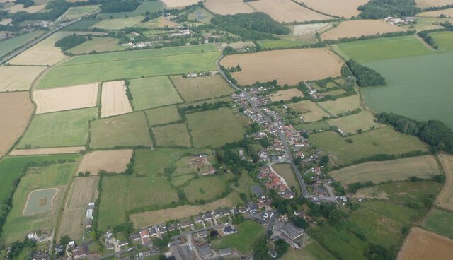
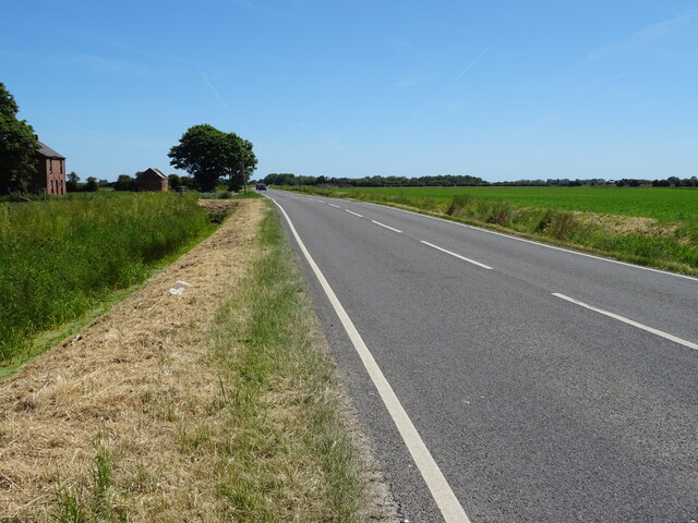
Bullock Plantation is located in the picturesque county of Lincolnshire, specifically in the Wood and Forest area. This historic estate is renowned for its natural beauty and rich cultural heritage. Covering several acres of lush greenery, it is a haven for nature enthusiasts and history buffs alike.
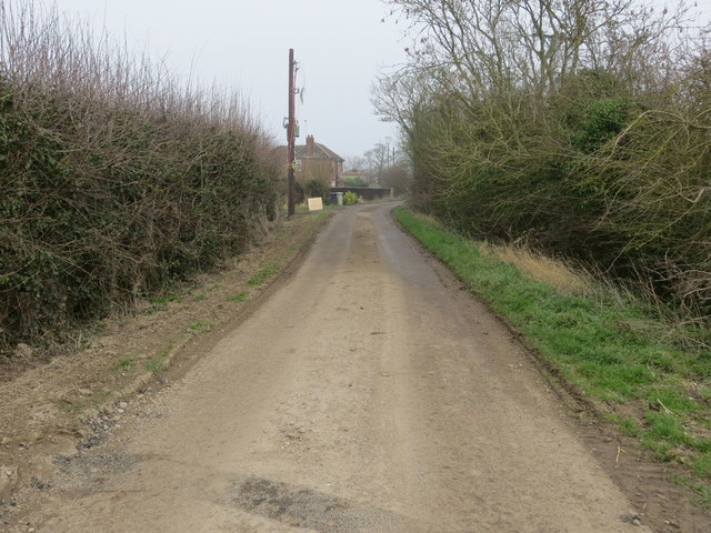
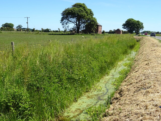
The plantation is characterized by its dense and diverse woodland, which is home to a variety of flora and fauna. Towering oak and beech trees dominate the landscape, creating a serene and tranquil atmosphere. The forest is also home to numerous walking trails, providing visitors with the opportunity to explore and immerse themselves in the beauty of the surroundings.
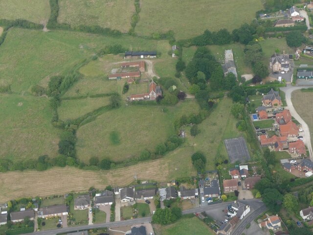
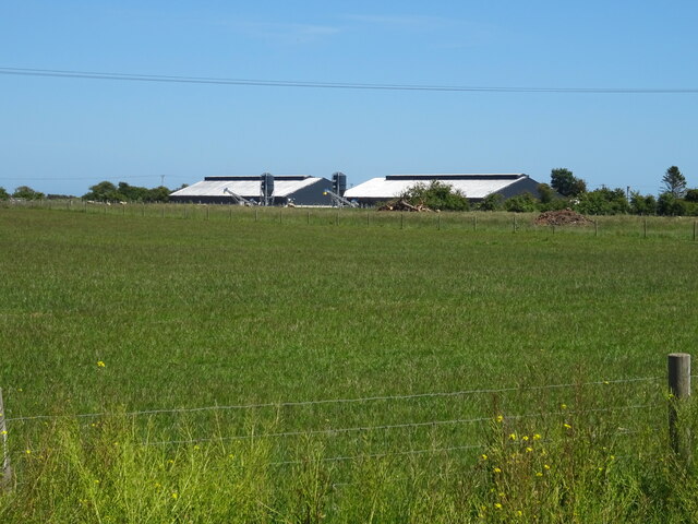
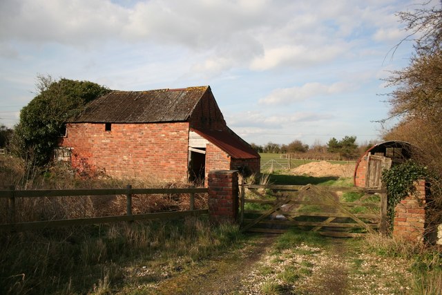
Dating back several centuries, the Bullock Plantation has a fascinating history. Originally established as a hunting ground for the aristocracy, it later became a working plantation, supplying timber for various industries. The remnants of old sawmills and timber yards can still be seen today, serving as a reminder of the area's industrial past.
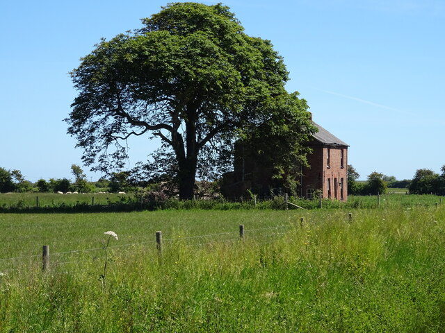
In addition to its natural wonders, Bullock Plantation boasts several historic landmarks. The centerpiece is a grand manor house, which was once the residence of the plantation's owners. This majestic building showcases exquisite architecture and is often open to the public for guided tours.
Overall, Bullock Plantation in Lincolnshire is a treasure trove of natural beauty and historical significance. Its idyllic setting and rich heritage make it a must-visit destination for those seeking to immerse themselves in the charm of the English countryside.
If you have any feedback on the listing, please let us know in the comments section below.
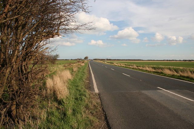
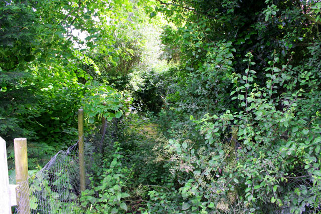
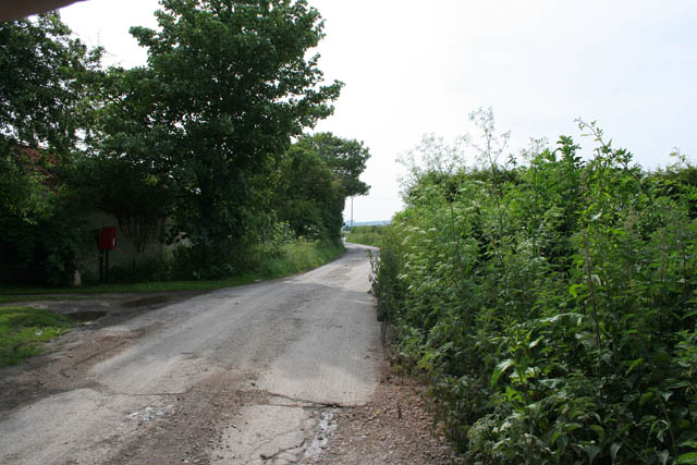
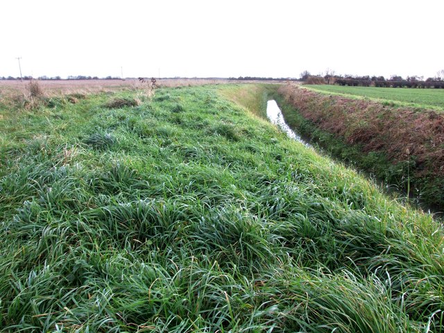
Bullock Plantation Images
Images are sourced within 2km of 53.185085/0.22970805 or Grid Reference TF4967. Thanks to Geograph Open Source API. All images are credited.


Bullock Plantation is located at Grid Ref: TF4967 (Lat: 53.185085, Lng: 0.22970805)
Administrative County: Lincolnshire
District: East Lindsey
Police Authority: Lincolnshire
What 3 Words
///about.conspire.yummy. Near Burgh le Marsh, Lincolnshire
Nearby Locations
Related Wikis

Orby
Orby is a village and civil parish in the East Lindsey district of Lincolnshire, England. It is situated approximately 9 miles (14 km) east from the town...

Burgh-le-Marsh railway station
Burgh-le-Marsh was a railway station on the East Lincolnshire Railway which served the town of Burgh le Marsh in Lincolnshire between 1848 and 1970. It...

Welton le Marsh
Welton le Marsh (or Welton in the Marsh) is a village and civil parish in the East Lindsey district of Lincolnshire, England. It is situated approximately...

Burgh Bypass
Burgh Bypass is a bypass of the town of Burgh Le Marsh near Skegness. It was passed in 2005 and construction began in September 2006 after a lengthy campaign...
Nearby Amenities
Located within 500m of 53.185085,0.22970805Have you been to Bullock Plantation?
Leave your review of Bullock Plantation below (or comments, questions and feedback).