Ollerton
Settlement in Shropshire
England
Ollerton
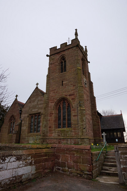
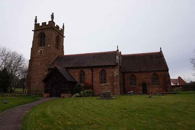
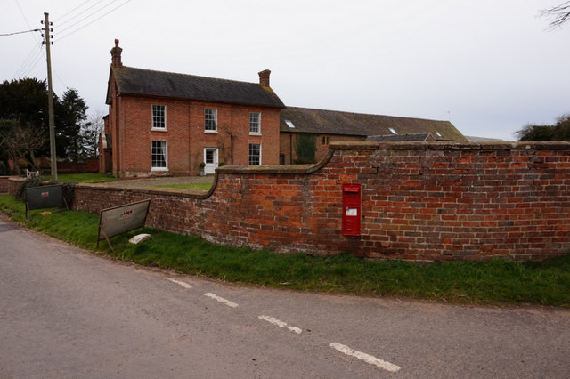
Ollerton is a small village located in the county of Shropshire, England. Situated approximately 4 miles north of the town of Market Drayton, Ollerton is nestled amidst picturesque countryside and offers a charming rural setting.
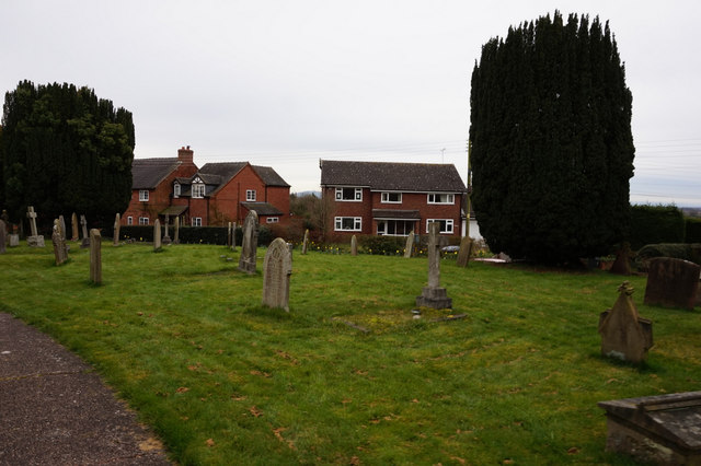
The village is home to a close-knit community, with a population of around 500 residents. Ollerton boasts a rich history, dating back to the Domesday Book of 1086, where it was recorded as "Alreton". The name Ollerton is believed to have originated from the Old English words "alor", meaning alder tree, and "tun", meaning settlement.
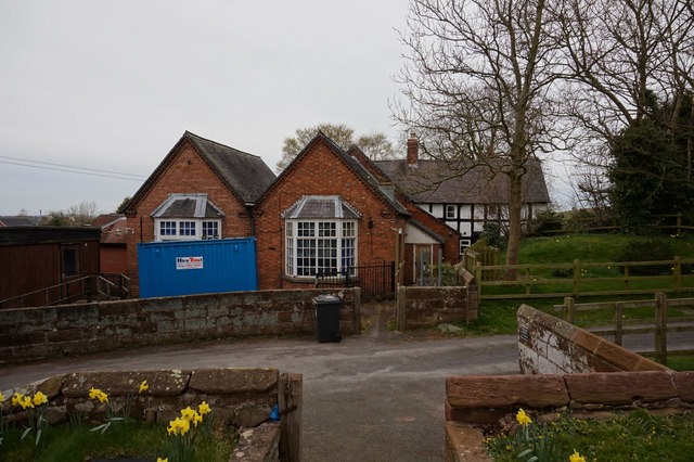
In terms of amenities, Ollerton offers a range of facilities to cater to the needs of its residents. These include a primary school, a village hall, a post office, and a local pub, providing a gathering place for locals and visitors alike. The village also benefits from excellent transport links, with easy access to major road networks such as the A53 and A41.
Surrounded by beautiful countryside, Ollerton is a haven for nature lovers and outdoor enthusiasts. The village is situated close to the Shropshire Union Canal, offering opportunities for leisurely walks and boating activities. The nearby Hawkstone Park Follies, a historic woodland landscape, provides stunning views and a chance to explore caves, grottos, and cliffs.
Overall, Ollerton is a picturesque village that encapsulates the charm and tranquility of rural Shropshire. With its rich history, thriving community, and proximity to natural beauty spots, Ollerton offers a delightful place to live or visit.
If you have any feedback on the listing, please let us know in the comments section below.
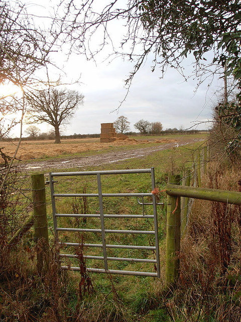
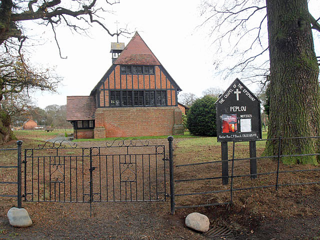
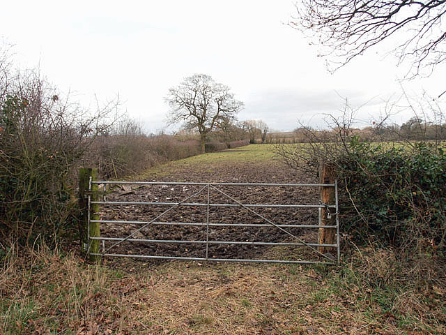
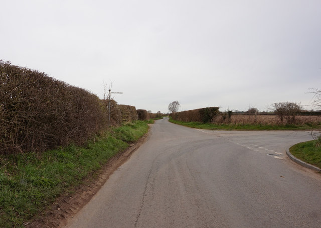
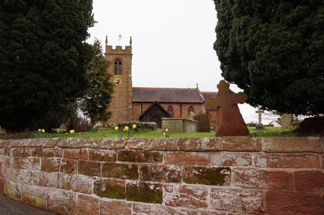
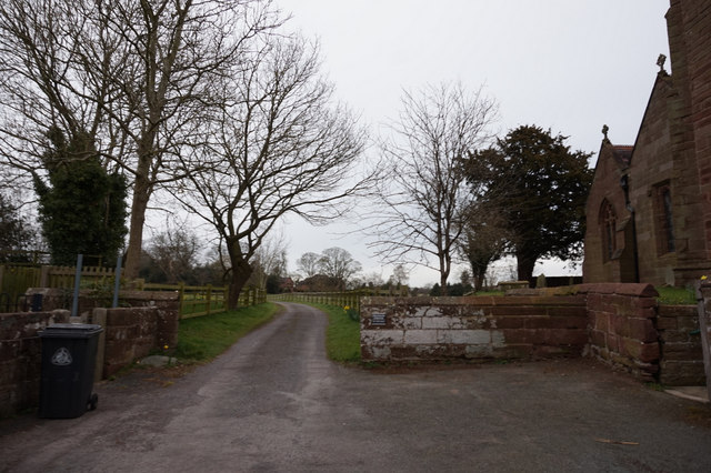
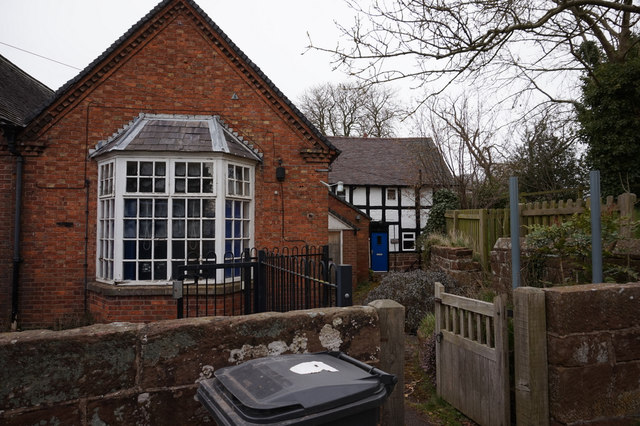
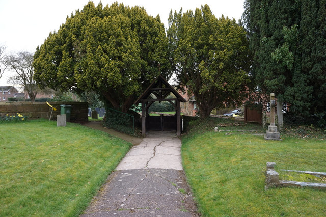
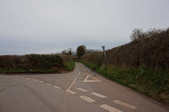
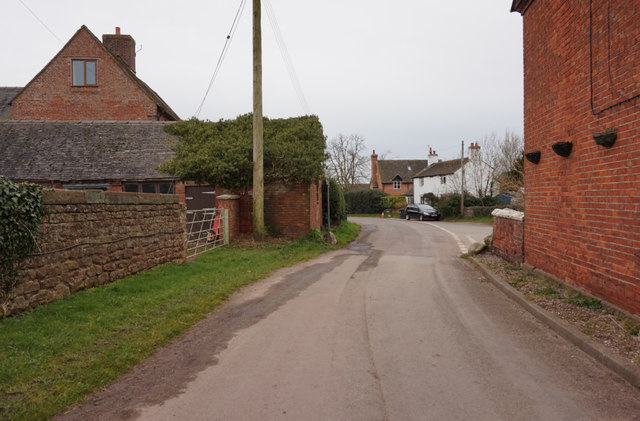
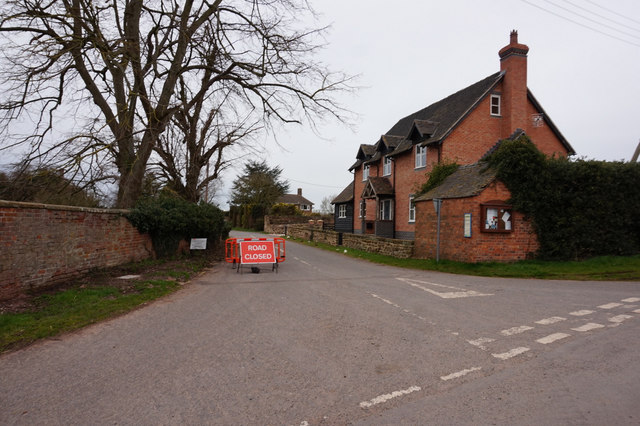
Ollerton Images
Images are sourced within 2km of 52.823971/-2.52161 or Grid Reference SJ6425. Thanks to Geograph Open Source API. All images are credited.

Ollerton is located at Grid Ref: SJ6425 (Lat: 52.823971, Lng: -2.52161)
Unitary Authority: Shropshire
Police Authority: West Mercia
What 3 Words
///spotted.inversely.dizziness. Near Stoke upon Tern, Shropshire
Nearby Locations
Related Wikis

Ollerton, Shropshire
Ollerton is a small village, located in the parish of Stoke upon Tern in Shropshire, England. Ollerton is located in a rural area approximately midway...

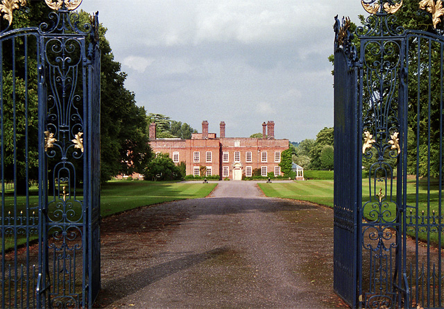
Peplow Hall
Peplow Hall is a privately-owned 11,635 square feet (1,080.9 m2), 18th-century mansion at Peplow, near Hodnet, Shropshire. It is a Grade II* listed building...

RNAS Hinstock (HMS Godwit)
Royal Naval Air Station Hinstock (RNAS Hinstock, also known as HMS Godwit) is a former Royal Navy, Fleet Air Arm station, located 4 miles (6 km) South...

Child's Ercall
Child's Ercall ( AR-kəl) is a village and civil parish in Shropshire, England. It is located in a rural area between the small towns of Market Drayton...
Related Videos

Playing ride around the globe holiday
Come here small world fans.
Nearby Amenities
Located within 500m of 52.823971,-2.52161Have you been to Ollerton?
Leave your review of Ollerton below (or comments, questions and feedback).