Ollerbrook Booth
Settlement in Derbyshire High Peak
England
Ollerbrook Booth
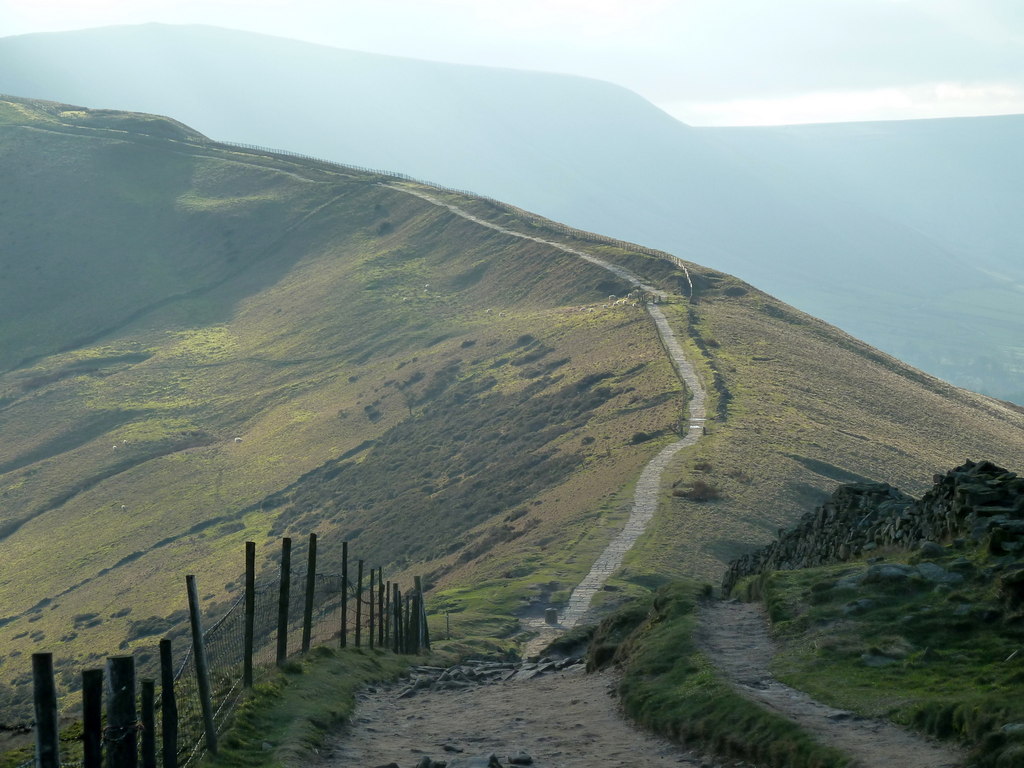
Ollerbrook Booth is a small hamlet located in the Peak District National Park, in the county of Derbyshire, England. Situated approximately 2 miles southwest of the town of Edale, it is nestled in a picturesque valley surrounded by rolling hills and breathtaking natural beauty.
The hamlet consists of a cluster of traditional stone-built cottages that date back several centuries, giving it a charming and timeless appeal. Ollerbrook Booth is known for its peaceful and idyllic atmosphere, making it a popular destination for those seeking a quiet retreat away from the hustle and bustle of city life.
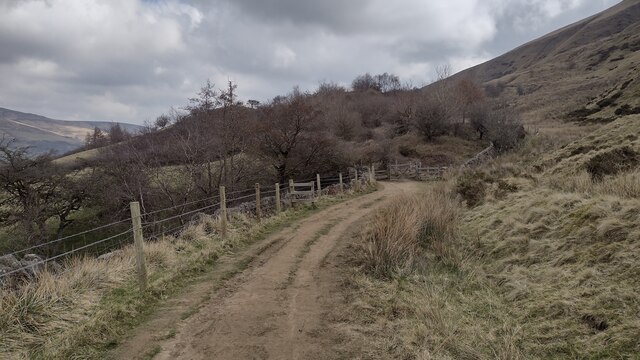
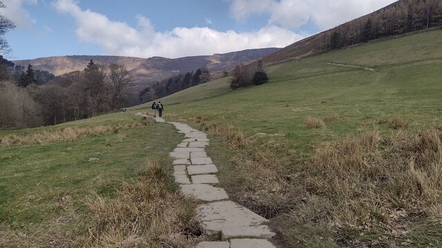
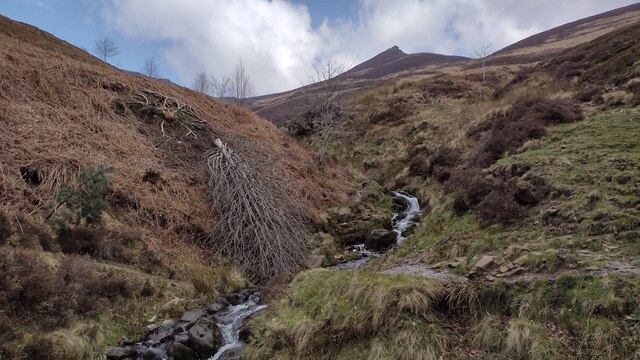
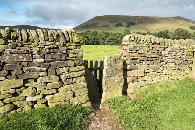
The surrounding countryside offers a plethora of outdoor activities for visitors to enjoy. The area is renowned for its excellent walking trails, with the famous Pennine Way passing close by. Hikers and nature enthusiasts can explore the rugged moorland, ancient woodlands, and cascading waterfalls that characterize the region.
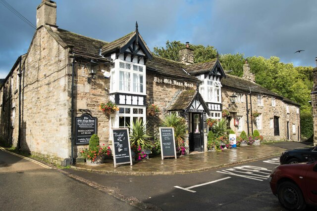
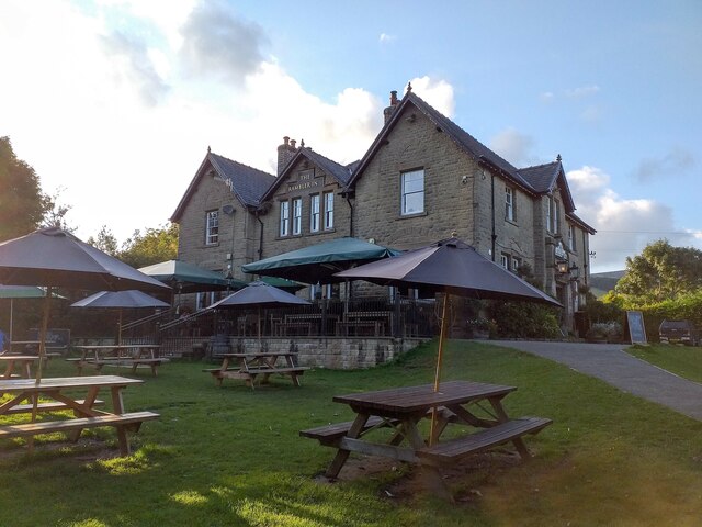
Despite its small size, Ollerbrook Booth is conveniently located near several amenities. The nearby village of Edale offers a range of amenities, including a pub, a café, and a small shop. The town of Castleton, with its historical sites and tourist attractions, is also within easy reach.
Overall, Ollerbrook Booth offers a serene and picturesque setting for those seeking a tranquil escape in the heart of the Peak District. It is a place where visitors can immerse themselves in the natural beauty of the surrounding landscape and experience the charm of a traditional Derbyshire hamlet.
If you have any feedback on the listing, please let us know in the comments section below.
Ollerbrook Booth Images
Images are sourced within 2km of 53.37034/-1.809391 or Grid Reference SK1285. Thanks to Geograph Open Source API. All images are credited.


Ollerbrook Booth is located at Grid Ref: SK1285 (Lat: 53.37034, Lng: -1.809391)
Administrative County: Derbyshire
District: High Peak
Police Authority: Derbyshire
What 3 Words
///likely.gear.dunk. Near High Peak, Derbyshire
Nearby Locations
Related Wikis

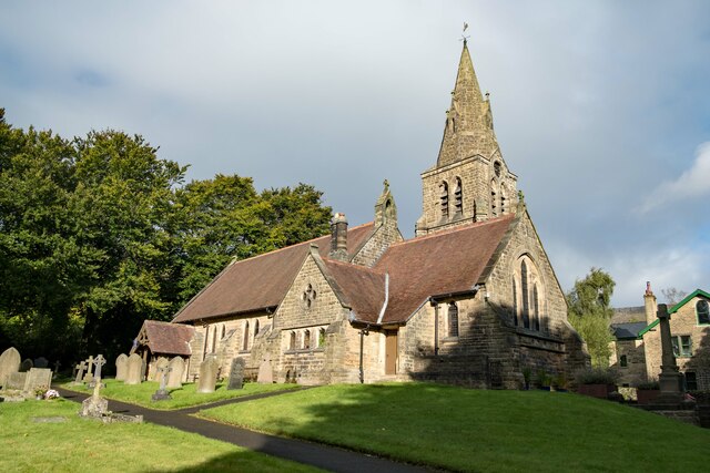
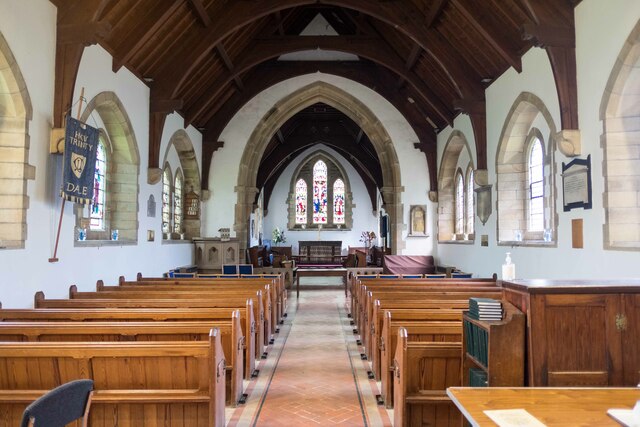
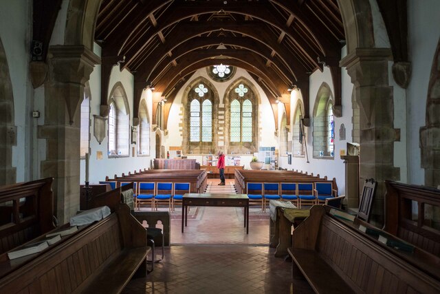
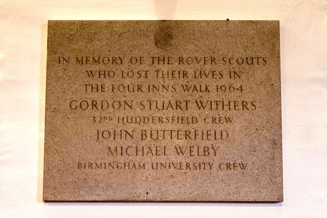
The Church of the Holy and Undivided Trinity, Edale
The Church of the Holy and Undivided Trinity, Edale, is a Grade II listed parish church in the Church of England in Edale, Derbyshire. == History == The...

Edale
Edale is a village and civil parish in the Peak District, Derbyshire, England, whose population was 353 at the 2011 Census. Edale, with an area of 7,030...
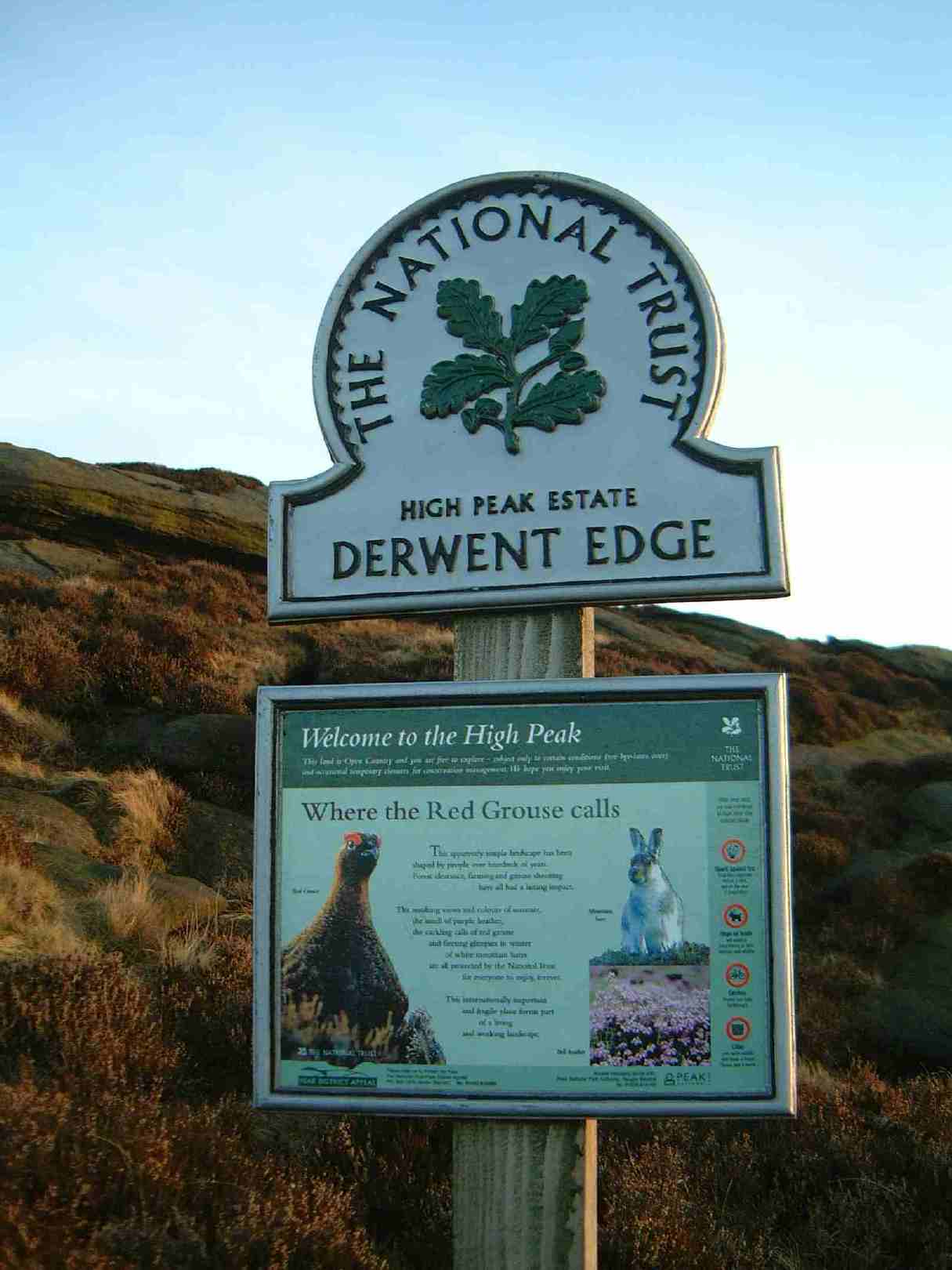
High Peak Estate
The High Peak Estate is an area of Pennine moorland in the ownership of the National Trust in the Dark Peak area of Derbyshire, England. The National...
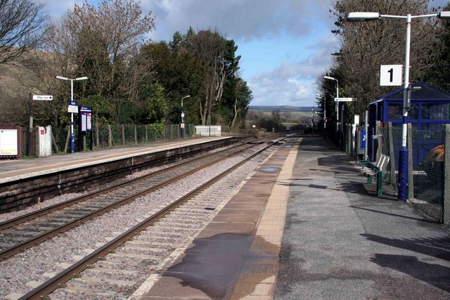
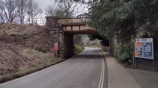
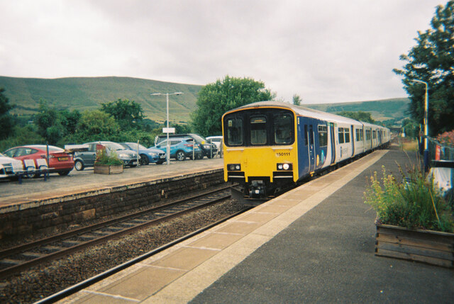
Edale railway station
Edale railway station serves the rural village of Edale in the Derbyshire Peak District, in England. It is located 20 miles (32 km) west of Sheffield and...
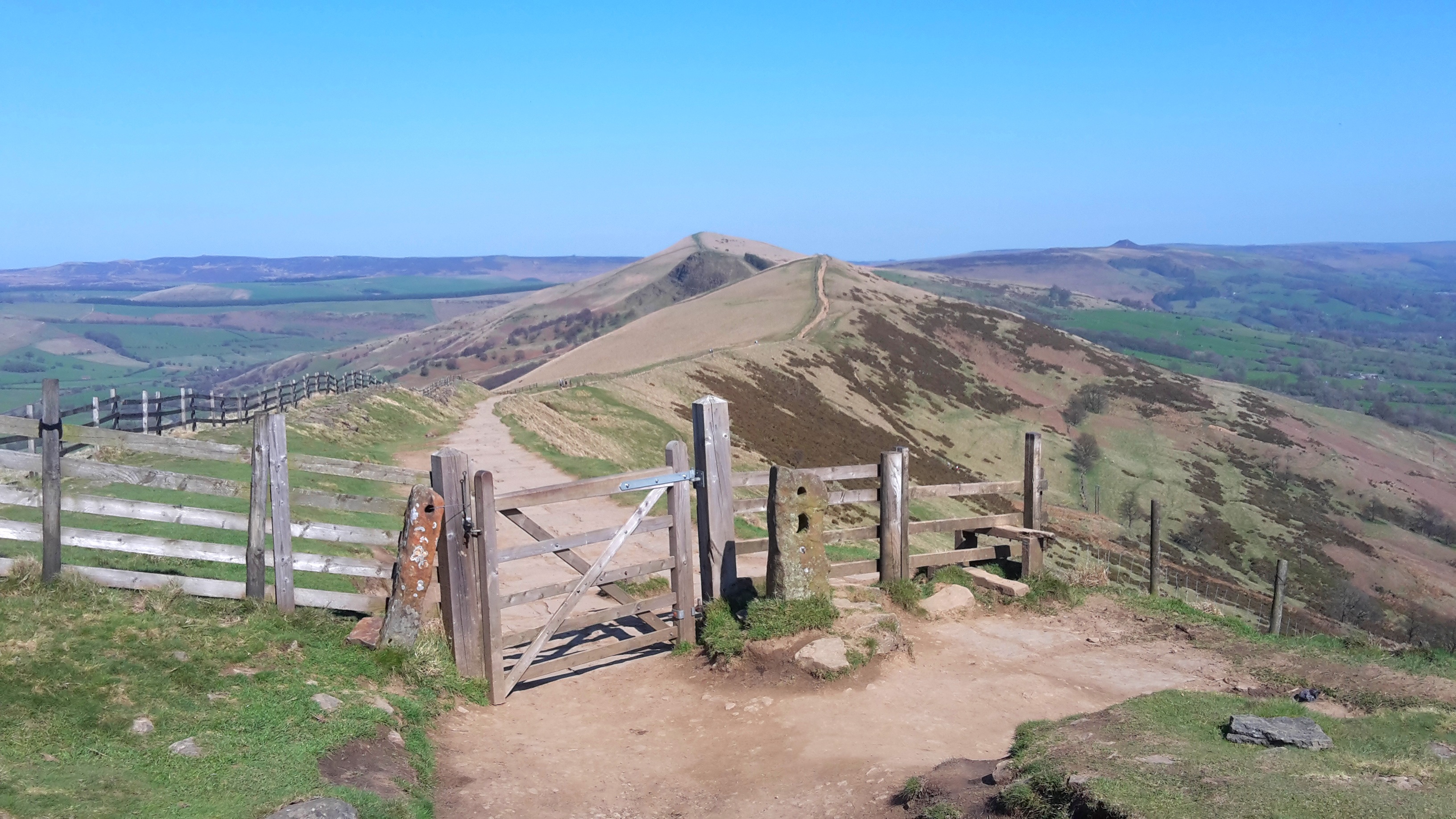
Great Ridge
Great Ridge is a ridge separating the vales of Edale and Castleton in Derbyshire, England. It extends for approximately 3 kilometres (1.9 mi) from Mam...
Hollins Cross
Hollins Cross lies between Mam Tor and Lose Hill on the Great Ridge that separates Castleton and Edale in Derbyshire, England. Hollins Cross is the lowest...
Grindslow Knoll
Grindslow Knoll is a hill in the Dark Peak area of the Peak District National Park in Derbyshire, England. It is joined to Kinder Scout by a high col though...

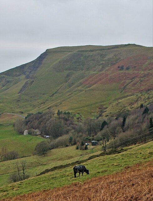
Mam Tor
Mam Tor is a 517 m (1,696 ft) hill near Castleton in the High Peak of Derbyshire, England. Its name means "mother hill", so called because frequent landslips...
Nearby Amenities
Located within 500m of 53.37034,-1.809391Have you been to Ollerbrook Booth?
Leave your review of Ollerbrook Booth below (or comments, questions and feedback).