Water Meadows
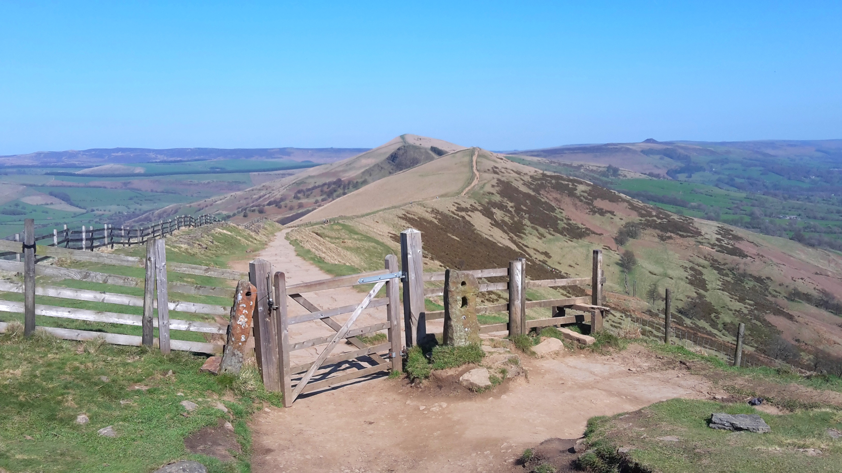
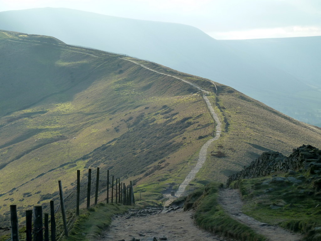
Downs, Moorland in Derbyshire High Peak
England
Water Meadows
Water Meadows is a picturesque region located in Derbyshire, England. Spanning across vast areas of downs and moorland, this stunning landscape offers an array of natural beauty and diverse ecosystems.
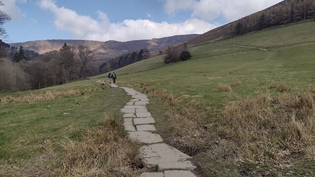
The downs in Water Meadows are characterized by rolling hills covered in lush green grasslands. These hills provide a picturesque backdrop, offering breathtaking views of the surrounding countryside. The downs are home to a variety of flora and fauna, with wildflowers such as cowslips and harebells dotting the landscape during the warmer months. The area is also known for its abundance of birdlife, with species such as skylarks and meadow pipits often seen soaring above the downs.
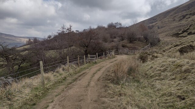
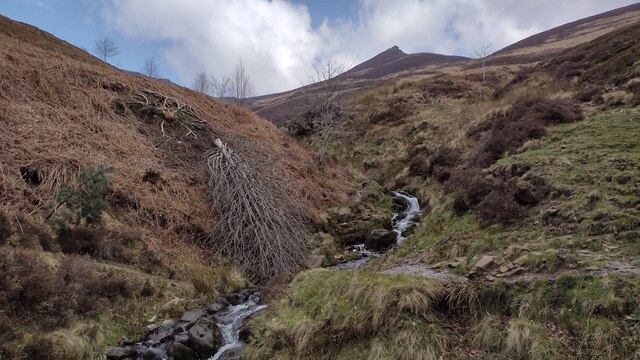
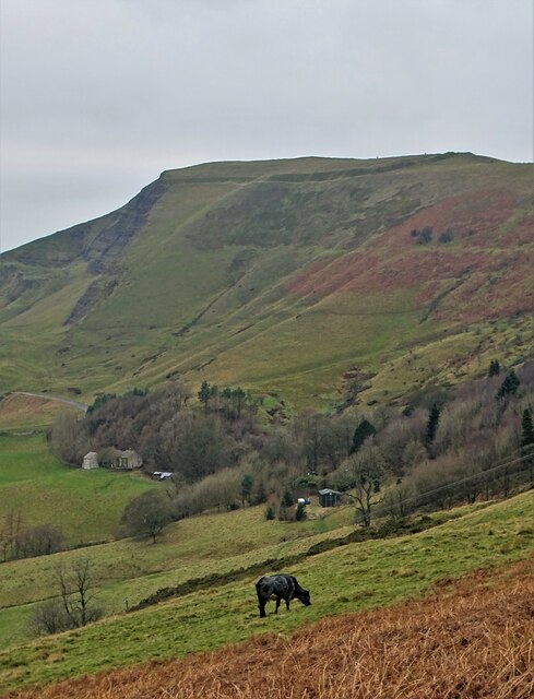
In contrast, the moorland in Water Meadows showcases a different aspect of the region's natural beauty. This rugged and untamed landscape is characterized by vast expanses of heather, interspersed with rocky outcrops and peat bogs. Moorland birds, including grouse and curlews, can often be spotted here, and the area is also home to a variety of unique plant species that thrive in the acidic soil.
Water Meadows is a haven for outdoor enthusiasts, offering a range of activities such as hiking, birdwatching, and photography. The diverse landscapes provide ample opportunities to explore and immerse oneself in nature. The region's tranquil atmosphere and breathtaking vistas make it a popular destination for those seeking a break from the hustle and bustle of city life.
In conclusion, Water Meadows in Derbyshire is a stunning region that showcases the beauty of downs and moorland. With its diverse ecosystems and picturesque landscapes, this area offers a tranquil escape for nature lovers and outdoor enthusiasts alike.
If you have any feedback on the listing, please let us know in the comments section below.
Water Meadows Images
Images are sourced within 2km of 53.363653/-1.8141975 or Grid Reference SK1285. Thanks to Geograph Open Source API. All images are credited.


Water Meadows is located at Grid Ref: SK1285 (Lat: 53.363653, Lng: -1.8141975)
Administrative County: Derbyshire
District: High Peak
Police Authority: Derbyshire
What 3 Words
///prettiest.swam.derailed. Near High Peak, Derbyshire
Nearby Locations
Related Wikis
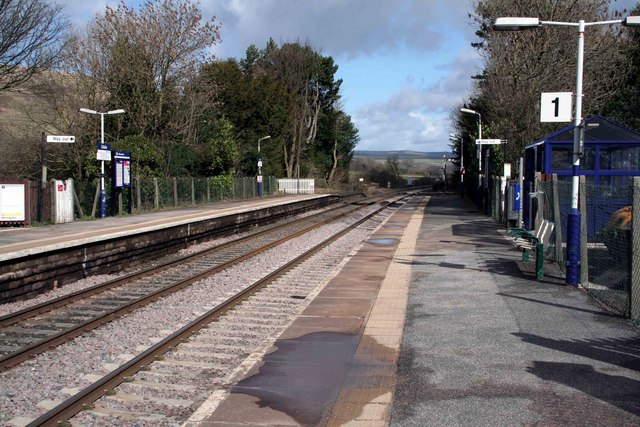
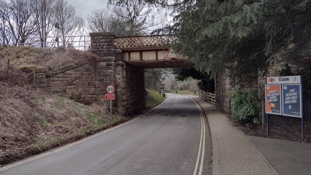
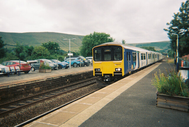
Edale railway station
Edale railway station serves the rural village of Edale in the Derbyshire Peak District, in England. It is located 20 miles (32 km) west of Sheffield and...

Edale
Edale is a village and civil parish in the Peak District, Derbyshire, England, whose population was 353 at the 2011 Census. Edale, with an area of 7,030...
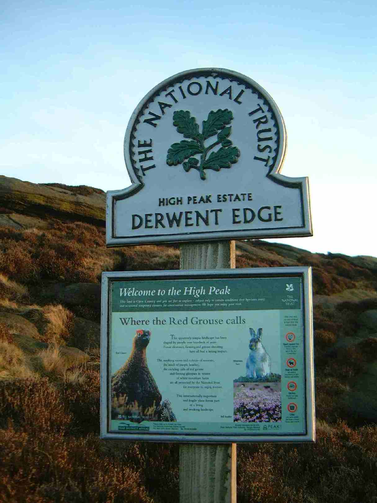
High Peak Estate
The High Peak Estate is an area of Pennine moorland in the ownership of the National Trust in the Dark Peak area of Derbyshire, England. The National...

The Church of the Holy and Undivided Trinity, Edale
The Church of the Holy and Undivided Trinity, Edale, is a Grade II listed parish church in the Church of England in Edale, Derbyshire. == History == The...
Great Ridge
Great Ridge is a ridge separating the vales of Edale and Castleton in Derbyshire, England. It extends for approximately 3 kilometres (1.9 mi) from Mam...
Hollins Cross
Hollins Cross lies between Mam Tor and Lose Hill on the Great Ridge that separates Castleton and Edale in Derbyshire, England. Hollins Cross is the lowest...

Mam Tor
Mam Tor is a 517 m (1,696 ft) hill near Castleton in the High Peak of Derbyshire, England. Its name means "mother hill", so called because frequent landslips...

Odin Mine
Odin Mine is a disused lead mine in the Peak District National Park, situated at grid reference SK133835. It lies on a site of 25 hectares near the village...
Nearby Amenities
Located within 500m of 53.363653,-1.8141975Have you been to Water Meadows?
Leave your review of Water Meadows below (or comments, questions and feedback).