Black Fell

Downs, Moorland in Yorkshire Harrogate

England

Black Fell

Old Milestone on the former A59 at Pace Gate Metal plate attached to stone post by the UC road (was A59), in parish of Hazelwood with Storiths (Craven District), Pace Gate, just West of farmhouse on brow of hill at East end of old section of road, on South side of road. WR iron casting, erected by the County Council in the 19th century. 

Inscription reads:-
: SKIPTON / 9 MILES : : SKIPTON & KNARESBOROUGH / ROAD / HAZELWOOD / WITH / STORRITHS : : HARROGATE / 13 MILES / KNARESBORO / 15¾ MILES : 

Milestone Society National ID: YN_SKKB09
Old Milestone on the former A59 at Pace Gate Credit: Matthew Hatton

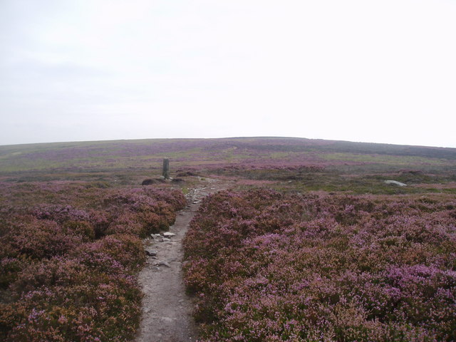
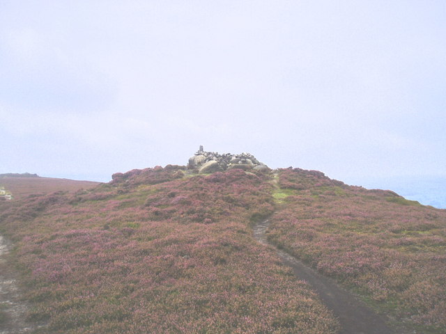
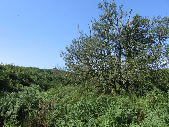
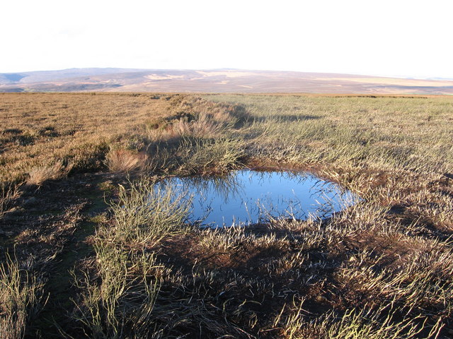
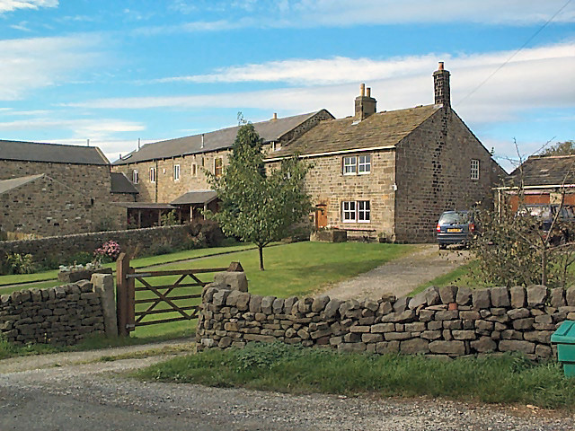
Black Fell is a picturesque area located in the county of Yorkshire, England. Spread across the Yorkshire Downs and Moorland, it offers a unique blend of natural beauty and cultural heritage. The landscape is characterized by rolling hills, heather-covered moors, and vast open spaces, providing visitors with breathtaking panoramic views.

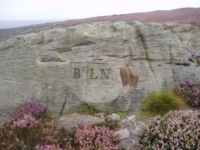
The area is home to a diverse range of wildlife, including rare species such as curlews and lapwings, making it an ideal destination for nature enthusiasts and birdwatchers. The moorland is also dotted with ancient stone structures, such as standing stones and burial mounds, which serve as a testament to the area's rich history.

Black Fell offers numerous recreational activities for outdoor enthusiasts. Hiking and walking trails crisscross the region, allowing visitors to explore its stunning scenery at their own pace. The Yorkshire Downs provide opportunities for horse riding, cycling, and even paragliding. Additionally, the moorland's rich peat is used for traditional peat cutting, which offers a unique cultural experience.

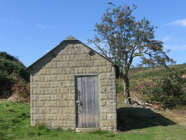
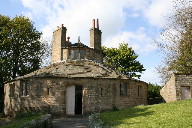
The area surrounding Black Fell is also steeped in history and culture. Nearby villages and towns boast charming stone cottages, traditional pubs, and historic landmarks, providing visitors with a glimpse into Yorkshire's past. Additionally, the region is known for its vibrant local festivals and events, celebrating Yorkshire's traditions, music, and food.

Black Fell, Yorkshire, with its blend of natural beauty, cultural heritage, and recreational activities, offers a memorable experience for visitors seeking to immerse themselves in the charm of the Yorkshire Downs and Moorland.

If you have any feedback on the listing, please let us know in the comments section below.

Black Fell Images

Images are sourced within 2km of 53.979617/-1.8116086 or Grid Reference SE1253. Thanks to Geograph Open Source API. All images are credited.

Old Milestone on the former A59 at Pace Gate Metal plate attached to stone post by the UC road (was A59), in parish of Hazelwood with Storiths (Craven District), Pace Gate, just West of farmhouse on brow of hill at East end of old section of road, on South side of road. WR iron casting, erected by the County Council in the 19th century. 

Inscription reads:-
: SKIPTON / 9 MILES : : SKIPTON & KNARESBOROUGH / ROAD / HAZELWOOD / WITH / STORRITHS : : HARROGATE / 13 MILES / KNARESBORO / 15¾ MILES : 

Milestone Society National ID: YN_SKKB09
Old Milestone on the former A59 at Pace Gate
Metal plate attached to stone post by the UC road (was A59), in parish of Hazelwood with Storiths (Craven District), Pace Gate, just West of farmhouse on brow of hill at East end of old section of road, on South side of road. WR iron casting, erected by the County Council in the 19th century. Inscription reads:- : SKIPTON / 9 MILES : : SKIPTON & KNARESBOROUGH / ROAD / HAZELWOOD / WITH / STORRITHS : : HARROGATE / 13 MILES / KNARESBORO / 15¾ MILES : Milestone Society National ID: YN_SKKB09
Farmland around Pace Gate Farm The road is the old A59, now bypassed by a new road just out of the photograph on the right. It's hard to imagine all the traffic and big trucks going along this narrow road.
Farmland around Pace Gate Farm
The road is the old A59, now bypassed by a new road just out of the photograph on the right. It's hard to imagine all the traffic and big trucks going along this narrow road.
A59 on Kex Gill Moor
Kexgill Farm
Kexgill Farm
Milepost on Gawk Hall Ridge Stone pillar that indicates that Ilkley is 3 miles away, and Ripon is an indefinite distance as the writing has faded
Milepost on Gawk Hall Ridge
Stone pillar that indicates that Ilkley is 3 miles away, and Ripon is an indefinite distance as the writing has faded
High Moss Broad ridge of moorland to the south east of Round Hill and Gawk Hall
High Moss
Broad ridge of moorland to the south east of Round Hill and Gawk Hall
Sug Marsh Perhaps more appropriately should have been christened "Suck Marsh".  This is particularly juicy portion of Blubberhouses Moor
Sug Marsh
Perhaps more appropriately should have been christened "Suck Marsh". This is particularly juicy portion of Blubberhouses Moor
Boundary marker The boundary between the parishes of Beamsley and Langbar Nesfield marked on this large boulder instead of a normal stone boundary marker
Boundary marker
The boundary between the parishes of Beamsley and Langbar Nesfield marked on this large boulder instead of a normal stone boundary marker
Bramberry Hill Footpath leading through heather to Bramberry Hill with parish boundary marker.
Bramberry Hill
Footpath leading through heather to Bramberry Hill with parish boundary marker.
Boundary stone Boundary stone at Catholic Gate, near Round Hill
Boundary stone
Boundary stone at Catholic Gate, near Round Hill
Track on Gawk Hill Ridge Track leading from Catholic Gate towards Gawk Hill Gate and on to Lippersley Pike.
Track on Gawk Hill Ridge
Track leading from Catholic Gate towards Gawk Hill Gate and on to Lippersley Pike.
Detail of Mile Post on Gawk Hall Ridge 12 miles to Ripon. Ilkley 3 miles
Detail of Mile Post on Gawk Hall Ridge
12 miles to Ripon. Ilkley 3 miles
The Old Pike Cairn on the Beamsley Beacon Ridge.
The Old Pike
Cairn on the Beamsley Beacon Ridge.
Loftshaw Gill Shooting Shelter
Middle Gill, Bracken Ridge The gill (to the left of the tree) can be heard but not seen, completely obscured by bracken!
Middle Gill, Bracken Ridge
The gill (to the left of the tree) can be heard but not seen, completely obscured by bracken!
Black Hill Farm
Black Hill Farm
Beamsley Moor A line of tall heather runs into the distance to the left of the pool,
missed by two different areas of burning.
Beamsley Moor
A line of tall heather runs into the distance to the left of the pool, missed by two different areas of burning.
Beamsley Moor A GPS makes it easy to navigate off the footpath!
Beamsley Moor
A GPS makes it easy to navigate off the footpath!
Show me another place!

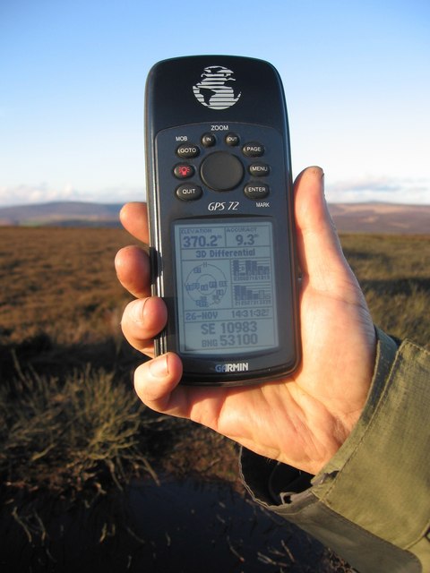
Black Fell is located at Grid Ref: SE1253 (Lat: 53.979617, Lng: -1.8116086)

Division: West Riding

Administrative County: North Yorkshire

District: Harrogate

Police Authority: North Yorkshire

What 3 Words

///barstool.nuptials.flicked. Near Ilkley, West Yorkshire

Nearby Locations

Black Fell Round Hill

Related Wikis

Kex Gill Bypass

The Kex Gill Bypass is a future stretch of A-road across Kex Gill Moor to Blubberhouses in North Yorkshire, England. The route is part of the A59 road...

Hazlewood with Storiths

Hazlewood with Storiths is a civil parish in the Craven district of North Yorkshire, England. The population of the civil parish as of the 2011 census...

Hazlewood

Hazlewood is a hamlet in the English county of North Yorkshire. Hazlewood lies to the east of the town of Skipton by 7.5 miles (12.1 km) and is located...

Beamsley Hospital

Beamsley Hospital is an Almshouse building at Beamsley, near Skipton in North Yorkshire, and founded in 1593 by the Lady Margaret Russell, the Countess...

Middleton-on-Wharfe

Middleton is a hamlet and civil parish in the Harrogate district of North Yorkshire, England. It is on the border with West Yorkshire and 1 mile north...

Blubberhouses

Blubberhouses is a small village and civil parish in the Washburn Valley in North Yorkshire, England. The population as at the 2011 Census was less than...

Beamsley

Beamsley is a village and civil parish in the Craven district of North Yorkshire, England. It is just within the boundary of the Yorkshire Dales National...

Thruscross Reservoir

Thruscross Reservoir is the northernmost of four reservoirs in the Washburn valley, lying north of Otley and west of Harrogate in North Yorkshire, England...

Nearby Amenities

Located within 500m of 53.979617,-1.8116086
Round Hill
Natural: peak
Source: npe
Lat/Long: 53.9766295/-1.8146017
Black Fell
Ele: 1341 feet
Man Made: survey_point
Source: OS 1:25k
Lat/Long: 53.977527/-1.8147867
Fell Side
Natural: fell
Source: OS 1:25k
Lat/Long: 53.9813818/-1.818213
Barrier: stile
Stile: stepover
Lat/Long: 53.9773818/-1.8153013
Historic: boundary_stone
Source: NLS-OS-1st_Series
Lat/Long: 53.9776799/-1.8181783
Historic: boundary_stone
Source: NLS-OS-1st_Series
Lat/Long: 53.9769108/-1.8129866
Historic: boundary_stone
Source: NLS-OS-1st_Series
Lat/Long: 53.9773373/-1.8155229
Historic: boundary_stone
Source: NLS-OS-1st_Series
Lat/Long: 53.9762173/-1.8105619
Historic: boundary_stone
Source: NLS-OS-1st_Series
Lat/Long: 53.9806333/-1.8186289
The data included in this document is from www.openstreetmap.org. The data is made available under ODbL.

Have you been to Black Fell?

Leave your review of Black Fell below (or comments, questions and feedback).