Old Shoreham
Settlement in Sussex Adur
England
Old Shoreham
Old Shoreham is a small village located in West Sussex, England. Situated on the banks of the River Adur, it is just a few miles from the coastal town of Shoreham-by-Sea. The village has a rich history that dates back to Roman times, evident by the remains of a Roman villa discovered in the area.
The heart of Old Shoreham is its traditional village green, surrounded by charming cottages and historic buildings. St. Mary de Haura Church, an iconic landmark, dominates the village skyline with its striking Norman architecture. This medieval church is renowned for its beautiful stained glass windows and intricate stone carvings.
The tranquility of Old Shoreham is further enhanced by the picturesque countryside that surrounds it. The South Downs National Park, a designated Area of Outstanding Natural Beauty, is within easy reach, offering breathtaking views and countless walking trails.
Old Shoreham is also known for its strong sense of community. The village hosts various events and festivals throughout the year, including a popular summer fair and a Christmas market. Local pubs and tearooms provide a cozy atmosphere for residents and visitors to enjoy traditional English fare.
While Old Shoreham may be small in size, it offers a wealth of historical and natural riches for those seeking a peaceful retreat in the English countryside.
If you have any feedback on the listing, please let us know in the comments section below.
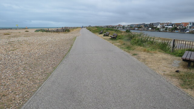
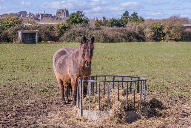
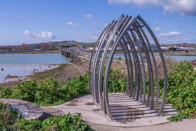
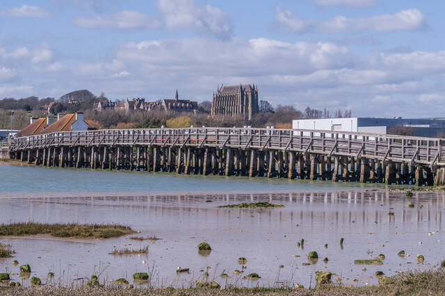
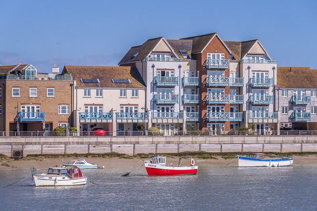
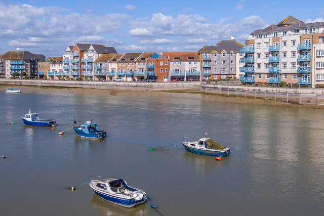
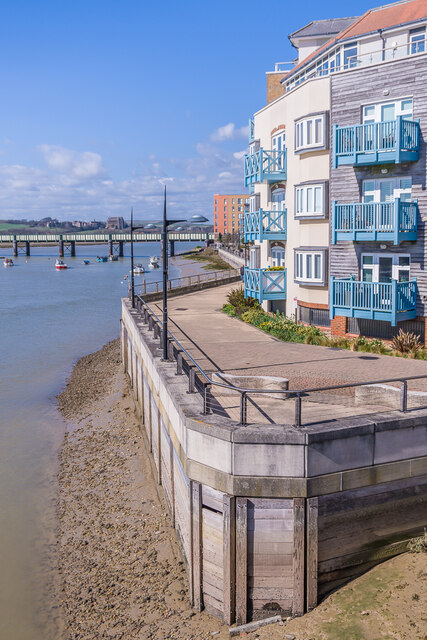
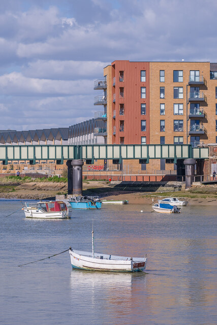
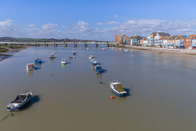
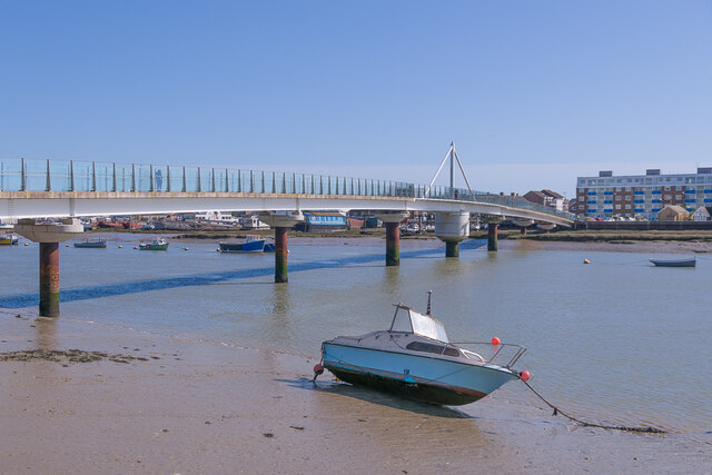
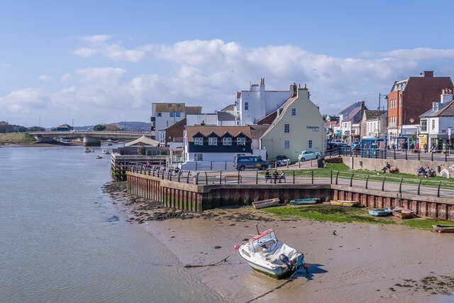
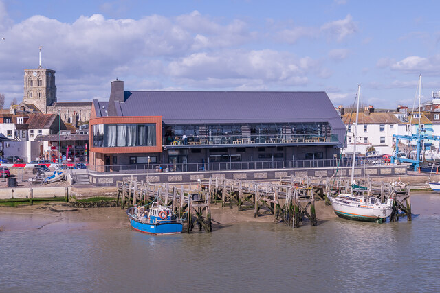
Old Shoreham Images
Images are sourced within 2km of 50.838806/-0.289709 or Grid Reference TQ2005. Thanks to Geograph Open Source API. All images are credited.


Old Shoreham is located at Grid Ref: TQ2005 (Lat: 50.838806, Lng: -0.289709)
Administrative County: West Sussex
District: Adur
Police Authority: Sussex
What 3 Words
///bolt.cabs.spenders. Near Shoreham-by-Sea, West Sussex
Nearby Locations
Related Wikis
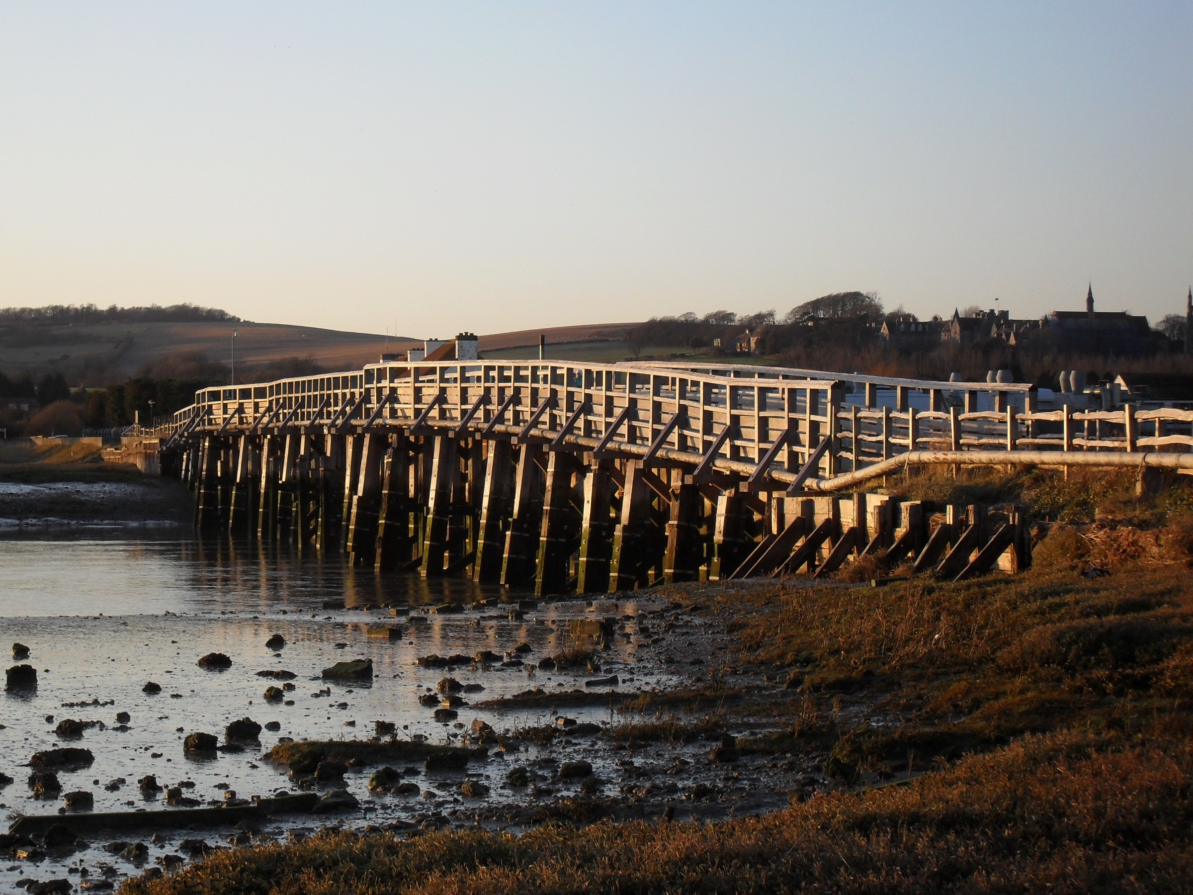
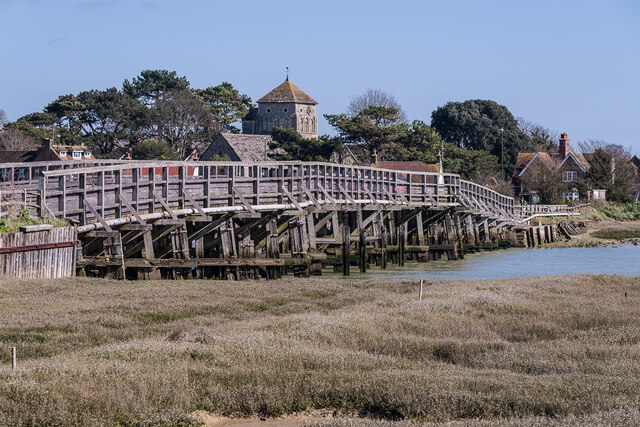
Shoreham Tollbridge
Shoreham Tollbridge is a bridge crossing the River Adur in West Sussex, England. It is the last of its kind in Sussex and one of the last of its kind anywhere...

Red Lion Inn, Shoreham-by-Sea
The Red Lion Inn is a 16th-century public house in the ancient Old Shoreham part of the town of Shoreham-by-Sea, in the Adur district of West Sussex, England...

St Nicolas Church, Shoreham-by-Sea
St Nicolas Church is an Anglican church in Old Shoreham, an ancient inland settlement that is now part of the town of Shoreham-by-Sea in the district of...

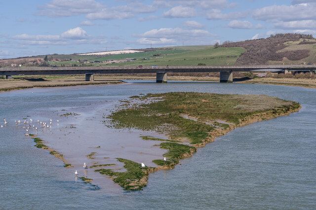
Adur Estuary
Adur Estuary is a 62.2-hectare (154-acre) biological Site of Special Scientific Interest on the western outskirts of Shoreham-by-Sea in West Sussex. Part...
Nearby Amenities
Located within 500m of 50.838806,-0.289709Have you been to Old Shoreham?
Leave your review of Old Shoreham below (or comments, questions and feedback).