Old
Settlement in Northamptonshire
England
Old
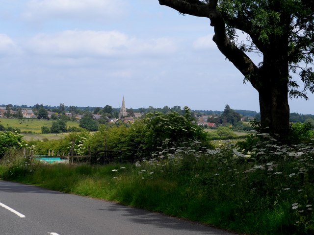
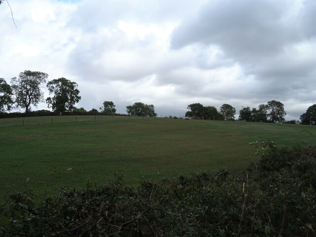
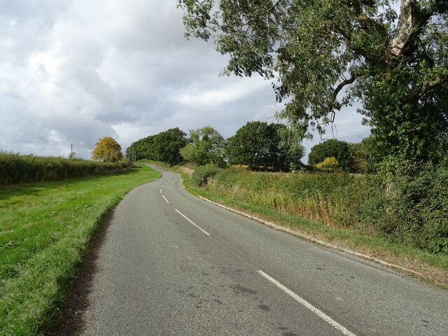
Old, Northamptonshire is a small village located in the county of Northamptonshire, England. Situated approximately 10 miles south of the county town of Northampton, Old is nestled in the picturesque countryside, surrounded by rolling hills and lush green fields.
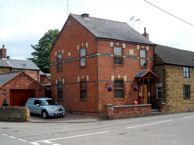
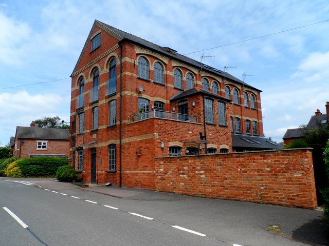
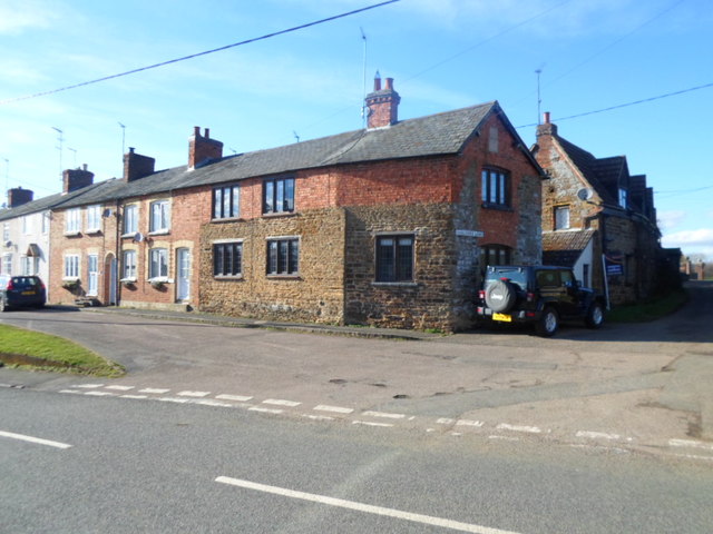
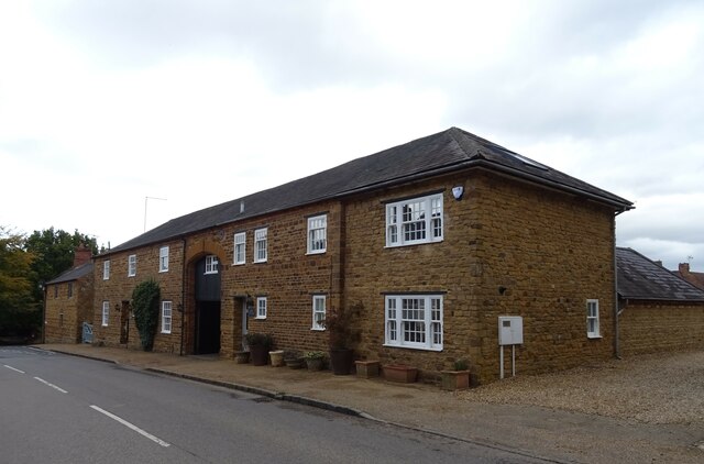
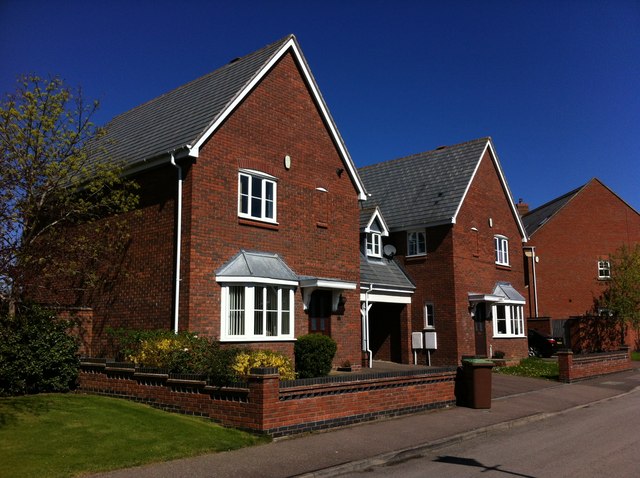
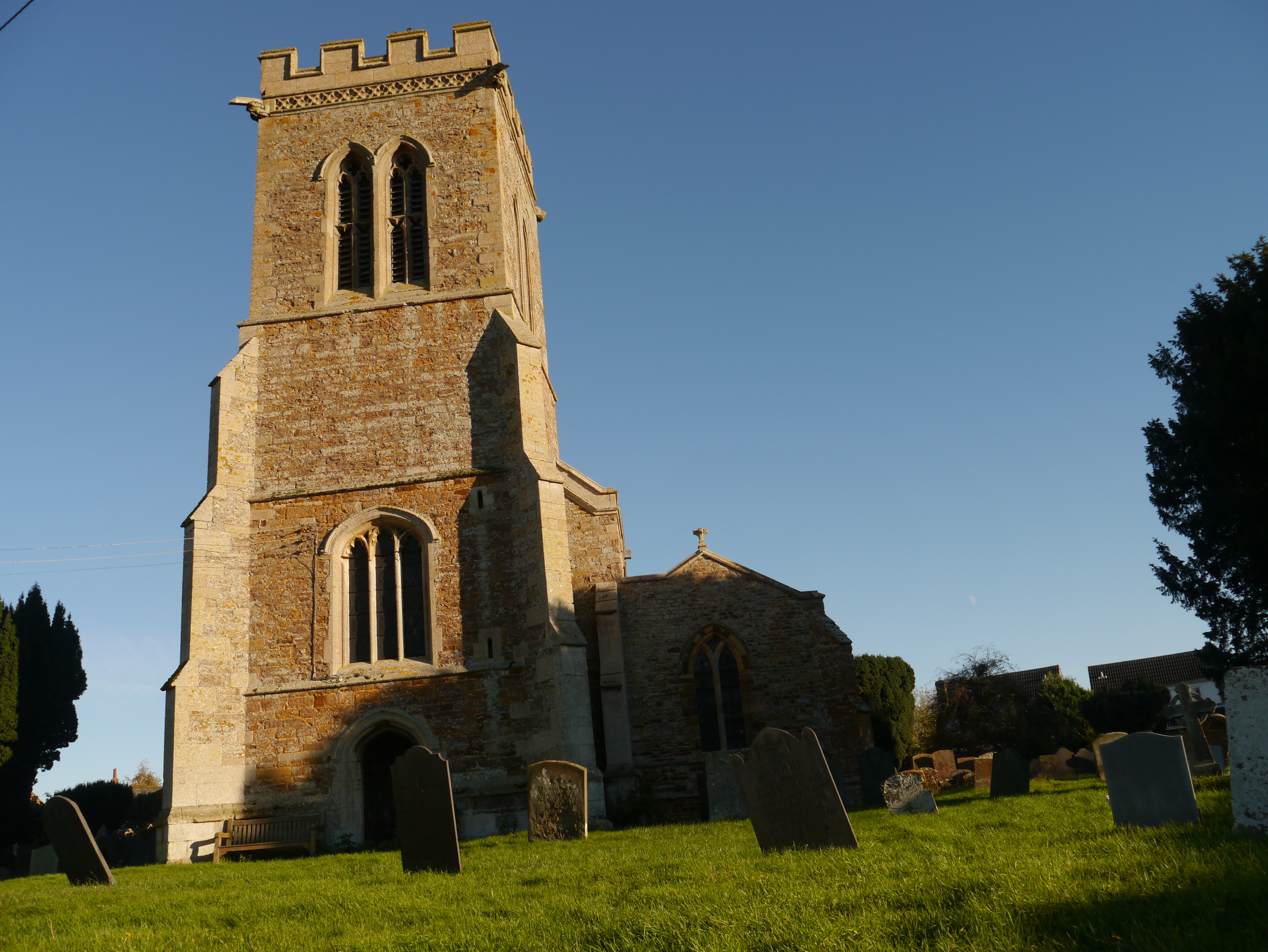
The village has a rich history that dates back to the medieval period, with evidence of settlement in the area as early as the 12th century. Today, Old maintains its traditional charm, with many of its buildings still retaining their original architecture and character. The village is home to a number of quaint thatched cottages, stone houses, and a historic parish church, which serves as a focal point for the community.
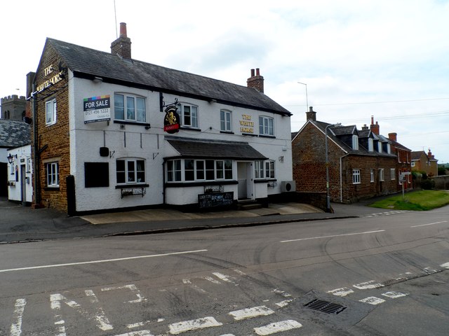
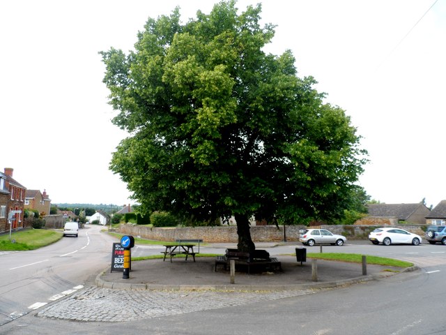
Despite its small size, Old offers a range of amenities to its residents and visitors. The village has a primary school, a village hall, and a local pub, where locals and tourists alike can enjoy a pint of local ale and a hearty meal. The surrounding countryside provides ample opportunities for outdoor activities, such as hiking, cycling, and horseback riding.
Old is well-connected to the wider region through a network of roads, making it easily accessible for those looking to explore the nearby towns and cities. The village also benefits from its proximity to Northampton, where residents can access a wider range of amenities, including shopping centers, restaurants, and cultural attractions.
Overall, Old, Northamptonshire offers a peaceful and idyllic setting, with its charming architecture, rich history, and scenic surroundings, making it an attractive place to live or visit for those seeking a rural retreat.
If you have any feedback on the listing, please let us know in the comments section below.
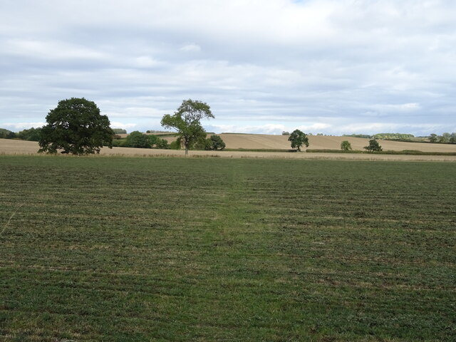
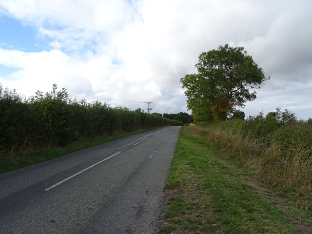
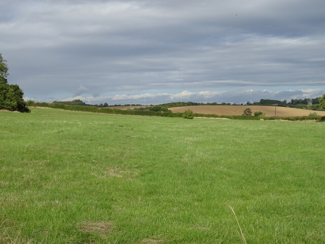
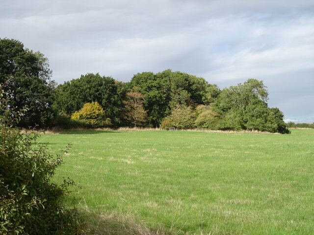
Old Images
Images are sourced within 2km of 52.350413/-0.846952 or Grid Reference SP7873. Thanks to Geograph Open Source API. All images are credited.


Old is located at Grid Ref: SP7873 (Lat: 52.350413, Lng: -0.846952)
Unitary Authority: West Northamptonshire
Police Authority: Northamptonshire
What 3 Words
///moisture.available.paintings. Near Brixworth, Northamptonshire
Nearby Locations
Related Wikis

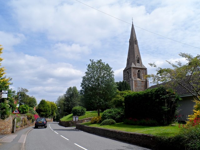
St Andrew's Church, Old, Northamptonshire
St Andrew's Church is an Anglican church and the parish church of Old, Northamptonshire. It is a Grade I listed building and stands at Church Lane, on...
Old, Northamptonshire
Old (previously Wold and before that Wolde) is a village and civil parish in West Northamptonshire, England. At the time of the 2001 census, the parish...

Walgrave
Walgrave is a village and civil parish in West Northamptonshire, England. At the time of the 2001 census, the parish's population was 822 people, increasing...

Faxton
Faxton is an abandoned village and chapelry in the county of Northamptonshire in England. Nearby are the villages of Old, Lamport and Mawsley and the Northampton...
Scaldwell
Scaldwell is a village and civil parish in the West, Northamptonshire, England. The village's name means 'spring/stream which is shallow'.Scaldwell is...

Lamport Hall
Lamport Hall in Lamport, Northamptonshire is a fine example of a Grade I Listed House. It was developed from a Tudor Manor but is now notable for its classical...

Church of All Saints, Lamport
The Church of All Saints is the Church of England parish church of Lamport, Northamptonshire. It is a Grade I listed building and stands on the north side...
Thorpe Malsor
Thorpe Malsor is a village and civil parish 2 miles (3 km) west of Kettering, Northamptonshire, England. The population at the 2011 Census was 145. �...
Nearby Amenities
Located within 500m of 52.350413,-0.846952Have you been to Old?
Leave your review of Old below (or comments, questions and feedback).