Home Plantation
Wood, Forest in Northamptonshire
England
Home Plantation
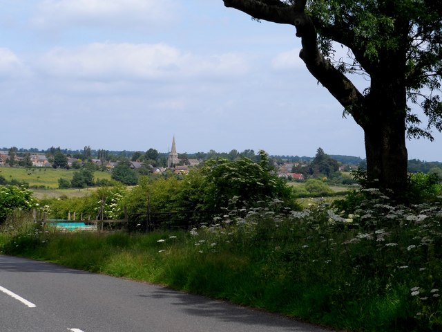
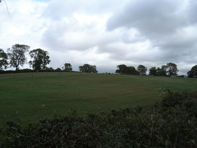
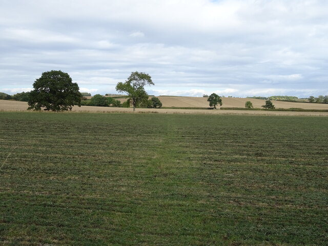
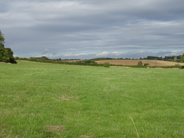
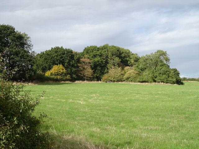
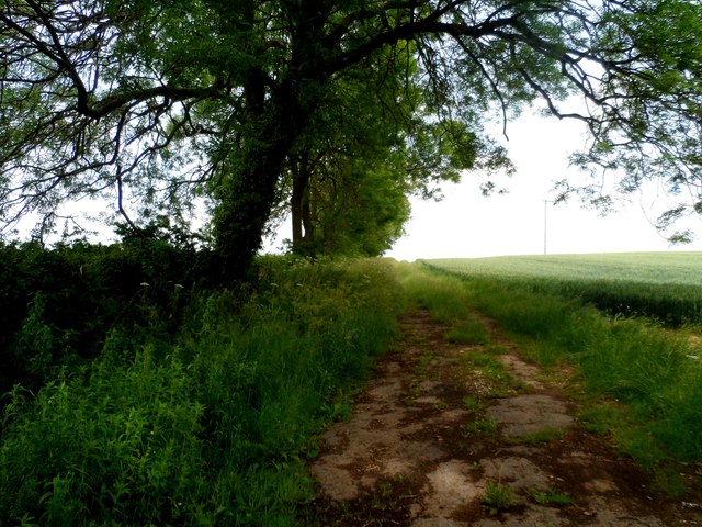
Home Plantation is a picturesque woodland located in Northamptonshire, England. Covering an area of approximately 100 acres, it is a thriving natural habitat that offers a tranquil escape for nature enthusiasts and outdoor lovers alike.
The plantation is predominantly made up of a variety of deciduous trees, including oak, beech, and ash, creating a diverse and vibrant ecosystem. The dense canopy provides shelter for an array of wildlife, from squirrels and birds to deer and foxes. Walking through the plantation, visitors can enjoy the soothing sounds of birdsong and the rustling of leaves underfoot.
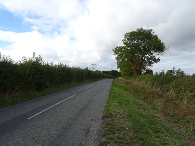
The woodland is crisscrossed by several well-maintained footpaths, allowing visitors to explore its beauty at their leisure. These paths lead to hidden corners and secluded spots, perfect for picnics or simply immersing oneself in the tranquility of nature. The plantation also features a small stream that meanders through its heart, adding to its charm and providing a water source for the resident wildlife.
Home Plantation is a popular destination for nature walks, birdwatching, and photography. It offers a peaceful respite from the hustle and bustle of everyday life, providing a place to unwind and reconnect with nature. It is open to the public throughout the year and is easily accessible, making it an ideal location for nature lovers of all ages and abilities.
Overall, Home Plantation in Northamptonshire is a stunning woodland retreat that showcases the beauty of the English countryside. Its diverse flora and fauna, well-maintained paths, and peaceful ambiance make it a must-visit destination for those seeking solace in nature.
If you have any feedback on the listing, please let us know in the comments section below.
Home Plantation Images
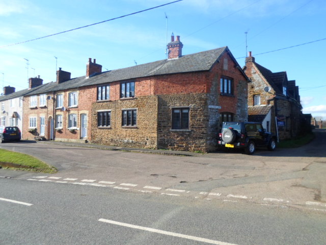
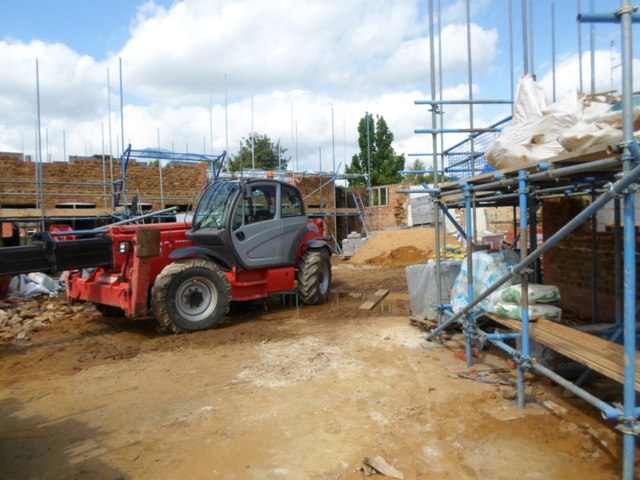
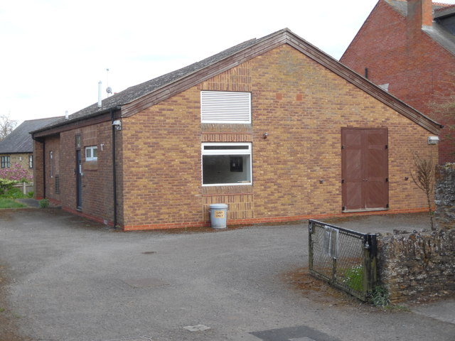
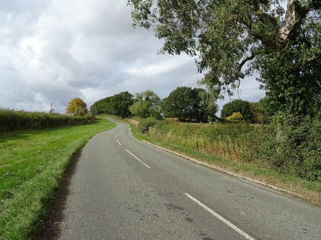
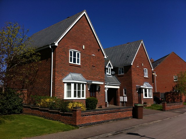
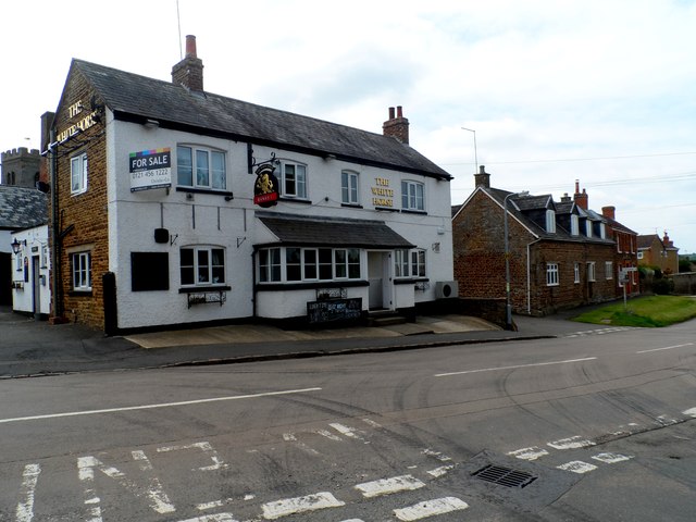
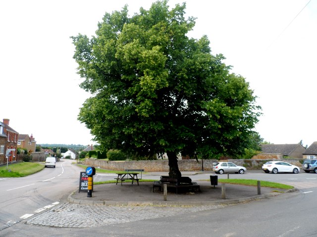
Images are sourced within 2km of 52.353785/-0.84348384 or Grid Reference SP7873. Thanks to Geograph Open Source API. All images are credited.
Home Plantation is located at Grid Ref: SP7873 (Lat: 52.353785, Lng: -0.84348384)
Unitary Authority: West Northamptonshire
Police Authority: Northamptonshire
What 3 Words
///inherits.defeat.guidebook. Near Brixworth, Northamptonshire
Nearby Locations
Related Wikis
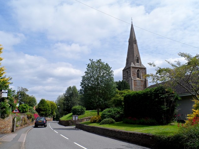
Old, Northamptonshire
Old (previously Wold and before that Wolde) is a village and civil parish in West Northamptonshire, England. At the time of the 2001 census, the parish...

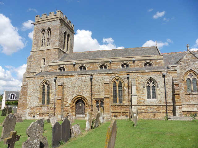
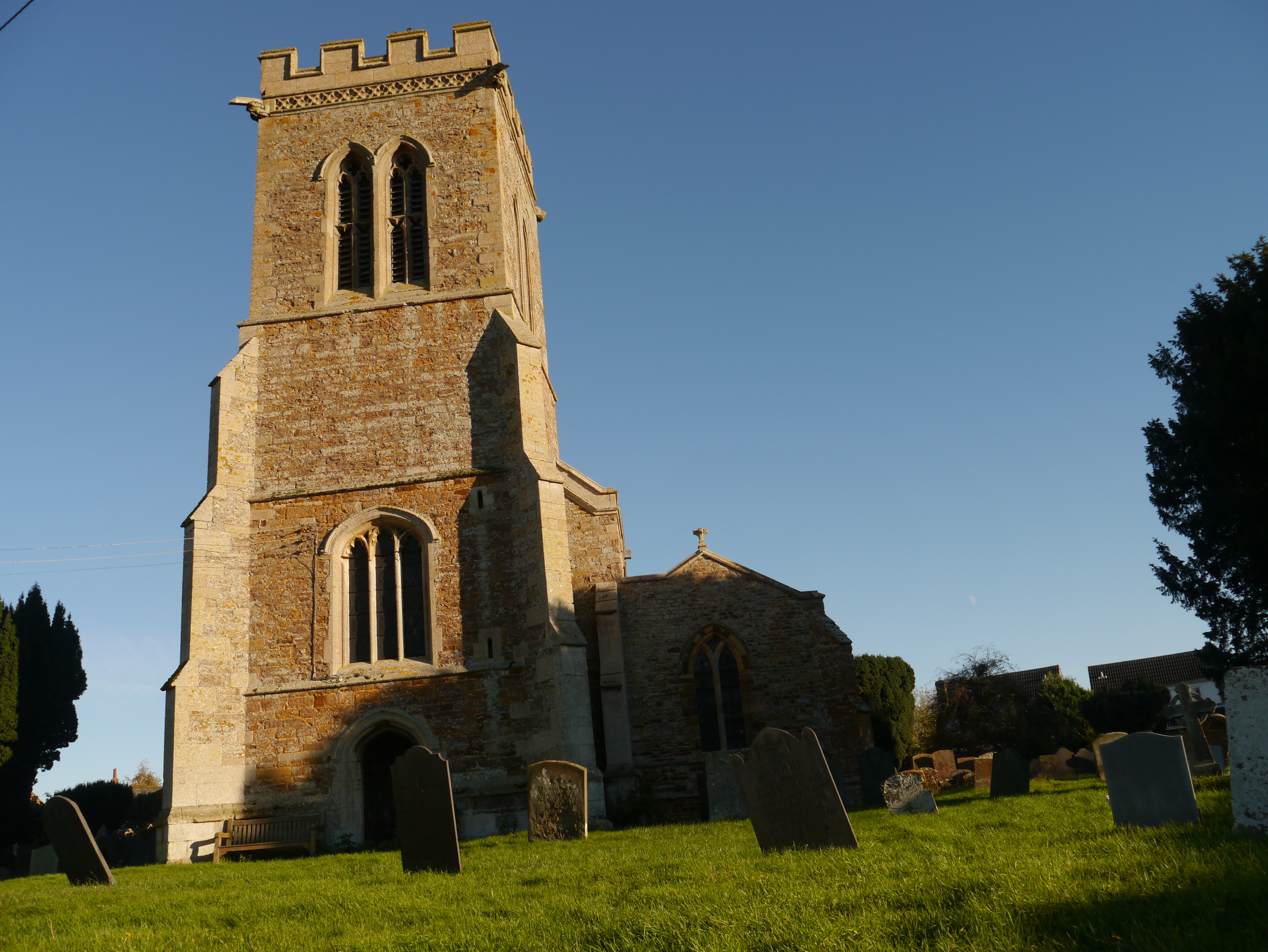
St Andrew's Church, Old, Northamptonshire
St Andrew's Church is an Anglican church and the parish church of Old, Northamptonshire. It is a Grade I listed building and stands at Church Lane, on...

Faxton
Faxton is an abandoned village and chapelry in the county of Northamptonshire in England. Nearby are the villages of Old, Lamport and Mawsley and the Northampton...

Walgrave
Walgrave is a village and civil parish in West Northamptonshire, England. At the time of the 2001 census, the parish's population was 822 people, increasing...
Nearby Amenities
Located within 500m of 52.353785,-0.84348384Have you been to Home Plantation?
Leave your review of Home Plantation below (or comments, questions and feedback).