Bickham
Settlement in Somerset Somerset West and Taunton
England
Bickham
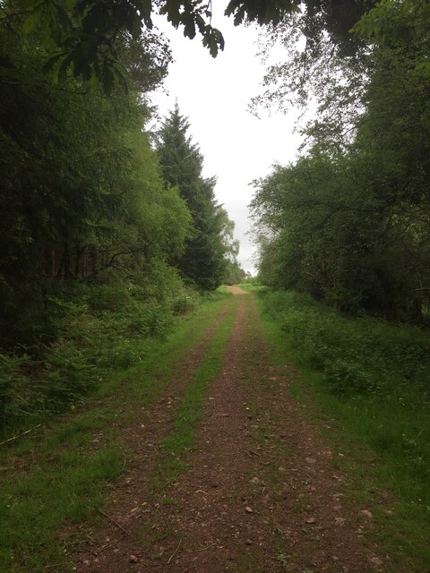
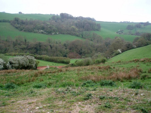
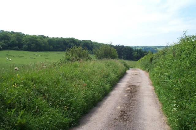
Bickham is a small village located in Somerset, England. Situated in the picturesque countryside, it lies approximately 7 miles southwest of Taunton, the county town of Somerset. The village is nestled in the Taunton Deane district and is surrounded by rolling hills, green fields, and charming farmland.
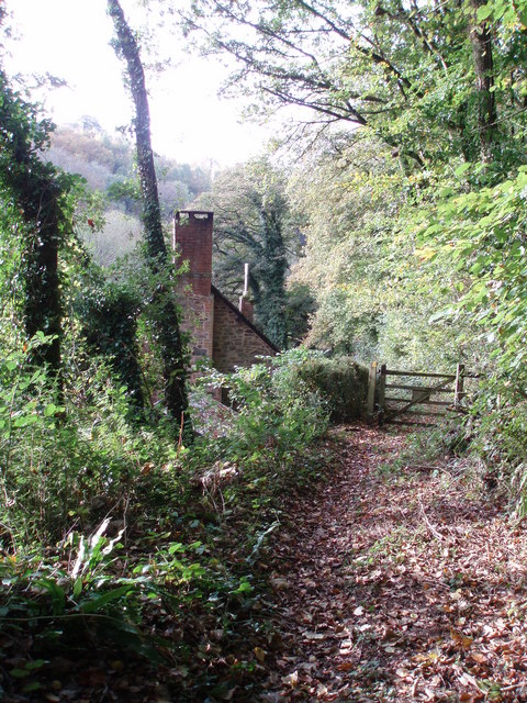
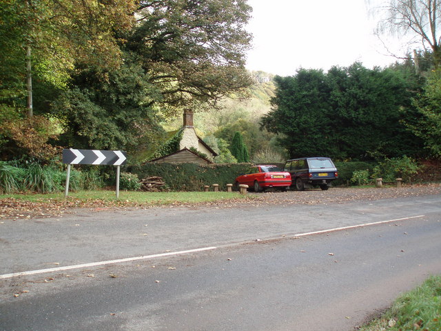
Bickham is a traditional English village with a population of around 200 residents. It boasts a tight-knit community that takes pride in preserving the area's natural beauty and heritage. The village is characterized by its quaint thatched cottages, stone houses, and well-kept gardens, giving it an idyllic and timeless feel.
The heart of the village is its historic parish church, St. Mary's, which dates back to the 13th century. The church is an architectural gem with its medieval stained glass windows and intricately carved wooden pews. It serves as a focal point for the community and hosts regular religious services, weddings, and other community events.
Despite its small size, Bickham has a strong sense of community spirit. The village organizes various events throughout the year, including a summer fete, Christmas market, and village cricket matches. These events bring together residents and visitors, fostering a sense of camaraderie and belonging.
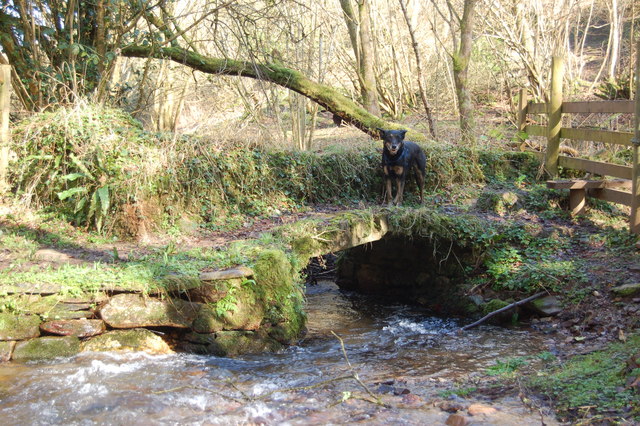
Surrounding Bickham, the Somerset countryside offers ample opportunities for outdoor activities such as hiking, cycling, and horseback riding. The village is also conveniently located for exploring nearby attractions, including the Quantock Hills Area of Outstanding Natural Beauty and the historic towns of Taunton and Bridgwater.
Overall, Bickham is a charming and tranquil village that provides a peaceful retreat for its residents and an inviting destination for visitors seeking a taste of rural English life.
If you have any feedback on the listing, please let us know in the comments section below.
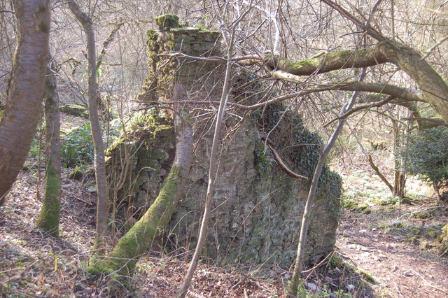
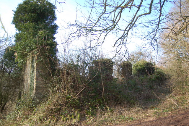
Bickham Images
Images are sourced within 2km of 51.158586/-3.5028712 or Grid Reference SS9541. Thanks to Geograph Open Source API. All images are credited.


Bickham is located at Grid Ref: SS9541 (Lat: 51.158586, Lng: -3.5028712)
Administrative County: Somerset
District: Somerset West and Taunton
Police Authority: Avon and Somerset
What 3 Words
///arise.cloud.detect. Near Minehead, Somerset
Nearby Locations
Related Wikis

Wootton Courtenay
Wootton Courtenay is a village and civil parish on Exmoor in the Somerset West and Taunton district of Somerset, England. The parish includes the hamlets...

Church of St John, Cutcombe
The Anglican Church of St John in Cutcombe, Somerset, England was built in the 13th and 14th centuries. It is a Grade II* listed building. == History... ==
Cutcombe
Cutcombe is a village and civil parish 9 miles (14 km) south of Minehead and north of Dulverton straddling the ridge between Exmoor and the Brendon Hills...

Dunster Park and Heathlands
Dunster Park and Heathlands (grid reference SS955441) is a 466.6 hectare biological Site of Special Scientific Interest in Somerset, notified in 2000....

Long Wood Enclosure
Long Wood Enclosure is an enclosure which may have been a univallate Iron Age hill fort, in the West Somerset district of Somerset, England. The hill fort...

Timberscombe
Timberscombe is a village and civil parish on the River Avill 2.5 miles (4 km) south-west of Dunster, and 5.5 miles (9 km) south of Minehead within the...

St Mary's Church, Luxborough
The Anglican St Mary's Church at Luxborough within the English county of Somerset dates from the 13th century. It is a Grade II listed building.The chancel...

Black Ball Camp
Black Ball Camp is an Iron Age hillfort South West of Dunster, Somerset, England on the northern summit of Gallox Hill. It is a Scheduled Monument.It is...
Have you been to Bickham?
Leave your review of Bickham below (or comments, questions and feedback).