Bickford
Settlement in Staffordshire South Staffordshire
England
Bickford
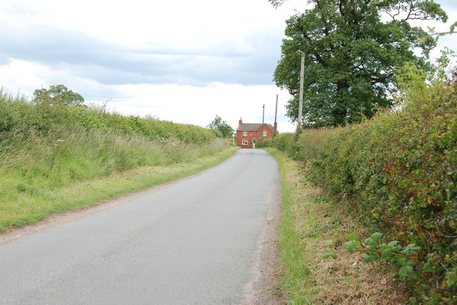
Bickford is a small village located in the county of Staffordshire, England. Nestled in the heart of the West Midlands, it is situated approximately 10 miles northeast of the city of Stafford. With a population of around 500 residents, Bickford is characterized by its peaceful and rural setting, making it a charming destination for those seeking a tranquil escape from city life.
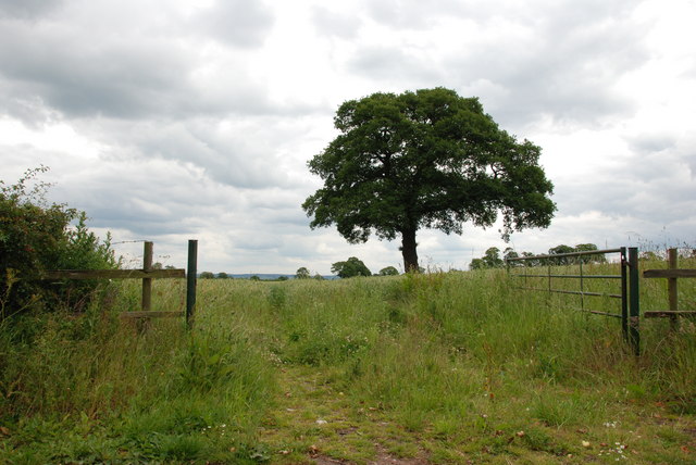
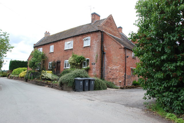
The village is known for its picturesque landscapes, surrounded by rolling hills and lush green fields. The local architecture predominantly consists of traditional stone cottages and farmhouses, adding to the village's quaint and timeless appeal. The nearby Bickford Forest, a small woodland area, provides a popular spot for leisurely walks and nature enthusiasts.
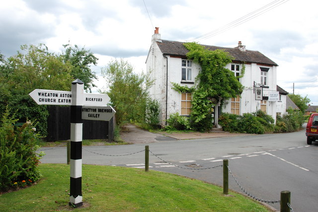
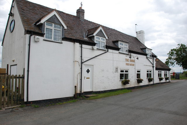
While Bickford may be small in size, it boasts a strong sense of community. The village is home to a local pub, The Bickford Arms, which serves as a popular gathering place for residents and visitors alike. Additionally, the village holds annual events such as a summer fete and a Christmas market, fostering a sense of togetherness among its inhabitants.
Despite its rural location, Bickford benefits from its proximity to nearby towns, providing residents with access to essential amenities and services. The village is well-connected by road, with the A518 and A51 highways providing convenient links to surrounding areas.
Overall, Bickford offers a peaceful and idyllic setting for those seeking a slower pace of life while still enjoying convenient access to nearby amenities and attractions.
If you have any feedback on the listing, please let us know in the comments section below.
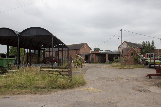
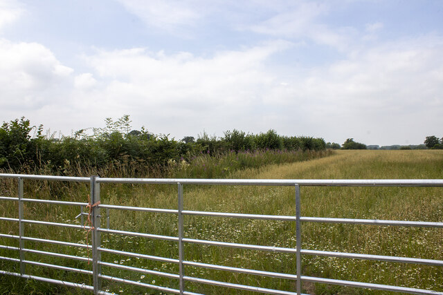
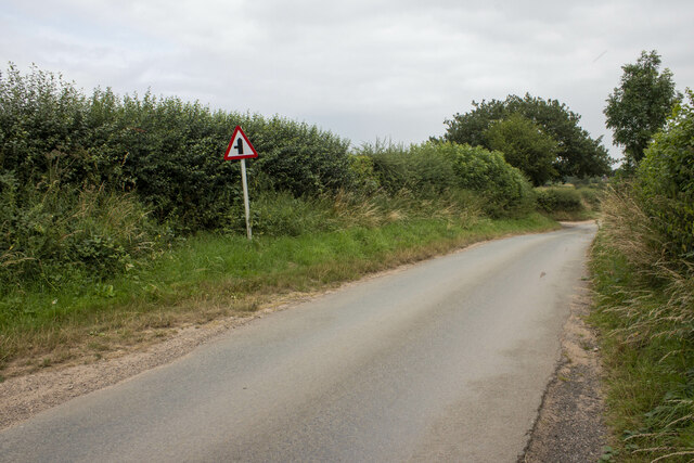
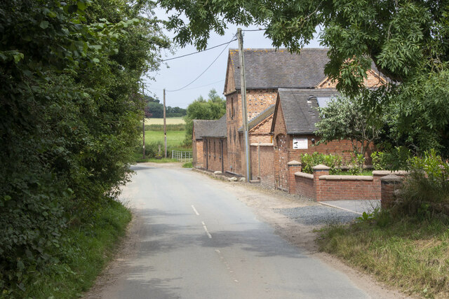
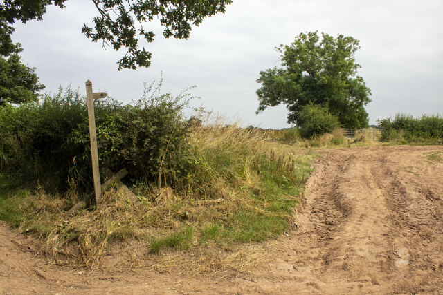
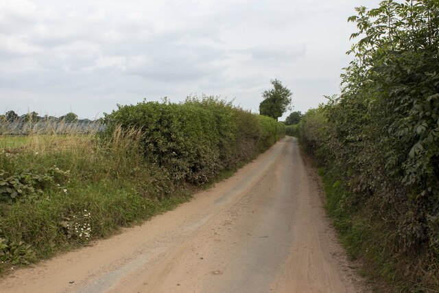
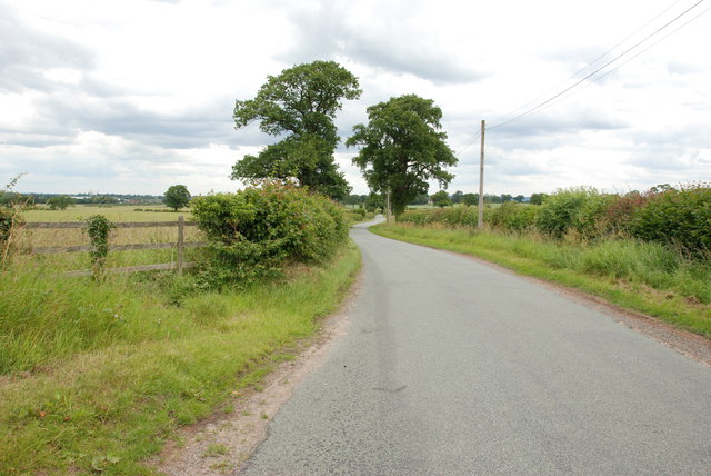
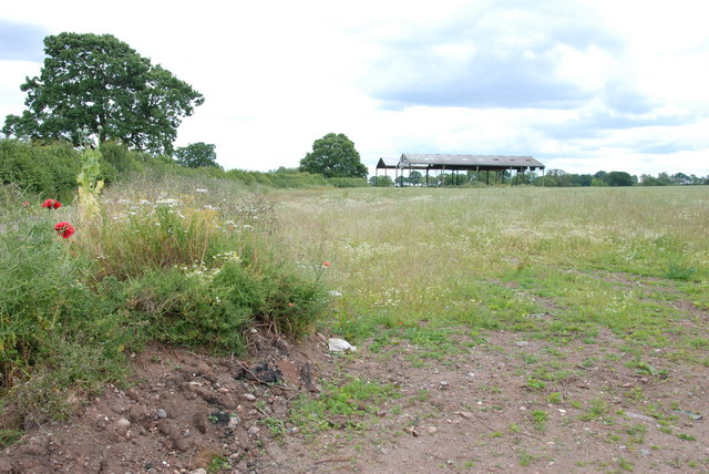
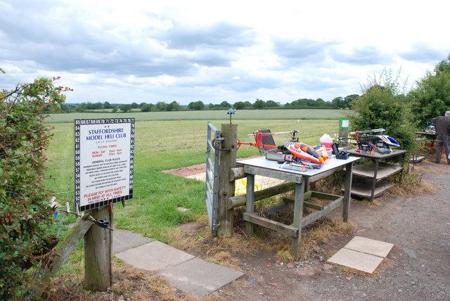
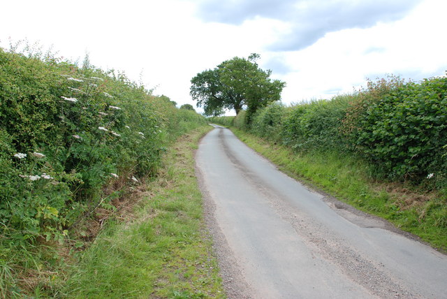
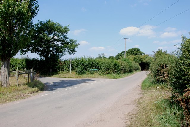
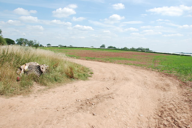
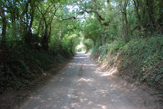
Bickford Images
Images are sourced within 2km of 52.726829/-2.169512 or Grid Reference SJ8814. Thanks to Geograph Open Source API. All images are credited.
Bickford is located at Grid Ref: SJ8814 (Lat: 52.726829, Lng: -2.169512)
Administrative County: Staffordshire
District: South Staffordshire
Police Authority: West Mercia
What 3 Words
///worlds.trip.befitting. Near Penkridge, Staffordshire
Nearby Locations
Related Wikis

Whiston, South Staffordshire
Whiston is a hamlet in the South Staffordshire district of Staffordshire, England. Population details taken at the 2011 census can be found under Penkridge...
Bickford
Bickford is a village in Staffordshire, England. For population details taken at the 2011 census see Penkridge == See also == Listed buildings in Penkridge...

Lapley
Lapley is a village and former civil parish, now in the parish of Lapley, Stretton and Wheaton Aston, in the South Staffordshire district, in the county...

Lapley Priory
Lapley Priory was a priory in Staffordshire, England. Founded at the very end of the Anglo-Saxon period, it was an alien priory, a satellite house of the...
Woollaston
Woollaston is a small hamlet near Bradley, Staffordshire, England, four miles northwest of Penkridge and two miles southeast of Church Eaton. It lies in...
Levedale
Levedale is a small somewhat elongated English village situated some 4 miles southwest of Stafford, 2 miles northwest of Penkridge and a mile west of Dunston...

Stretton Hall, Staffordshire
Stretton Hall is an early 18th-century mansion house at Stretton, South Staffordshire. It is the home of a branch of the Monckton family descended from...

Lapley, Stretton and Wheaton Aston
Lapley, Stretton and Wheaton Aston is a civil parish in the South Staffordshire district, in the county of Staffordshire, England. The population of the...
Nearby Amenities
Located within 500m of 52.726829,-2.169512Have you been to Bickford?
Leave your review of Bickford below (or comments, questions and feedback).