Bickerton
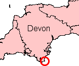
Settlement in Devon South Hams
England
Bickerton

Bickerton, Devon is a small village situated in the South Hams district of Devonshire in southwestern England. Surrounded by rolling green hills and picturesque countryside, it is located approximately five miles northeast of the market town of Kingsbridge and 20 miles south of the county town of Exeter.
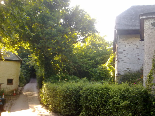
The village itself is characterized by its quaint and traditional English charm, with a scattering of stone cottages and well-manicured gardens. Bickerton is known for its close-knit community, where residents enjoy a peaceful and idyllic rural lifestyle.
The village is home to a small primary school, providing education for local children, while the nearest secondary school can be found in Kingsbridge. There are also a number of amenities in the area, including a local pub, a village hall, and a church.
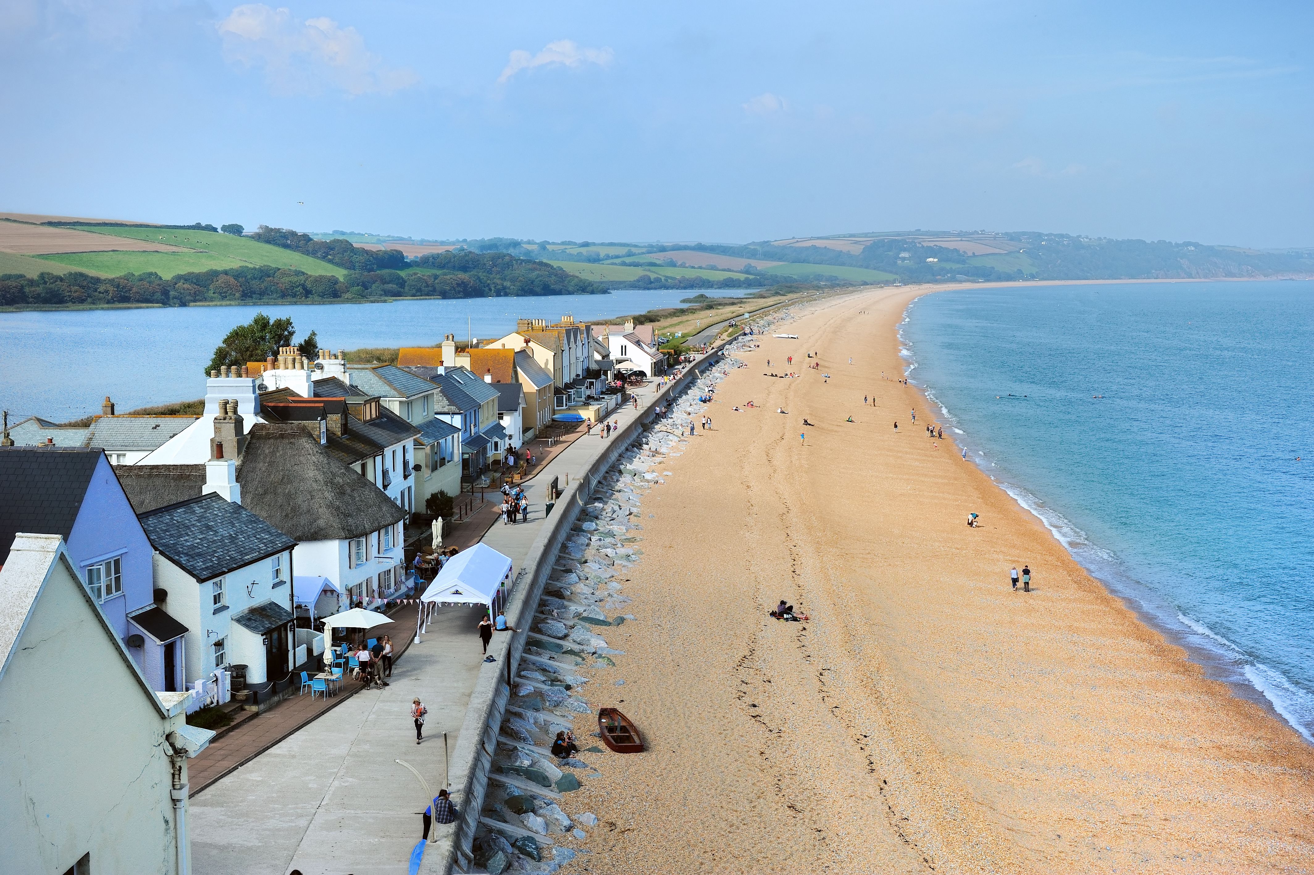
The surrounding area offers ample opportunities for outdoor enthusiasts, with numerous walking trails and scenic routes. Bickerton is also within close proximity to the beautiful South Devon coastline, with its stunning beaches and coastal towns such as Salcombe and Dartmouth just a short drive away.
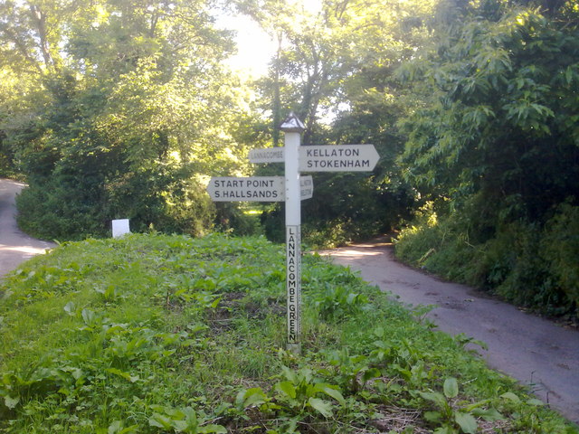
Transport links in Bickerton are limited, with the village primarily accessible by car. However, there are regular bus services connecting the village to nearby towns and the wider Devon area.
Overall, Bickerton, Devon is a charming and peaceful village, ideal for those seeking a tranquil countryside retreat while still being within reach of amenities and the stunning coastal scenery for which the region is renowned.
If you have any feedback on the listing, please let us know in the comments section below.
Bickerton Images
Images are sourced within 2km of 50.238533/-3.665218 or Grid Reference SX8138. Thanks to Geograph Open Source API. All images are credited.


Bickerton is located at Grid Ref: SX8138 (Lat: 50.238533, Lng: -3.665218)
Administrative County: Devon
District: South Hams
Police Authority: Devon and Cornwall
What 3 Words
///proposals.jiggle.storybook. Near Salcombe, Devon
Nearby Locations
Related Wikis
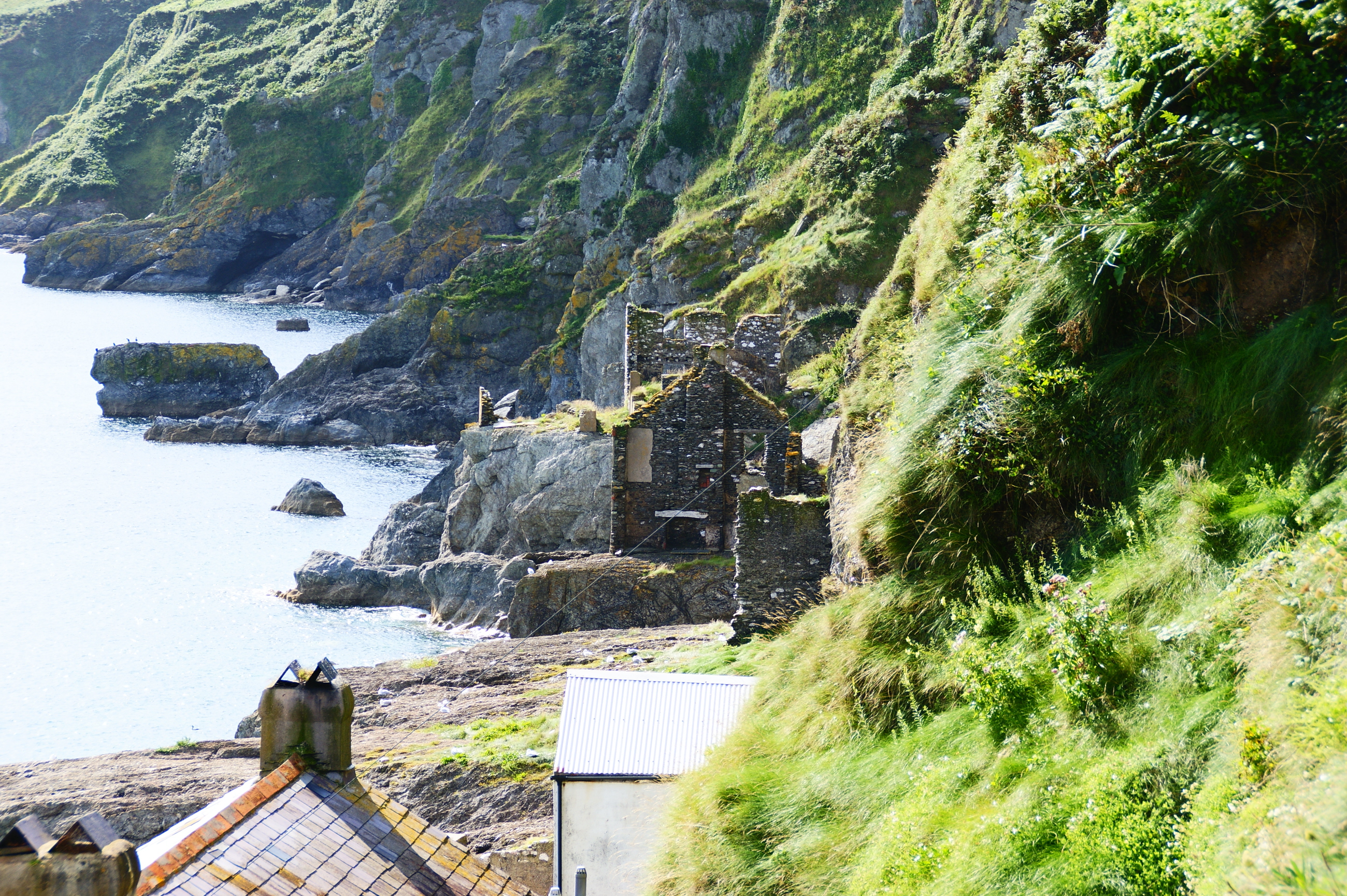
Hallsands
Hallsands is a village and beach in south Devon, England, in a precarious position between cliffs and the sea, between Beesands to the north and Start...
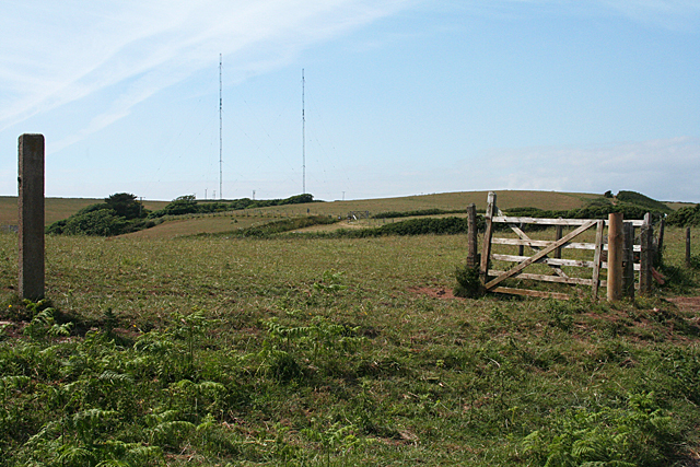
Start Point transmitting station
The Start Point transmitting station is a broadcasting facility at Start Point, Devon, owned by Arqiva. The site is just north-west of the Start Point...

Beesands
Beesands is a small settlement located midway between Hallsands and Torcross on the coast of Start Bay in South Devon, England. It is best known as a tourist...

Start Point, Devon
Start Point is a promontory in the South Hams district in Devon, England, grid reference SX832370. Close to the most southerly point in the county, it...

Chivelstone
Chivelstone is a village and civil parish in Devon, England. The parish contains the villages of East Prawle and South Allington as well as the hamlets...

Ford, Chivelstone
Ford is a hamlet about 6 miles from Stoke Fleming, in the civil parish of Chivelstone, in the South Hams district, in the county of Devon, England. Ford...
Torcross
Torcross is a seaside village in the South Hams district of south Devon in England. It stands at grid reference SX822420 at the southern end of Slapton...
Stokenham
Stokenham () is a village and civil parish in the English county of Devon. The population of the parish at the 2011 census was 1,895. == Places in the... ==
Nearby Amenities
Located within 500m of 50.238533,-3.665218Have you been to Bickerton?
Leave your review of Bickerton below (or comments, questions and feedback).