Hall Sands
Beach in Devon South Hams
England
Hall Sands

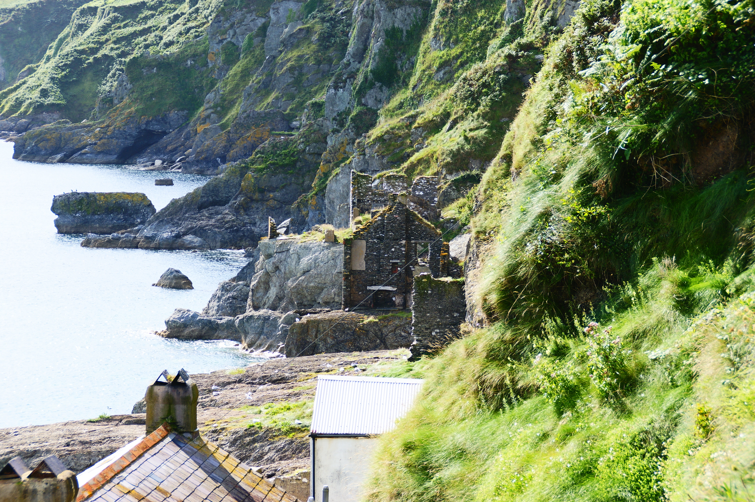
Hall Sands is a picturesque shingle beach located in South Devon, England. This secluded beach is surrounded by rolling hills and offers stunning views of the English Channel. The beach is relatively small, with a gentle slope into the water, making it a popular spot for families and swimmers.
Hall Sands is known for its peaceful and tranquil atmosphere, perfect for those looking to escape the crowds of more popular beaches. The beach is accessed via a narrow road that winds through the countryside, adding to its secluded feel.
Visitors to Hall Sands can enjoy swimming, sunbathing, and picnicking on the shingle shoreline. The beach is also a great spot for birdwatching, with a variety of seabirds often spotted along the coast.
While Hall Sands does not have any facilities such as toilets or cafes, its unspoiled beauty and quiet charm make it a hidden gem for those looking to enjoy a peaceful day by the sea. It is recommended to bring supplies and be prepared for a short walk to access the beach from the parking area.
If you have any feedback on the listing, please let us know in the comments section below.
Hall Sands Images
Images are sourced within 2km of 50.232613/-3.657747 or Grid Reference SX8138. Thanks to Geograph Open Source API. All images are credited.


Hall Sands is located at Grid Ref: SX8138 (Lat: 50.232613, Lng: -3.657747)
Administrative County: Devon
District: South Hams
Police Authority: Devon and Cornwall
What 3 Words
///regal.seaside.springing. Near Salcombe, Devon
Nearby Locations
Related Wikis
Hallsands
Hallsands is a village and beach in south Devon, England, in a precarious position between cliffs and the sea, between Beesands to the north and Start...
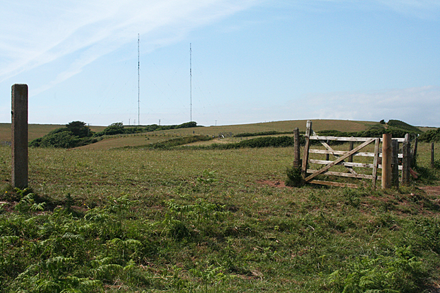
Start Point transmitting station
The Start Point transmitting station is a broadcasting facility at Start Point, Devon, owned by Arqiva. The site is just north-west of the Start Point...

Start Point, Devon
Start Point is a promontory in the South Hams district in Devon, England, grid reference SX832370. Close to the most southerly point in the county, it...

Beesands
Beesands is a small settlement located midway between Hallsands and Torcross on the coast of Start Bay in South Devon, England. It is best known as a tourist...
Nearby Amenities
Located within 500m of 50.232613,-3.657747Have you been to Hall Sands?
Leave your review of Hall Sands below (or comments, questions and feedback).