Timberscombe

Civil Parish in Somerset Somerset West and Taunton

England

Timberscombe

Ordnance Survey Cut Mark This OS cut mark can be found on the wall of Huntsham. It marks a point 72.713m above mean sea level.
Ordnance Survey Cut Mark Credit: Adrian Dust

Timberscombe is a civil parish located in the county of Somerset, England. Situated within the Exmoor National Park, the parish covers an area of approximately 4.5 square miles (11.7 square kilometers) and is nestled among picturesque rolling hills and charming countryside.

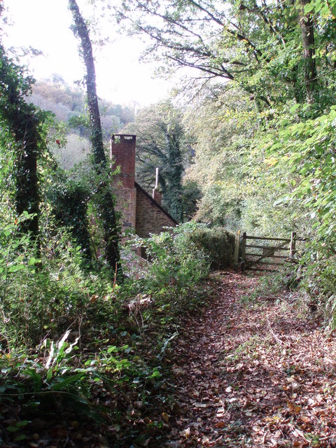
The village of Timberscombe itself lies on the eastern edge of Exmoor, about 6 miles (9.7 kilometers) southwest of the town of Minehead. It is a small, close-knit community with a population of around 400 residents. The village is known for its quaint, traditional architecture, including historic thatched cottages and stone-built houses.

Timberscombe is rich in natural beauty and offers stunning views of the surrounding landscape. The parish is home to several areas of interest for outdoor enthusiasts, including the Exmoor Forest, a diverse woodland area that is perfect for walking, cycling, and wildlife spotting. Additionally, the River Avill runs through the village, providing opportunities for fishing and picnicking along its banks.

Within the village, there are a few amenities for residents and visitors, including a village hall, a primary school, a church, and a pub. The community is also known for its strong sense of community spirit, with various events and activities organized throughout the year, such as the annual village fete.

Overall, Timberscombe offers a peaceful and idyllic setting for those seeking a rural retreat within the stunning landscape of Exmoor National Park.

If you have any feedback on the listing, please let us know in the comments section below.
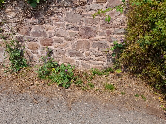
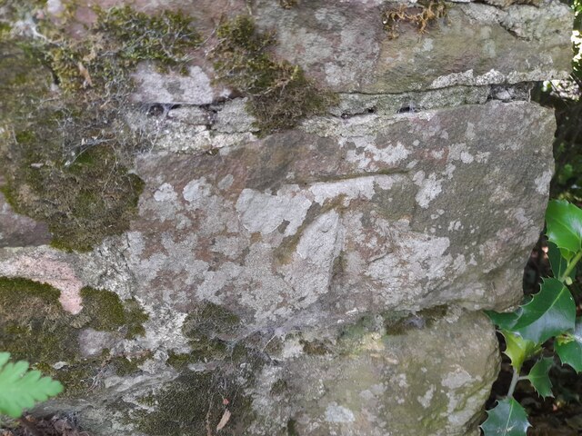
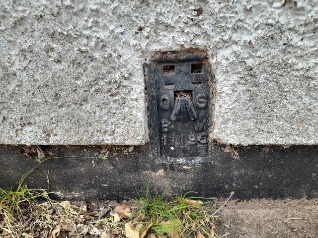
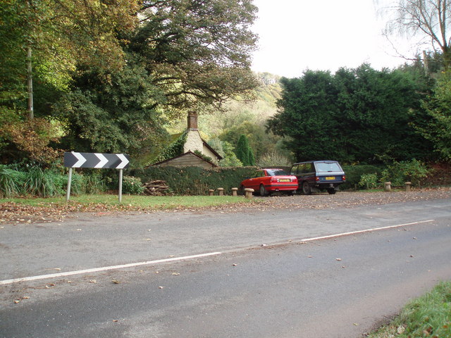
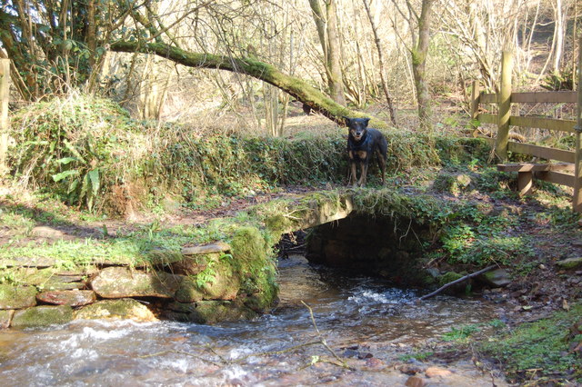
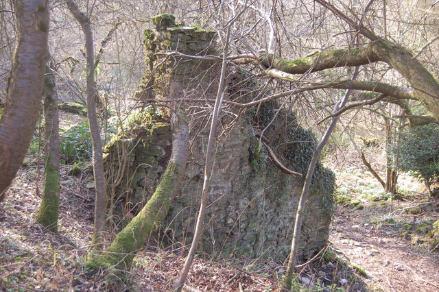
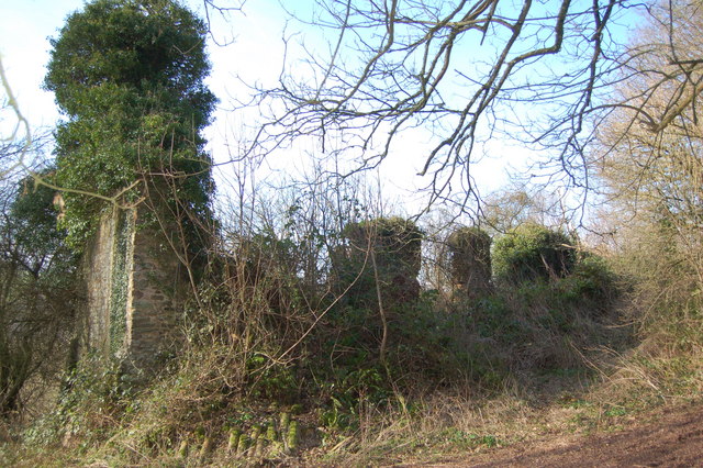
Timberscombe Images

Images are sourced within 2km of 51.161416/-3.501025 or Grid Reference SS9541. Thanks to Geograph Open Source API. All images are credited.

Ordnance Survey Cut Mark This OS cut mark can be found on the wall of Huntsham. It marks a point 72.713m above mean sea level.
Ordnance Survey Cut Mark
This OS cut mark can be found on the wall of Huntsham. It marks a point 72.713m above mean sea level.
Ordnance Survey Cut Mark This OS cut mark can be found on the east parapet of Cow Bridge. It marks a point 62.410m above mean sea level.
Ordnance Survey Cut Mark
This OS cut mark can be found on the east parapet of Cow Bridge. It marks a point 62.410m above mean sea level.
Ordnance Survey Flush Bracket (11195) This OS Flush Bracket can be found on the NE angle of the school house. It marks a point 77.073m above mean sea level.
Ordnance Survey Flush Bracket (11195)
This OS Flush Bracket can be found on the NE angle of the school house. It marks a point 77.073m above mean sea level.
Ordnance Survey Cut Mark This OS cut mark can be found on the SW angle of St Petrock's Church. It marks a point 81.800m above mean sea level.
Ordnance Survey Cut Mark
This OS cut mark can be found on the SW angle of St Petrock's Church. It marks a point 81.800m above mean sea level.
Sully Sully consists of one cottage. Photo taken from the footpath in the woods behind the cottage.
Sully
Sully consists of one cottage. Photo taken from the footpath in the woods behind the cottage.
Sully, on the A396 near Wheddon Cross. The one and only dwelling in Sully.
Sully, on the A396 near Wheddon Cross.
The one and only dwelling in Sully.
The foot bridge to Clicket Clicket was once a lively village but is no longer shown on the map.
The foot bridge to Clicket
Clicket was once a lively village but is no longer shown on the map.
Remains of a cottage in Clicket village The village was finally abandoned about 100 years ago but shapes of buildings are still obvious. The Exmoor wind, weather and vegetation have reduced many to lines of moss covered stones. All roof structures have disappeared.
Remains of a cottage in Clicket village
The village was finally abandoned about 100 years ago but shapes of buildings are still obvious. The Exmoor wind, weather and vegetation have reduced many to lines of moss covered stones. All roof structures have disappeared.
Ivy covered remains of Thorn Farm, Clicket The remains of the long lost village of Clicket hide in the secret heart of the hills between Timberscombe and Luxborough
Ivy covered remains of Thorn Farm, Clicket
The remains of the long lost village of Clicket hide in the secret heart of the hills between Timberscombe and Luxborough
South Cleeve Grove Looking across the valley from Croydon Hill.
South Cleeve Grove
Looking across the valley from Croydon Hill.
A hop over the stile and then the stream Fortunately the stream is spanned by a small stone bridge.
A hop over the stile and then the stream
Fortunately the stream is spanned by a small stone bridge.
The creeping shadows Clear February sunshine on Exmoor slowly withdrawing from the valleys.
The creeping shadows
Clear February sunshine on Exmoor slowly withdrawing from the valleys.
Stone bridge An Exmoor stream with a stone bridge for travellers.
Stone bridge
An Exmoor stream with a stone bridge for travellers.
Uphill to the top A muddy track leads over the hill to South Cleeve Grove.
Uphill to the top
A muddy track leads over the hill to South Cleeve Grove.
Bears in the wood These bears are made of foam. They also have lots of arrow holes in them.
Bears in the wood
These bears are made of foam. They also have lots of arrow holes in them.
Fresh from the spring A small stream, running briskly, from a spring not far away.  This part of Exmoor has plenty of these issues.
Fresh from the spring
A small stream, running briskly, from a spring not far away. This part of Exmoor has plenty of these issues.
Following the stream valley A footpath leading by the stream, on to Bougam Farm and then onto Timberscombe.
Following the stream valley
A footpath leading by the stream, on to Bougam Farm and then onto Timberscombe.
Clearing the timber Some forestry work in the Timberscombe region.
Clearing the timber
Some forestry work in the Timberscombe region.
Show me another place!

Timberscombe is located at Grid Ref: SS9541 (Lat: 51.161416, Lng: -3.501025)

Administrative County: Somerset

District: Somerset West and Taunton

Police Authority: Avon and Somerset

What 3 Words

///broached.lottery.studio. Near Minehead, Somerset

Related Wikis

Wootton Courtenay

Wootton Courtenay is a village and civil parish on Exmoor in the Somerset West and Taunton district of Somerset, England. The parish includes the hamlets...

Dunster Park and Heathlands

Dunster Park and Heathlands (grid reference SS955441) is a 466.6 hectare biological Site of Special Scientific Interest in Somerset, notified in 2000....

Church of St John, Cutcombe

The Anglican Church of St John in Cutcombe, Somerset, England was built in the 13th and 14th centuries. It is a Grade II* listed building. == History... ==

Cutcombe

Cutcombe is a village and civil parish 9 miles (14 km) south of Minehead and north of Dulverton straddling the ridge between Exmoor and the Brendon Hills...

Nearby Amenities

Located within 500m of 51.161416,-3.501025
Bickham Farm
Place: isolated_dwelling
Lat/Long: 51.1656293/-3.5011879
The data included in this document is from www.openstreetmap.org. The data is made available under ODbL.

Have you been to Timberscombe?

Leave your review of Timberscombe below (or comments, questions and feedback).