Bickenhall
Settlement in Somerset Somerset West and Taunton
England
Bickenhall

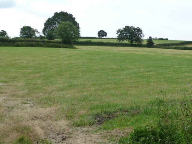
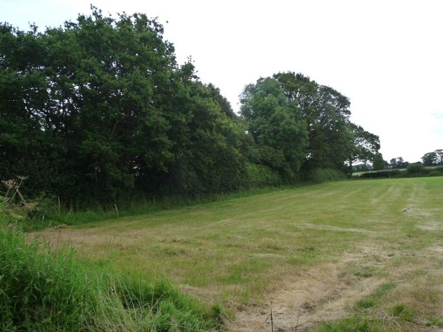
Bickenhall is a small village located in the county of Somerset, England. It lies approximately 6 miles south of the town of Taunton and is situated in a picturesque rural setting, surrounded by beautiful countryside and farmland. The village is part of the civil parish of King's Brompton and benefits from its tranquil and idyllic location.
Historically, Bickenhall was mentioned in the Domesday Book of 1086 and has a rich heritage that is still visible today. The village is characterized by a mix of traditional stone cottages and more modern houses, giving it a charming and timeless appeal. The local community is close-knit, with a strong sense of community spirit and pride in their village.
In terms of amenities, Bickenhall is relatively limited, with no shops or schools within the immediate village. However, residents have easy access to nearby towns and villages for their everyday needs. The village does boast a quaint parish church, St. Margaret's, which dates back to the 14th century and is a focal point for community gatherings and religious services.
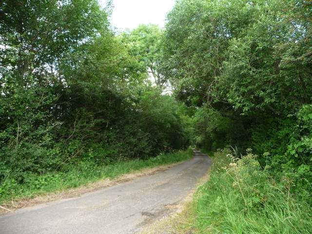
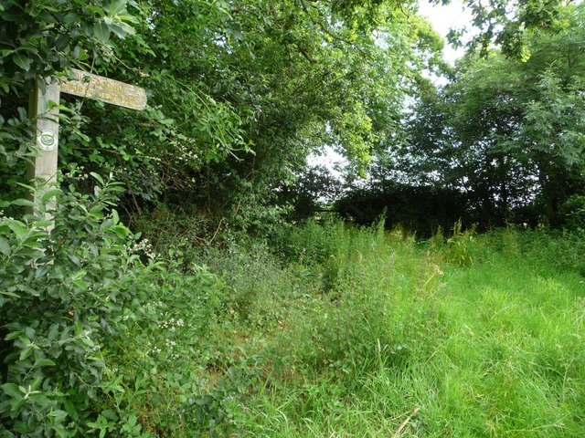
For those seeking recreational activities, Bickenhall is surrounded by stunning countryside, offering ample opportunities for walking, cycling, and exploring nature. The village is also conveniently located near the Quantock Hills, a designated Area of Outstanding Natural Beauty, providing residents with further opportunities for outdoor pursuits.
In summary, Bickenhall is a charming and peaceful village in Somerset, known for its rural beauty and strong sense of community. Its historic buildings and proximity to breathtaking countryside make it an attractive place to live for those seeking a peaceful and picturesque lifestyle.
If you have any feedback on the listing, please let us know in the comments section below.
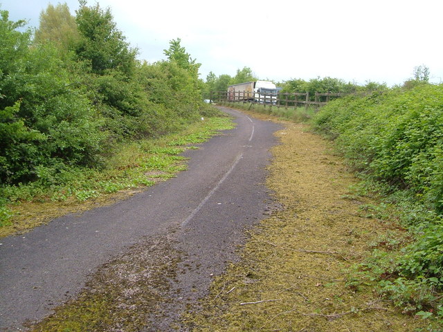
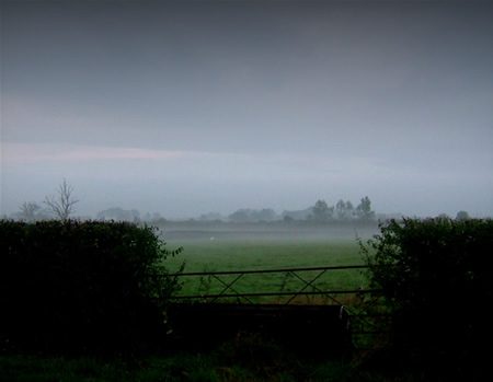
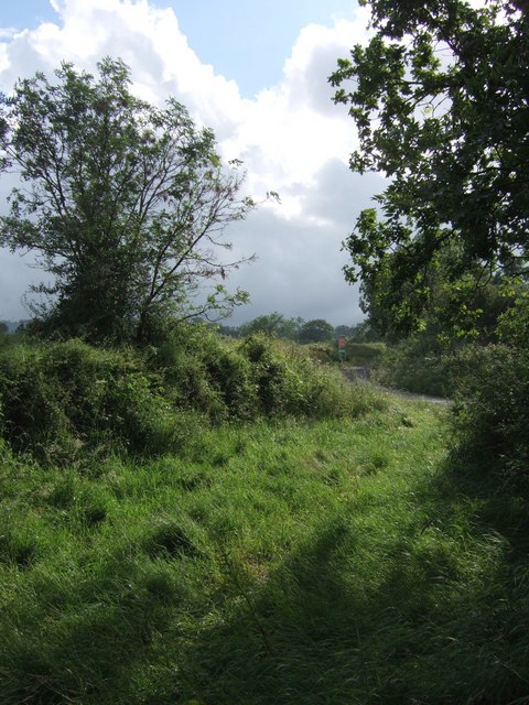
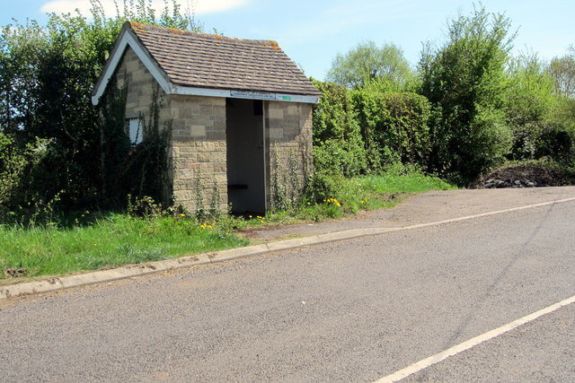
Bickenhall Images
Images are sourced within 2km of 50.966746/-3.014985 or Grid Reference ST2819. Thanks to Geograph Open Source API. All images are credited.


Bickenhall is located at Grid Ref: ST2819 (Lat: 50.966746, Lng: -3.014985)
Administrative County: Somerset
District: Somerset West and Taunton
Police Authority: Avon and Somerset
What 3 Words
///volunteered.lawns.pounds. Near Creech St Michael, Somerset
Nearby Locations
Related Wikis

Bickenhall
Bickenhall is a hamlet and parish in Somerset, England, situated 5 miles (8.0 km) south east of Taunton. The parish, which includes the hamlet of Batten...

West Hatch
West Hatch is a hamlet and civil parish in Somerset, England, situated 5 miles (8.0 km) south east of Taunton. It has a population of 306. == History... ==

Curland
Curland is a village and civil parish in Somerset, England, situated 6 miles (9.7 km) south of Taunton. The village has a population of 225. The parish...

Hatch Beauchamp
Hatch Beauchamp is a village and civil parish in Somerset, England, situated 5 miles (8.0 km) south east of Taunton. The village has a population of 620...

Barrington Hill Meadows
Barrington Hill Meadows (grid reference ST300170) is a 16.1 hectare (39.5 acre) biological Site of Special Scientific Interest in Somerset, England, notified...

William Portman Almshouses
The William Portman Almshouses in Staple Fitzpaine, Somerset, England was built in 1643. It is a Grade II* listed building. == History == The almshouses...
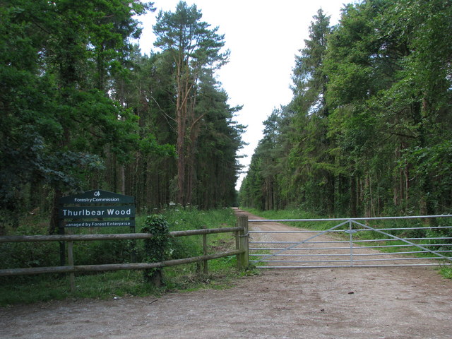
Thurlbear Wood and Quarrylands
Thurlbear Wood and Quarrylands (grid reference ST270210) is a 26.7 hectare (65.8 acre) biological Site of Special Scientific Interest south of Stoke St...

Staple Fitzpaine
Staple Fitzpaine is a village and civil parish in Somerset, England, situated 5 miles (8.0 km) south of Taunton. The village has a population of 189 and...
Nearby Amenities
Located within 500m of 50.966746,-3.014985Have you been to Bickenhall?
Leave your review of Bickenhall below (or comments, questions and feedback).