Buller's Copse
Wood, Forest in Somerset Somerset West and Taunton
England
Buller's Copse
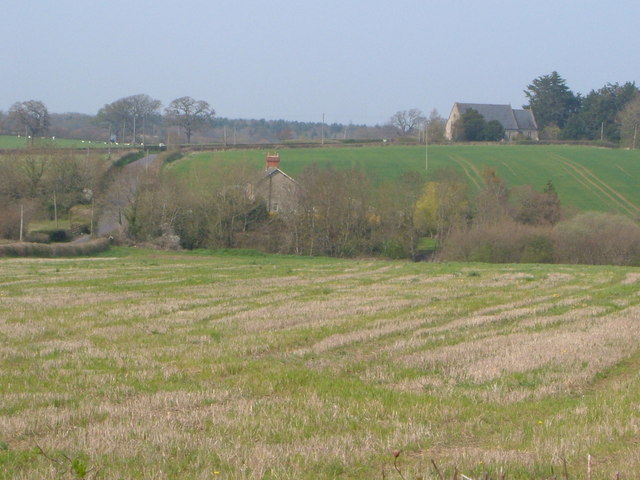
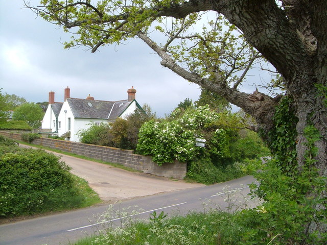
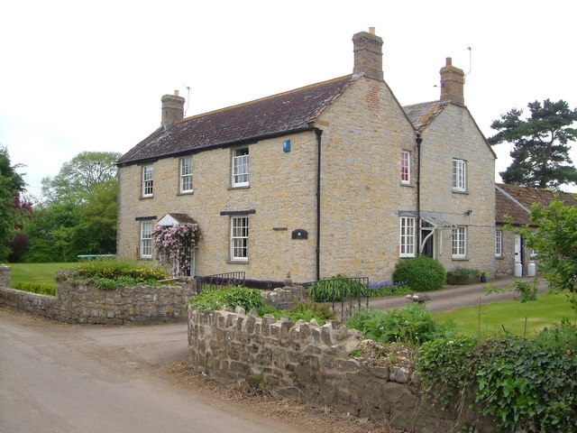
Buller's Copse is a picturesque woodland located in Somerset, England. Covering an area of approximately 20 square kilometers, it is a popular destination for nature lovers and outdoor enthusiasts. The copse is situated near the village of Buller, nestled within the rolling hills and valleys of the Somerset countryside.
The woodland is predominantly composed of deciduous trees, including oak, beech, and ash. These trees provide a stunning display of colors during the autumn months, attracting visitors from far and wide. The copse is also home to a variety of wildlife, such as deer, foxes, and numerous bird species, making it an ideal spot for birdwatching and wildlife photography.
Several well-maintained walking trails wind their way through Buller's Copse, offering visitors the opportunity to explore the beauty of the woodland at their own pace. These trails cater to all levels of fitness and provide scenic viewpoints where visitors can take in the breathtaking vistas of the surrounding countryside.
In addition to its natural beauty, Buller's Copse has historical significance. It is believed that the woodland has been in existence for hundreds of years and has experienced minimal human intervention. This has allowed the copse to develop into a rich and diverse ecosystem, with ancient trees and rare plant species.
Overall, Buller's Copse is a tranquil and enchanting destination for those seeking to immerse themselves in nature's beauty. Whether it's a leisurely walk, a picnic with family and friends, or a peaceful retreat, this woodland offers a serene escape from the hustle and bustle of everyday life.
If you have any feedback on the listing, please let us know in the comments section below.
Buller's Copse Images
Images are sourced within 2km of 50.97327/-3.0263808 or Grid Reference ST2819. Thanks to Geograph Open Source API. All images are credited.


Buller's Copse is located at Grid Ref: ST2819 (Lat: 50.97327, Lng: -3.0263808)
Administrative County: Somerset
District: Somerset West and Taunton
Police Authority: Avon and Somerset
What 3 Words
///towels.bucked.devoured. Near Creech St Michael, Somerset
Nearby Locations
Related Wikis

West Hatch
West Hatch is a hamlet and civil parish in Somerset, England, situated 5 miles (8.0 km) south east of Taunton. It has a population of 306. == History... ==

Bickenhall
Bickenhall is a hamlet and parish in Somerset, England, situated 5 miles (8.0 km) south east of Taunton. The parish, which includes the hamlet of Batten...
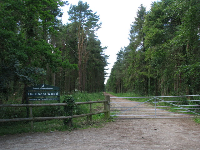
Thurlbear Wood and Quarrylands
Thurlbear Wood and Quarrylands (grid reference ST270210) is a 26.7 hectare (65.8 acre) biological Site of Special Scientific Interest south of Stoke St...

William Portman Almshouses
The William Portman Almshouses in Staple Fitzpaine, Somerset, England was built in 1643. It is a Grade II* listed building. == History == The almshouses...

Staple Fitzpaine
Staple Fitzpaine is a village and civil parish in Somerset, England, situated 5 miles (8.0 km) south of Taunton. The village has a population of 189 and...

Curland
Curland is a village and civil parish in Somerset, England, situated 6 miles (9.7 km) south of Taunton. The village has a population of 225. The parish...

Hatch Beauchamp
Hatch Beauchamp is a village and civil parish in Somerset, England, situated 5 miles (8.0 km) south east of Taunton. The village has a population of 620...
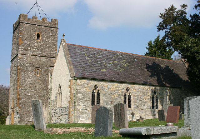
Church of St Mary, Stoke St Mary
The Anglican Church of St Mary in Stoke St Mary, Somerset, England was built in the 13th century. It is a Grade II* listed building. == History == The...
Have you been to Buller's Copse?
Leave your review of Buller's Copse below (or comments, questions and feedback).