Betws Gwerful Goch
Settlement in Merionethshire
Wales
Betws Gwerful Goch
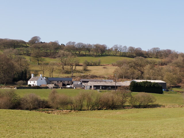
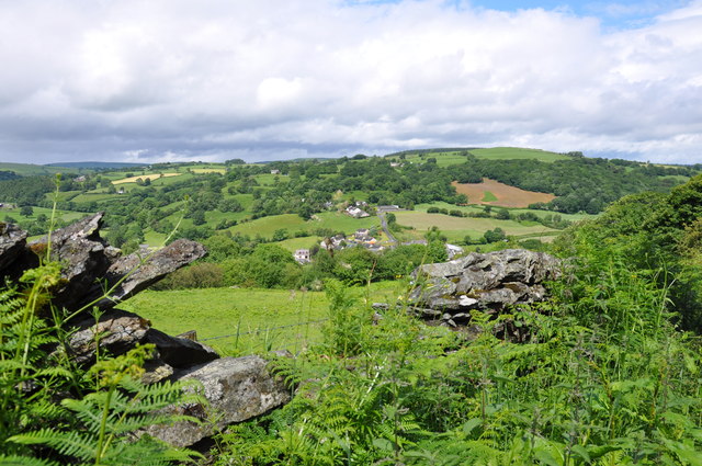
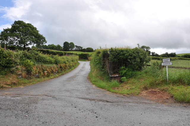
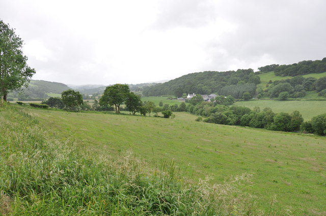
Betws Gwerful Goch is a small village located in the county of Merionethshire in Wales. It is situated in the beautiful Snowdonia National Park, surrounded by picturesque landscapes and breathtaking views. The village is nestled in the valley of the River Artro, offering a peaceful and serene atmosphere.
With a population of around 200 people, Betws Gwerful Goch is known for its close-knit community and friendly locals. The village primarily consists of traditional stone cottages, giving it a charming and rustic feel. The area is rich in history, dating back to ancient times, and is known for its Welsh heritage.
Despite its small size, Betws Gwerful Goch offers a range of amenities for both residents and visitors. There is a local pub, serving traditional Welsh food and drinks, where locals gather to socialize and unwind. The village also has a community center, which hosts various events and activities throughout the year, fostering a sense of community spirit.
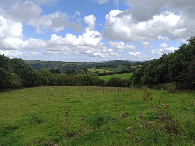
Nature enthusiasts will find plenty to explore in the surrounding area. The village is an ideal base for hikers and outdoor enthusiasts, with numerous walking trails and beautiful natural landmarks nearby. The nearby Rhinog Mountains offer stunning views and challenging hikes for those seeking adventure.
Overall, Betws Gwerful Goch is a hidden gem in the heart of the Welsh countryside. Its natural beauty, welcoming community, and rich history make it a must-visit destination for anyone seeking a peaceful and authentic Welsh experience.
If you have any feedback on the listing, please let us know in the comments section below.
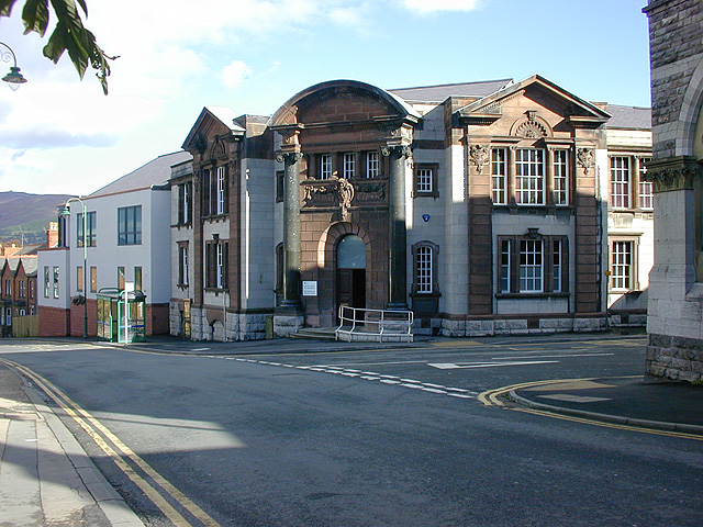
Betws Gwerful Goch Images
Images are sourced within 2km of 53.002502/-3.4469123 or Grid Reference SJ0346. Thanks to Geograph Open Source API. All images are credited.


Betws Gwerful Goch is located at Grid Ref: SJ0346 (Lat: 53.002502, Lng: -3.4469123)
Unitary Authority: Denbighshire
Police Authority: North Wales
Also known as: Betws Gwerfil Goch
What 3 Words
///ripen.singled.embers. Near Derwen, Denbighshire
Nearby Locations
Related Wikis

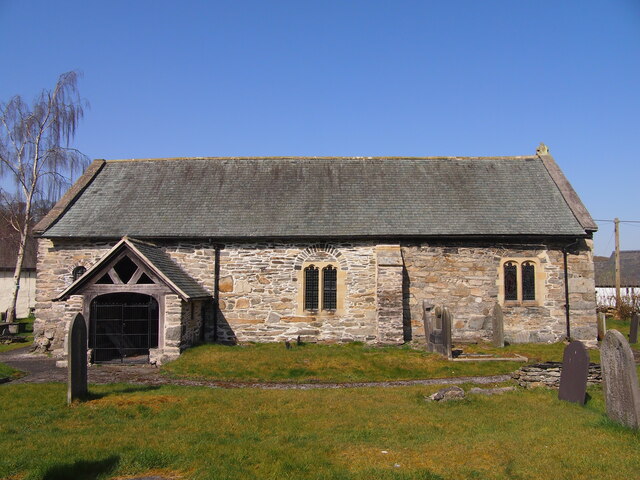
St Mary's Church, Betws Gwerful Goch
St Mary's Church, Betws Gwerful Goch, is in the village of Betws Gwerful Goch, Denbighshire, Wales. It is an active Anglican church in the deanery of...

Betws Gwerfil Goch
Betws Gwerfil Goch (Standard Welsh: Betws Gwerful Goch) is a village and community in Denbighshire, Wales. It had a population of 351 at the 2011 census...

Druid, Denbighshire
Druid (Welsh: Y Ddwyryd) is a small village in Denbighshire, Wales. The village is located where the A5 and the A494 meet, about two miles west of Corwen...

Melin-y-Wig
Melin-y-Wig is a village in Denbighshire, Wales. It is situated on the River Clwyd (Welsh: Afon Clwyd). Rising in the nearby Clocaenog Forest (grid reference...

Coedydd Dyffryn Alwen
Coedydd Dyffryn Alwen is a Site of Special Scientific Interest in the preserved county of Clwyd, north Wales. It contains a mix of different woodland types...
A494 road
The A494 is a trunk road in Wales and England. The route, which is officially known as the Dolgellau to South of Birkenhead Trunk Road, runs between the...

Glan-yr-afon, Gwynedd
Glan-yr-afon is a small village near Corwen in Gwynedd, Wales and is situated on the A494. The village is on the boundary of Gwynedd and Denbighshire....
Glyndŵr
Glyndŵr was one of six local government districts in the county of Clwyd in Wales from 1974 to 1996. == History == The district was created on 1 April...
Related Videos
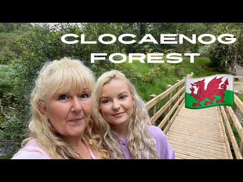
Clocaenog Forest, Wales - finding our old house
In this video, we got a little lost and then it started to rain, but the Wales countryside was so worth it, it was beautiful. We also went ...
Nearby Amenities
Located within 500m of 53.002502,-3.4469123Have you been to Betws Gwerful Goch?
Leave your review of Betws Gwerful Goch below (or comments, questions and feedback).