Betws Garmon

Settlement in Caernarfonshire

Wales

Betws Garmon

Looking S from near the summit of Moel Eilio The summits of Snowdon and Y Garn on the skyline.
Looking S from near the summit of Moel Eilio Credit: SK53

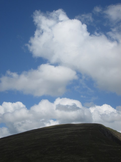
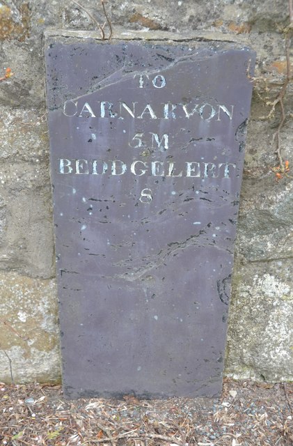
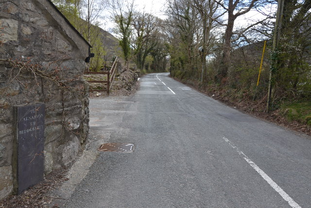
Betws Garmon is a small village located in the county of Caernarfonshire in Wales, United Kingdom. It is situated in the beautiful Snowdonia National Park, surrounded by picturesque landscapes and stunning mountain views. The village is positioned on the A4085 road, 7 miles south of the town of Caernarfon.

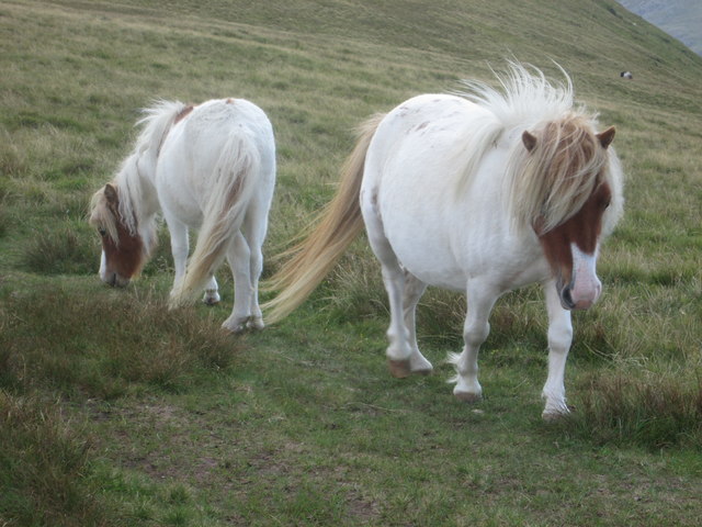
Historically, Betws Garmon has been a rural community, with agriculture and farming being the primary industries. The village is known for its charming stone cottages, which add to its traditional and quaint atmosphere. The local population is relatively small, creating a close-knit community where residents often know each other.

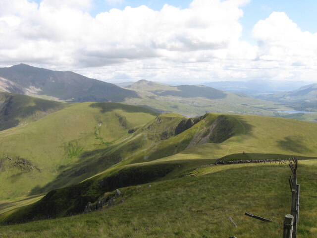
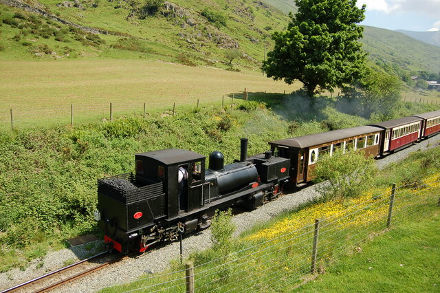
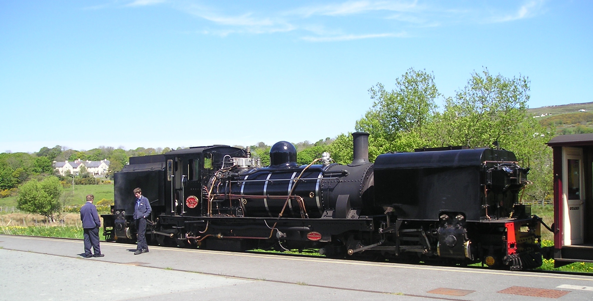
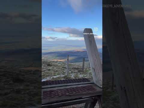
One of the notable features of Betws Garmon is its proximity to Mount Snowdon, the highest peak in Wales. The mountain attracts many outdoor enthusiasts and hikers, who use the village as a base for their expeditions. The Snowdon Mountain Railway, which takes visitors to the summit of Snowdon, also passes through Betws Garmon.

Despite its small size, the village has a few amenities to cater to locals and visitors alike. These include a community hall, a primary school, and a church. There are also a few accommodation options, such as bed and breakfasts and self-catering cottages, to cater to tourists who wish to explore the natural beauty of the surrounding area.

In conclusion, Betws Garmon is a charming village situated in the heart of Snowdonia National Park. With its stunning scenery, close proximity to Mount Snowdon, and welcoming community, it is an ideal destination for nature lovers and those seeking a peaceful retreat in the Welsh countryside.

If you have any feedback on the listing, please let us know in the comments section below.
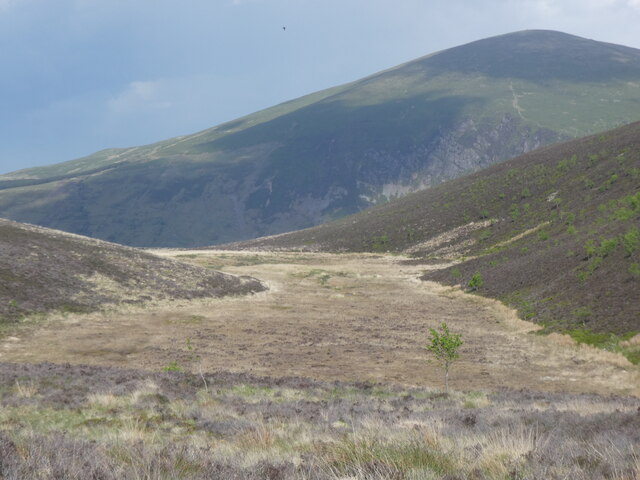
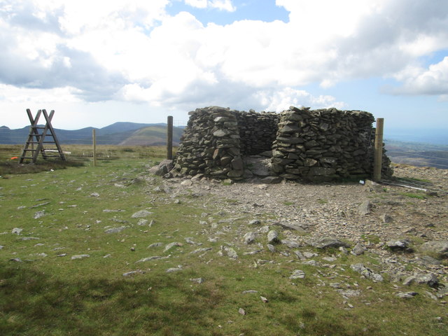
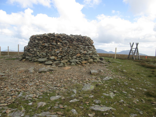
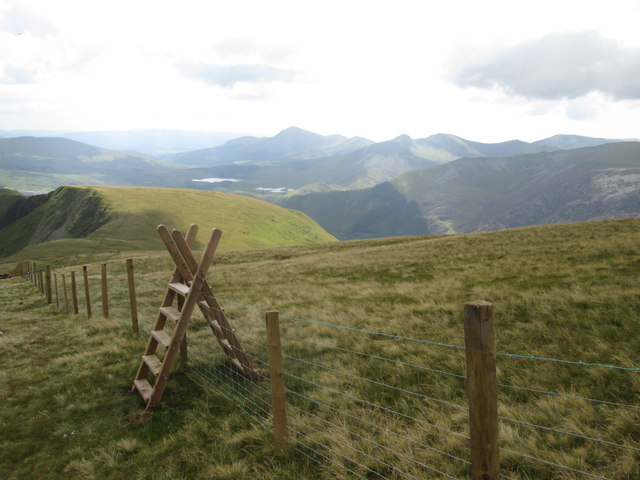
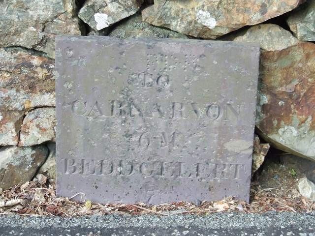
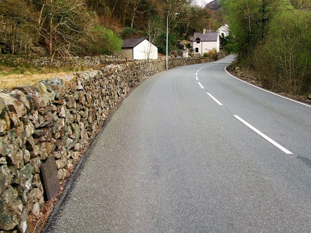
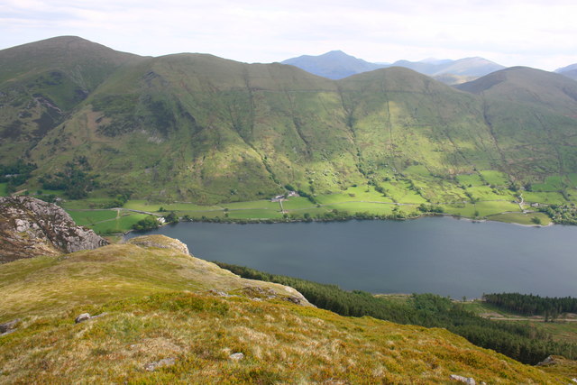
Betws Garmon Images

Images are sourced within 2km of 53.090873/-4.181823 or Grid Reference SH5357. Thanks to Geograph Open Source API. All images are credited.

Looking S from near the summit of Moel Eilio The summits of Snowdon and Y Garn on the skyline.
Looking S from near the summit of Moel Eilio
The summits of Snowdon and Y Garn on the skyline.
Welsh Highland Railway train near Betws Garmon Welsh Highland Railway Garratt locomotive No.K1 about to pass under the A4085 in Nant-y-Betws with a train from Caernarfon to Rhyd-Ddu, which was the terminus of the line at the time.
Welsh Highland Railway train near Betws Garmon
Welsh Highland Railway Garratt locomotive No.K1 about to pass under the A4085 in Nant-y-Betws with a train from Caernarfon to Rhyd-Ddu, which was the terminus of the line at the time.
A small part of Moel Eilio I would have hoped to categorise this as "Summit view", but that would leave me open to the charge of blatant dishonesty. The good thing about geograph is being able to browse all these other images of what we ought to have been able to see on this November ascent in most of a gale and wind-driven rain. Snowdon, for example. I was lucky to be able to see my feet most of the time, with or without my glasses... The "view" is taken from just in the lee of the summit wind shelter, which was occupied by four people who had just beaten us to the top. Covid precautions would have kept us out anyway, but as they had sandwiches, it seemed unlikely that they would welcome the company of a manic Flat-coated Retriever (30 kg of hunger) and a totally bonkers Collie, so our pause here was very brief.
A small part of Moel Eilio
I would have hoped to categorise this as "Summit view", but that would leave me open to the charge of blatant dishonesty. The good thing about geograph is being able to browse all these other images of what we ought to have been able to see on this November ascent in most of a gale and wind-driven rain. Snowdon, for example. I was lucky to be able to see my feet most of the time, with or without my glasses... The "view" is taken from just in the lee of the summit wind shelter, which was occupied by four people who had just beaten us to the top. Covid precautions would have kept us out anyway, but as they had sandwiches, it seemed unlikely that they would welcome the company of a manic Flat-coated Retriever (30 kg of hunger) and a totally bonkers Collie, so our pause here was very brief.
Tomenydd llechi Moel Tryfan / Moel Tryfan slate tips
Cors fynydd / An upland bog
Across a soggy moor towards Mynydd Mawr There should be a path here somewhere, but after recent rains it seemed easier just to follow the driest ground. Ahead is the bulk of Mynydd Mawr and its steep northern flank which is Cwm Du.
Across a soggy moor towards Mynydd Mawr
There should be a path here somewhere, but after recent rains it seemed easier just to follow the driest ground. Ahead is the bulk of Mynydd Mawr and its steep northern flank which is Cwm Du.
Waymarker post on the moor The post marks the line of the Snowdonia Slate Trail which crosses at right angles here. Ahead, beyond the forest and valley, is the bulk of Moel Eilio at 726m
Waymarker post on the moor
The post marks the line of the Snowdonia Slate Trail which crosses at right angles here. Ahead, beyond the forest and valley, is the bulk of Moel Eilio at 726m
Moel Eilio summit (2,382 ft) A summit in Snowdonia that sees few visitors compared with the crowds who head up Snowdon just a few miles away.
Moel Eilio summit (2,382 ft)
A summit in Snowdonia that sees few visitors compared with the crowds who head up Snowdon just a few miles away.
“Beehive” on Moel Eilio summit
Descent towards Bwlch Gwyn The south-east ridge of Moel Eilio.
Descent towards Bwlch Gwyn
The south-east ridge of Moel Eilio.
Wild ponies on Moel Eilio
Two ponies at Bwlch Gwyn
Cloud above Moel Eilio
Old Milestone Old milestone on the A4085 near to Betws Garmon, Gwynedd. For overall view see <a title="https://www.geograph.org.uk/photo/5070518" href="https://www.geograph.org.uk/photo/5070518">Link</a>
Old Milestone
Old milestone on the A4085 near to Betws Garmon, Gwynedd. For overall view see Link
Beddgelert 8 Old milestone on the A4085 near to Betws Garmon, Gwynedd. For close up view see <a title="https://www.geograph.org.uk/photo/5070512" href="https://www.geograph.org.uk/photo/5070512">Link</a>
Beddgelert 8
Old milestone on the A4085 near to Betws Garmon, Gwynedd. For close up view see Link
Old Milestone Old milestone on the A4085 near to Betws Garmon, Gwynedd. For overall view see <a title="https://www.geograph.org.uk/photo/5073617" href="https://www.geograph.org.uk/photo/5073617">Link</a>
Old Milestone
Old milestone on the A4085 near to Betws Garmon, Gwynedd. For overall view see Link
Beddgelert 7 Old milestone on the A4085 near to Betws Garmon, Gwynedd. For close up view see <a title="https://www.geograph.org.uk/photo/5073614" href="https://www.geograph.org.uk/photo/5073614">Link</a>
Beddgelert 7
Old milestone on the A4085 near to Betws Garmon, Gwynedd. For close up view see Link
Ordnance Survey Cut Mark This OS cut mark can be found on the front of St Garmon's Church. It marks a point 129.159m above mean sea level.
Ordnance Survey Cut Mark
This OS cut mark can be found on the front of St Garmon's Church. It marks a point 129.159m above mean sea level.
Show me another place!

Betws Garmon is located at Grid Ref: SH5357 (Lat: 53.090873, Lng: -4.181823)

Unitary Authority: Gwynedd

Police Authority: North Wales

What 3 Words

///available.flipping.forest. Near Llanberis, Gwynedd

Nearby Locations

Betws Garmon

Related Wikis

Betws Garmon

Betws Garmon is a community and small hamlet outside Waunfawr and near Beddgelert in Gwynedd, Wales. It has a population of 249.The summit of Snowdon...

Plas-y-Nant railway station

Plas-y-Nant is an unstaffed halt on the narrow gauge Welsh Highland Railway. == History == A halt at Plas-y-Nant was first used in the 1920s but closed...

Moel Eilio

Moel Eilio is a mountain in Snowdonia, North Wales, that is situated approximately 3 miles north-west of Snowdon itself. It has two subsidiary tops, Foel...

Foel Gron

Foel Gron is a peak on the Moel Eilio ridge of hills/mountains in Snowdonia, North Wales. This ridge is used as a hiker's route from Llanberis to the summit...

Waunfawr railway station

Waunfawr is a station on the narrow gauge Welsh Highland Railway, which was built in 1877 as the North Wales Narrow Gauge Railways Moel Tryfan Undertaking...
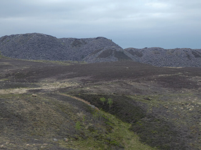
Alexandra quarry

Alexandra quarry was a slate quarry in North Wales, on the slopes of Moel Tryfan in north Gwynedd. It was part of one of the major slate quarrying regions...

Mynydd Mawr

Mynydd Mawr (Welsh for big mountain) is a mountain in Snowdonia, North Wales, approximately 7 km (4.3 mi) west of Snowdon itself, overlooking Llyn Cwellyn...

Moel Tryfan

Moel Tryfan (429 m / 1407 ft) is a small mountain near the villages of Rhosgadfan, Y Fron and Betws Garmon, in northern Gwynedd. The higher and more famous...

Related Videos

Nearby Amenities

Located within 500m of 53.090873,-4.181823
Betws Garmon
Is In: Gwynedd,Cymru,Wales,UK
Place: hamlet
Lat/Long: 53.0935207/-4.1837445
Railway: crossing
Ref: LC32.63
Lat/Long: 53.089169/-4.181178
Railway: level_crossing
Ref: OB32.46
Lat/Long: 53.0904206/-4.1827255
Railway: crossing
Ref: OB32.09
Lat/Long: 53.0931501/-4.1858987
Railway: crossing
Ref: LC32.90
Lat/Long: 53.0876329/-4.1785958
Railway: crossing
Ref: LC32.85
Lat/Long: 53.0878738/-4.179071
The data included in this document is from www.openstreetmap.org. The data is made available under ODbL.

Have you been to Betws Garmon?

Leave your review of Betws Garmon below (or comments, questions and feedback).