Cheriton, North

Settlement in Somerset South Somerset

England

Cheriton, North

Houses in North Cheriton North Cheriton is a small scattered village just off the A357 Stalbridge to Wincanton Rd. These houses are on Hardings Lane
Houses in North Cheriton Credit: Nigel Mykura

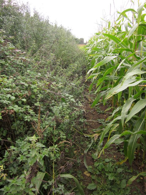
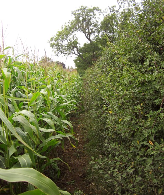
Cheriton is a small village located in the North Somerset district of England. It is situated approximately 11 miles south of the city of Bristol and 24 miles west of Bath. The village is nestled within the picturesque Chew Valley, surrounded by rolling hills and farmland.

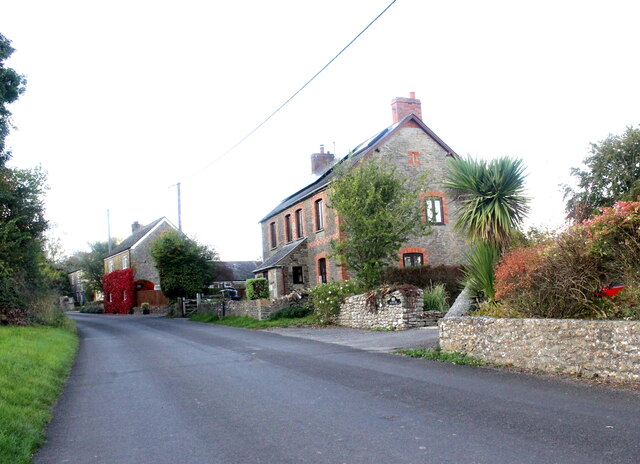
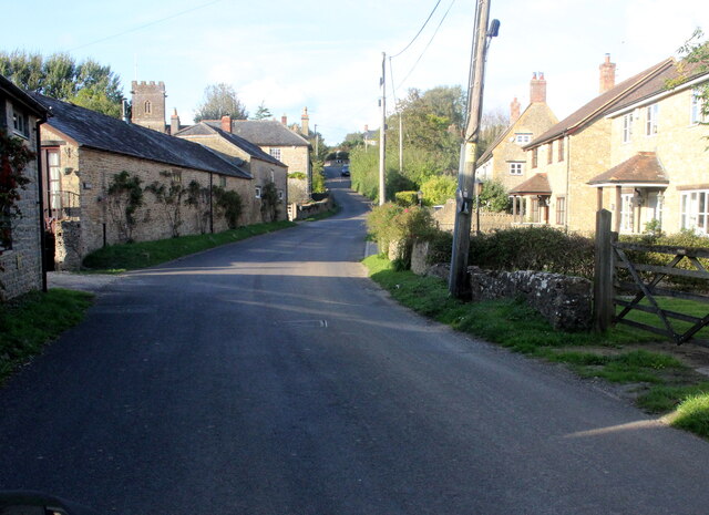
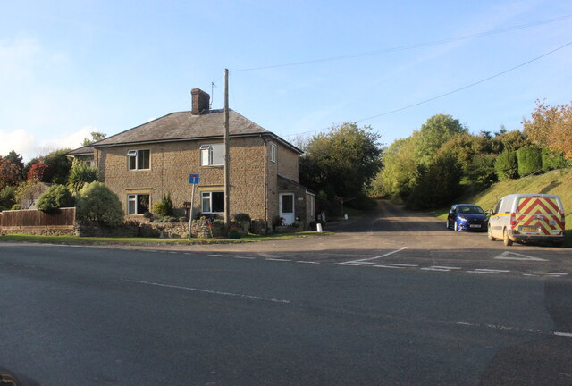
Cheriton has a population of around 400 residents, making it a close-knit and tight community. The village is known for its charming and traditional architecture, with many properties dating back to the 18th and 19th centuries. The local church, St. Leonard's, is a notable landmark and adds to the village's historic charm.

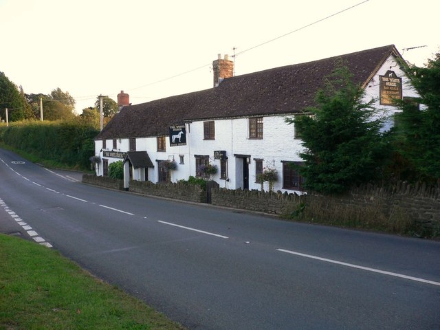
Despite its small size, Cheriton boasts a few amenities for its residents. These include a local pub, The Pony & Trap, which is renowned for its high-quality food and drink. The village also has a village hall, which serves as a hub for various community activities and events.

Nature enthusiasts are drawn to Cheriton due to its proximity to the Mendip Hills Area of Outstanding Natural Beauty. The village is an excellent base for exploring the stunning countryside, with numerous walking and cycling trails nearby. The nearby Chew Valley Lake is a popular spot for birdwatching and fishing.

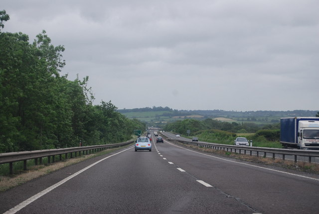
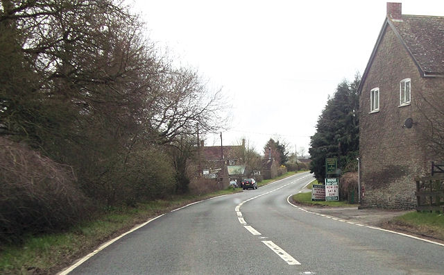
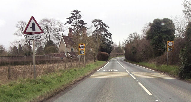
Cheriton's location provides easy access to larger towns and cities, with Bristol and Bath offering a wide range of shopping, cultural, and leisure opportunities. The village is well-connected by road, with the A368 passing through, providing links to surrounding areas.

In summary, Cheriton is a picturesque village in North Somerset, offering a peaceful and idyllic setting, along with access to beautiful countryside and nearby urban amenities.

If you have any feedback on the listing, please let us know in the comments section below.

Cheriton, North Images

Images are sourced within 2km of 51.029925/-2.443634 or Grid Reference ST6825. Thanks to Geograph Open Source API. All images are credited.

Houses in North Cheriton North Cheriton is a small scattered village just off the A357 Stalbridge to Wincanton Rd. These houses are on Hardings Lane
Houses in North Cheriton
North Cheriton is a small scattered village just off the A357 Stalbridge to Wincanton Rd. These houses are on Hardings Lane
Holton Somerset This is the main street running through this small village which has a pub but very little else apart from the houses
Holton Somerset
This is the main street running through this small village which has a pub but very little else apart from the houses
Truncated road near Holton This road used to lead north from Holton village to Elliscombe House and Farm but it has been truncated by the building of the A303 and this is now a dead end.
Truncated road near Holton
This road used to lead north from Holton village to Elliscombe House and Farm but it has been truncated by the building of the A303 and this is now a dead end.
A303 The A303 is a main trunk road running 92 miles between Basingstoke and Honiton. Along with the A30 and M3 it forms a major route between London and the South West. Much of the road is dual carriageway, but some stretches remain single and prone to congestion.

Wikipedia: <span class="nowrap"><a title="http://en.wikipedia.org/wiki/A303_road" rel="nofollow ugc noopener" href="http://en.wikipedia.org/wiki/A303_road">Link</a><img style="margin-left:2px;" alt="External link" title="External link - shift click to open in new window" src="https://s1.geograph.org.uk/img/external.png" width="10" height="10"/></span>
A303
The A303 is a main trunk road running 92 miles between Basingstoke and Honiton. Along with the A30 and M3 it forms a major route between London and the South West. Much of the road is dual carriageway, but some stretches remain single and prone to congestion. Wikipedia: LinkExternal link
A303 near High Holton The A303 is a main trunk road running 92 miles between Basingstoke and Honiton. Along with the A30 and M3 it forms a major route between London and the South West. Much of the road is dual carriageway, but some stretches remain single and prone to congestion.

Wikipedia: <span class="nowrap"><a title="http://en.wikipedia.org/wiki/A303_road" rel="nofollow ugc noopener" href="http://en.wikipedia.org/wiki/A303_road">Link</a><img style="margin-left:2px;" alt="External link" title="External link - shift click to open in new window" src="https://s1.geograph.org.uk/img/external.png" width="10" height="10"/></span>
A303 near High Holton
The A303 is a main trunk road running 92 miles between Basingstoke and Honiton. Along with the A30 and M3 it forms a major route between London and the South West. Much of the road is dual carriageway, but some stretches remain single and prone to congestion. Wikipedia: LinkExternal link
South Somerset : The A303 The A303 heading through Somerset as seen here at 6:51am.
South Somerset : The A303
The A303 heading through Somerset as seen here at 6:51am.
South Somerset : The A303 The A303 heading over a small hill in South Somerset.
South Somerset : The A303
The A303 heading over a small hill in South Somerset.
The A357  through South Cheriton looking south
The A357 through South Cheriton looking south
"The White Horse" at South Cheriton
Horse and rider in Cheriton Street The car park is attached to "The White Horse".
Horse and rider in Cheriton Street
The car park is attached to "The White Horse".
The church of St Peter and St Paul, Maperton
A357 south through Lattiford B3145 junction just ahead round bend
A357 south through Lattiford
B3145 junction just ahead round bend
Grove Lane junction with A357
A357 at South Cheriton White House inn on the right
A357 at South Cheriton
White House inn on the right
Road works on A357 By Meadow View south of South Cheriton
Road works on A357
By Meadow View south of South Cheriton
A303 lay-by on Hunger Hill A shallow lay-by on the eastbound carriageway, before the road descends to Wincanton.  The trees and cutting screen a nearby farm to the north.
A303 lay-by on Hunger Hill
A shallow lay-by on the eastbound carriageway, before the road descends to Wincanton. The trees and cutting screen a nearby farm to the north.
Path to Pevlings Farm The hedges are overgrown, the maize is high, and the waymarking consequently indistinct, so this might be the Monarch's Way. Officially the route goes across the middle of this field, but no way has been cleared through the crop so that's impractical.
Path to Pevlings Farm
The hedges are overgrown, the maize is high, and the waymarking consequently indistinct, so this might be the Monarch's Way. Officially the route goes across the middle of this field, but no way has been cleared through the crop so that's impractical.
Maize and hedge near Brooke's Hall At this point I reached the conclusion that I had missed the path (WN 14/28) to Pevlings Farm and chosen the wrong tiny passage between maize and hedge. Time to retreat ...
Maize and hedge near Brooke's Hall
At this point I reached the conclusion that I had missed the path (WN 14/28) to Pevlings Farm and chosen the wrong tiny passage between maize and hedge. Time to retreat ...
Show me another place!

Cheriton, North is located at Grid Ref: ST6825 (Lat: 51.029925, Lng: -2.443634)

Administrative County: Somerset

District: South Somerset

Police Authority: Avon and Somerset

What 3 Words

///mixer.quilt.shades. Near Templecombe, Somerset

Related Wikis

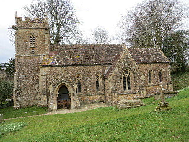
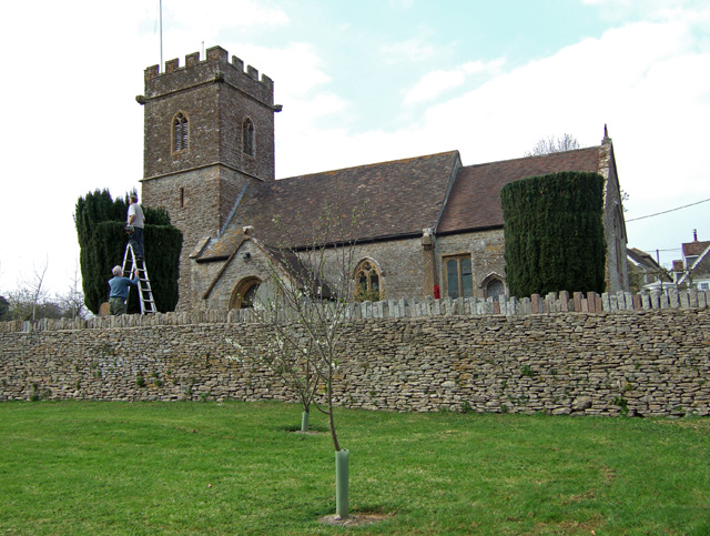
Church of St John the Baptist, North Cheriton

The Anglican Church of St John the Baptist in North Cheriton, Somerset, England was built in the 14th century. It is a Grade II* listed building. ��2...

North Cheriton

North Cheriton is a small village and civil parish in South Somerset with a population of 208. It is located on the A357 south-west of Wincanton. ��2...

Holton, Somerset

Holton is a village (or hamlet) and parish in Somerset, England, situated on the A303 road 2 miles (3.2 km) south west of Wincanton in the South Somerset...

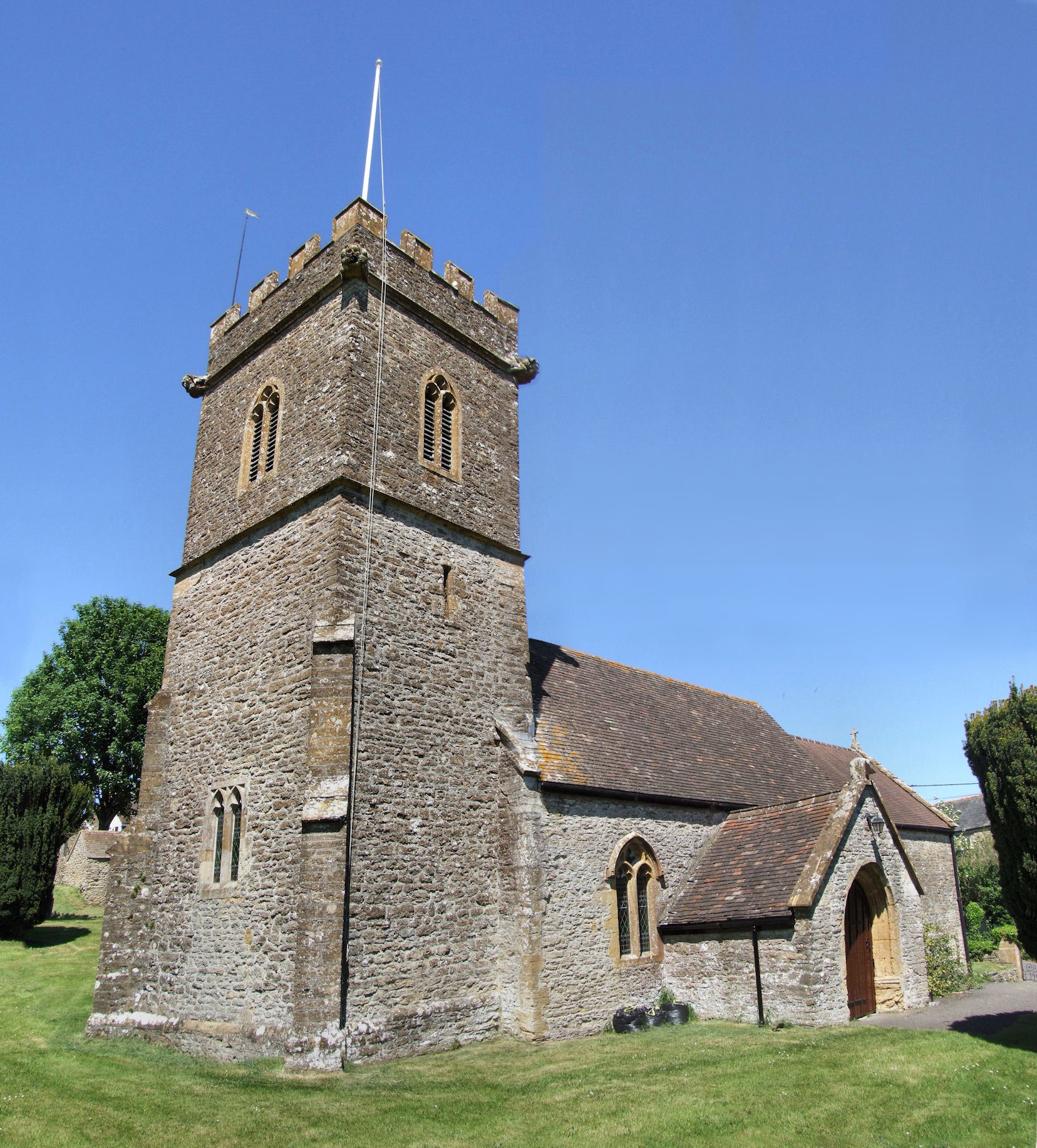
Church of St Nicholas, Holton

The Anglican Church of St Nicholas in Holton, Somerset, England was built in the 14th century. It is a Grade II* listed building. == History == The church...

Maperton

Maperton is a village and civil parish in Somerset, England, situated 3 miles (4.8 km) south west of Wincanton in the South Somerset district. The village...

Horsington, Somerset

Horsington is a village and Civil parish in Somerset, England, situated 4 miles (6.4 km) south of Wincanton and 1 mile (1.6 km) north of Templecombe in...

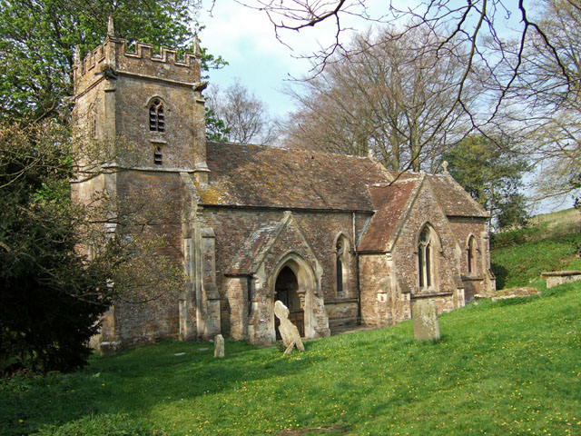
Church of St John the Baptist, Horsington

The Anglican Church of St John the Baptist in Horsington, Somerset, England was built in the 15th century and rebuilt between 1885 and 1887. It is a Grade...
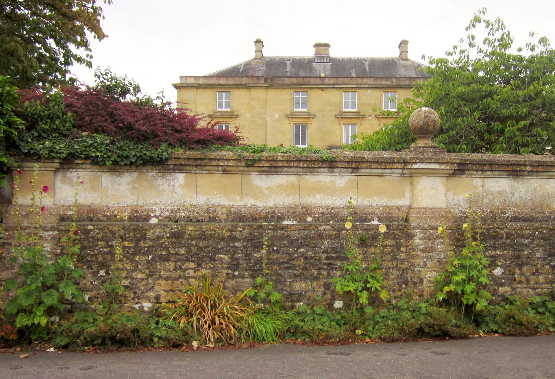
Horsington House

Horsington House is a country house in Horsington, near Templecombe in Somerset. It is a stone-built house with pillared porch, built in 1839. It is a...

Nearby Amenities

Located within 500m of 51.029925,-2.443634
North Cheriton
Place: village
Lat/Long: 51.0312066/-2.4456547
Man Made: village_pump
Lat/Long: 51.0299834/-2.4446866
Post Box
Operator: Royal Mail
Operator Wikidata: Q638098
Post Box Type: wall
Ref: BA8 68
Royal Cypher: GR
Royal Cypher Wikidata: Q33102273
Lat/Long: 51.0299856/-2.444638
Historic: memorial
Memorial: war_memorial
Lat/Long: 51.0307027/-2.4467507
Post Box
Operator: Royal Mail
Operator Wikidata: Q638098
Post Box Type: wall
Ref: BA8 76
Royal Cypher: GR
Royal Cypher Wikidata: Q33102273
Lat/Long: 51.0318902/-2.4494925
Bus Stop
North Cheriton Cemetery
Bus: yes
Naptan AtcoCode: 3600SOA10613
Naptan NaptanCode: sotdjmaj
Public Transport: platform
Shelter: yes
Lat/Long: 51.0289854/-2.4393045
The data included in this document is from www.openstreetmap.org. The data is made available under ODbL.

Have you been to Cheriton, North?

Leave your review of Cheriton, North below (or comments, questions and feedback).