North Cheam

Settlement in Surrey

England

North Cheam

Window cleaning Windows being cleaned at the Hall.
Window cleaning Credit: Jay Pea

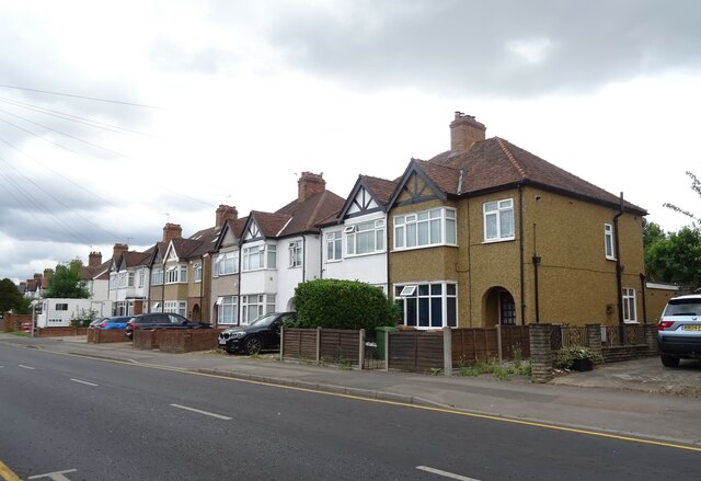
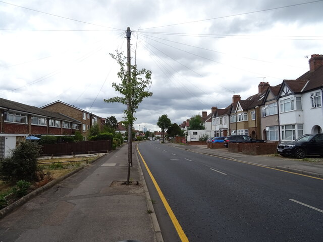
North Cheam is a suburban area located in the London Borough of Sutton, in the county of Surrey, England. It is situated approximately 12 miles south-west of central London. North Cheam is primarily a residential area with a mix of housing types, including detached and semi-detached houses, as well as some apartment buildings.

The area is known for its peaceful and family-friendly atmosphere, making it a popular choice for families and professionals looking for a quiet suburban lifestyle within easy reach of the city. The local community is diverse, with a range of cultures and backgrounds represented.

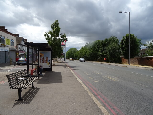
North Cheam benefits from excellent transportation links, with several bus routes serving the area, connecting it to nearby towns and central London. The area is also well-connected by road, with the A24 running through it, providing easy access to other parts of Surrey and beyond.

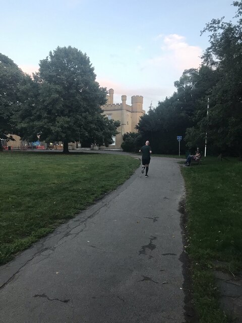
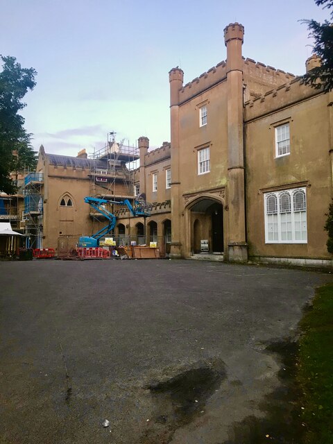
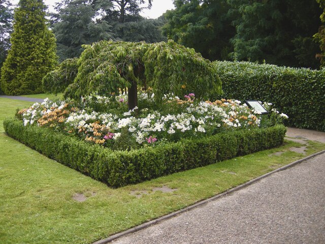
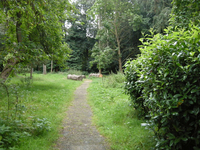
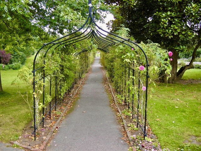
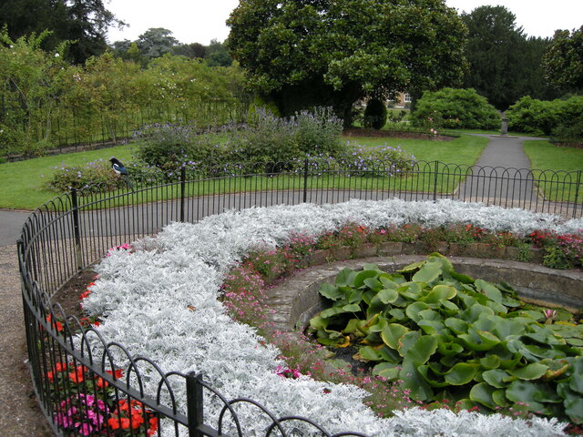
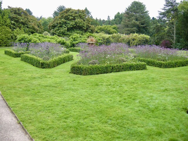
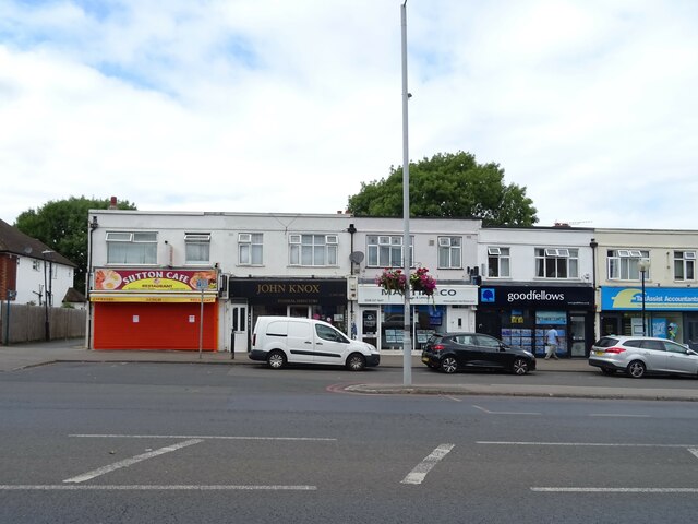
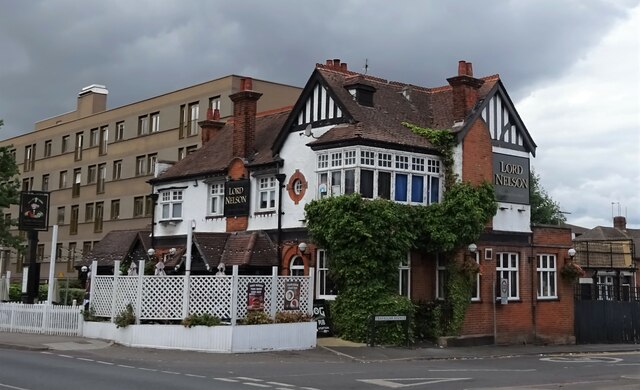
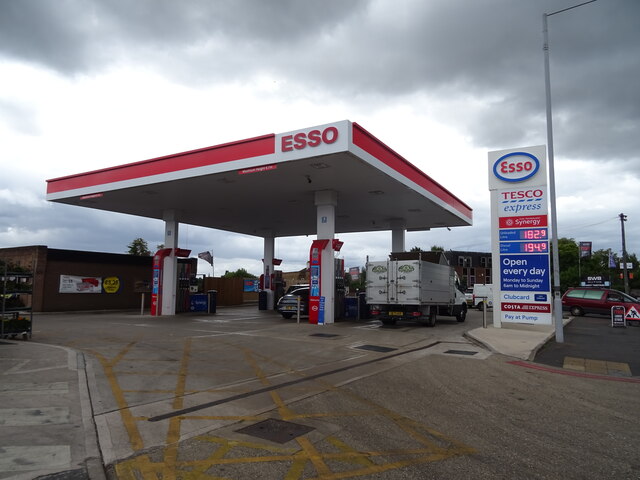
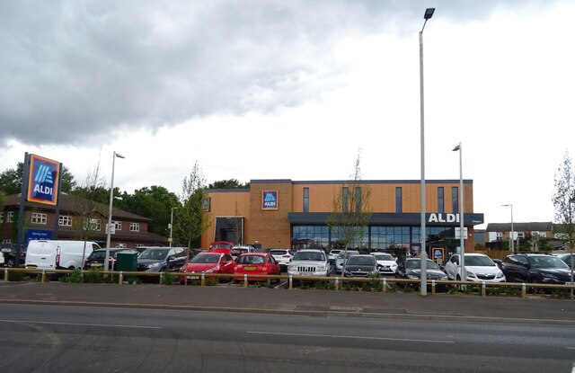
There are several amenities and facilities in North Cheam to cater to the residents' needs. These include a variety of shops, supermarkets, restaurants, and pubs, offering a range of services and products. The area also boasts several green spaces and parks, providing opportunities for outdoor activities and recreational pursuits.

North Cheam is home to a number of schools, both primary and secondary, ensuring that families with children have access to quality education options within the local area. The community is also served by healthcare facilities, including medical centers and pharmacies.

Overall, North Cheam offers a peaceful and convenient suburban lifestyle, with good transport links, a range of amenities, and a strong sense of community.

If you have any feedback on the listing, please let us know in the comments section below.
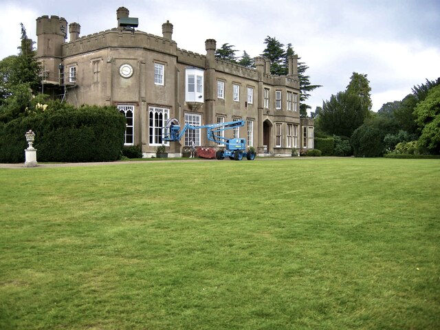
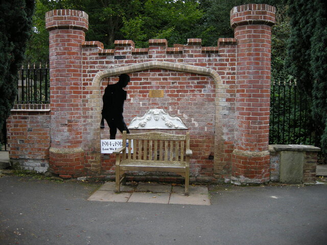
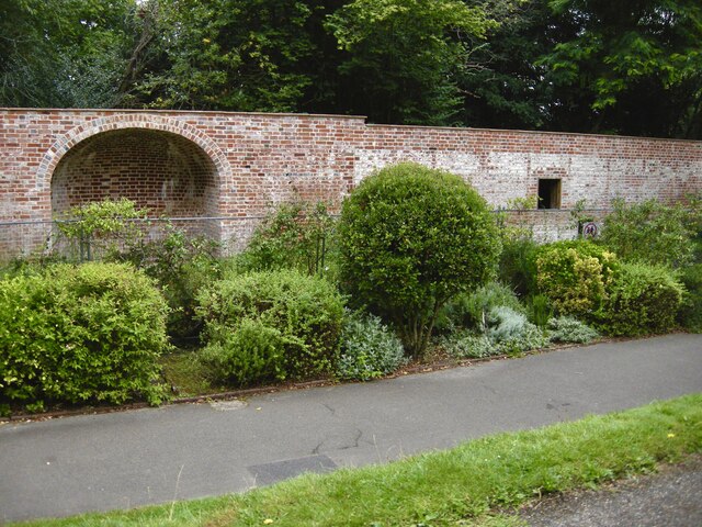
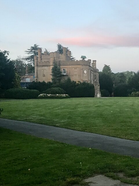
North Cheam Images

Images are sourced within 2km of 51.371876/-0.223524 or Grid Reference TQ2365. Thanks to Geograph Open Source API. All images are credited.

Window cleaning Windows being cleaned at the Hall.
Window cleaning
Windows being cleaned at the Hall.
Tribute Memorial A memorial to the staff of Nonsuch who lost their lives in the Great War.
Tribute Memorial
A memorial to the staff of Nonsuch who lost their lives in the Great War.
Remains of glasshouses Only the walls remain of the glass house at Nonsuch Hall.
Remains of glasshouses
Only the walls remain of the glass house at Nonsuch Hall.
Evening at Nonsuch Early evening photo at Nonsuch Hall.
Evening at Nonsuch
Early evening photo at Nonsuch Hall.
Evening Exercise A jogger using the paths at Nonsuch Park.
Evening Exercise
A jogger using the paths at Nonsuch Park.
Nonsuch Mansion The rear of the Mansion from the car park, with renovation work taking place.
Nonsuch Mansion
The rear of the Mansion from the car park, with renovation work taking place.
Formal Garden One of the many attractive borders, although late in the season still colourful.
Formal Garden
One of the many attractive borders, although late in the season still colourful.
The Pinetum One of the paths through the Pinetum with a recently felled tree.
The Pinetum
One of the paths through the Pinetum with a recently felled tree.
The Rosewalk Very attractive arched walkway with scented roses.
The Rosewalk
Very attractive arched walkway with scented roses.
Formal pond Lily pond and Magpie.
Formal pond
Lily pond and Magpie.
Formal borders Well maintained borders with box and lavender plants.
Formal borders
Well maintained borders with box and lavender plants.
Shops on Stonecot Hill
Bus stop and shelter on Stonecot Hill (A24)
The Lord Nelson public house, Sutton On London Road.
The Lord Nelson public house, Sutton
On London Road.
Houses on Gander Green Lane, Sutton
Gander Green Lane, Sutton
Service station on London Road, Sutton Petrol 182.9p
Diesel 194.9p.
Service station on London Road, Sutton
Petrol 182.9p Diesel 194.9p.
Aldi supermarket on London Road, Sutton
Show me another place!

North Cheam is located at Grid Ref: TQ2365 (Lat: 51.371876, Lng: -0.223524)

Unitary Authority: Sutton

Police Authority: Metropolitan

What 3 Words

///chats.fear.market. Near Cheam, London

Nearby Locations

North Cheam Cheam, North

Related Wikis

Cheam High School

Cheam High School is a mixed sex academy school located in Cheam, London Borough of Sutton, South London. It consists of a lower school, for those aged...

St Anthony's Hospital, North Cheam

Spire St Anthony's Hospital is a private hospital in North Cheam, formerly in the county of Surrey, now in the London Borough of Sutton. The hospital is...

Worcester Park

Worcester Park is a suburban town in South West London, England. It lies in the London boroughs of Sutton and Kingston, and partly in the Surrey borough...

St Alban's, Cheam

St Alban's, Cheam, also known as the Church of St Alban the Martyr, is one of three Church of England churches in the parish of Cheam in the London Borough...

Nearby Amenities

Located within 500m of 51.371876,-0.223524
Traffic Signals
Lat/Long: 51.3709774/-0.2280416
Traffic Calming: table
Lat/Long: 51.3697688/-0.2227335
Turning Circle
Lat/Long: 51.3711746/-0.2200941
Bicycle Parking
Lat/Long: 51.3762537/-0.2223424
Post Box
Collection Times: Mo-Fr 09:00; Sa 07:00
Operator: Royal Mail
Operator Wikidata: Q638098
Post Box Type: pillar
Ref: SM3 59D
Royal Cypher: GR
Royal Cypher Wikidata: Q33102273
Lat/Long: 51.3755748/-0.2230892
Ref GB Tflcid: RWG134427
Traffic Calming: hump
Lat/Long: 51.3761712/-0.2222067
Crossing
Lat/Long: 51.3724903/-0.2170482
Post Box
Collection Times: Mo-Fr 16:30; Sa 11:45
Operator: Royal Mail
Operator Wikidata: Q638098
Post Box Type: pillar
Ref: SM3 243
Royal Cypher: GR
Royal Cypher Wikidata: Q33102273
Lat/Long: 51.3727822/-0.2185328
Crossing
Crossing: traffic_signals
Crossing Ref: pelican
Lat/Long: 51.3734298/-0.2249077
Crossing
Crossing: uncontrolled
Crossing Island: no
Crossing Ref: zebra
Lat/Long: 51.3724528/-0.2234195
Crossing
Lat/Long: 51.3725008/-0.2253001
Fuel
Sainsbury's Petrol Station
Addr City: North Cheam
Addr Housenumber: 566
Addr Postcode: SM3 9AA
Addr Street: London Road
Brand: Sainsbury's
Brand Wikidata: Q152096
Fhrs Id: 898585
Website: https://stores.sainsburys.co.uk/0495/north-cheam-petrol-station
Lat/Long: 51.3728279/-0.2247129
Community Centre
Elmcroft Community Centre
Check Date: 2008-05-24
Lat/Long: 51.3729779/-0.2251936
Turning Circle
Lat/Long: 51.3707303/-0.2301502
Post Box
Postal Code: SM3
Ref: SM3 155
Source: photo
Lat/Long: 51.3698156/-0.2226174
Cheam Leisure Centre
Leisure: sports_centre
Source: photo
Website: https://www.everyoneactive.com/centre/cheam-leisure-centre/
Lat/Long: 51.3683047/-0.2244665
Pharmacy
Healthcare: pharmacy
Source: photo
Lat/Long: 51.368573/-0.2250257
citizens_advice_bureaux
Office: ngo
Source: photo
Lat/Long: 51.3688729/-0.2236965
Cheam Priory Day Centre
Source: photo
Lat/Long: 51.3688765/-0.2235091
Priory Crescent Clinic
Fixme: According to Google, this clinic has permanently closed. Please confirm and remove if so.
Lat/Long: 51.3690367/-0.2230522
Post Office
Lavender Corner Post Office
Addr City: Worcester Park
Addr Housenumber: 8
Addr Postcode: KT4 8SG
Addr Street: Cheam Common Road
Brand: Post Office
Brand Wikidata: Q1783168
Ref Pol Id: 18148
Website: https://www.postoffice.co.uk/branch-finder/0620238/lavender-corner
Lat/Long: 51.3714861/-0.2283121
Bicycle Parking
Capacity: 4
Lat/Long: 51.372631/-0.223247
Bicycle Parking
Capacity: 1
Lat/Long: 51.3737687/-0.2251599
Crossing
Lat/Long: 51.3683642/-0.2254322
Bicycle Parking
Capacity: 10
Lat/Long: 51.3680832/-0.2251111
Recycling
Lat/Long: 51.3686399/-0.2240896
Post Box
Collection Times: Mo-Fr 16:15; Sa 11:30
Operator: Royal Mail
Operator Wikidata: Q638098
Post Box Mounting: pier
Post Box Type: lamp
Ref: SM3 183
Royal Cypher: EIIR
Royal Cypher Wikidata: Q33102113
Lat/Long: 51.3696746/-0.22956
North Cheam
Is In: Sutton, London, UK
Place: village
Wikipedia: en:Cheam#North Cheam
Lat/Long: 51.3715776/-0.220225
Bus Stop
Cheam Leisure Centre
Bus: yes
Local Ref: T
Naptan AtcoCode: 490005059S
Naptan Bearing: S
Naptan CommonName: Cheam Leisure Centre
Naptan Indicator: Stop T
Naptan Street: MALDEN ROAD
Naptan Verified: no
Public Transport: platform
Ref: 54478
Source Ref: naptan
Lat/Long: 51.3680297/-0.2251554
Bus Stop
Hayes Crescent
Bus: yes
Naptan AtcoCode: 490007945S
Naptan Bearing: S
Naptan CommonName: Hayes Crescent
Naptan Indicator: X
Naptan Street: CHURCH HILL ROAD
Naptan Verified: no
Note: Alighting point only.
Public Transport: platform
Ref: 56454
Source Ref: naptan
Lat/Long: 51.369492/-0.2219053
Bus Stop
Frogmore Close
Bus: yes
Maxspeed: 20 mph
Naptan AtcoCode: 490008065N
Naptan Bearing: N
Naptan CommonName: Frogmore Close
Naptan Verified: no
Public Transport: platform
Lat/Long: 51.3713177/-0.2188398
Bus Stop
Frogmore Close
Bus: yes
Maxspeed: 20 mph
Naptan AtcoCode: 490008065S
Naptan Bearing: N
Naptan CommonName: Frogmore Close
Naptan Verified: no
Public Transport: platform
Lat/Long: 51.3713177/-0.2186976
Bus Stop
Langley Avenue
Bus: yes
Local Ref: HC
Naptan AtcoCode: 490008948S1
Naptan Bearing: S
Naptan CommonName: Langley Avenue London Road
Naptan Indicator: Stop HC
Naptan Street: LONDON ROAD
Naptan Verified: no
Public Transport: platform
Lat/Long: 51.3754551/-0.2230293
Bus Stop
Wellington Avenue
Bench: yes
Bus: yes
Local Ref: A
Naptan AtcoCode: 490009283A
Naptan Bearing: N
Naptan CommonName: London Road Cheam Common Rd
Naptan Indicator: A
Naptan Street: CHEAM COMMON ROAD
Naptan Verified: no
Public Transport: platform
Ref: 57236
Shelter: yes
Source Ref: naptan
Tactile Paving: no
Lat/Long: 51.3715109/-0.2289512
Bus Stop
North Cheam / London Road
Bench: yes
Bus: yes
Local Ref: B
Naptan AtcoCode: 490009283B
Naptan Bearing: N
Naptan CommonName: London Road Cheam Common Rd
Naptan Indicator: B
Naptan Street: CHEAM COMMON ROAD
Naptan Verified: no
Public Transport: platform
Ref: 77189
Shelter: yes
Source Ref: naptan
Tactile Paving: no
Lat/Long: 51.3715253/-0.2287164
Bus Stop
North Cheam / London Road
Bus: yes
Local Ref: C
Naptan AtcoCode: 490010323C
Naptan Bearing: N
Naptan CommonName: Malden Road London Road
Naptan Indicator: C
Naptan Street: LONDON ROAD
Naptan Verified: no
Public Transport: platform
Ref: 74434
Source Ref: naptan
Lat/Long: 51.3715243/-0.2275134
Bus Stop
North Cheam / London Road
Bus: yes
Local Ref: D
Naptan AtcoCode: 490010323D
Naptan Bearing: N
Naptan CommonName: Malden Road London Road
Naptan Indicator: D
Naptan Street: LONDON ROAD
Naptan Verified: no
Public Transport: platform
Ref: 51387
Source Ref: naptan
Lat/Long: 51.371742/-0.2270255
Bus Stop
North Cheam / London Road
Bench: yes
Bin: no
Bus: yes
Lit: yes
Local Ref: G
Naptan AtcoCode: 490010323G
Naptan Bearing: N
Naptan CommonName: Malden Road London Road
Naptan Indicator: Stop G
Naptan Street: MALDEN ROAD
Naptan Verified: no
Public Transport: platform
Ref: 74204
Shelter: yes
Source Ref: naptan
Tactile Paving: no
Lat/Long: 51.3705634/-0.2277
Bus Stop
Church Hill Road
Bench: yes
Bin: yes
Bus: yes
Lit: yes
Local Ref: H
Naptan AtcoCode: 490010323H
Naptan Bearing: N
Naptan CommonName: Malden Road London Road
Naptan Indicator: H
Naptan Street: MALDEN ROAD
Naptan Verified: no
Public Transport: platform
Shelter: yes
Tactile Paving: no
Lat/Long: 51.370375/-0.2274388
Bus Stop
Church Hill Road
Bus: yes
Local Ref: J
Naptan AtcoCode: 490010323J
Naptan Bearing: N
Naptan CommonName: Malden Road London Road
Naptan Indicator: J
Naptan Street: MALDEN ROAD
Naptan Verified: no
Public Transport: platform
Lat/Long: 51.3698909/-0.226682
Bus Stop
Senhouse Road
Bus: yes
Naptan AtcoCode: 490010323S
Naptan Bearing: SE
Naptan CommonName: Malden Road London Road
Naptan Indicator: Stop
Naptan Verified: no
Note: Alighting point only.
Public Transport: platform
Ref: 98360
Source Ref: naptan
Lat/Long: 51.3719254/-0.2264291
Bus Stop
North Cheam / Sainsbury's
Bus: yes
Local Ref: K
Naptan AtcoCode: 490010324K
Naptan Bearing: N
Naptan CommonName: North Cheam Sainsbury's
Naptan Indicator: K
Naptan Street: LONDON ROAD
Naptan Verified: no
Public Transport: platform
Ref: 49794
Source Ref: naptan
Lat/Long: 51.3726646/-0.2259712
Bus Stop
North Cheam / Sainsbury's
Bus: yes
Local Ref: L
Naptan AtcoCode: 490010324L
Naptan Bearing: N
Naptan CommonName: North Cheam Sainsbury's
Naptan Indicator: L
Naptan Street: SAINSBURYS SUPERSTORE NORTH CHEAM
Naptan Verified: no
Public Transport: platform
Ref: 52648
Source Ref: naptan
Lat/Long: 51.3722746/-0.2246544
Bus Stop
North Cheam Sports Club
Bus: yes
Local Ref: HJ
Naptan AtcoCode: 490010325N
Naptan Bearing: N
Naptan CommonName: North Cheam Sports Club
Naptan Indicator: Stop HJ
Naptan Street: LONDON ROAD
Naptan Verified: no
Public Transport: platform
Ref: 56526
Source Ref: naptan
Lat/Long: 51.3747051/-0.2240701
Bus Stop
North Cheam Sports Club
Bus: yes
Local Ref: HD
Naptan AtcoCode: 490010325S
Naptan Bearing: S
Naptan CommonName: North Cheam Sports Club
Naptan Indicator: Stop HD
Naptan Street: LONDON ROAD
Naptan Verified: no
Public Transport: platform
Ref: 47370
Source Ref: naptan
Lat/Long: 51.3743645/-0.2241778
Post Box
Collection Times: Mo-Fr 16:15; Sa 11:45
Operator: Royal Mail
Operator Wikidata: Q638098
Post Box Type: pillar
Ref: SM3 289
Royal Cypher: EIIR
Royal Cypher Wikidata: Q33102113
Lat/Long: 51.3719769/-0.224283
Recycling
Sainsbury's Supermarket Car Park
Recycling Cans: yes
Recycling Clothes: yes
Recycling Magazines: yes
Recycling Newspaper: yes
Recycling Paper: yes
Lat/Long: 51.3725159/-0.2258544
Bicycle Parking
Lat/Long: 51.3719067/-0.2242468
Crossing
Crossing: traffic_signals
Crossing Ref: pelican
Lat/Long: 51.3734069/-0.22505
Crossing
Crossing: traffic_signals
Crossing Ref: pelican
Lat/Long: 51.3734293/-0.2252618
Restaurant
Nicky's Restaurant
Lat/Long: 51.3736706/-0.2253519
Crossing
Crossing: uncontrolled
Crossing Ref: zebra
Lat/Long: 51.3762622/-0.2222924
Crossing
Crossing: uncontrolled
Crossing Ref: zebra
Lat/Long: 51.3727138/-0.2251337
Crossing
Crossing: uncontrolled
Crossing Island: yes
Crossing Ref: zebra
Lat/Long: 51.3721506/-0.2266659
Crossing
Crossing Markings: zebra
Lat/Long: 51.3731604/-0.2261353
Crossing
Crossing: traffic_signals
Crossing Ref: pelican
Lat/Long: 51.3733353/-0.2250835
Bicycle Parking
Lat/Long: 51.3723541/-0.2235858
Entrance: yes
Lat/Long: 51.3724685/-0.2261133
Addr Housenumber: 45
Addr Street: Cheam Common Road
Lat/Long: 51.3720311/-0.230181
Addr Housenumber: 43
Addr Street: Cheam Common Road
Lat/Long: 51.3719926/-0.2301113
Bicycle Parking
Capacity: 2
Lat/Long: 51.3714652/-0.2283579
Atm
Fee: no
Lat/Long: 51.3714572/-0.2283251
Post Box
Collection Times: Mo-Fr 09:00; Sa 07:00
Operator: Royal Mail
Operator Wikidata: Q638098
Post Box Apertures: 2
Post Box Type: pillar
Ref: KT4 3451;KT4 345
Royal Cypher: EIIR
Royal Cypher Wikidata: Q33102113
Lat/Long: 51.3714767/-0.2283867
Post Box
Collection Times: Mo-Fr 09:00; Sa 07:00
Operator: Royal Mail
Operator Wikidata: Q638098
Post Box Type: pillar
Ref: SM3 136D
Royal Cypher: GR
Royal Cypher Wikidata: Q33102273
Lat/Long: 51.3725992/-0.2263355
Traffic Calming: hump
Lat/Long: 51.3727581/-0.228655
Traffic Calming: cushion
Lat/Long: 51.3707027/-0.2268147
Traffic Calming: cushion
Lat/Long: 51.3708687/-0.2262731
Crossing
Crossing: marked
Crossing Markings: yes
Traffic Calming: table
Lat/Long: 51.370767/-0.2254326
Traffic Calming: hump
Lat/Long: 51.3704246/-0.2216229
Traffic Calming: hump
Lat/Long: 51.3709718/-0.2209894
Traffic Calming: hump
Lat/Long: 51.37196/-0.2208652
Barrier: lift_gate
Lat/Long: 51.368464/-0.2280973
ALDI
Addr Country: GB
Addr Housenumber: 673
Addr Postcode: SM3 9DL
Addr Street: London Road
Brand: ALDI
Brand Wikidata: Q41171672
Brand Wikipedia: en:Aldi
Contact Website: https://stores.aldi.co.uk/north-cheam/673-london-road
Fhrs Id: 1416292
Shop: supermarket
Lat/Long: 51.3758658/-0.2230686
Bicycle Parking
Bicycle Parking: stands
Capacity: 4
Ref GB Tflcid: RWG125361
Lat/Long: 51.3709327/-0.2275391
Bicycle Parking
Bicycle Parking: stands
Capacity: 2
Ref GB Tflcid: RWG125276
Lat/Long: 51.3714765/-0.2289194
Bicycle Parking
Bicycle Parking: stands
Capacity: 2
Ref GB Tflcid: RWG125256
Lat/Long: 51.3717921/-0.2268952
Bicycle Parking
Bicycle Parking: stands
Capacity: 2
Ref GB Tflcid: RWG125328
Lat/Long: 51.3713931/-0.2277686
Bicycle Parking
Bicycle Parking: stands
Capacity: 8
Ref GB Tflcid: RWG125321
Lat/Long: 51.3726376/-0.226349
Bicycle Parking
Bicycle Parking: stands
Capacity: 8
Ref GB Tflcid: RWG125322
Lat/Long: 51.3724777/-0.226523
Bicycle Parking
Bicycle Parking: stands
Capacity: 2
Ref GB Tflcid: RWG125259
Lat/Long: 51.3703629/-0.2284722
Bicycle Parking
Bicycle Parking: stands
Capacity: 4
Ref GB Tflcid: RWG125263
Lat/Long: 51.3707611/-0.2284562
Bicycle Parking
Bicycle Parking: stands
Capacity: 2
Ref GB Tflcid: RWG125326
Lat/Long: 51.3716319/-0.2275244
Bicycle Parking
Bicycle Parking: stands
Capacity: 4
Ref GB Tflcid: RWG125363
Lat/Long: 51.3706307/-0.2278047
Bicycle Parking
Bicycle Parking: stands
Capacity: 8
Ref GB Tflcid: RWG125323
Lat/Long: 51.372138/-0.2269044
Bicycle Parking
Bicycle Parking: stands
Capacity: 2
Ref GB Tflcid: RWG125327
Lat/Long: 51.3715487/-0.2275973
Bicycle Parking
Bicycle Parking: stands
Capacity: 2
Ref GB Tflcid: RWG125325
Lat/Long: 51.3717306/-0.2273796
Bicycle Parking
Bicycle Parking: stands
Capacity: 4
Ref GB Tflcid: RWG125358
Lat/Long: 51.3721608/-0.2265222
Bicycle Parking
Bicycle Parking: stands
Capacity: 2
Ref GB Tflcid: RWG125324
Lat/Long: 51.3720048/-0.2271979
Bicycle Parking
Bicycle Parking: stands
Capacity: 4
Ref GB Tflcid: RWG125364
Lat/Long: 51.3704478/-0.2275909
Bicycle Parking
Bicycle Parking: stands
Capacity: 4
Ref GB Tflcid: RWG125360
Lat/Long: 51.3709979/-0.2276197
Bicycle Parking
Bicycle Parking: stands
Capacity: 2
Ref GB Tflcid: RWG125257
Lat/Long: 51.3716183/-0.2270923
Bicycle Parking
Bicycle Parking: stands
Capacity: 2
Ref GB Tflcid: RWG125258
Lat/Long: 51.3713247/-0.2274147
Ref GB Tflcid: RWG134387
Traffic Calming: hump
Lat/Long: 51.3735463/-0.2275837
Ref GB Tflcid: RWG134399
Traffic Calming: hump
Lat/Long: 51.3738251/-0.2254718
Ref GB Tflcid: RWG134267
Traffic Calming: hump
Lat/Long: 51.3746726/-0.2246416
Ref GB Tflcid: RWG134393
Traffic Calming: hump
Lat/Long: 51.3743974/-0.2266968
Ref GB Tflcid: RWG134386
Traffic Calming: hump
Lat/Long: 51.3729948/-0.2264433
Ref GB Tflcid: RWG134389
Traffic Calming: hump
Lat/Long: 51.3745625/-0.2287593
Ref GB Tflcid: RWG134391
Traffic Calming: hump
Lat/Long: 51.3748595/-0.2276859
Ref GB Tflcid: RWG134382
Traffic Calming: hump
Lat/Long: 51.3753271/-0.2276655
Ref GB Tflcid: RWG134370
Traffic Calming: hump
Lat/Long: 51.3732998/-0.2297861
Ref GB Tflcid: RWG134383
Traffic Calming: hump
Lat/Long: 51.3757228/-0.2267637
Ref GB Tflcid: RWG134372
Traffic Calming: hump
Lat/Long: 51.374124/-0.2293475
Ref GB Tflcid: RWG134384
Traffic Calming: hump
Lat/Long: 51.3752402/-0.2257716
Ref GB Tflcid: RWG134264
Traffic Calming: hump
Lat/Long: 51.3752959/-0.2250485
Ref GB Tflcid: RWG134388
Traffic Calming: hump
Lat/Long: 51.3740461/-0.2286233
Ref GB Tflcid: RWG134431
Traffic Calming: hump
Lat/Long: 51.3688776/-0.2264305
Ref GB Tflcid: RWG134265
Traffic Calming: hump
Lat/Long: 51.3749491/-0.2251808
Ref GB Tflcid: RWG134371
Traffic Calming: hump
Lat/Long: 51.3737025/-0.2299495
Ref GB Tflcid: RWG134390
Traffic Calming: hump
Lat/Long: 51.3749144/-0.2282729
Fast Food
McDonald's
Addr Housenumber: 585
Addr Postcode: SM3 9AG
Addr Street: London Road
Brand: McDonald's
Brand Wikidata: Q38076
Cuisine: burger
Drive Through: yes
Fhrs Id: 1171854
Takeaway: yes
Website: https://www.mcdonalds.com/gb/en-gb/location/8260892.html
Lat/Long: 51.3732438/-0.2260003
Crossing
Crossing Markings: zebra
Lat/Long: 51.3731409/-0.2258689
The data included in this document is from www.openstreetmap.org. The data is made available under ODbL.

Have you been to North Cheam?

Leave your review of North Cheam below (or comments, questions and feedback).