Great Plantation

Wood, Forest in Somerset South Somerset

England

Great Plantation

Houses in North Cheriton North Cheriton is a small scattered village just off the A357 Stalbridge to Wincanton Rd. These houses are on Hardings Lane
Houses in North Cheriton Credit: Nigel Mykura

Great Plantation, Somerset (Wood, Forest) is a large and picturesque forest located in the county of Somerset, England. Spanning over an expansive area, this plantation is renowned for its stunning natural beauty and rich biodiversity.

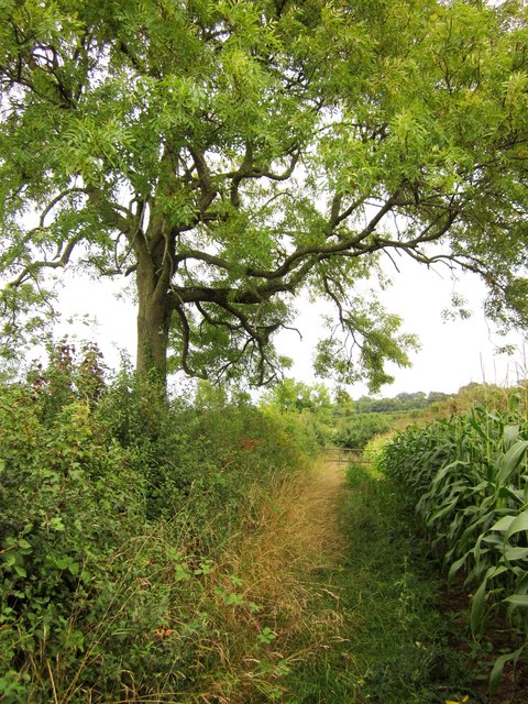
The forest is characterized by its dense woodland, consisting of a variety of tree species including oak, beech, and birch. These towering trees provide a lush and green canopy, creating a tranquil and peaceful atmosphere within the plantation. The forest floor is covered with a thick carpet of moss and ferns, adding to its enchanting appeal.

Great Plantation is home to a diverse range of wildlife, making it a popular destination for nature enthusiasts and wildlife photographers. Visitors have the opportunity to spot various species of birds, including woodpeckers, owls, and thrushes. Additionally, the forest is inhabited by mammals such as deer, foxes, and squirrels, which can often be seen roaming freely in their natural habitat.

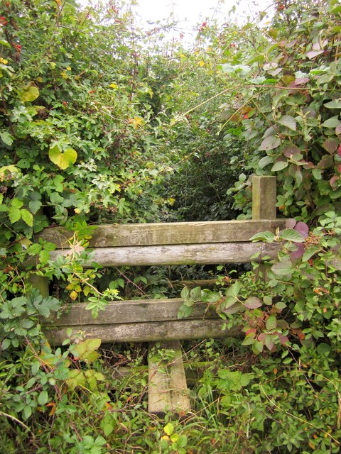
The plantation offers a multitude of recreational activities for visitors to enjoy. There are several well-maintained walking trails that allow visitors to explore the forest and appreciate its natural wonders. Additionally, the forest is equipped with picnic spots and designated camping areas, making it an ideal location for a family outing or a weekend getaway.

Overall, Great Plantation, Somerset (Wood, Forest) is a captivating destination that offers a serene escape from the hustle and bustle of everyday life. Its beautiful landscapes, abundant wildlife, and recreational opportunities make it a must-visit location for those seeking a peaceful retreat in the heart of nature.

If you have any feedback on the listing, please let us know in the comments section below.

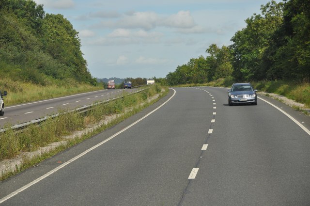
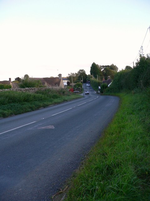
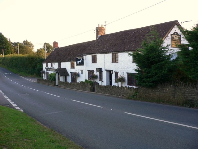
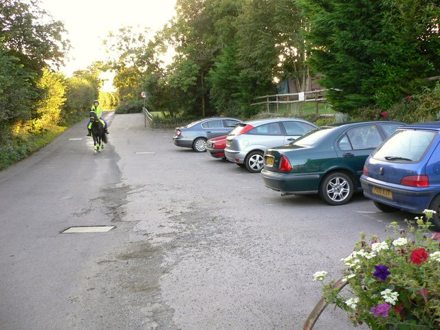
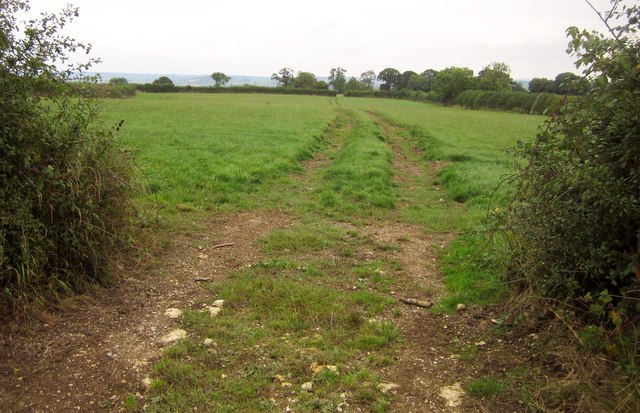
Great Plantation Images

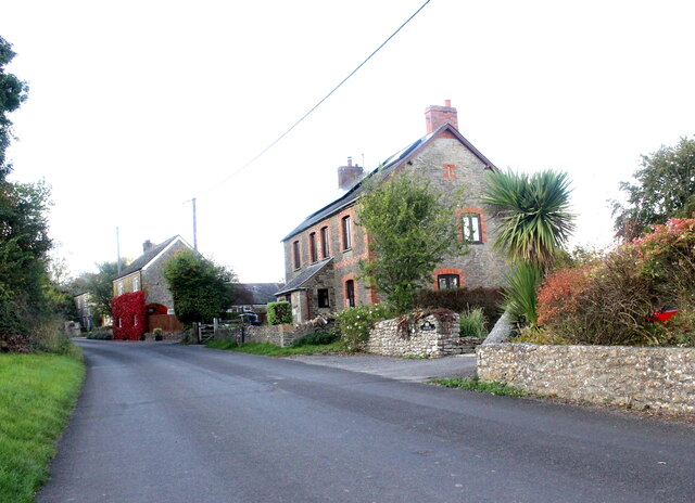
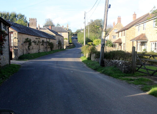
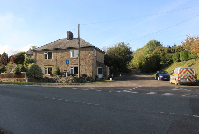
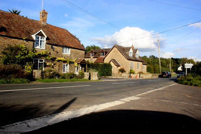
Images are sourced within 2km of 51.026417/-2.4520133 or Grid Reference ST6825. Thanks to Geograph Open Source API. All images are credited.

Houses in North Cheriton North Cheriton is a small scattered village just off the A357 Stalbridge to Wincanton Rd. These houses are on Hardings Lane
Houses in North Cheriton
North Cheriton is a small scattered village just off the A357 Stalbridge to Wincanton Rd. These houses are on Hardings Lane
Holton Somerset This is the main street running through this small village which has a pub but very little else apart from the houses
Holton Somerset
This is the main street running through this small village which has a pub but very little else apart from the houses
Truncated road near Holton This road used to lead north from Holton village to Elliscombe House and Farm but it has been truncated by the building of the A303 and this is now a dead end.
Truncated road near Holton
This road used to lead north from Holton village to Elliscombe House and Farm but it has been truncated by the building of the A303 and this is now a dead end.
Dancing Cross This crossroads is on the minor road that leads north from Maperton to Higher Clapton.
Dancing Cross
This crossroads is on the minor road that leads north from Maperton to Higher Clapton.
South Somerset : The A303 The A303 heading over a small hill in South Somerset.
South Somerset : The A303
The A303 heading over a small hill in South Somerset.
The A357  through South Cheriton looking south
The A357 through South Cheriton looking south
"The White Horse" at South Cheriton
Horse and rider in Cheriton Street The car park is attached to "The White Horse".
Horse and rider in Cheriton Street
The car park is attached to "The White Horse".
The church of St Peter and St Paul, Maperton
A357 south through Lattiford B3145 junction just ahead round bend
A357 south through Lattiford
B3145 junction just ahead round bend
Grove Lane junction with A357
A357 at South Cheriton White House inn on the right
A357 at South Cheriton
White House inn on the right
Road works on A357 By Meadow View south of South Cheriton
Road works on A357
By Meadow View south of South Cheriton
To Cyclists Ride with Caution sign This sign was erected by the Cyclists Touring Club (the overpainted lettering at the base of the sign can still be made out) in the period 1897 to 1902. It warns of the moderately severe descent of the B3145 into Charlton Horethorne. Steeper hills had a "To Cyclists This Hill is Dangerous" warning.
To Cyclists Ride with Caution sign
This sign was erected by the Cyclists Touring Club (the overpainted lettering at the base of the sign can still be made out) in the period 1897 to 1902. It warns of the moderately severe descent of the B3145 into Charlton Horethorne. Steeper hills had a "To Cyclists This Hill is Dangerous" warning.
Monarch's Way leaving Cabbage Lane Using a bridge across a ditch to reach a stile into a maize field. The path is WN 14/4. The lane is also used by The National Byway.
Monarch's Way leaving Cabbage Lane
Using a bridge across a ditch to reach a stile into a maize field. The path is WN 14/4. The lane is also used by The National Byway.
Track near the Monarch's Way And a good deal easier walking than the Monarch's Way, which struggles through an adjacent maize field. But this isn't the route of a right of way.
Track near the Monarch's Way
And a good deal easier walking than the Monarch's Way, which struggles through an adjacent maize field. But this isn't the route of a right of way.
Monarch's Way Circumnavigating one of several fields of maize in this area. At least there's some space between crop and hedge in this case ... The path is WN 14/4.
Monarch's Way
Circumnavigating one of several fields of maize in this area. At least there's some space between crop and hedge in this case ... The path is WN 14/4.
Stile on Monarch's Way You can see why the track shown in <a href="https://www.geograph.org.uk/photo/3670057">ST6823 : Track near the Monarch's Way</a> across the neighbouring field might be a tempting alternative. This overgrown stile, photographed from the same point as <a href="https://www.geograph.org.uk/photo/3670063">ST6823 : Monarch's Way</a>, leads into another maize field with little room between crop and hedge. The path is WN 14/4.
Stile on Monarch's Way
You can see why the track shown in ST6823 : Track near the Monarch's Way across the neighbouring field might be a tempting alternative. This overgrown stile, photographed from the same point as ST6823 : Monarch's Way, leads into another maize field with little room between crop and hedge. The path is WN 14/4.
Show me another place!

Great Plantation is located at Grid Ref: ST6825 (Lat: 51.026417, Lng: -2.4520133)

Administrative County: Somerset

District: South Somerset

Police Authority: Avon and Somerset

What 3 Words

///sidelined.slips.threading. Near Templecombe, Somerset

Related Wikis

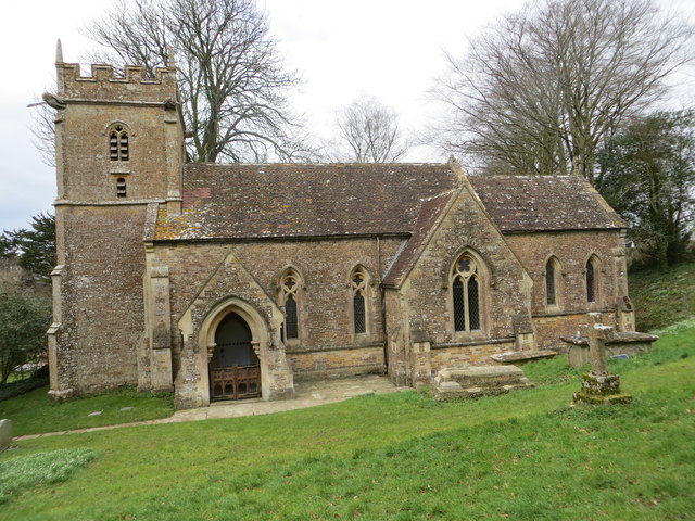
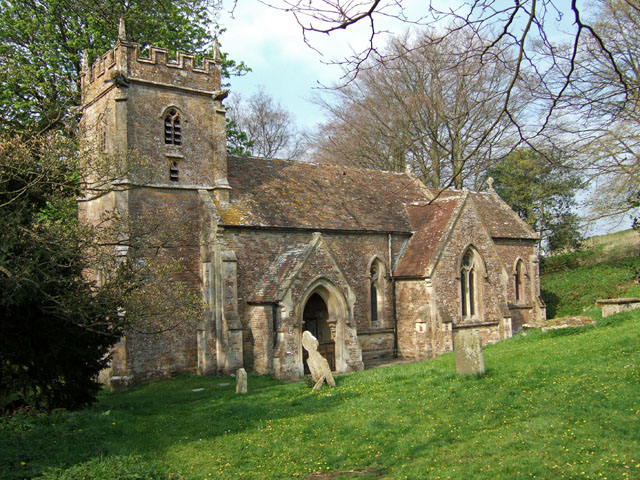
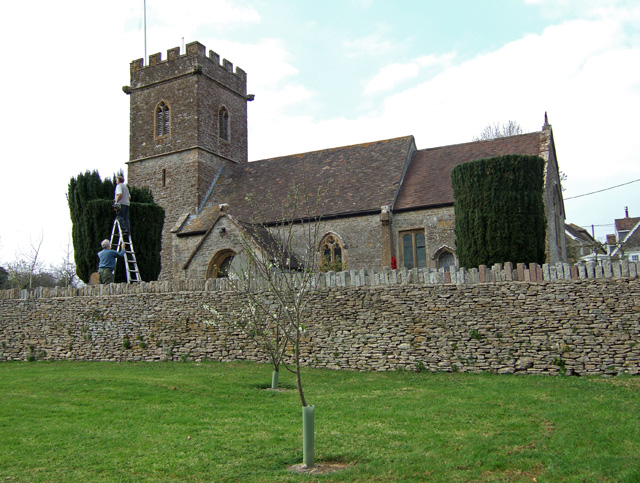
Church of St John the Baptist, North Cheriton

The Anglican Church of St John the Baptist in North Cheriton, Somerset, England was built in the 14th century. It is a Grade II* listed building. ��2...

North Cheriton

North Cheriton is a small village and civil parish in South Somerset with a population of 208. It is located on the A357 south-west of Wincanton. ��2...

Maperton

Maperton is a village and civil parish in Somerset, England, situated 3 miles (4.8 km) south west of Wincanton in the South Somerset district. The village...

Holton, Somerset

Holton is a village (or hamlet) and parish in Somerset, England, situated on the A303 road 2 miles (3.2 km) south west of Wincanton in the South Somerset...

Nearby Amenities

Located within 500m of 51.026417,-2.4520133
Cheriton Hill
Natural: peak
Lat/Long: 51.0306156/-2.452113
The data included in this document is from www.openstreetmap.org. The data is made available under ODbL.

Have you been to Great Plantation?

Leave your review of Great Plantation below (or comments, questions and feedback).