Bettisfield

Settlement in Flintshire

Wales

Bettisfield

St. John the Baptist, Bettisfield Built 1872-4. Architect G.E.Street
St. John the Baptist, Bettisfield Credit: Jonathan Thacker

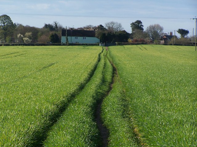
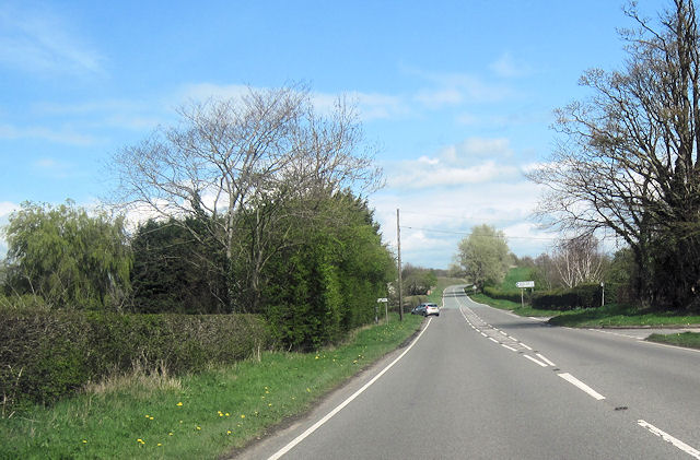
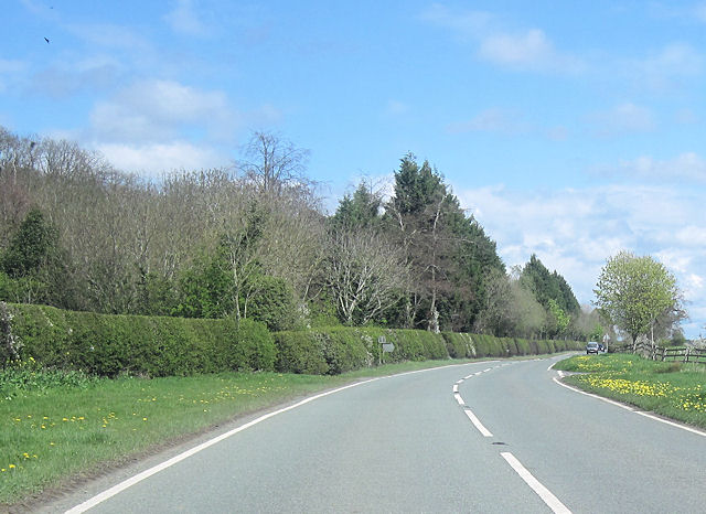
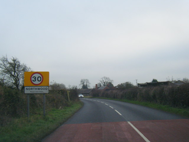
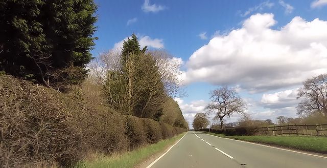
Bettisfield is a small village located in Flintshire, Wales. Situated near the border with England, it lies approximately 9 miles south of the town of Wrexham. The village is nestled in a rural setting, surrounded by picturesque countryside and farmland.

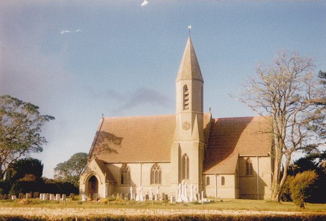
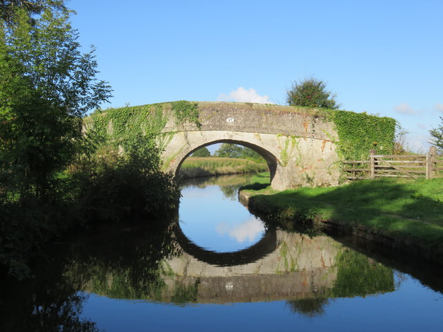
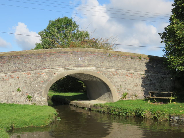
The history of Bettisfield can be traced back to medieval times when it was a farming community. Today, it retains its agricultural character with many working farms still operating in the area. The village itself consists of a small cluster of houses, a church, and a village hall.

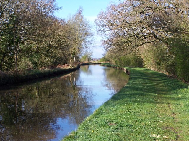
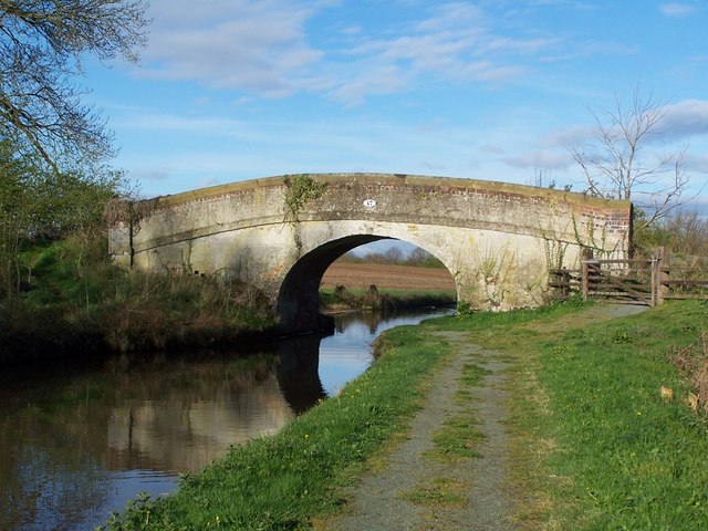
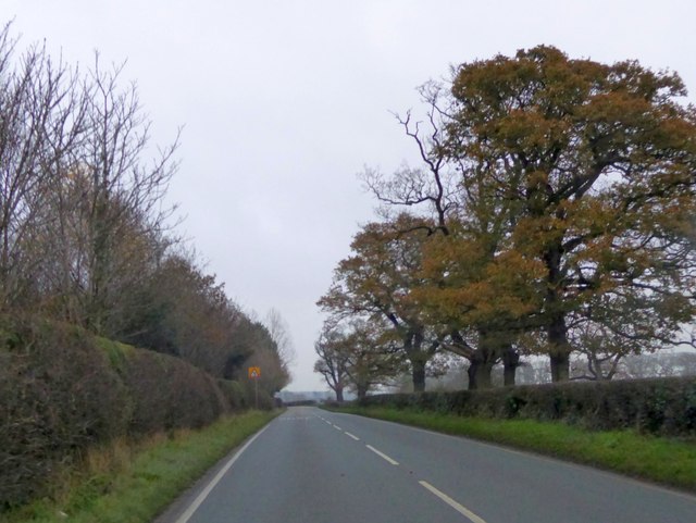
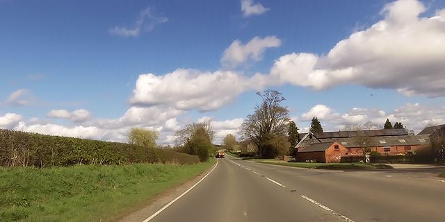
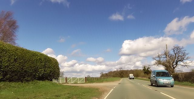
Bettisfield is known for its tranquil and idyllic atmosphere, making it an ideal destination for those seeking a peaceful retreat or a countryside getaway. The surrounding countryside offers beautiful walking and cycling routes, allowing visitors to immerse themselves in the natural beauty of the area.

While it is a small village, Bettisfield benefits from its proximity to larger towns and cities. The nearby town of Wrexham provides a range of amenities, including shops, supermarkets, and leisure facilities. The village is also well-connected by road, with good access to major transport routes such as the A525 and A483, making it easily accessible for both residents and visitors.

In conclusion, Bettisfield is a charming and rural village in Flintshire, Wales. With its scenic surroundings, it offers a peaceful and picturesque escape from the hustle and bustle of urban life.

If you have any feedback on the listing, please let us know in the comments section below.
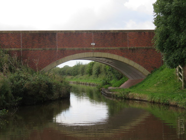
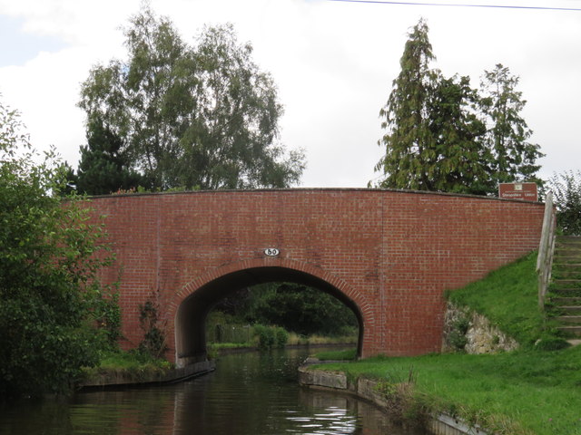
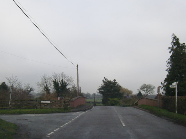
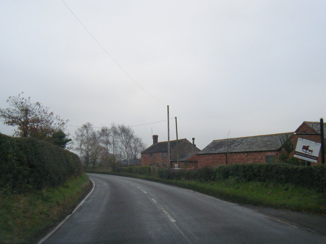
Bettisfield Images

Images are sourced within 2km of 52.913302/-2.800922 or Grid Reference SJ4635. Thanks to Geograph Open Source API. All images are credited.

St. John the Baptist, Bettisfield Built 1872-4. Architect G.E.Street
St. John the Baptist, Bettisfield
Built 1872-4. Architect G.E.Street
Llangollen Canal at western end of Whixall Moss
Path across field south of Cornhill Bridge, near Bettisfield
Cornhill Bridge No. 47, Llangollen Canal
Cross roads at Corner Farm Eastbound A495. Road to left goes to Breadon Heath
Cross roads at Corner Farm
Eastbound A495. Road to left goes to Breadon Heath
Road junction east of Little Hall A495 east
Road junction east of Little Hall
A495 east
Bridge 47 Llangollen Canal Cornhill Bridge
Bridge 47 Llangollen Canal
Cornhill Bridge
Bridge 48 Llangollen Canal Bettisfield Bridge
Bridge 48 Llangollen Canal
Bettisfield Bridge
Bridge 49 Llangollen Canal Knowles Lane Bridge (also known as Clapping Gate Bridge according to the OS Map)
Bridge 49 Llangollen Canal
Knowles Lane Bridge (also known as Clapping Gate Bridge according to the OS Map)
Bridge 50 Llangollen Canal Hampton Bank Bridge which carries the B5063 (Welshampton to Northwood Road).
Bridge 50 Llangollen Canal
Hampton Bank Bridge which carries the B5063 (Welshampton to Northwood Road).
B5063 at Hampton Bank Bridge
B5063 at Blackhurst Ford Farm
B5063 at Northwood village boundary
A495 passing The Rookery, Bettisfield Park The park, and the woodland named "The Rookery" are on the left.  The trees on that side screen an area of recent planting.
A495 passing The Rookery, Bettisfield Park
The park, and the woodland named "The Rookery" are on the left. The trees on that side screen an area of recent planting.
Corner Farm near Breadon Heath
Entrance to Little Hall
A495 passing The Rookery
Ducks on the canal at Cornhill Bridge near Bettisfield Extremely noisy ducks, almost demanding some food stuff, but entertaining nonetheless. We happily quacked at each other for some time until I had to apologise for having no peas/beans or even bread to offer them. Lovely to see.
Ducks on the canal at Cornhill Bridge near Bettisfield
Extremely noisy ducks, almost demanding some food stuff, but entertaining nonetheless. We happily quacked at each other for some time until I had to apologise for having no peas/beans or even bread to offer them. Lovely to see.
Show me another place!

Bettisfield is located at Grid Ref: SJ4635 (Lat: 52.913302, Lng: -2.800922)

Unitary Authority: Wrexham

Police Authority: North Wales

Also known as: Llys Bedydd

What 3 Words

///leaves.owls.paces. Near Ellesmere, Shropshire

Nearby Locations

Bettisfield Llys Bedydd

Related Wikis

Bettisfield

Bettisfield (Welsh: Llys Bedydd; standardised: Bettisfield) is a village of about 150 dwellings in Wrexham County Borough, Wales and stands on the Wales...

Bettisfield railway station

Bettisfield railway station was a station in Bettisfield, Wrexham, Wales. The station was opened on 4 May 1863 and closed on 18 January 1965. == Details... ==

Balmer Heath

Balmer Heath is a village in Shropshire, England. == External links == Media related to Balmer Heath at Wikimedia Commons

Breaden Heath

Breaden Heath is a small village in Shropshire, England. It lies right on the border with Wales.

Welshampton rail crash

The Welshampton rail crash was a fatal railway accident in the Welsh borders village of Welshampton on 11 June 1897. It resulted in the deaths of 12 people...

Welshampton railway station

Welshampton railway station was a station in Welshampton, Shropshire, England. The station was opened on 4 May 1863 and closed on 18 January 1965.The station...

Welshampton and Lyneal

Welshampton and Lyneal is a civil parish in Shropshire, England. The population of the civil parish at the 2011 census was 852.The current parish is the...

Welshampton

Welshampton is a small village and former civil parish, now in the parish of Welshampton and Lyneal, in the Shropshire district, in the ceremonial county...

Nearby Amenities

Located within 500m of 52.913302,-2.800922
Bettisfield
Name Cy: Llys Bedydd
Name En: Bettisfield
Place: village
Wikidata: Q16245967
Wikipedia: en:Bettisfield
Lat/Long: 52.9141585/-2.8051876
Grit Bin
Lat/Long: 52.9144035/-2.8051853
Barrier: stile
Lat/Long: 52.9150676/-2.7954173
Shelter
Shelter Type: public_transport
Lat/Long: 52.9141806/-2.8054976
Addr Housename: Bank House
Lat/Long: 52.9119011/-2.8004357
Power: pole
Lat/Long: 52.9097367/-2.7966991
Power: pole
Lat/Long: 52.9105827/-2.7959159
Power: pole
Lat/Long: 52.9116503/-2.7964577
Power: pole
Lat/Long: 52.9126806/-2.7968869
Power: pole
Lat/Long: 52.9138257/-2.7973375
Power: pole
Lat/Long: 52.9144711/-2.7975574
Power: pole
Lat/Long: 52.9152733/-2.7978578
Power: pole
Lat/Long: 52.9169731/-2.7985847
Water Point
Bettisfield Water Point
Access: permissive
Drinking Water: yes
Man Made: water_tap
Operator: Canal and River Trust
Waterway: water_point
Lat/Long: 52.9144085/-2.8049399
Water Point
Bettisfield Water Point
Access: permissive
Drinking Water: yes
Man Made: water_tap
Operator: Canal and River Trust
Waterway: water_point
Lat/Long: 52.9143716/-2.8046826
Direction: SSW
Generator Method: photovoltaic
Generator Output Electricity: yes
Generator Solar Modules: 18
Generator Source: solar
Generator Type: solar_photovoltaic_panel
Location: roof
Power: generator
Lat/Long: 52.9106583/-2.7993746
Direction: 145
Generator Method: photovoltaic
Generator Output Electricity: yes
Generator Solar Modules: 14
Generator Source: solar
Generator Type: solar_photovoltaic_panel
Location: roof
Power: generator
Lat/Long: 52.9118524/-2.8013393
The data included in this document is from www.openstreetmap.org. The data is made available under ODbL.

Have you been to Bettisfield?

Leave your review of Bettisfield below (or comments, questions and feedback).