Betteshanger

Settlement in Kent Dover

England

Betteshanger

Thornton Road south of Eastry
Thornton Road south of Eastry Credit: David Howard

Betteshanger is a small village located in the county of Kent in southeastern England. Situated near the town of Deal, it is part of the Dover district. The village is nestled amidst the beautiful countryside of the Kent Downs, an Area of Outstanding Natural Beauty.

Betteshanger is known for its rich history, dating back centuries. The name "Betteshanger" is believed to have originated from the Old English words "bett," meaning "beet," and "hangra," meaning "grazing land on a slope." This suggests that the area was once used for agriculture and grazing.

Today, Betteshanger is a quiet and picturesque village, offering a peaceful retreat away from the hustle and bustle of larger towns. The village is characterized by its charming traditional cottages and rural landscapes, making it an ideal destination for those seeking a tranquil escape.

One notable feature of Betteshanger is the Betteshanger Country Park. This expansive park covers over 250 acres and provides a range of recreational activities for visitors. The park offers walking and cycling trails, a fishing lake, and a children's play area. It also serves as a haven for wildlife, with various bird species and other animals inhabiting the area.

Overall, Betteshanger is a quaint village with a rich history and natural beauty. It is a place where visitors can immerse themselves in the tranquility of the countryside and enjoy the outdoor activities offered by the nearby country park.

If you have any feedback on the listing, please let us know in the comments section below.
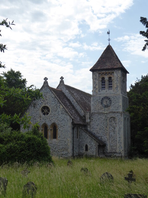
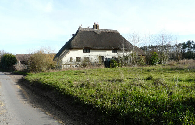
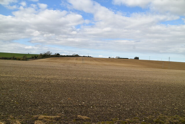
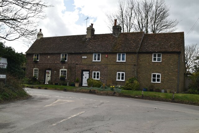
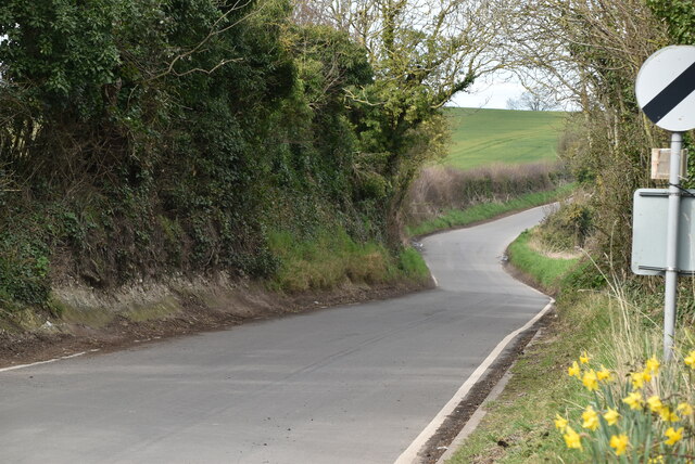
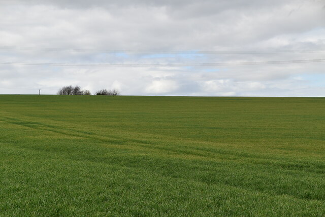
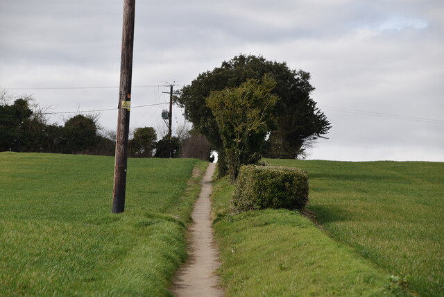
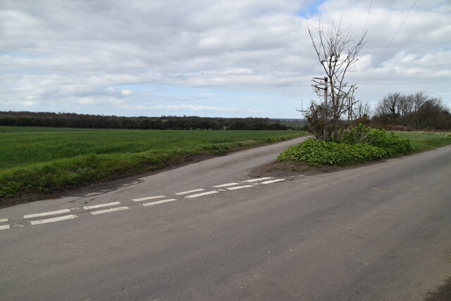
Betteshanger Images

Images are sourced within 2km of 51.226443/1.311416 or Grid Reference TR3152. Thanks to Geograph Open Source API. All images are credited.

Thornton Road south of Eastry
Betteshanger, St Mary the Virgin
Venson Farm A delightful example of a thatcher's art, depicting a cat ascending the roof to reach two hares on the ridge.
Venson Farm
A delightful example of a thatcher's art, depicting a cat ascending the roof to reach two hares on the ridge.
"Tollgate Cottage", Tilmanstone A former Toll House on the Western side of Dover Road, a bypassed loop of the old A256 just North of St Mary's Grove. Originally it would have served the Dover to Sandwich, through Waldershare Turnpike Trust.
A longer view from the South is <a href="https://www.geograph.org.uk/photo/1214732">TR3051 : View N along Dover Road, Tilmanstone</a>.

Milestone Society National ID: KE.TIL
"Tollgate Cottage", Tilmanstone
A former Toll House on the Western side of Dover Road, a bypassed loop of the old A256 just North of St Mary's Grove. Originally it would have served the Dover to Sandwich, through Waldershare Turnpike Trust. A longer view from the South is TR3051 : View N along Dover Road, Tilmanstone. Milestone Society National ID: KE.TIL
Bare field
Bare field
Longdane Cottage Grade II listed.
Longdane Cottage
Grade II listed.
Northbourne rd
Northbourne rd
Northbourne Rd
Northbourne Rd
Footpath across field
New Mill Grade II listed.
New Mill
Grade II listed.
Footpath
Footpath
Arable field
Arable field
Arable field
Arable field
Footpath
Footpath
New Mill There are three main types of windmill in Great Britain: post mills, smock mills and tower mills.

The smock mill is of a timber-framed construction with weatherboarded, steeply sloping external walls.  It was built on a brick base.  A pivoting wooden top with sails moved independently of the main structure so that the sails could be positioned towards the wind.  This was controlled by a tail fan.

Windmill article <a title="https://www.geograph.org.uk/article/Windmills" href="https://www.geograph.org.uk/article/Windmills">Link</a>
New Mill
There are three main types of windmill in Great Britain: post mills, smock mills and tower mills. The smock mill is of a timber-framed construction with weatherboarded, steeply sloping external walls. It was built on a brick base. A pivoting wooden top with sails moved independently of the main structure so that the sails could be positioned towards the wind. This was controlled by a tail fan. Windmill article Link
Little betshanger
Little betshanger
Little Betshanger
Little Betshanger
Show me another place!

Betteshanger is located at Grid Ref: TR3152 (Lat: 51.226443, Lng: 1.311416)

Administrative County: Kent

District: Dover

Police Authority: Kent

What 3 Words

///playback.stand.guitars. Near Eastry, Kent

Related Wikis

Betteshanger

Betteshanger is a village and former civil parish. now in the parish of Northbourne, in the Dover district, in east Kent, UK, near Deal. It gave its name...

Updown early medieval cemetery

A 7th-century cemetery was discovered in Updown, Kent, United Kingdom, in the 1970s. It was excavated by Sonia Chadwick Hawkes and Brian Philp in advance...
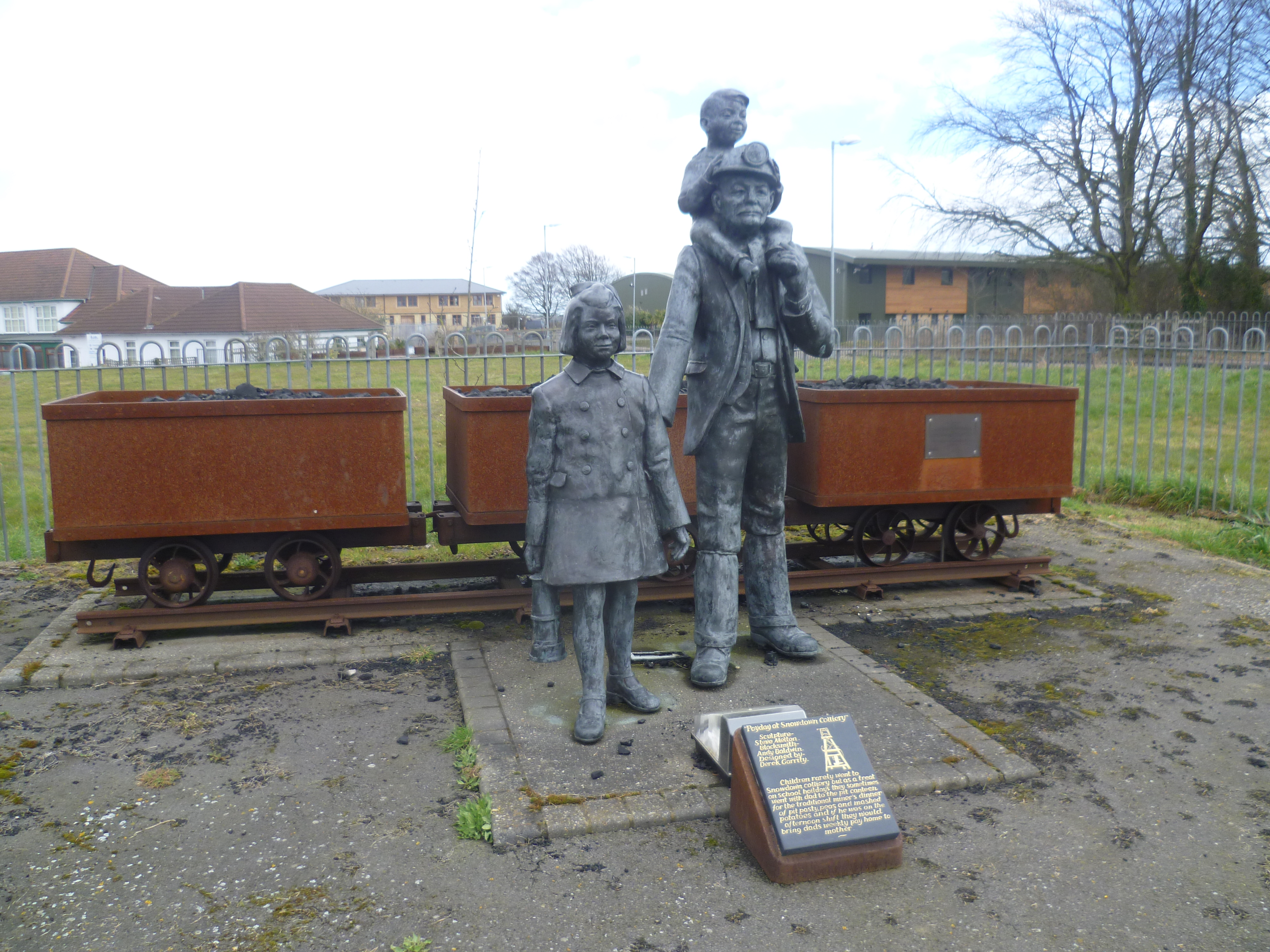
Kent Coalfield

The Kent Coalfield is a coalfield in the eastern part of the English county of Kent. The Coalfields Trust defines the Kent Coalfield as the wards of Barham...
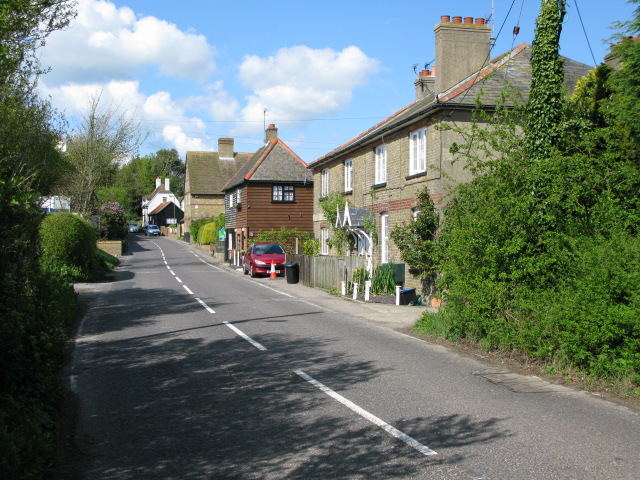
Buttsole

Buttsole is a hamlet within the civil parish of Eastry, south-west of Sandwich in Kent, England. It is a cluster of houses along Lower Street, south of...

Tilmanstone

Tilmanstone is a small village and civil parish in Kent, in the South East of England, near Eastry, a much bigger and more developed area. Tilmanstone...

New Mill, Northbourne

New Mill is a Grade II listed smock mill in Northbourne, Kent, England that was built in 1848 and which has been converted to residential accommodation...
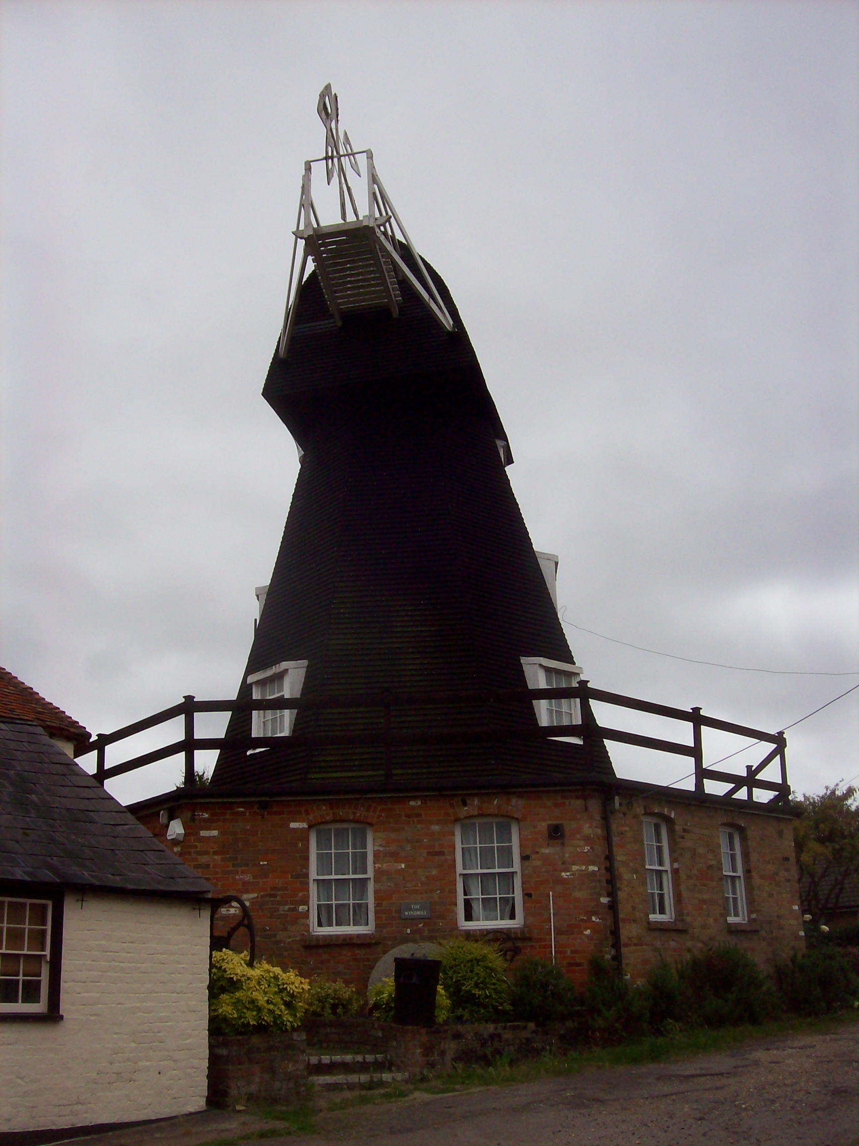
Upper Mill, Eastry

Upper Mill is a Grade II listed house converted smock mill in Eastry, Kent, England. It was built in the mid eighteenth century. == History == Upper Mill...
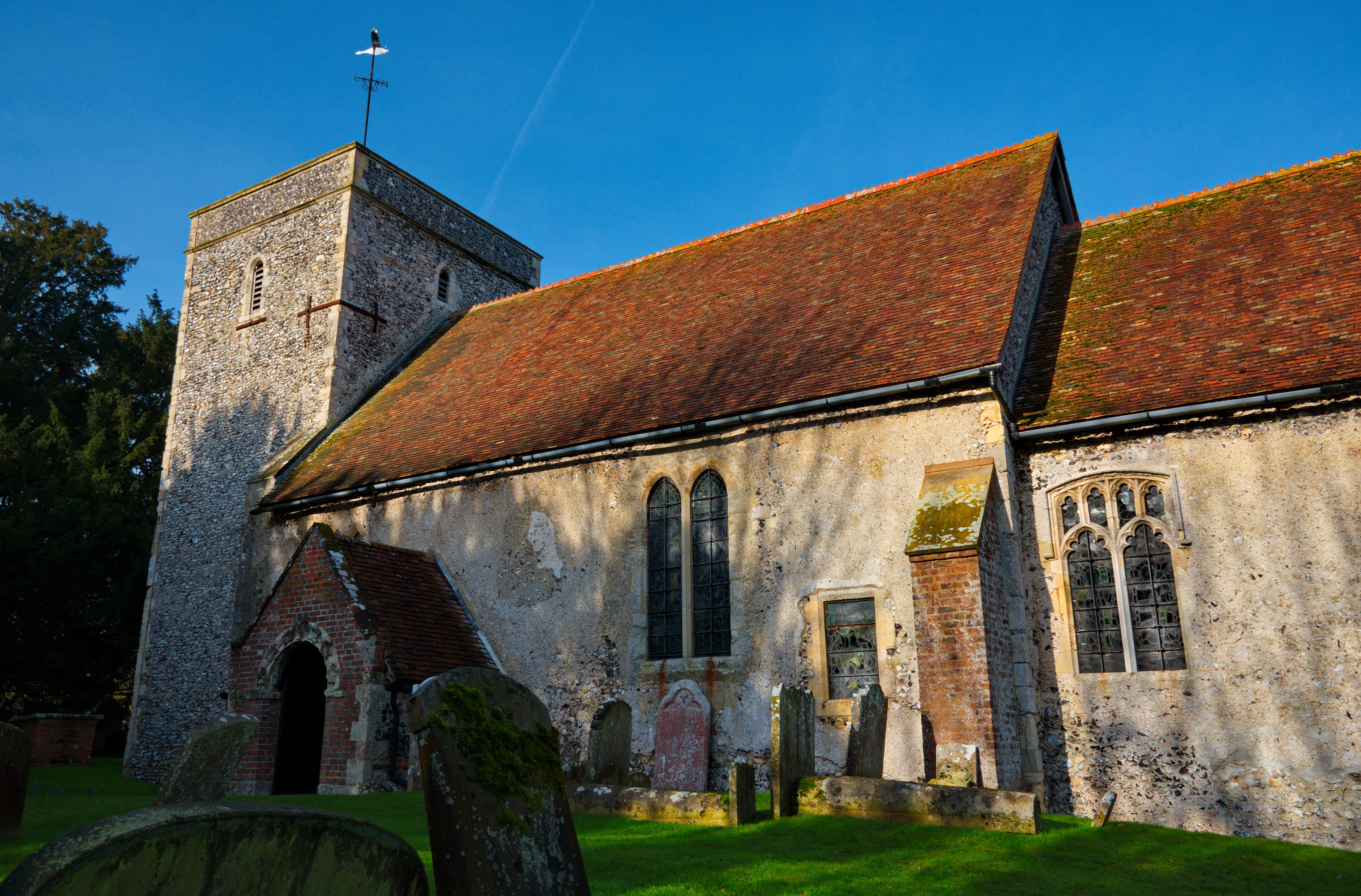
Northbourne, Kent

Northbourne is a village and civil parish near Deal in Kent, England. It has a public house, The Hare and Hounds, a primary school and is the home of the...

Nearby Amenities

Located within 500m of 51.226443,1.311416
Betteshanger
Is In: Kent, England, UK
Is In County: Kent
Is In District: Dover
Place: hamlet
Source: NPE maps
Wikidata: Q4898591
Lat/Long: 51.2278708/1.3120444
Post Box
Brand: Royal Mail
Brand Wikidata: Q638098
Collection Times: Mo-Fr 09:00; Sa 07:00
Operator: Royal Mail
Operator Wikidata: Q638098
Post Box Mounting: brick_pillar
Post Box Type: wall
Postal Code: CT14
Ref: CT14 51
Royal Cypher: VR
Royal Cypher Wikidata: Q33102356
Source: survey
Lat/Long: 51.226892/1.314055
The data included in this document is from www.openstreetmap.org. The data is made available under ODbL.

Have you been to Betteshanger?

Leave your review of Betteshanger below (or comments, questions and feedback).