Nomansland

Settlement in Wiltshire

England

Nomansland

Bowl Barrow on Black Bush Plain (Scales 1m) <span class="nowrap"><a title="https://historicengland.org.uk/listing/the-list/list-entry/1012584?section=official-listing" rel="nofollow ugc noopener" href="https://historicengland.org.uk/listing/the-list/list-entry/1012584?section=official-listing">Link</a><img style="margin-left:2px;" alt="External link" title="External link - shift click to open in new window" src="https://s1.geograph.org.uk/img/external.png" width="10" height="10"/></span>
Bowl Barrow on Black Bush Plain Credit: Sandy Gerrard

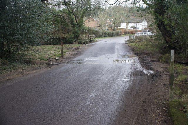
Nomansland is a small village located in the county of Wiltshire, England. Situated in the heart of the New Forest National Park, it is nestled between the towns of Salisbury and Southampton. With a population of around 800 residents, it is known for its peaceful atmosphere and charming countryside surroundings.

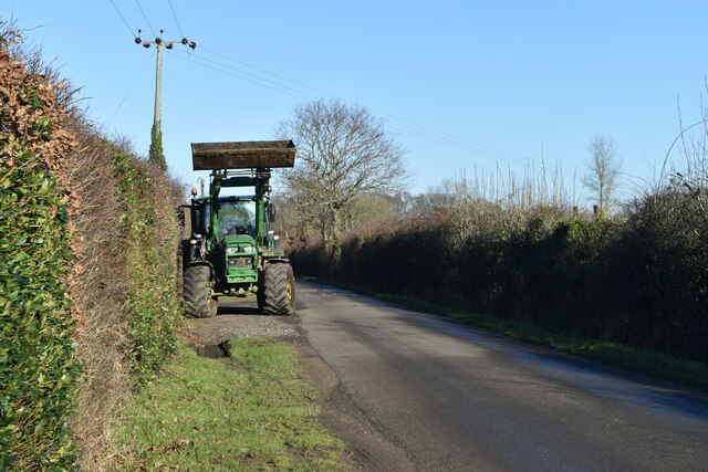
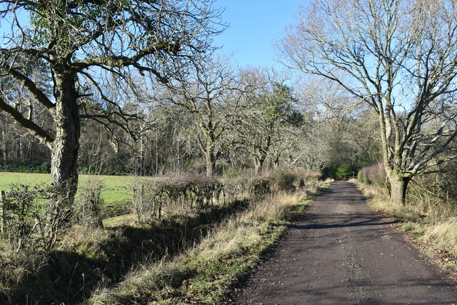
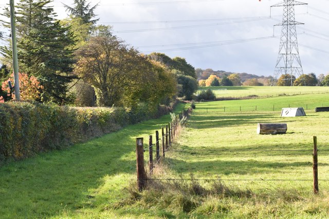
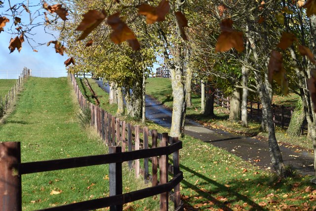
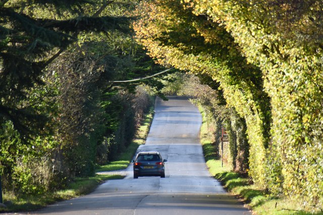
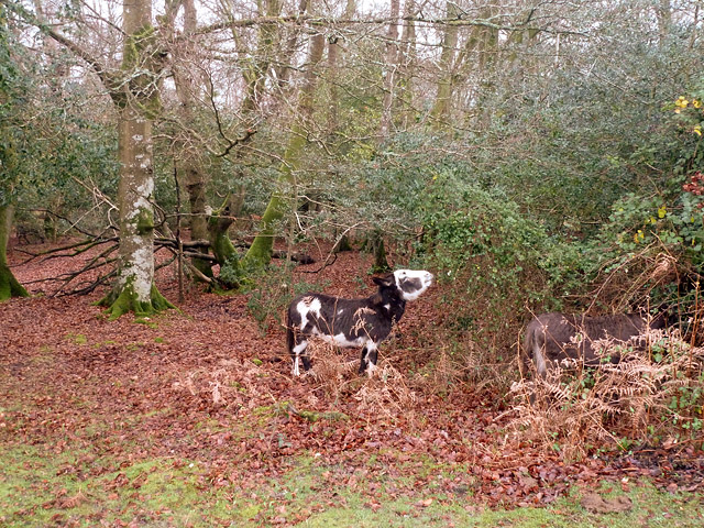
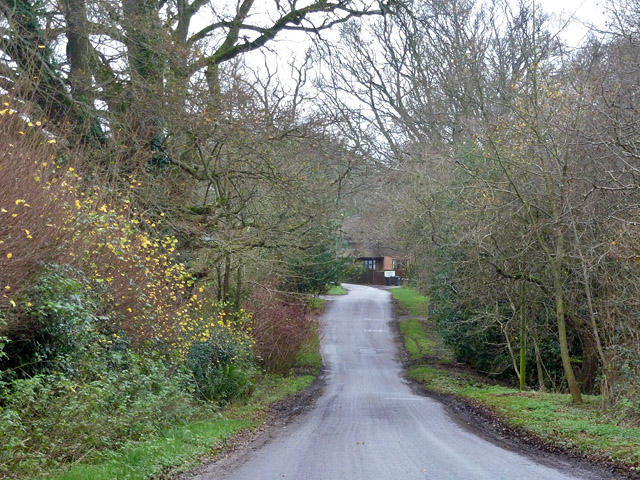
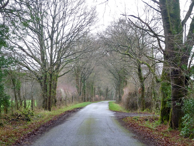
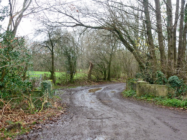
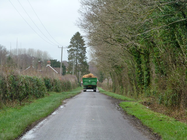
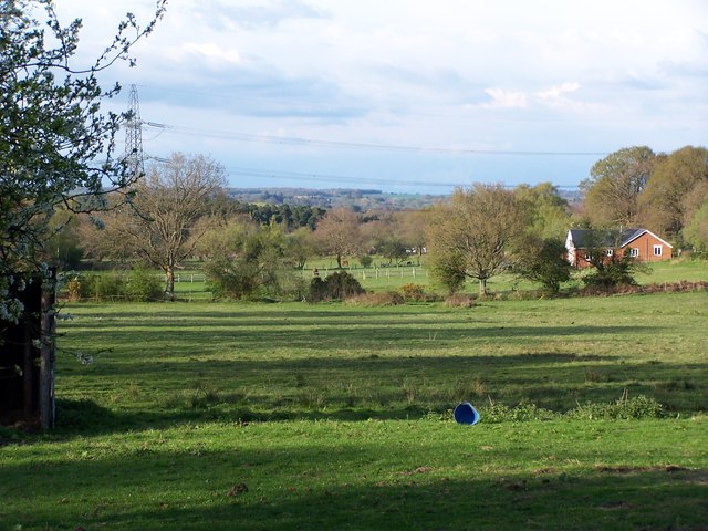
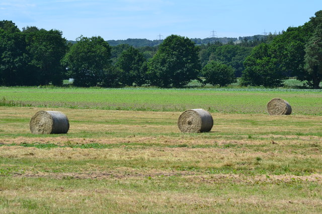
The village is surrounded by lush green fields and dense woodland, making it an ideal location for nature lovers and outdoor enthusiasts. The New Forest itself offers ample opportunities for walking, cycling, and horse riding, with numerous trails and paths crisscrossing the area. Wildlife is abundant, and visitors may spot deer, ponies, and a variety of bird species.

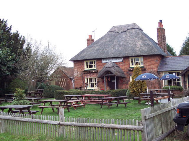
Nomansland has a rich history that dates back centuries. It is believed to have derived its name from the common land that once existed in the area, where livestock was grazed. The village features a mix of traditional thatched cottages and more modern dwellings, giving it a unique character. The local community is close-knit and hosts various events and activities throughout the year, including a summer fete and village dances.

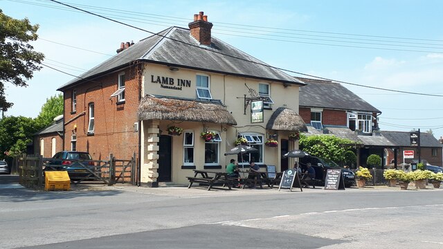
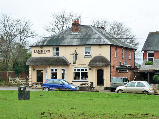
Amenities in Nomansland include a village shop, a post office, and a pub, which serves as a hub for socializing and enjoying local cuisine. For those seeking further amenities, the nearby towns of Salisbury and Southampton offer a wider range of services, shops, and entertainment options.

Overall, Nomansland provides a tranquil and picturesque setting for residents and visitors alike, with its natural beauty and friendly community spirit.

If you have any feedback on the listing, please let us know in the comments section below.

Nomansland Images

Images are sourced within 2km of 50.958294/-1.641021 or Grid Reference SU2517. Thanks to Geograph Open Source API. All images are credited.

Bowl Barrow on Black Bush Plain (Scales 1m) <span class="nowrap"><a title="https://historicengland.org.uk/listing/the-list/list-entry/1012584?section=official-listing" rel="nofollow ugc noopener" href="https://historicengland.org.uk/listing/the-list/list-entry/1012584?section=official-listing">Link</a><img style="margin-left:2px;" alt="External link" title="External link - shift click to open in new window" src="https://s1.geograph.org.uk/img/external.png" width="10" height="10"/></span>
Bowl Barrow on Black Bush Plain
(Scales 1m) LinkExternal link
Tractor on the verge of Lyburn Lane
Track towards Horse Common
The Lamb Inn, Nomansland
Field edge beside New Road, Landford
Tree-lined drive to Landford Common Farm The farm buildings house various small industrial units.
Tree-lined drive to Landford Common Farm
The farm buildings house various small industrial units.
New Road, Landford
New Road, Landford
Donkeys browsing By the Lords Oak car park, which was closed. There are two, the one on the right, well in to the vegetation, is not so obvious.
Donkeys browsing
By the Lords Oak car park, which was closed. There are two, the one on the right, well in to the vegetation, is not so obvious.
The Lamb Inn, Nomansland On The Green.
The Lamb Inn, Nomansland
On The Green.
Shorts Hill Heading west from Nomansland.
Shorts Hill
Heading west from Nomansland.
Lyburn Road Heading towards Hamptworth.
Lyburn Road
Heading towards Hamptworth.
Start of public byway Round the corner the track splits two ways. One is to Lover, and the other through woodland to the open New Forest.
Start of public byway
Round the corner the track splits two ways. One is to Lover, and the other through woodland to the open New Forest.
Farm traffic on Lyburn Road This came out of Lyburn Farm and looks like a load of stable manure.
Farm traffic on Lyburn Road
This came out of Lyburn Farm and looks like a load of stable manure.
Ford at Hamptworth This is the first of three fords found at Hamptworth. A video of the ford can be seen at:
<span class="nowrap"><a title="https://youtu.be/TXcIwnRXcFw" rel="nofollow ugc noopener" href="https://youtu.be/TXcIwnRXcFw">Link</a><img style="margin-left:2px;" alt="External link" title="External link - shift click to open in new window" src="https://s1.geograph.org.uk/img/external.png" width="10" height="10"/></span>
Ford at Hamptworth
This is the first of three fords found at Hamptworth. A video of the ford can be seen at: LinkExternal link
Ford at Hamptworth This ford on Lyburn Road is the second of the three fords at Hamptworth.
Ford at Hamptworth
This ford on Lyburn Road is the second of the three fords at Hamptworth.
View across fields on edge of Nomansland
Yew Tree Cottage I wonder why they called it that?
Yew Tree Cottage
I wonder why they called it that?
Bales in field beside Latchmore Drove
Show me another place!

Nomansland is located at Grid Ref: SU2517 (Lat: 50.958294, Lng: -1.641021)

Unitary Authority: Wiltshire

Police Authority: Wiltshire

What 3 Words

///cleanser.marinated.marshes. Near West Wellow, Hampshire

Nearby Locations

Woodside Bottom Nomansland

Related Wikis

Nomansland, Wiltshire

Nomansland is a small village in Wiltshire, England, close to the county border with Hampshire. It is part of the parish of Landford and lies about 3.5...

Landford Bog

Landford Bog (grid reference SU259185) is an 11.6 hectare biological Site of Special Scientific Interest at Landford in southeast Wiltshire, England. It...

Landford

Landford is a village and civil parish 10 miles (16 km) southeast of Salisbury in Wiltshire, England. To the south and east of the parish is the county...

Landford Heath

Landford Heath (grid reference SU265178) is an 11.75 hectare biological Site of Special Scientific Interest near Landford in southeast Wiltshire, England...

Hamptworth

Hamptworth is a hamlet in Wiltshire, England, in the extreme southeast of the county. It is in the civil parish of Landford, and lies within the boundaries...

Bramshaw

Bramshaw is a small village and civil parish in Hampshire, England. It lies just inside the New Forest. The name Bramshaw means Bramble Wood. Until 1895...
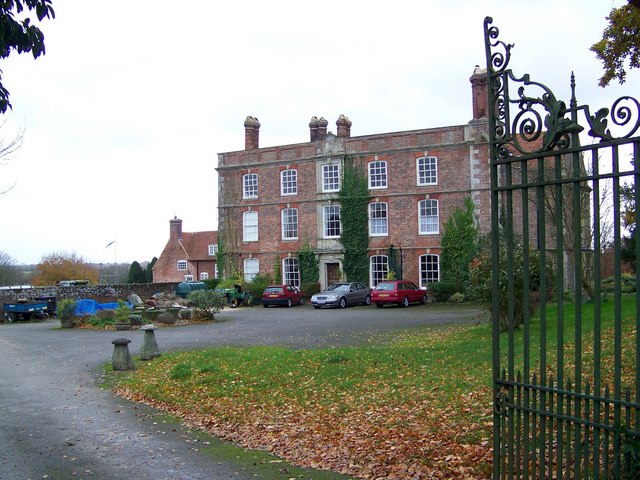
Landford Manor

Landford Manor is a Grade II* listed house in Stock Lane, Landford, Wiltshire, England. It dates from around 1600, the south wing from around 1680, with...

Plaitford

Plaitford is a small village and former civil parish, now in the parish of Melchet Park and Plaitford, in the Test Valley district of Hampshire, England...

Nearby Amenities

Located within 500m of 50.958294,-1.641021
Barrier: cattle_grid
Bicycle: yes
Motorcar: yes
Lat/Long: 50.9589622/-1.6350966
Nomansland
Place: village
Wikidata: Q11792765
Wikipedia: en:Nomansland, Wiltshire
Lat/Long: 50.9556577/-1.6413037
Post Box
Operator: Royal Mail
Operator Wikidata: Q638098
Post Box Type: lamp
Ref: SP5 326D
Royal Cypher: EIIR
Royal Cypher Wikidata: Q33102113
Lat/Long: 50.9558591/-1.6397351
Barrier: cattle_grid
Bicycle: yes
Motorcar: yes
Lat/Long: 50.9555768/-1.6404577
Power: tower
Source: Bing
Lat/Long: 50.9614438/-1.6444846
Bus Stop
The Lamb Inn
Bus: yes
Naptan AtcoCode: 1900HA080172
Naptan Bearing: N
Naptan CommonName: The Lamb Inn
Naptan Crossing: South Lane
Naptan Landmark: Opp War Memorial
Naptan NaptanCode: hamagdjm
Naptan Street: Forest Road
Naptan Verified: no
Source: naptan_import
Lat/Long: 50.9545359/-1.640822
Bus Stop
The Lamb Inn
Bus: yes
Naptan AtcoCode: 1900HA080173
Naptan Bearing: SW
Naptan BusStopType: CUS
Naptan CommonName: The Lamb Inn
Naptan Landmark: Adj War Memorial
Naptan NaptanCode: hamagdjt
Naptan Street: Forest Road
Naptan Verified: no
Source: naptan_import
Lat/Long: 50.9544814/-1.6406373
Turning Circle
Lat/Long: 50.9601246/-1.6364595
Power: tower
Source: Bing
Lat/Long: 50.9621187/-1.6393339
Historic: monument
Lat/Long: 50.9550258/-1.6394012
Maxspeed: 30 mph
Source: kartaview
Traffic Sign: maxspeed
Traffic Sign Direction: forward
Lat/Long: 50.9592243/-1.6349168
Rev. H M Livens
Historic: memorial
Memorial: plaque
Openplaques Id: 42148
Lat/Long: 50.9557278/-1.6412276
Post Box
Operator: Royal Mail
Operator Wikidata: Q638098
Post Box Type: lamp
Ref: SP5 409
Royal Cypher: EIIR
Royal Cypher Wikidata: Q33102113
Lat/Long: 50.9564366/-1.6440574
Historic: boundary_stone
Lat/Long: 50.956445/-1.6441512
Nomansland Pre-School
Addr City: Nomansland
Addr Housename: The Methodist Chapel Hall
Addr Postcode: SP5 2BP
Addr Street: Forest Road
Email: admin@nomanslandpreschool.co.uk
Office: educational_institution
Phone: +44 1794 390108
Website: http://www.nomanslandpreschool.co.uk/
Lat/Long: 50.9550328/-1.6410837
Door: yes
Indoor: door
Lat/Long: 50.9599369/-1.636573
Defibrillator
Booth: K6
Covered: booth
Defibrillator Location: inside old red phone box by green, Nomansland
Emergency: defibrillator
Man Made: telephone_box
Lat/Long: 50.955842/-1.6397531
Power: pole
Lat/Long: 50.9618608/-1.6376971
Power: pole
Lat/Long: 50.9611107/-1.6389307
Power: pole
Lat/Long: 50.9604163/-1.6400491
Power: pole
Lat/Long: 50.9596854/-1.640798
Power: pole
Lat/Long: 50.9588917/-1.6414111
Power: pole
Lat/Long: 50.9580287/-1.6413852
Power: pole
Lat/Long: 50.9573355/-1.6406582
Power: pole
Lat/Long: 50.9568557/-1.6400837
Barrier: yes
Lat/Long: 50.9578456/-1.6382908
Barrier: wicket_gate
Bicycle: yes
Foot: yes
Lat/Long: 50.9555549/-1.6404752
The data included in this document is from www.openstreetmap.org. The data is made available under ODbL.

Have you been to Nomansland?

Leave your review of Nomansland below (or comments, questions and feedback).