Woodside Bottom

Valley in Hampshire New Forest

England

Woodside Bottom

Leaf-covered floor of Deazle Wood
Leaf-covered floor of Deazle Wood Credit: David Martin

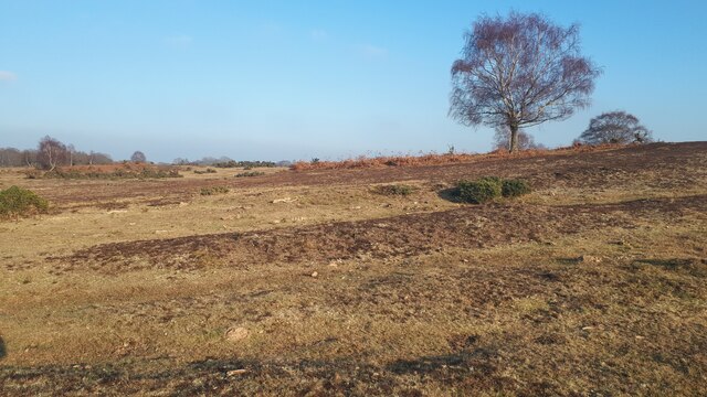
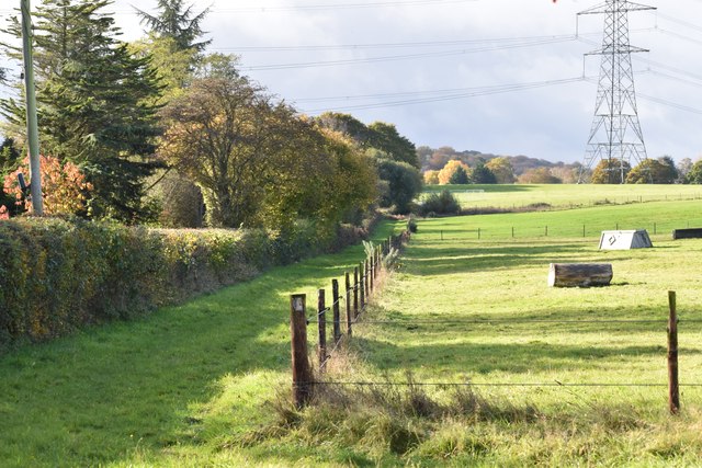
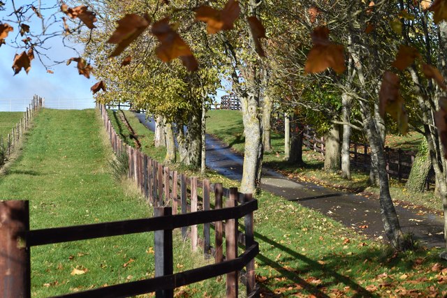
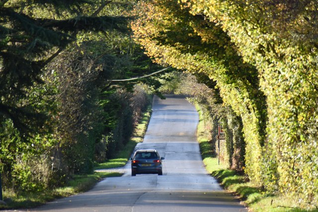
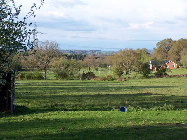
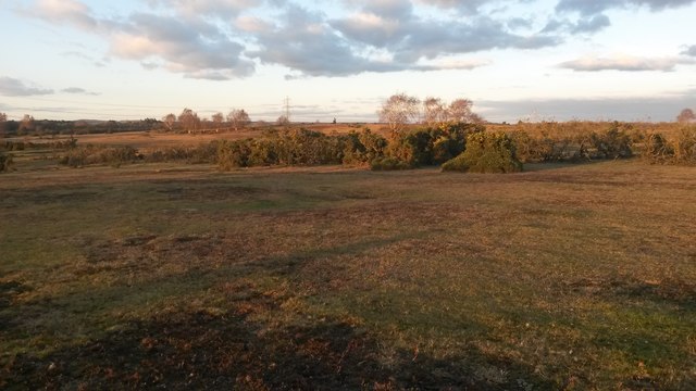
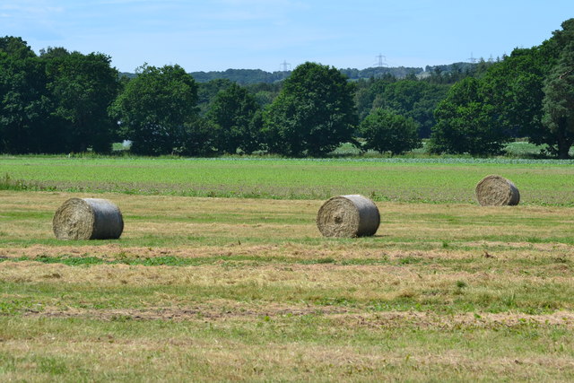
Woodside Bottom is a picturesque valley located in the county of Hampshire, England. Nestled in the heart of the South Downs National Park, this idyllic landscape offers visitors a tranquil retreat away from the hustle and bustle of city life. The valley is surrounded by rolling hills and dense woodlands, creating a stunning backdrop for outdoor enthusiasts and nature lovers.

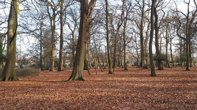
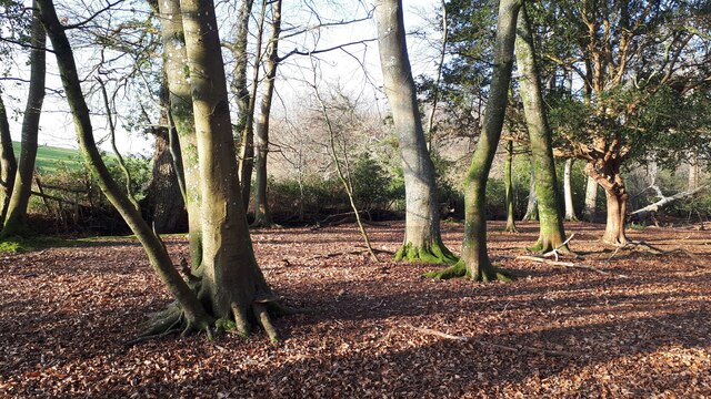
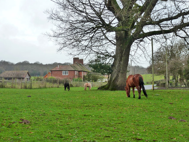
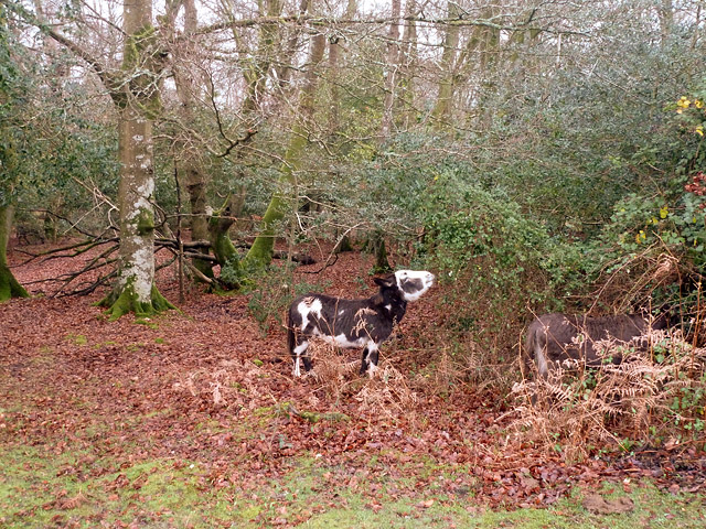
The area is known for its rich biodiversity, with a variety of plant and animal species calling Woodside Bottom their home. The valley is particularly famous for its ancient beech trees, some of which are estimated to be over 300 years old. These majestic trees provide shade and create a serene atmosphere, making it a popular spot for picnics and leisurely walks.

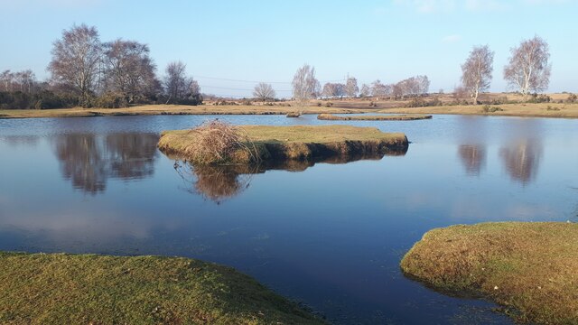
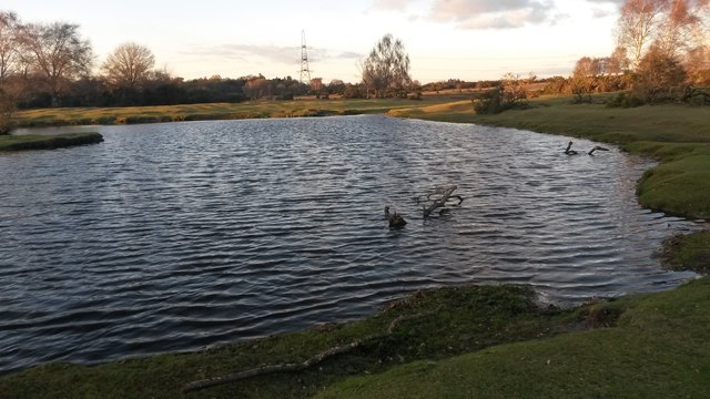
Woodside Bottom is also home to a small stream that meanders through the valley, adding to its natural beauty. The stream attracts an array of wildlife, including ducks, herons, and even the occasional kingfisher, delighting birdwatchers and photographers alike.

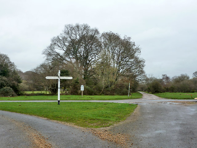
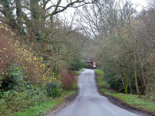
For outdoor enthusiasts, the valley offers numerous walking trails and cycling routes, allowing visitors to explore the surrounding countryside. The area is also popular for horse riding, with several equestrian centers offering guided tours and lessons.

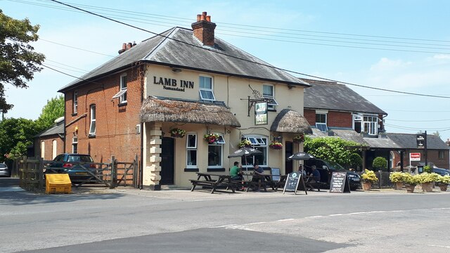
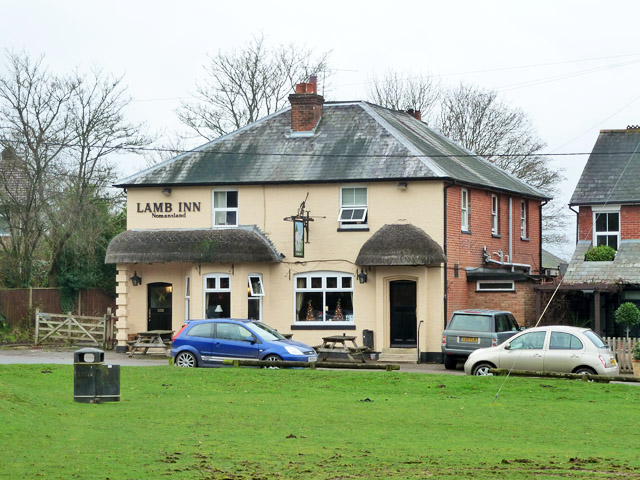
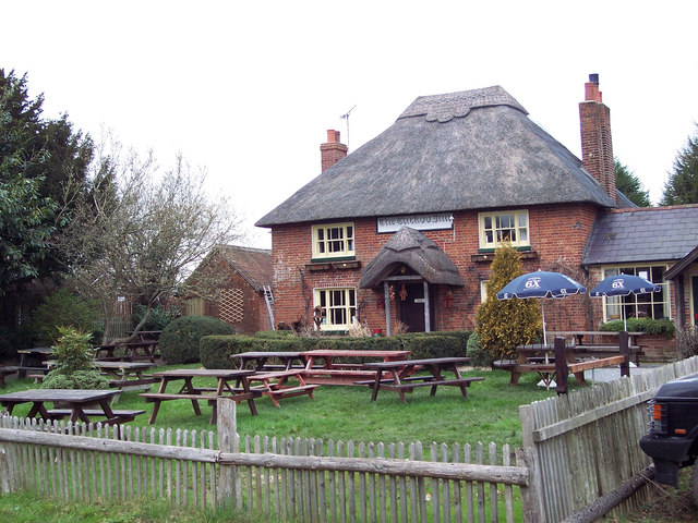
In addition to its natural attractions, Woodside Bottom is conveniently located near several charming villages and historic sites. Visitors can explore nearby market towns, visit traditional pubs, or take a trip to the nearby historic city of Winchester. With its stunning scenery and abundant wildlife, Woodside Bottom is a hidden gem that offers a peaceful retreat for those seeking a connection with nature.

If you have any feedback on the listing, please let us know in the comments section below.

Woodside Bottom Images

Images are sourced within 2km of 50.957947/-1.634077 or Grid Reference SU2517. Thanks to Geograph Open Source API. All images are credited.

Leaf-covered floor of Deazle Wood
Afternoon light in Deazle Wood
Sturtmoor Pond
Sturtmoor Pond
Near the summit of Plaitford Common
The Lamb Inn, Nomansland
Direction Sign – Signpost on Penn Common, Bramshaw Located in the centre of the crossroads at Penn Common in Bramshaw parish. 3 arms and disc finial.

Milestone Society National ID: HA_SU2716
Direction Sign – Signpost on Penn Common, Bramshaw
Located in the centre of the crossroads at Penn Common in Bramshaw parish. 3 arms and disc finial. Milestone Society National ID: HA_SU2716
Field edge beside New Road, Landford
Tree-lined drive to Landford Common Farm The farm buildings house various small industrial units.
Tree-lined drive to Landford Common Farm
The farm buildings house various small industrial units.
New Road, Landford
New Road, Landford
New Forest ponies On the green by Parsonage Farm.
New Forest ponies
On the green by Parsonage Farm.
Crossroads, Penn Marsh Straight on is a dead-end. Left goes to Nomansland, right to Penn Common and Furzley. This is a National Trust tract of land.
Crossroads, Penn Marsh
Straight on is a dead-end. Left goes to Nomansland, right to Penn Common and Furzley. This is a National Trust tract of land.
Donkeys browsing By the Lords Oak car park, which was closed. There are two, the one on the right, well in to the vegetation, is not so obvious.
Donkeys browsing
By the Lords Oak car park, which was closed. There are two, the one on the right, well in to the vegetation, is not so obvious.
The Lamb Inn, Nomansland On The Green.
The Lamb Inn, Nomansland
On The Green.
Shorts Hill Heading west from Nomansland.
Shorts Hill
Heading west from Nomansland.
View across fields on edge of Nomansland
Autumn dusk at Sturtmoor Pond
Last of the light on Plaitford Common And bitterly cold!
Last of the light on Plaitford Common
And bitterly cold!
Bales in field beside Latchmore Drove
Show me another place!

Woodside Bottom is located at Grid Ref: SU2517 (Lat: 50.957947, Lng: -1.634077)

Administrative County: Hampshire

District: New Forest

Police Authority: Hampshire

What 3 Words

///ejects.officials.rephrase. Near West Wellow, Hampshire

Nearby Locations

Woodside Bottom Nomansland

Related Wikis

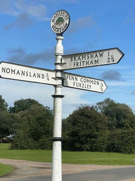
Nomansland, Wiltshire

Nomansland is a small village in Wiltshire, England, close to the county border with Hampshire. It is part of the parish of Landford and lies about 3.5...

Landford Heath

Landford Heath (grid reference SU265178) is an 11.75 hectare biological Site of Special Scientific Interest near Landford in southeast Wiltshire, England...

Landford Bog

Landford Bog (grid reference SU259185) is an 11.6 hectare biological Site of Special Scientific Interest at Landford in southeast Wiltshire, England. It...

Landford

Landford is a village and civil parish 10 miles (16 km) southeast of Salisbury in Wiltshire, England. To the south and east of the parish is the county...

Bramshaw

Bramshaw is a small village and civil parish in Hampshire, England. It lies just inside the New Forest. The name Bramshaw means Bramble Wood. Until 1895...

Hamptworth

Hamptworth is a hamlet in Wiltshire, England, in the extreme southeast of the county. It is in the civil parish of Landford, and lies within the boundaries...

Landford Manor

Landford Manor is a Grade II* listed house in Stock Lane, Landford, Wiltshire, England. It dates from around 1600, the south wing from around 1680, with...

Plaitford

Plaitford is a small village and former civil parish, now in the parish of Melchet Park and Plaitford, in the Test Valley district of Hampshire, England...

Nearby Amenities

Located within 500m of 50.957947,-1.634077
Barrier: cattle_grid
Bicycle: yes
Motorcar: yes
Lat/Long: 50.9589622/-1.6350966
Post Box
Operator: Royal Mail
Operator Wikidata: Q638098
Post Box Type: lamp
Ref: SP5 326D
Royal Cypher: EIIR
Royal Cypher Wikidata: Q33102113
Lat/Long: 50.9558591/-1.6397351
Parking
Bramshaw Wood
Parking: surface
Lat/Long: 50.9545786/-1.6346277
Bus Stop
Lords Oak
Bus: yes
Naptan AtcoCode: 1900HA080170
Naptan Bearing: S
Naptan CommonName: Lords Oak
Naptan NaptanCode: hamagdwj
Naptan Street: B3079
Naptan Verified: no
Source: naptan_import
Lat/Long: 50.9571831/-1.630365
Bus Stop
Lords Oak
Bus: yes
Naptan AtcoCode: 1900HA080171
Naptan Bearing: N
Naptan CommonName: Lords Oak
Naptan NaptanCode: hamagdwa
Naptan Street: B3079
Naptan Verified: no
Source: naptan_import
Lat/Long: 50.9571653/-1.6304363
Turning Circle
Lat/Long: 50.9601246/-1.6364595
Post Box
Mapillary: 1155315401651730
Operator: Royal Mail
Operator Wikidata: Q638098
Post Box Mounting: pier
Post Box Type: lamp
Ref: SP5 317
Source: Bing
Survey Date: 2021-04-30
Lat/Long: 50.9607598/-1.6316987
Barrier: cattle_grid
Bicycle: yes
Foot: yes
Horse: yes
Motorcar: yes
Motorcycle: yes
Lat/Long: 50.9584388/-1.6308058
Historic: monument
Lat/Long: 50.9550258/-1.6394012
Maxspeed: 30 mph
Source: kartaview
Traffic Sign: maxspeed
Traffic Sign Direction: forward
Lat/Long: 50.9592243/-1.6349168
Barrier: cattle_grid
Lat/Long: 50.957711/-1.6305966
Door: yes
Indoor: door
Lat/Long: 50.9599369/-1.636573
Defibrillator
Booth: K6
Covered: booth
Defibrillator Location: inside old red phone box by green, Nomansland
Emergency: defibrillator
Man Made: telephone_box
Lat/Long: 50.955842/-1.6397531
Power: pole
Lat/Long: 50.9611107/-1.6389307
Power: pole
Lat/Long: 50.9604163/-1.6400491
Power: pole
Lat/Long: 50.9573355/-1.6406582
Power: pole
Lat/Long: 50.9568557/-1.6400837
Barrier: yes
Lat/Long: 50.9578456/-1.6382908
The data included in this document is from www.openstreetmap.org. The data is made available under ODbL.

Have you been to Woodside Bottom?

Leave your review of Woodside Bottom below (or comments, questions and feedback).