Tunas Dale
Valley in Shetland
Scotland
Tunas Dale

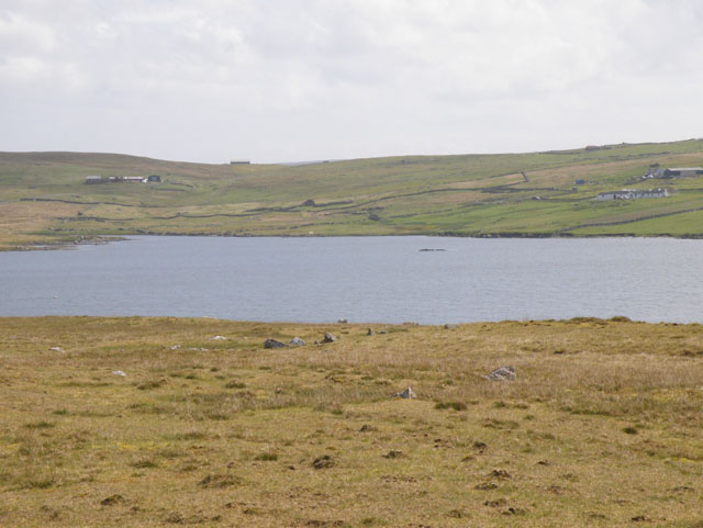
Tunas Dale, also known as Tunas Valley, is a picturesque location situated in the Shetland Islands, an archipelago in Scotland. Nestled in the northernmost part of the British Isles, Tunas Dale offers breathtaking views and a tranquil atmosphere that attracts both locals and tourists alike.
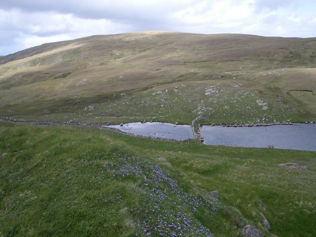
The valley is located on the mainland of Shetland, approximately 10 miles north of the island's capital, Lerwick. It is surrounded by rolling hills and adorned with lush greenery, making it a haven for nature enthusiasts. The valley is home to a diverse array of wildlife, including various species of birds, seals, and otters.
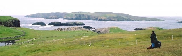
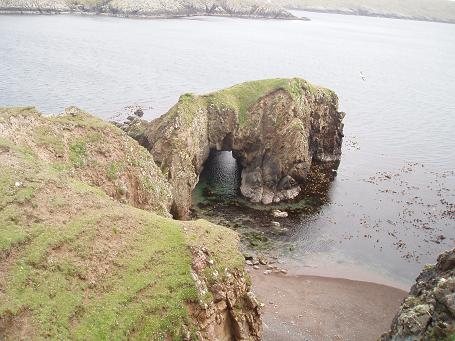
Tunas Dale is known for its stunning landscapes, characterized by its rugged coastline, dramatic cliffs, and pristine beaches. The valley is also intersected by a meandering river, adding to its natural charm. Visitors can explore the area by taking leisurely walks or embarking on more challenging hikes, allowing them to fully immerse themselves in the beauty of the surroundings.
In addition to its natural wonders, Tunas Dale is dotted with historic sites and archaeological remains, providing a glimpse into the area's rich history. The valley has remnants of ancient settlements, standing stones, and burial cairns, which have attracted archaeologists and history enthusiasts for decades.
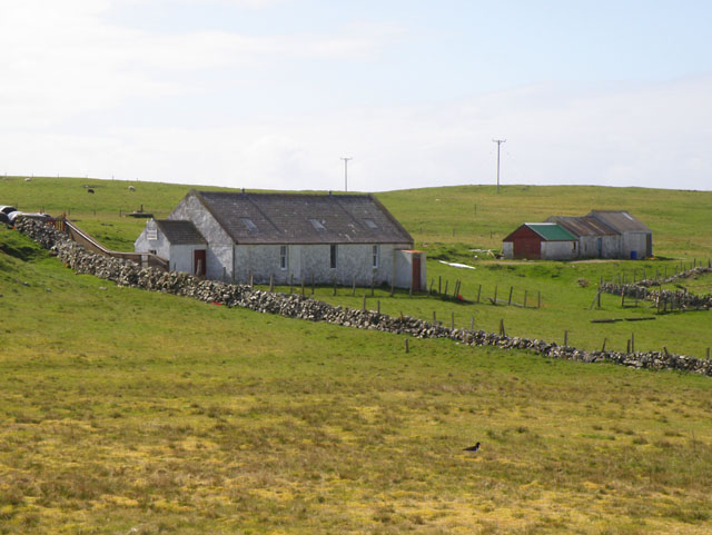
For those seeking a peaceful retreat, Tunas Dale offers a few accommodations, including self-catering cottages and bed and breakfast establishments. The valley provides a perfect escape from the hustle and bustle of everyday life, allowing visitors to relax and recharge amidst stunning natural scenery.
If you have any feedback on the listing, please let us know in the comments section below.
Tunas Dale Images
Images are sourced within 2km of 60.20172/-1.5316711 or Grid Reference HU2646. Thanks to Geograph Open Source API. All images are credited.


Tunas Dale is located at Grid Ref: HU2646 (Lat: 60.20172, Lng: -1.5316711)
Unitary Authority: Shetland Islands
Police Authority: Highlands and Islands
What 3 Words
///denote.obstruct.invested. Near Walls, Shetland Islands
Nearby Locations
Related Wikis

Broch of Culswick
The Broch of Culswick (also Culswick Broch) is an unexcavated coastal broch in the Shetland Islands of Scotland (grid reference HU25384481). It has...

Linga, Vaila Sound
Linga is one of the Shetland Islands, near Vaila and Walls on Mainland, Shetland. Its highest elevation is 28 metres (91 ft). In 2014 and 2018 it was...

Vaila
Vaila (Old Norse: "Valey") is an island in Shetland, Scotland, lying south of the Westland peninsula of the Shetland Mainland. It has an area of 327 hectares...
Gruting
Gruting is a hamlet on the island of Mainland, Shetland in Scotland. It is about 1 kilometre (0.62 mi) southwest of the archaeological site of Stanydale...

Walls, Shetland
Walls, known locally as Waas (Old Norse: Vagar = "Sheltered Bays" (voes) - the Ordnance Survey added the "ll" as they thought it was a corruption of "walls...
Burrastow
Burrastow is a location on the west shore of Vaila Sound near the village of Walls on the Shetland Mainland, Scotland. There are two small piers and the...
Browland
Browland is a village on Mainland in Shetland, Scotland situated about 1.9 miles (3 km) east north east of Walls. Browland is within the parish of Sandsting...

Westerwick
Westerwick is a settlement on Mainland in Shetland, Scotland. The settlement is within the parish of Sandsting. It faces south with high cliffs on both...
Have you been to Tunas Dale?
Leave your review of Tunas Dale below (or comments, questions and feedback).