Nomansland
Settlement in Hertfordshire St. Albans
England
Nomansland
Nomansland is a small village located in Hertfordshire, England. Situated in the district of Dacorum, it lies approximately 4 miles southwest of Hemel Hempstead. The village is nestled between the towns of Berkhamsted and St Albans, offering a tranquil and picturesque setting.
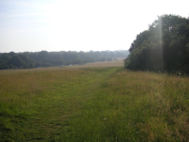
With a population of around 200 residents, Nomansland retains its rural charm, surrounded by open countryside and fields. The name "Nomansland" itself refers to the historic common land that once existed in the area, frequented by nomadic travelers.
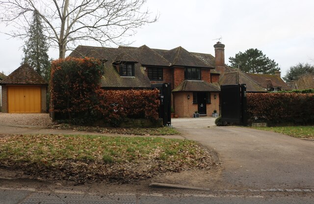
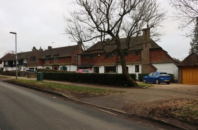
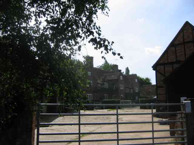
The village is characterized by its traditional architecture and historic buildings, including a 12th-century church, St Mary's, which adds to its quaint appeal. Additionally, there are several attractive cottages and farmhouses dotted throughout the area.
Nomansland benefits from its proximity to the nearby towns, providing access to various amenities such as shops, schools, and healthcare facilities. The village also boasts a friendly community spirit, with local events and social gatherings organized throughout the year.
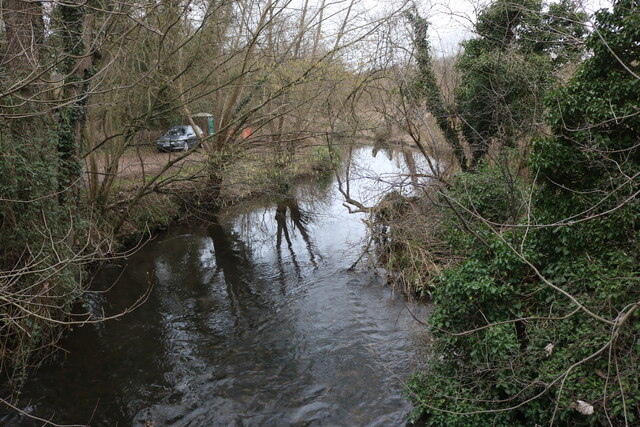
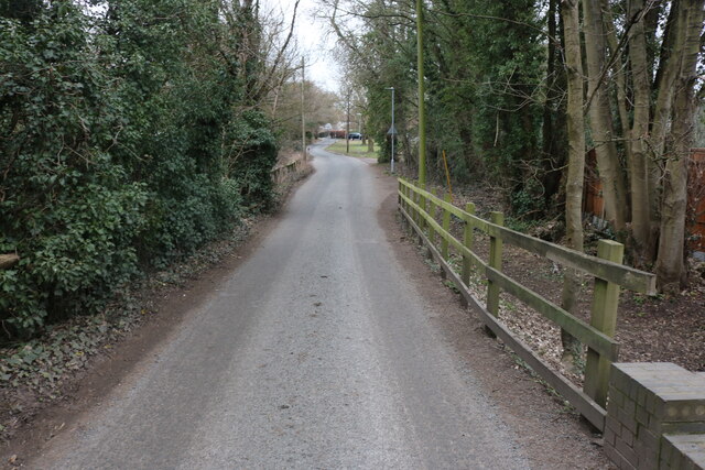
For nature enthusiasts, Nomansland offers ample opportunities for outdoor activities. The surrounding countryside provides scenic walking and cycling routes, allowing residents and visitors to explore the picturesque landscapes and enjoy the peaceful ambiance.
In summary, Nomansland is a charming village in Hertfordshire renowned for its rural beauty, historic buildings, and close-knit community. It offers a tranquil retreat from the hustle and bustle of nearby towns, making it an attractive place to live or visit for those seeking a peaceful, countryside getaway.
If you have any feedback on the listing, please let us know in the comments section below.
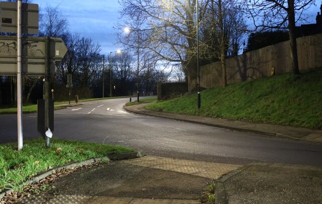
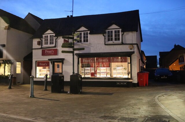
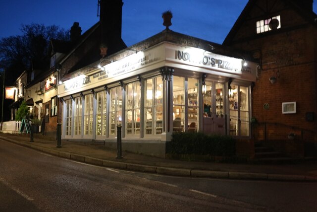
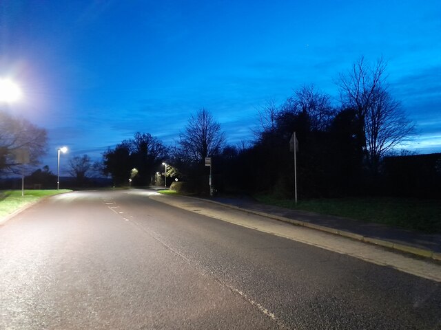
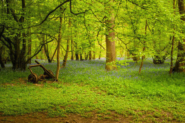
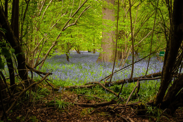
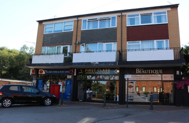
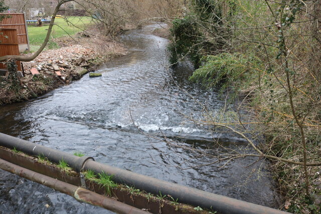
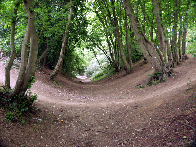
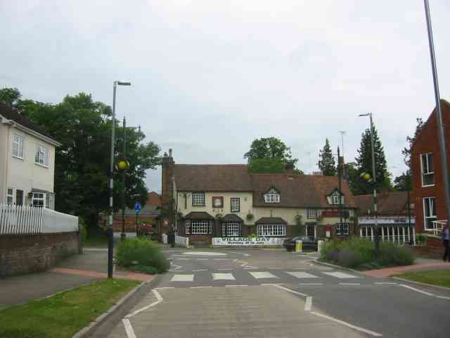
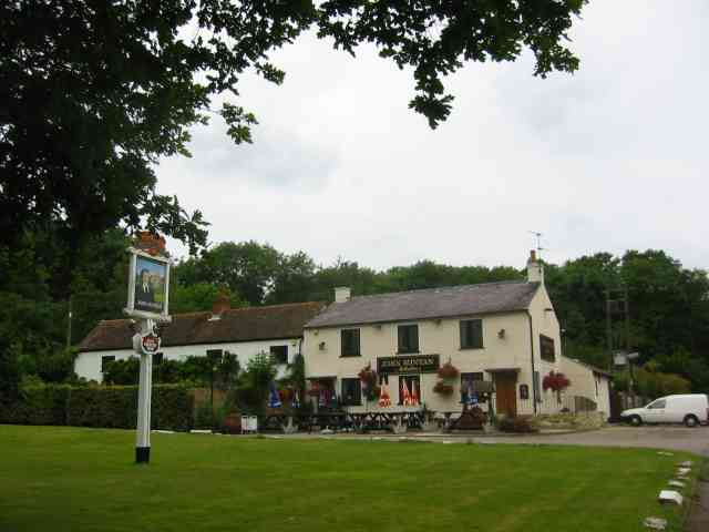
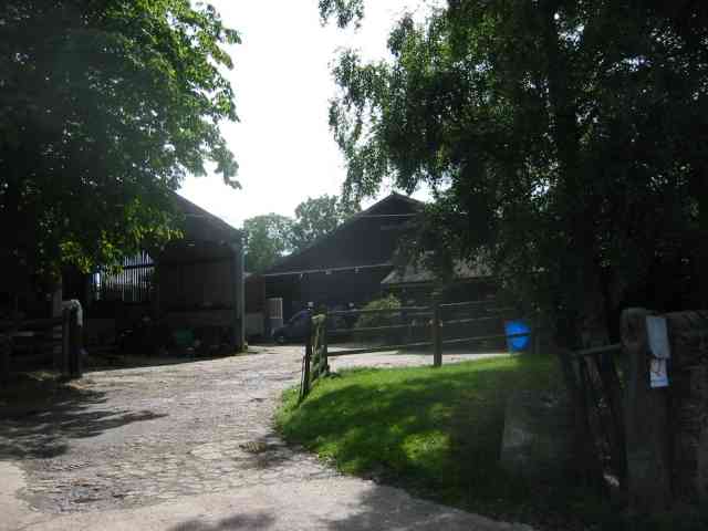
Nomansland Images
Images are sourced within 2km of 51.800605/-0.30394347 or Grid Reference TL1712. Thanks to Geograph Open Source API. All images are credited.

Nomansland is located at Grid Ref: TL1712 (Lat: 51.800605, Lng: -0.30394347)
Administrative County: Hertfordshire
District: St. Albans
Police Authority: Hertfordshire
What 3 Words
///chains.locate.pump. Near Wheathampstead, Hertfordshire
Nearby Locations
Related Wikis
Nomansland Common
Nomansland Common (sometimes simply called No Man's Land) is an area of common land in Hertfordshire, England to the south of Harpenden and the south-west...

Devil's Dyke, Hertfordshire
Devil's Dyke is the remains of a prehistoric defensive ditch which lies at the east side of the village of Wheathampstead, Hertfordshire, England. It is...

St Helen's Church, Wheathampstead
St Helen's Church is the oldest church in Wheathampstead, Hertfordshire, England, although the date of its origins is unknown. The wooden Anglo-Saxon structure...

Wheathampstead
Wheathampstead is a village and civil parish in Hertfordshire, England, north of St Albans. The population of the ward at the 2001 census was 6,058. Included...

Heartwood Forest
Heartwood Forest is a planned forest (woodland creation site) in Hertfordshire, England. The site covers 347 hectares (860 acres), the largest continuous...

Wheathampstead railway station
Wheathampstead railway station was a railway station serving Wheathampstead on the Great Northern Railway branch line to Dunstable. While little of it...
Sandridge Lychgate
Sandridge Lychgate is a war memorial in the village of Sandridge, Hertfordshire, England. The timber lychgate with its flanking walls is listed Grade II...

St Leonard's Church, Sandridge
St Leonard's Church is in Sandridge, a village in Hertfordshire, England. It is an active Anglican parish church. The building is Grade II* listed: notable...
Nearby Amenities
Located within 500m of 51.800605,-0.30394347Have you been to Nomansland?
Leave your review of Nomansland below (or comments, questions and feedback).