Newtown
Settlement in Hampshire Winchester
England
Newtown

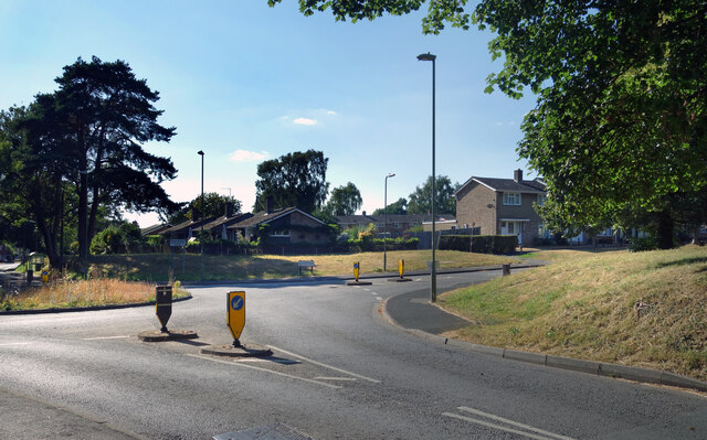
Newtown is a small village located in the county of Hampshire, in southern England. Situated approximately 10 miles northeast of the city of Winchester, Newtown is nestled within the picturesque countryside of the South Downs National Park. With a population of around 500 people, it maintains a close-knit community atmosphere.
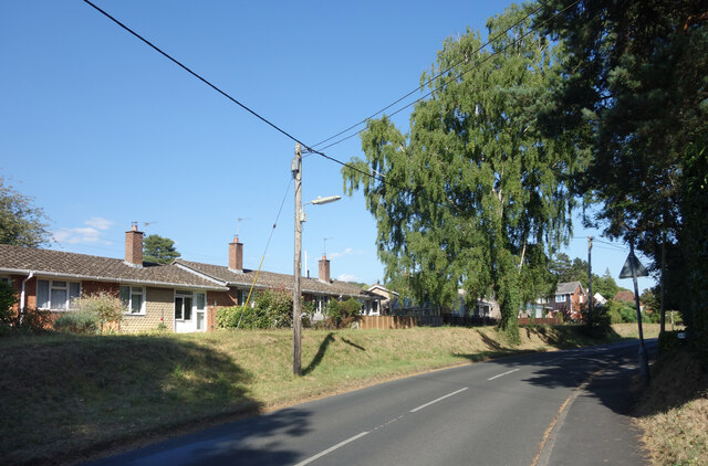
The village itself is characterized by its charming, traditional architecture, with many of its buildings dating back to the 18th and 19th centuries. The centerpiece of Newtown is the old village green, a tranquil open space that serves as a focal point for community activities and events. Surrounding the green are a number of quaint cottages, a local pub, and a small village shop, providing essential amenities for residents and visitors alike.
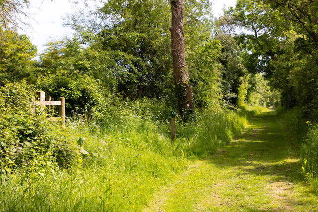
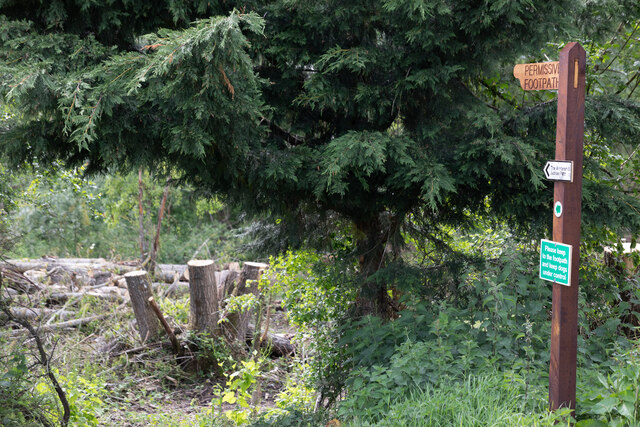
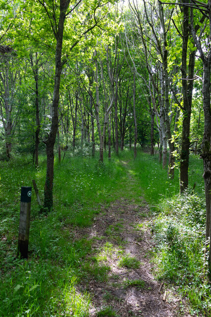
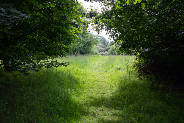
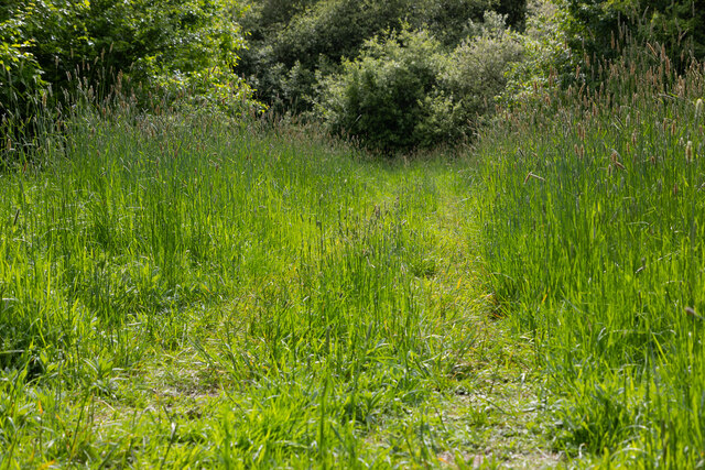
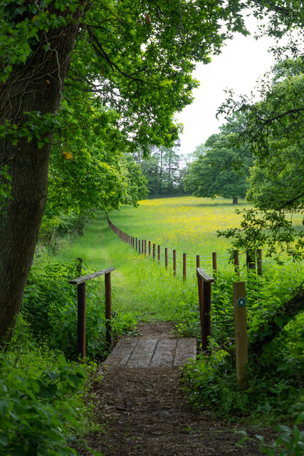
Nature enthusiasts are drawn to Newtown for its idyllic surroundings. The village lies in close proximity to several walking and cycling trails, offering stunning views of the rolling hills and woodlands that define the area. Additionally, the nearby Itchen Valley provides opportunities for fishing and boating on the River Itchen.
Despite its rural setting, Newtown benefits from good transport links. The A33 road runs just to the east of the village, connecting it to Winchester and other nearby towns. For those seeking city amenities, Southampton is easily accessible, being only a short drive away.
Overall, Newtown offers a peaceful and picturesque retreat from the hustle and bustle of city life, with its charming village ambiance, natural beauty, and convenient location.
If you have any feedback on the listing, please let us know in the comments section below.
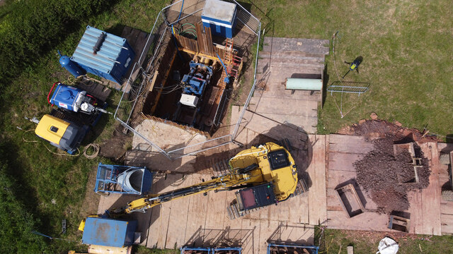
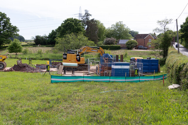
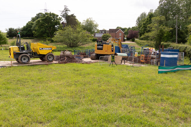
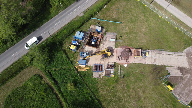
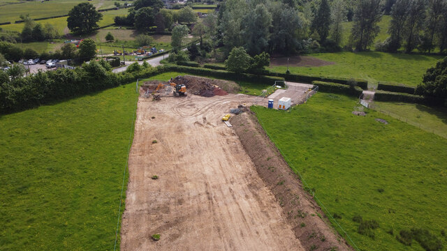
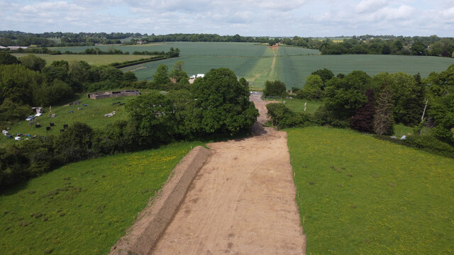
Newtown Images
Images are sourced within 2km of 50.956121/-1.228996 or Grid Reference SU5417. Thanks to Geograph Open Source API. All images are credited.
Newtown is located at Grid Ref: SU5417 (Lat: 50.956121, Lng: -1.228996)
Administrative County: Hampshire
District: Winchester
Police Authority: Hampshire
What 3 Words
///weekends.batches.relief. Near Bishops Waltham, Hampshire
Nearby Locations
Related Wikis
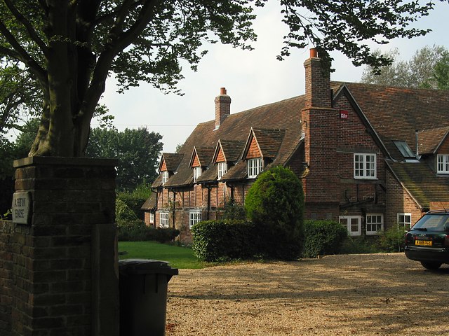
Ashton, Hampshire
Ashton is a village in Hampshire, England. It consists of mainly substantial properties and is situated just inside the boundary for the South Downs National...

Bishop's Waltham Town F.C.
Bishop's Waltham Town were a football club based in Bishop's Waltham, Hampshire, and ran for over a hundred years. == History == Bishop's Waltham Town...
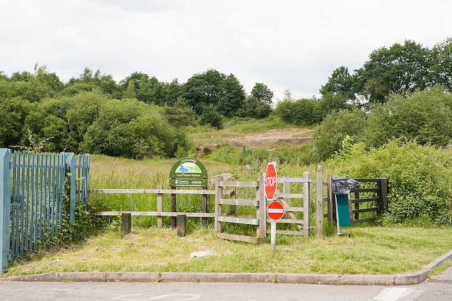
Claylands
Claylands is a 5.8-hectare (14-acre) Local Nature Reserve in Bishop's Waltham in Hampshire. It is owned by Hampshire County Council and managed by Hampshire...
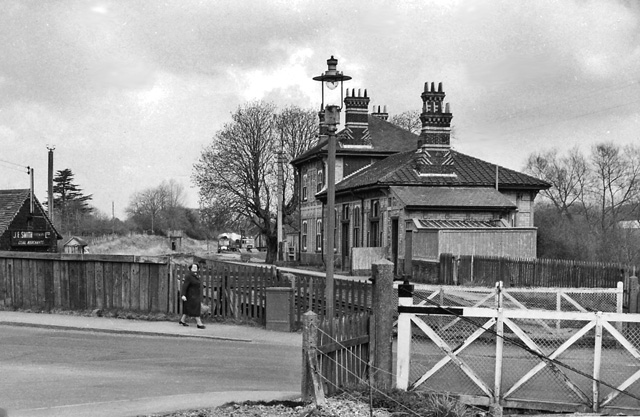
Bishops Waltham railway station
Bishops Waltham railway station was a railway station in Bishop's Waltham, Hampshire, England. The station was the terminus of the 3.75 mile branch line...

Bishops Waltham Branch LNR
Bishops Waltham Branch LNR is a 1.6-hectare (4.0-acre) local nature reserve in Bishop's Waltham in Hampshire. It is owned and managed by Hampshire County...

Bishop's Waltham Palace
Bishop's Waltham Palace is a moated Bishop's Palace ruin in Bishop's Waltham, Hampshire, England. It is a scheduled ancient monument and a Grade II* listed...

Bishop's Waltham
Bishop's Waltham (or Bishops Waltham) is a medieval market town situated at the source of the River Hamble in Hampshire, England. It has a foot in the...

Durley Street
Durley Street is a village in the City of Winchester district of Hampshire, England. It is located approximately 7 miles (11 km) northeast of Southampton...
Nearby Amenities
Located within 500m of 50.956121,-1.228996Have you been to Newtown?
Leave your review of Newtown below (or comments, questions and feedback).