Priory Park
Downs, Moorland in Hampshire Winchester
England
Priory Park

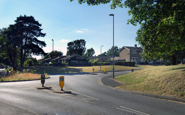
Priory Park is a picturesque 200-acre public park located in the county of Hampshire, England. Situated on the outskirts of the town of Southwick, the park offers visitors a unique blend of natural beauty, historic landmarks, and recreational amenities.
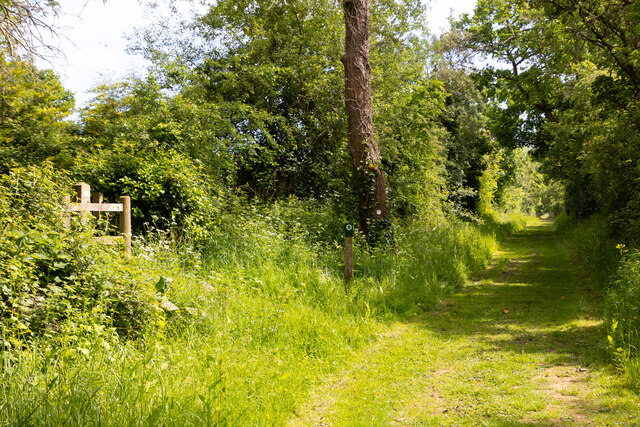
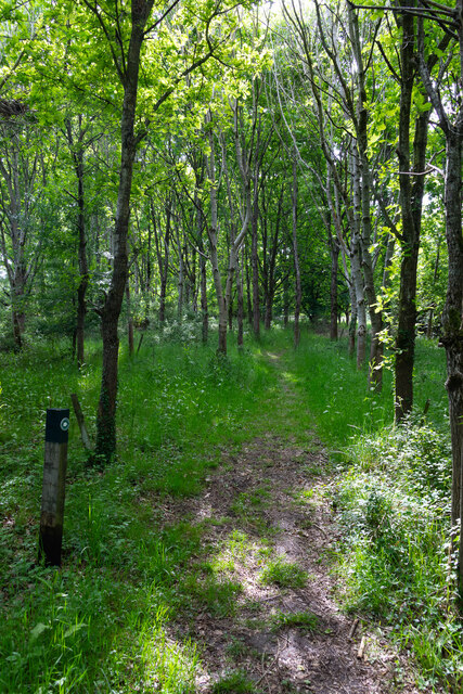
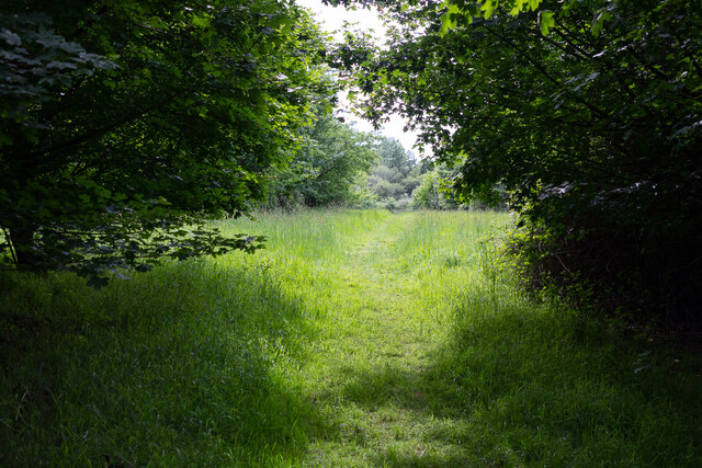
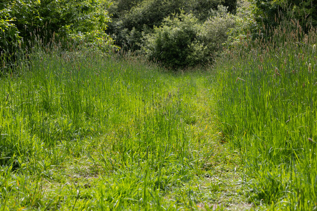
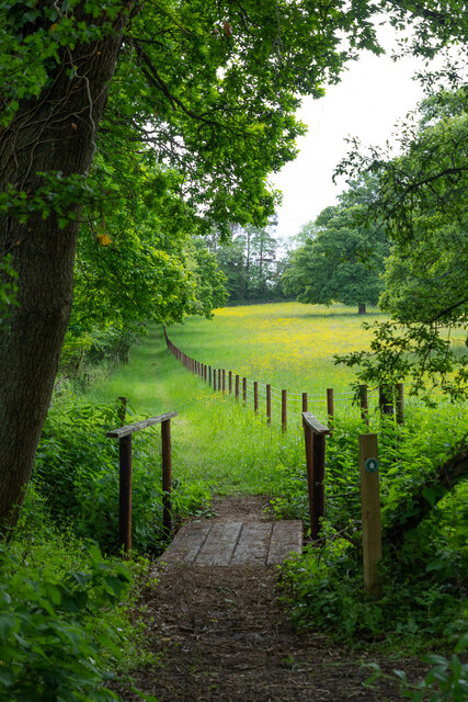
The park is predominantly characterized by its beautiful Downs and Moorland, providing visitors with stunning panoramic views of the surrounding countryside. The rolling hills, covered in lush greenery and dotted with wildflowers, make it an ideal destination for nature enthusiasts and hikers. The diverse wildlife in the area, including deer, rabbits, and various bird species, adds to the park's charm.
One of the park's main attractions is the historic Southwick House, a Grade II listed building dating back to the 19th century. This grand mansion, with its elegant architecture and well-preserved interiors, offers a glimpse into the region's rich heritage. The house is surrounded by well-manicured gardens, which provide a peaceful setting for leisurely walks and picnics.
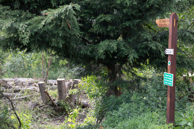
For those seeking recreational activities, Priory Park offers a range of amenities. The park boasts well-maintained walking and cycling trails, allowing visitors to explore the expansive grounds at their own pace. There are also several sports facilities, including tennis courts, a football pitch, and a children's playground, ensuring that visitors of all ages can enjoy their time in the park.
Additionally, Priory Park hosts various events throughout the year, such as outdoor concerts, art exhibitions, and seasonal fairs, which attract both locals and tourists alike.
Overall, Priory Park in Hampshire offers a tranquil escape from the hustle and bustle of everyday life, combining natural beauty, historical significance, and recreational opportunities in one idyllic setting.
If you have any feedback on the listing, please let us know in the comments section below.
Priory Park Images
Images are sourced within 2km of 50.951484/-1.224086 or Grid Reference SU5417. Thanks to Geograph Open Source API. All images are credited.
Priory Park is located at Grid Ref: SU5417 (Lat: 50.951484, Lng: -1.224086)
Administrative County: Hampshire
District: Winchester
Police Authority: Hampshire
What 3 Words
///violin.cure.maddening. Near Bishops Waltham, Hampshire
Nearby Locations
Related Wikis

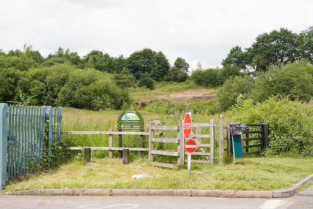
Bishops Waltham Branch LNR
Bishops Waltham Branch LNR is a 1.6-hectare (4.0-acre) local nature reserve in Bishop's Waltham in Hampshire. It is owned and managed by Hampshire County...

Bishop's Waltham Town F.C.
Bishop's Waltham Town were a football club based in Bishop's Waltham, Hampshire, and ran for over a hundred years. == History == Bishop's Waltham Town...
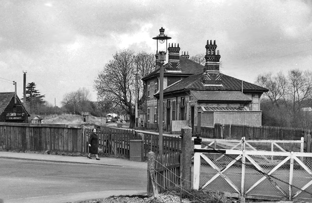
Bishops Waltham railway station
Bishops Waltham railway station was a railway station in Bishop's Waltham, Hampshire, England. The station was the terminus of the 3.75 mile branch line...

Bishop's Waltham Palace
Bishop's Waltham Palace is a moated Bishop's Palace ruin in Bishop's Waltham, Hampshire, England. It is a scheduled ancient monument and a Grade II* listed...
Claylands
Claylands is a 5.8-hectare (14-acre) Local Nature Reserve in Bishop's Waltham in Hampshire. It is owned by Hampshire County Council and managed by Hampshire...

Bishop's Waltham
Bishop's Waltham (or Bishops Waltham) is a medieval market town situated at the source of the River Hamble in Hampshire, England. It has a foot in the...
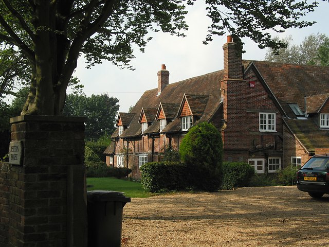
Ashton, Hampshire
Ashton is a village in Hampshire, England. It consists of mainly substantial properties and is situated just inside the boundary for the South Downs National...

The Moors, Bishop's Waltham
The Moors, Bishop's Waltham is a 28-hectare (69-acre) biological Site of Special Scientific Interest in Bishop's Waltham in Hampshire. It is a Nature Conservation...
Nearby Amenities
Located within 500m of 50.951484,-1.224086Have you been to Priory Park?
Leave your review of Priory Park below (or comments, questions and feedback).