The Palace House
Heritage Site in Hampshire Winchester
England
The Palace House
The Palace House, located in Hampshire, England, is a historic heritage site that offers visitors a fascinating glimpse into the past. Originally built as a medieval bishop's palace in the 13th century, it has since undergone numerous renovations and additions, resulting in its unique architectural blend of medieval, Tudor, and Victorian styles.
The Palace House is set within the beautiful Beaulieu Estate, which spans over 7,000 acres of picturesque countryside. The estate itself is steeped in history, having been home to the Montagu family for over four centuries. Today, it serves as the family's ancestral home and is open to the public.
Upon entering the Palace House, visitors are greeted by a magnificent Great Hall, with its impressive hammer-beam ceiling and intricate tapestries. The rooms that follow are a testament to the different periods in which they were constructed, showcasing a diverse range of architectural features and design styles.
One of the highlights of the Palace House is its extensive art collection, which includes works by renowned artists such as Titian, Rubens, and Reynolds. The collection offers a glimpse into the family's rich heritage and their passion for art.
In addition to the stunning interior, the Palace House is surrounded by meticulously maintained gardens, complete with vibrant flower beds and peaceful water features. Visitors can take a leisurely stroll through the gardens, enjoying the serene atmosphere and taking in the breathtaking views of the surrounding countryside.
Overall, the Palace House in Hampshire offers a captivating journey through history, art, and natural beauty. It is a must-visit destination for history enthusiasts, art lovers, and anyone seeking a tranquil escape from the hustle and bustle of modern life.
If you have any feedback on the listing, please let us know in the comments section below.
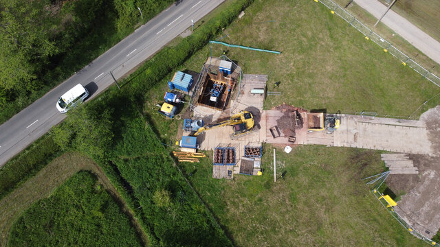
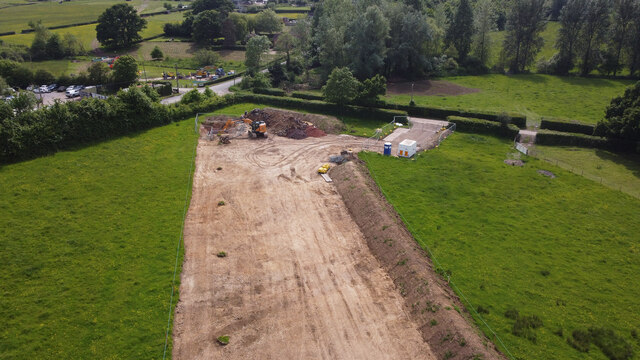
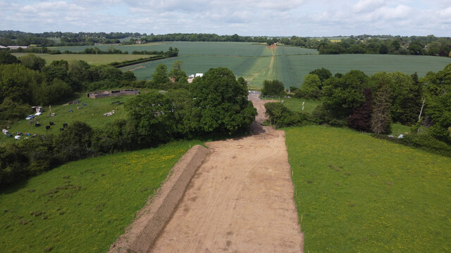
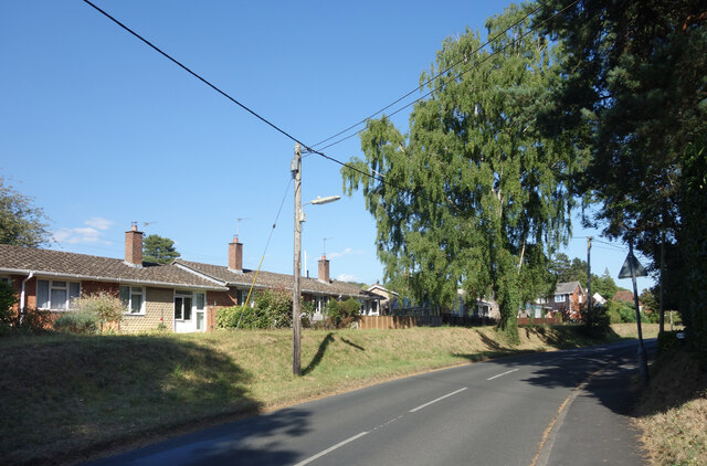
The Palace House Images
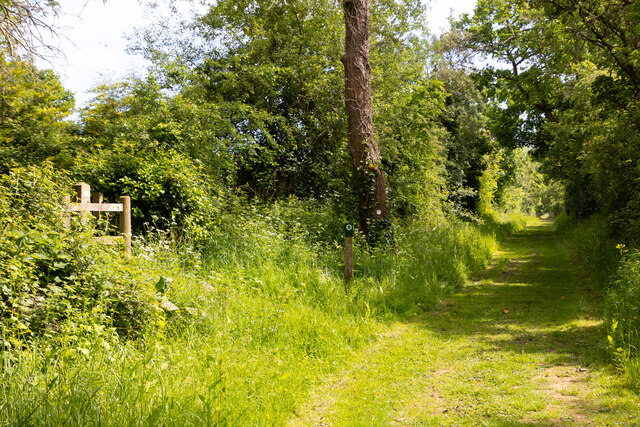
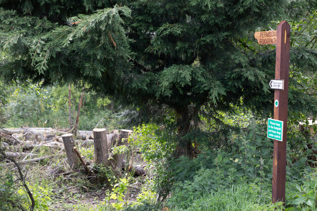
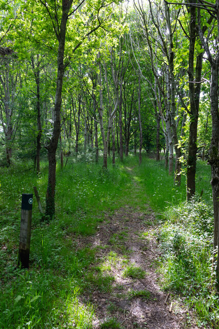
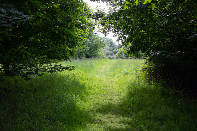
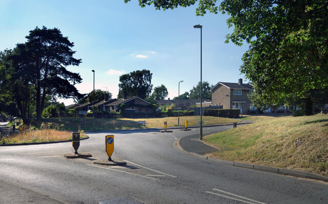
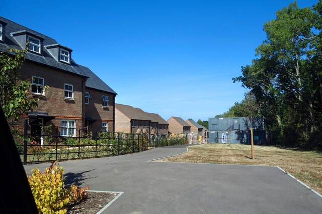
Images are sourced within 2km of 50.952/-1.221 or Grid Reference SU5417. Thanks to Geograph Open Source API. All images are credited.
The Palace House is located at Grid Ref: SU5417 (Lat: 50.952, Lng: -1.221)
Administrative County: Hampshire
District: Winchester
Police Authority: Hampshire
What 3 Words
///brimmed.shakes.quietest. Near Bishops Waltham, Hampshire
Nearby Locations
Related Wikis

Bishops Waltham Branch LNR
Bishops Waltham Branch LNR is a 1.6-hectare (4.0-acre) local nature reserve in Bishop's Waltham in Hampshire. It is owned and managed by Hampshire County...
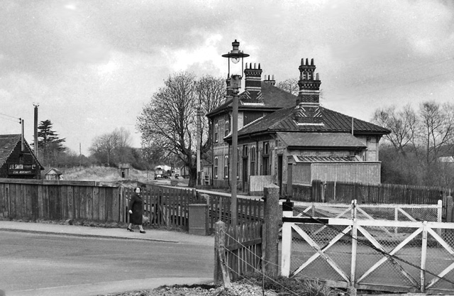
Bishops Waltham railway station
Bishops Waltham railway station was a railway station in Bishop's Waltham, Hampshire, England. The station was the terminus of the 3.75 mile branch line...

Bishop's Waltham Town F.C.
Bishop's Waltham Town were a football club based in Bishop's Waltham, Hampshire, and ran for over a hundred years. == History == Bishop's Waltham Town...

Bishop's Waltham Palace
Bishop's Waltham Palace is a moated Bishop's Palace ruin in Bishop's Waltham, Hampshire, England. It is a scheduled ancient monument and a Grade II* listed...
Nearby Amenities
Located within 500m of 50.952,-1.221Have you been to The Palace House?
Leave your review of The Palace House below (or comments, questions and feedback).