Bestwood Village
Settlement in Nottinghamshire Gedling
England
Bestwood Village
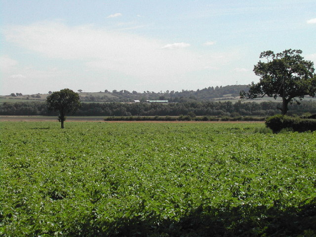
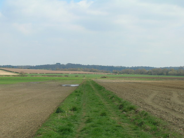
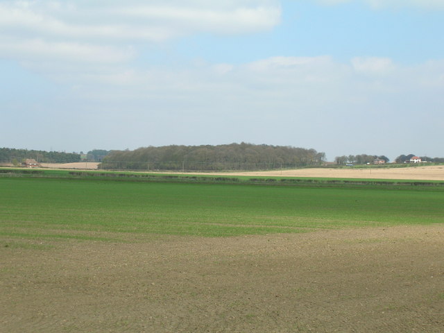
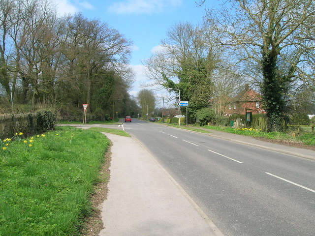
Bestwood Village is a small settlement located in the county of Nottinghamshire, England. Situated about four miles north of Nottingham city centre, it lies within the boundaries of the Gedling borough. The village is surrounded by picturesque countryside, with the Bestwood Country Park and Bestwood Lodge Estate nearby.
Bestwood Village has a rich history, dating back to medieval times. It was once home to Bestwood Colliery, a coal mine that played a significant role in the local economy during the 19th and 20th centuries. Today, the colliery has been transformed into a business park, providing employment opportunities for the local community.
The village itself has a close-knit community, with a population of approximately 3,000 residents. It offers a range of amenities, including a primary school, a post office, a convenience store, and several pubs. The nearby Bestwood Lodge Hotel is a popular venue for weddings and events.
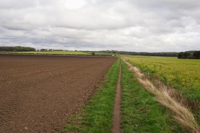
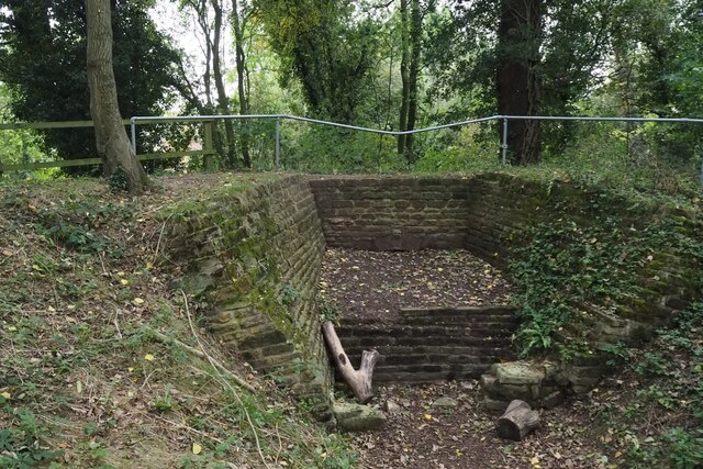
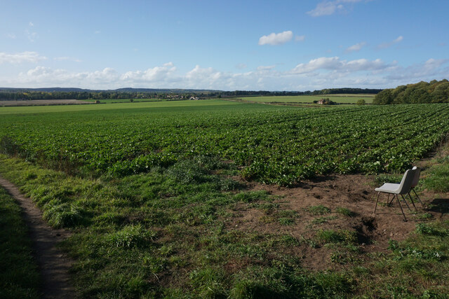
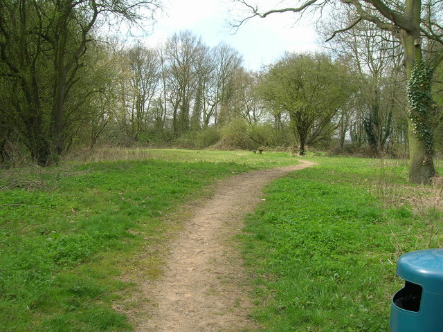
For those seeking outdoor activities, Bestwood Country Park is a fantastic destination. Spanning over 650 acres, the park features woodlands, meadows, and a lake. It offers opportunities for walking, cycling, and wildlife spotting. The park is also home to the Winding Engine House, a museum showcasing the history of the coal industry in the area.
Bestwood Village is well-connected to other parts of Nottinghamshire and beyond. It has good transport links, with regular bus services to Nottingham city centre and surrounding towns. The village is also close to the M1 motorway, providing easy access to other parts of the country.
Overall, Bestwood Village is a charming and peaceful location that offers a blend of rural tranquility and convenient access to urban amenities.
If you have any feedback on the listing, please let us know in the comments section below.
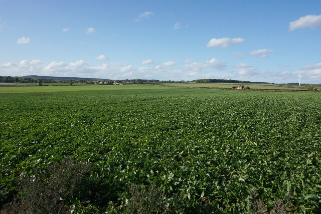
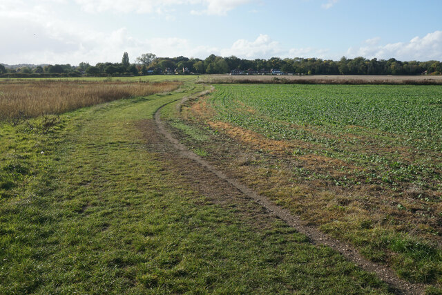
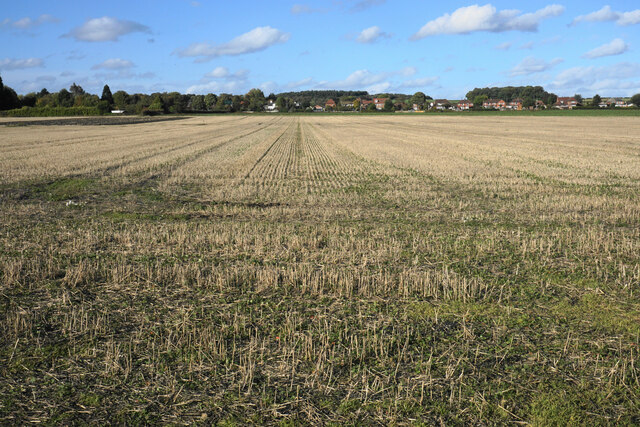
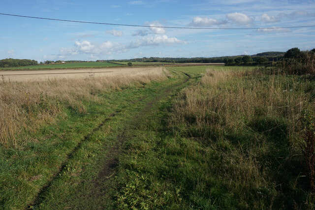
Bestwood Village Images
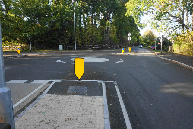
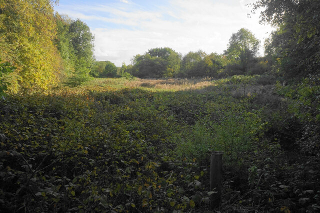
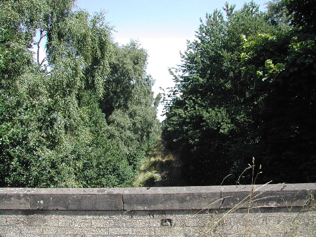
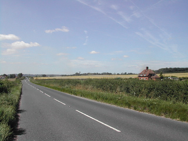
Images are sourced within 2km of 53.0345/-1.175293 or Grid Reference SK5548. Thanks to Geograph Open Source API. All images are credited.

Bestwood Village is located at Grid Ref: SK5548 (Lat: 53.0345, Lng: -1.175293)
Administrative County: Nottinghamshire
District: Gedling
Police Authority: Nottinghamshire
What 3 Words
///atomic.create.repay. Near Hucknall, Nottinghamshire
Nearby Locations
Related Wikis

Whyburn
The Whyburn (known locally as Town Brook, and by the UK Government as Baker Lane Brook) is the main watercourse flowing through the town of Hucknall in...

Bestwood Village
Bestwood Village is an area and civil parish in the Gedling district of Nottinghamshire. Until 1 April 2018 it was part of the civil parish of Bestwood...

Butler's Hill tram stop
Butler's Hill is a tram stop on the Nottingham Express Transit network, serving the suburb of Butler's Hill, Ashfield in Nottinghamshire, England. The...
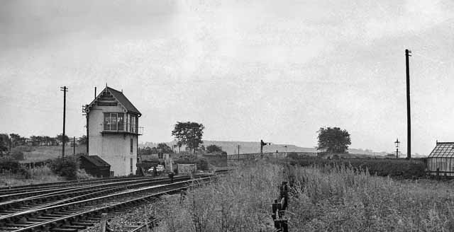
Butler's Hill railway station
Butler's Hill railway station was a former station on the Great Northern Railway's Nottingham to Shirebrook line.The station should not be confused with...
Nearby Amenities
Located within 500m of 53.0345,-1.175293Have you been to Bestwood Village?
Leave your review of Bestwood Village below (or comments, questions and feedback).