Newton

Settlement in Shropshire

England

Newton

Rindleford
Rindleford Credit: Geoff Pick

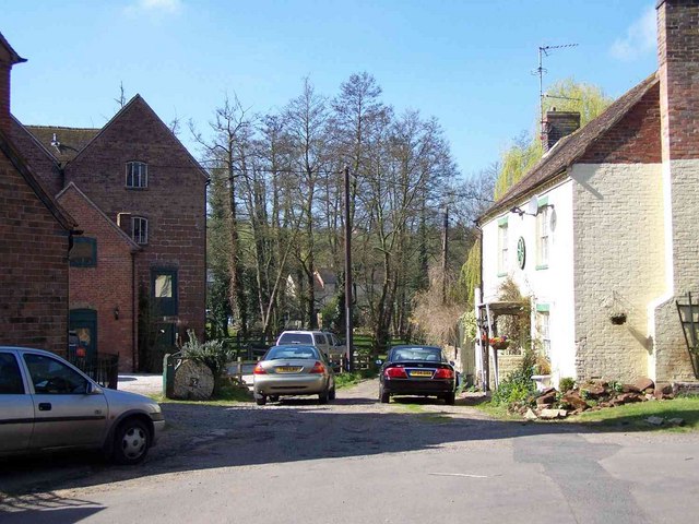
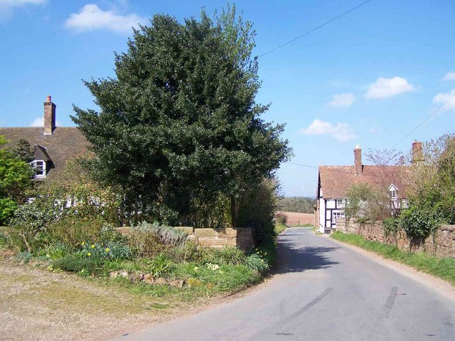
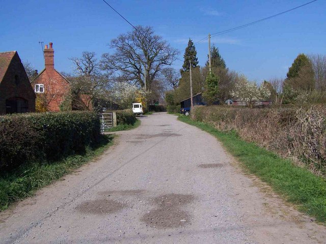
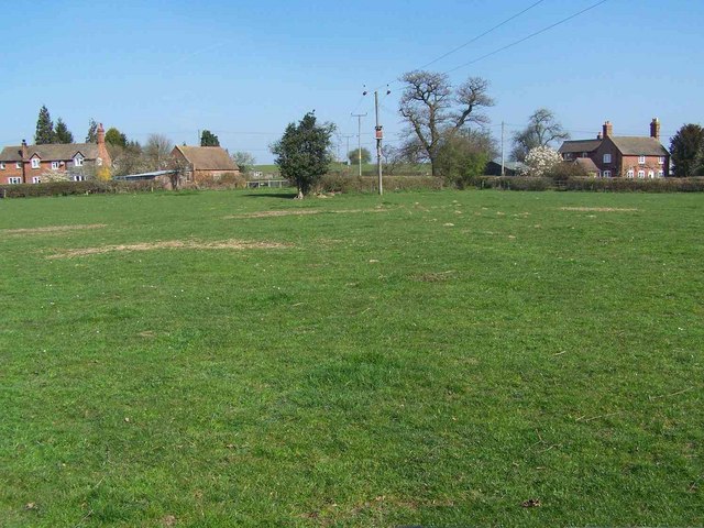
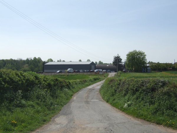
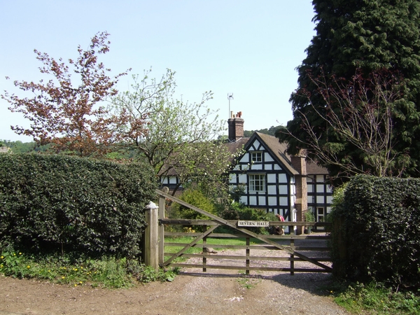
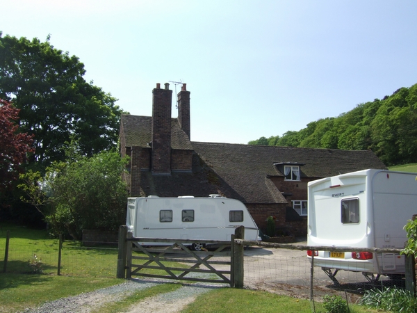
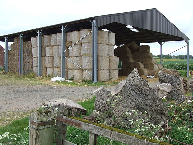
Newton is a small village located in the county of Shropshire, England. Situated approximately 4 miles northeast of the town of Shrewsbury, Newton is a peaceful and picturesque community that offers a charming rural setting.

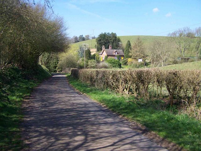
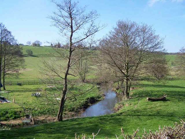
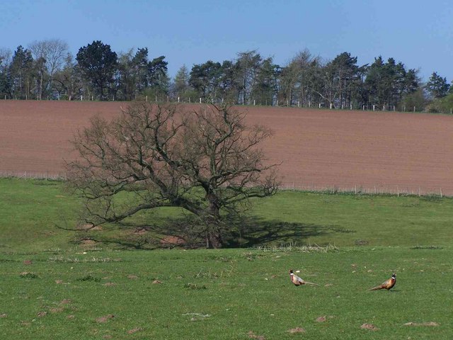
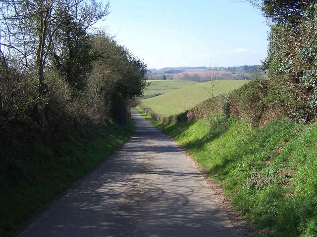
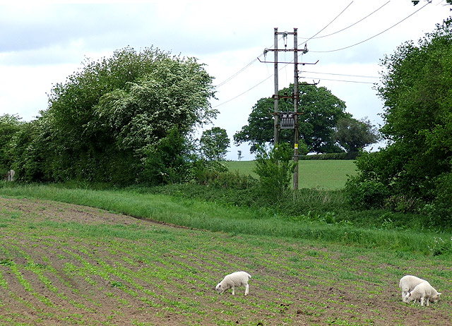
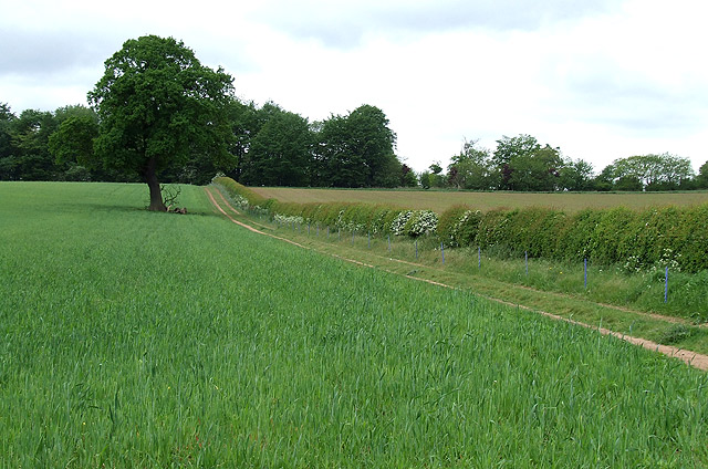
The village is surrounded by rolling green hills and farmland, providing a tranquil environment for its residents. Newton is known for its idyllic countryside views and is a popular destination for nature lovers and hikers who enjoy exploring the nearby Shropshire Hills Area of Outstanding Natural Beauty.

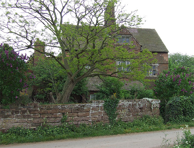
Despite its small size, Newton has a strong sense of community and a rich history. The village features a historic church, St. Mary and St. Chad, which dates back to the 12th century. This beautiful Norman church is a focal point of the village and serves as a reminder of Newton's long-standing heritage.

In terms of amenities, Newton has a few local shops and services, including a village pub that offers a warm and welcoming atmosphere for both residents and visitors. For more extensive shopping and entertainment options, the nearby town of Shrewsbury provides a range of amenities and attractions.

Overall, Newton, Shropshire is a charming village that offers a peaceful and scenic setting, making it an ideal place for those seeking a quieter lifestyle away from the hustle and bustle of larger towns and cities.

If you have any feedback on the listing, please let us know in the comments section below.

Newton Images

Images are sourced within 2km of 52.57005/-2.3965662 or Grid Reference SO7396. Thanks to Geograph Open Source API. All images are credited.

Rindleford
Rindleford
Near Rindleford
Near Rindleford
Catstree
Catstree
River Worfe Near Rindleford
Bromley
Bromley
Tree Near Bromley
Tree Near Bromley
Hartlebury
Hartlebury
Hartlebury
Hartlebury
Lane to Rindleford
Lane to Rindleford
The Boldings This is a popular local fishery as can be seen from the number of vehicles parked here on a Saturday morning.
The Boldings
This is a popular local fishery as can be seen from the number of vehicles parked here on a Saturday morning.
Severn Hall This is on the opposite bank to Allscot and is near to Colemore Green.
Severn Hall
This is on the opposite bank to Allscot and is near to Colemore Green.
Little Severn Hall Near to the river north of Bridgnorth. I would not have liked to meet one of these caravans coming up the very narrow lane.
Little Severn Hall
Near to the river north of Bridgnorth. I would not have liked to meet one of these caravans coming up the very narrow lane.
Hay in open sided Barn, Allscott, Shropshire
Sheep Grazing by Ewdness House, Shropshire
Lambs in the Wrong Field, near Oldington, Shropshire If these three lead the rest of the flock in here there will be trouble!
Lambs in the Wrong Field, near Oldington, Shropshire
If these three lead the rest of the flock in here there will be trouble!
Farmer's Track through Crop Field, near Oldington, Shropshire The track, which is not a public right of way, leads up to the woodland which covers the steep scarp down to the River Severn flood plain.
Farmer's Track through Crop Field, near Oldington, Shropshire
The track, which is not a public right of way, leads up to the woodland which covers the steep scarp down to the River Severn flood plain.
Sheep Grazing by Oldington Farm, Shropshire Image taken from the bridleway which crosses this field.
Sheep Grazing by Oldington Farm, Shropshire
Image taken from the bridleway which crosses this field.
Derelict House, Allscott, Shropshire The few broken windows and an partly overgrown garden suggest that the house has not been unoccupied for very long.
Derelict House, Allscott, Shropshire
The few broken windows and an partly overgrown garden suggest that the house has not been unoccupied for very long.
Show me another place!

Newton is located at Grid Ref: SO7396 (Lat: 52.57005, Lng: -2.3965662)

Unitary Authority: Shropshire

Police Authority: West Mercia

What 3 Words

///fiery.cartoons.stubble. Near Bridgnorth, Shropshire

Related Wikis

Stanley Hall, Shropshire

Stanley Hall, near Astley Abbotts in Shropshire, England, is a Grade II–listed building that first gained its protected status in 1970. It probably dates...

A442 road

The A442 is a main road which passes through the counties of Worcestershire and Shropshire, in the West Midlands region of England. == Route == From Droitwich...

River Worfe

The River Worfe is a river in Shropshire, England. The name Worfe is said to derive from the Old English meaning to wander (or meander) which the river...

Apley Hall

Apley Hall is an English Gothic Revival house located in the parish of Stockton near Bridgnorth, Shropshire. The building was completed in 1811 with adjoining...

Nearby Amenities

Located within 500m of 52.57005,-2.3965662
Newton
Created By: Potlatch 0.10f
Place: hamlet
Lat/Long: 52.5699605/-2.3954286
Power: pole
Lat/Long: 52.568659/-2.397691
Power: pole
Lat/Long: 52.5685139/-2.396881
Power: pole
Lat/Long: 52.5682237/-2.3951
Power: pole
Lat/Long: 52.5660195/-2.3975354
Power: pole
Lat/Long: 52.5666341/-2.3976749
Power: pole
Lat/Long: 52.567464/-2.3978734
Power: pole
Lat/Long: 52.5683672/-2.3980933
Power: pole
Lat/Long: 52.5679042/-2.4012718
Power: pole
Lat/Long: 52.5732496/-2.399236
Power: pole
Lat/Long: 52.570449/-2.3985761
Power: pole
Lat/Long: 52.5695067/-2.3983723
The data included in this document is from www.openstreetmap.org. The data is made available under ODbL.

Have you been to Newton?

Leave your review of Newton below (or comments, questions and feedback).