Lower Allscott
Settlement in Shropshire
England
Lower Allscott
Lower Allscott is a small village situated in the county of Shropshire, England. It is located approximately 6 miles west of the town of Telford and 2 miles east of the village of Wellington. With a population of around 300 residents, Lower Allscott maintains a charming and close-knit community atmosphere.
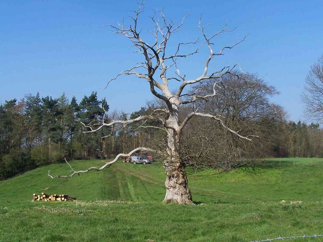
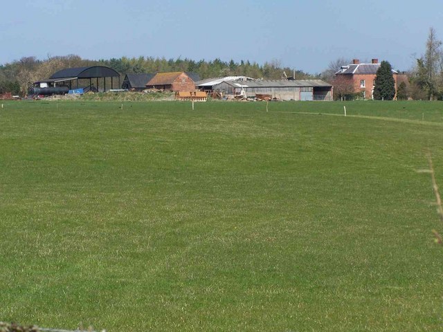
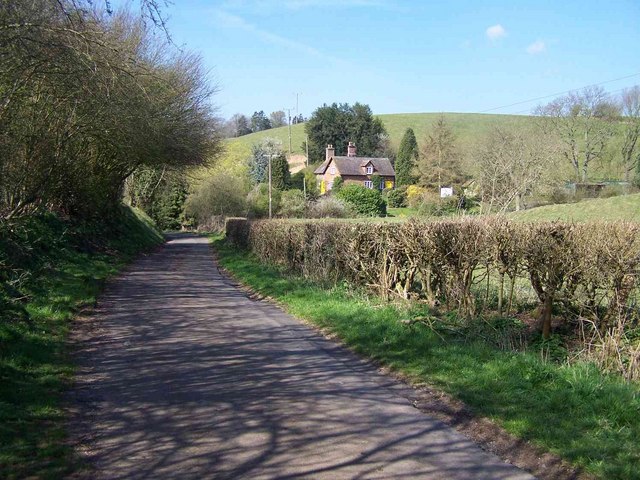
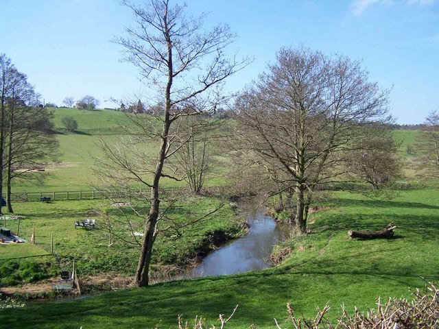
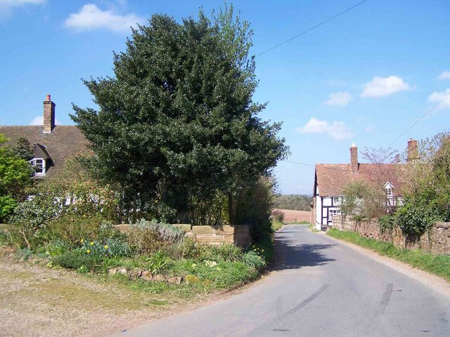
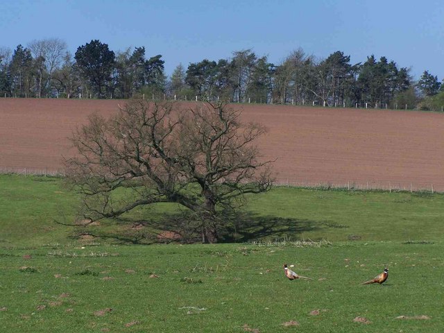
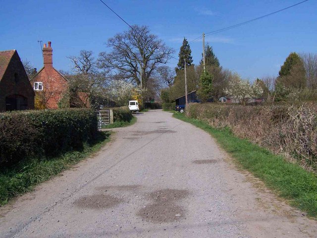
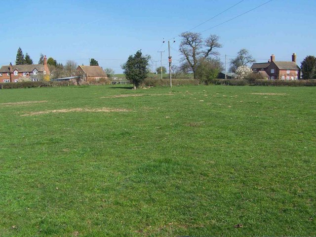
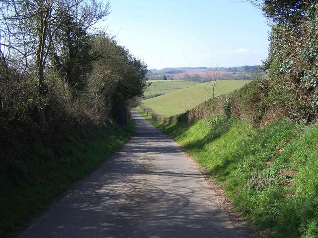
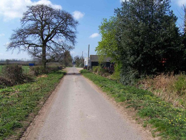
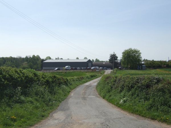
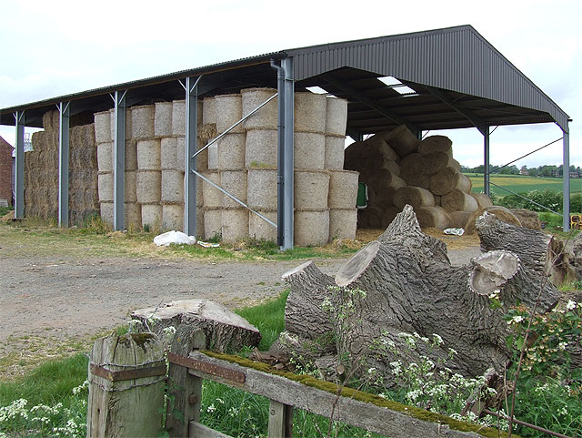
The village is known for its picturesque rural setting, surrounded by rolling hills and green fields. The landscape is dominated by traditional agricultural activities, with farming playing a significant role in the local economy. The fertile soil and favorable climate of the area make it ideal for crop cultivation and livestock rearing.
Lower Allscott is home to a few notable landmarks. The Allscott Mill, a historic watermill, stands as a testament to the village's industrial past. Built in the 18th century, it offers a glimpse into the region's rich history. Additionally, the St. Lawrence Church, a Grade II listed building, boasts impressive architecture and serves as a place of worship for the community.
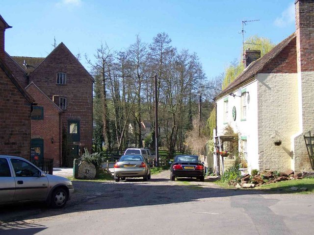
Residents of Lower Allscott enjoy a peaceful and tranquil lifestyle, surrounded by natural beauty. The village offers limited amenities, with a small convenience store providing basic necessities. However, the nearby towns of Telford and Wellington offer a wider range of services, including schools, healthcare facilities, and shopping centers.
Overall, Lower Allscott is a charming rural village that provides an idyllic setting for those seeking a quiet and close-knit community. Its rich history, natural beauty, and proximity to larger towns make it an attractive place to live for those who appreciate a slower pace of life.
If you have any feedback on the listing, please let us know in the comments section below.
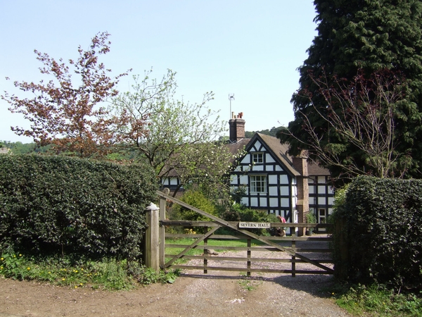
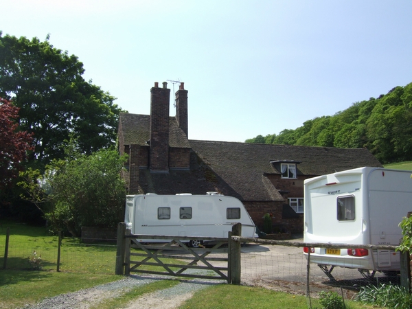
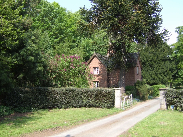
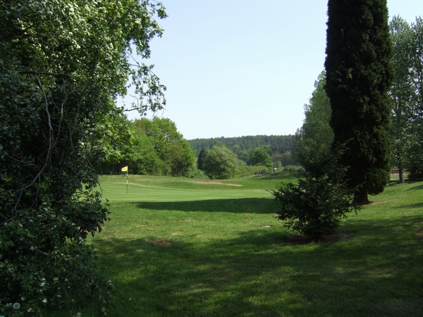
Lower Allscott Images
Images are sourced within 2km of 52.56334/-2.3949714 or Grid Reference SO7396. Thanks to Geograph Open Source API. All images are credited.

Lower Allscott is located at Grid Ref: SO7396 (Lat: 52.56334, Lng: -2.3949714)
Unitary Authority: Shropshire
Police Authority: West Merica
What 3 Words
///prefect.still.scatter. Near Bridgnorth, Shropshire
Nearby Locations
Related Wikis

River Worfe
The River Worfe is a river in Shropshire, England. The name Worfe is said to derive from the Old English meaning to wander (or meander) which the river...

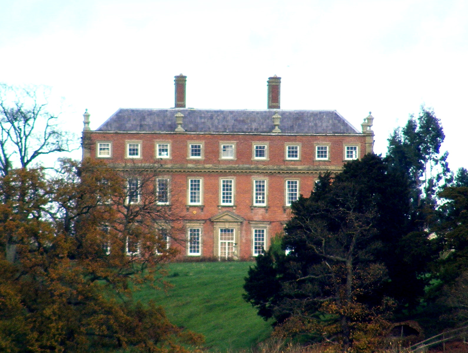
Stanley Hall, Shropshire
Stanley Hall, near Astley Abbotts in Shropshire, England, is a Grade II–listed building that first gained its protected status in 1970. It probably dates...

Burcote
Burcote is a village near Bridgnorth in Shropshire, England. == External links == Media related to Burcote at Wikimedia Commons
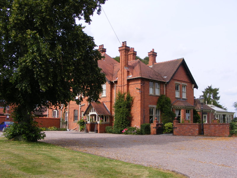
Davenport House, Worfield
Davenport House is an historic country house in the English village of Worfield, Shropshire. Located to the southwest of the village centre, it was built...

Astley Abbotts
Astley Abbotts is a village and civil parish in Shropshire, England, located immediately north of Bridgnorth, and straddling the B4373 Bridgnorth to Broseley...

A442 road
The A442 is a main road which passes through the counties of Worcestershire and Shropshire, in the West Midlands region of England. == Route == From Droitwich...
Worfield
Worfield is a village and civil parish in Shropshire in the West Midlands, England. It is 120 miles (190 km) northwest of London and 10 miles (16 km) west...

Apley Hall
Apley Hall is an English Gothic Revival house located in the parish of Stockton near Bridgnorth, Shropshire. The building was completed in 1811 with adjoining...
Related Videos

Worfield Shropshire
stopped off in the rural village of Worfield for a rest on my rural bike ride. random footage. https://en.wikipedia.org/wiki/Worfield my ...

Honda VFR750R RC30 Paint work
completed fairing set for a VFR750R RC30.

Divine Sounds - Civil Ceremony set up - Davenport House
Here is our discreet Civil Ceremony audio set up for the luxurious venue Davenport House. Divine Sounds played guests arrival ...
Nearby Amenities
Located within 500m of 52.56334,-2.3949714Have you been to Lower Allscott?
Leave your review of Lower Allscott below (or comments, questions and feedback).