Newton
Settlement in Herefordshire
England
Newton
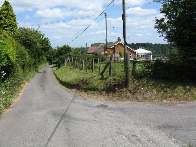
Newton is a small village located in the county of Herefordshire, in the West Midlands region of England. Situated in the beautiful countryside, it lies approximately 6 miles northeast of the market town of Leominster. With a population of around 500 residents, Newton is known for its peaceful and rural atmosphere.
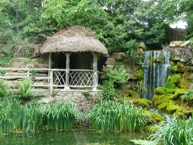
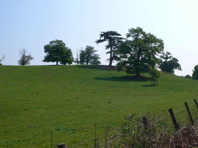
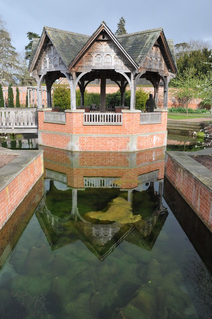
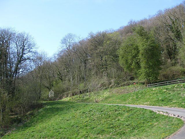
The village is characterized by its quaint and picturesque appearance, with traditional cottages and charming gardens. It is surrounded by rolling hills and farmland, offering stunning views of the Herefordshire countryside. The nearby River Arrow also adds to the natural beauty of the area.
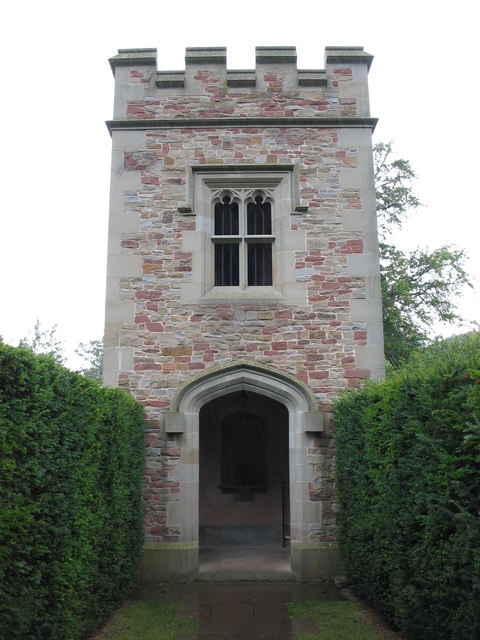
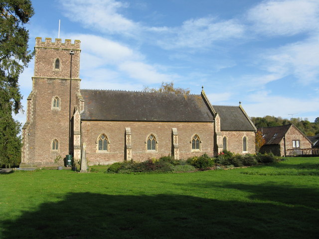
Newton has a rich history, with evidence of human habitation dating back to the Roman period. The Church of St. Mary, a Grade II listed building, stands as a testament to the village's historical significance. The church, which dates back to the 12th century, features beautiful stained glass windows and a tower with a spire.
While Newton is primarily a residential area, it offers a range of amenities to its residents. These include a village hall, a local pub, and a primary school. The village hall hosts various community events and activities throughout the year, fostering a sense of community spirit.
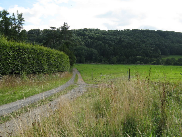
For those seeking outdoor pursuits, Newton is ideally located near several walking and cycling trails. The Herefordshire Trail, for example, passes through the village, allowing residents and visitors to explore the surrounding countryside.
Overall, Newton, Herefordshire is a tranquil and idyllic village, perfect for those looking to escape the hustle and bustle of city life and enjoy the beauty of the English countryside.
If you have any feedback on the listing, please let us know in the comments section below.
Newton Images
Images are sourced within 2km of 52.182453/-2.7172735 or Grid Reference SO5154. Thanks to Geograph Open Source API. All images are credited.

Newton is located at Grid Ref: SO5154 (Lat: 52.182453, Lng: -2.7172735)
Unitary Authority: County of Herefordshire
Police Authority: West Merica
What 3 Words
///absorbing.photos.petulant. Near Hope under Dinmore, Herefordshire
Nearby Locations
Related Wikis
Newton, Hampton Court
Newton is a linear settlement hamlet and civil parish in the county of Herefordshire, England, and is 10 miles (16 km) north from the city and county town...

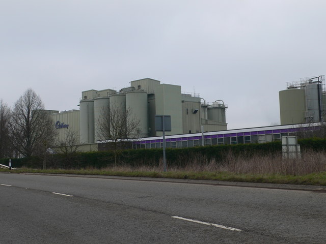
Marlbrook, Herefordshire
Marlbrook is an industrial and business park on the borders of and split between the civil parishes of Hope under Dinmore and Newton, in Herefordshire...

Ford Bridge railway station
Ford Bridge railway station was a station in Marlbrook, Herefordshire, England. The station was opened in 1854 and closed in 1954. After closure, the station...

Hope under Dinmore
Hope under Dinmore is a village and civil parish in Herefordshire, England. The village is on the A49 road, 4 miles (6 km) south of Leominster and 9 miles...

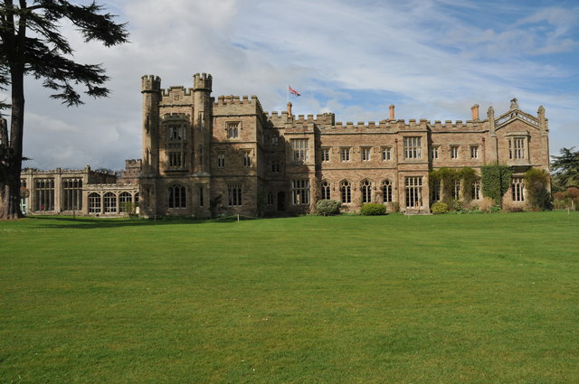
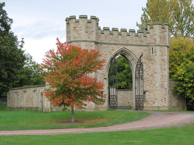
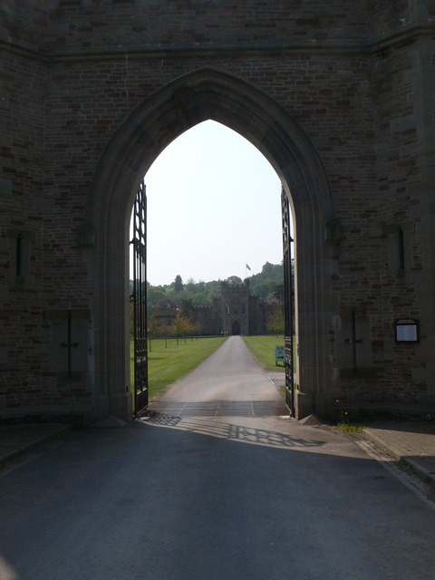
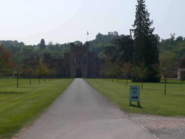
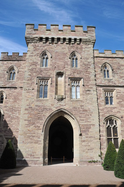
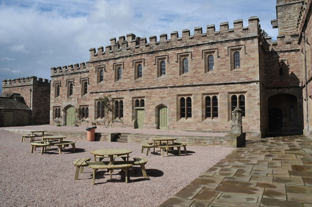
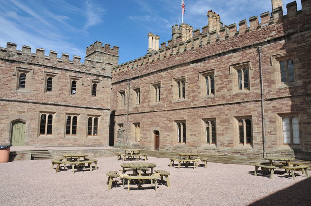
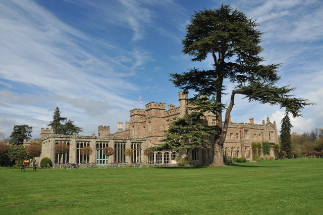
Hampton Court Castle
Hampton Court Castle, also known as Hampton Court, is a castellated country house in the English county of Herefordshire. The house is in the parish of...
Dinmore Hill
Dinmore Hill rises steeply above the River Lugg in Herefordshire, England and is effectively the prominent eastern ridge of an area of high ground which...
Ford and Stoke Prior
Ford and Stoke Prior is a civil parish in the county of Herefordshire, England, and is 10 miles (16 km) north from the city and county town of Hereford...

North Herefordshire (UK Parliament constituency)
North Herefordshire is a constituency represented in the House of Commons of the UK Parliament since its 2010 creation by Bill Wiggin, a Conservative....
Nearby Amenities
Located within 500m of 52.182453,-2.7172735Have you been to Newton?
Leave your review of Newton below (or comments, questions and feedback).