Newton

Settlement in Herefordshire

England

Newton

Wigmore Rolls Forested hill above Wigmore.
Wigmore Rolls Credit: Richard Webb

Newton is a small village located in the county of Herefordshire, England. Situated approximately 4 miles northeast of the market town of Kington, it is nestled amidst the picturesque Herefordshire countryside. The village is home to a population of around 500 residents.

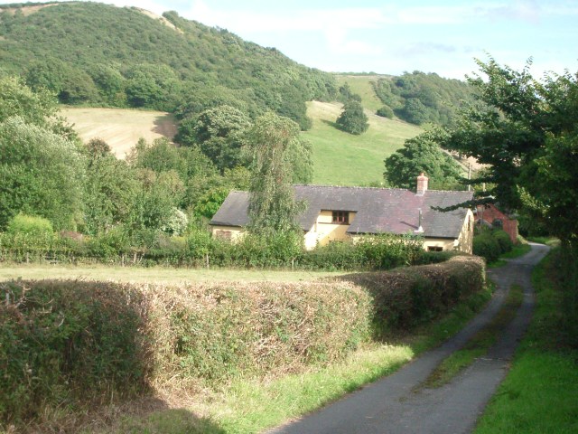
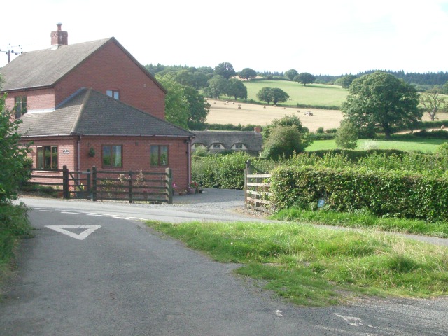
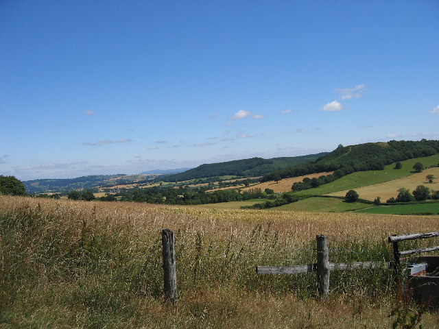
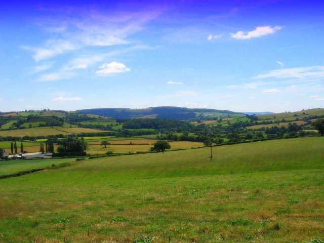
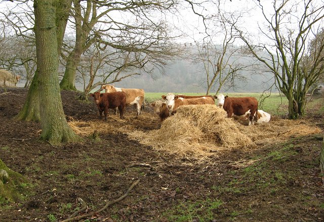
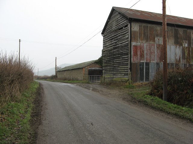
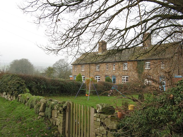
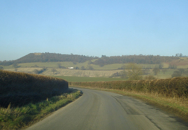
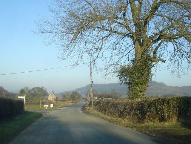
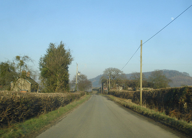
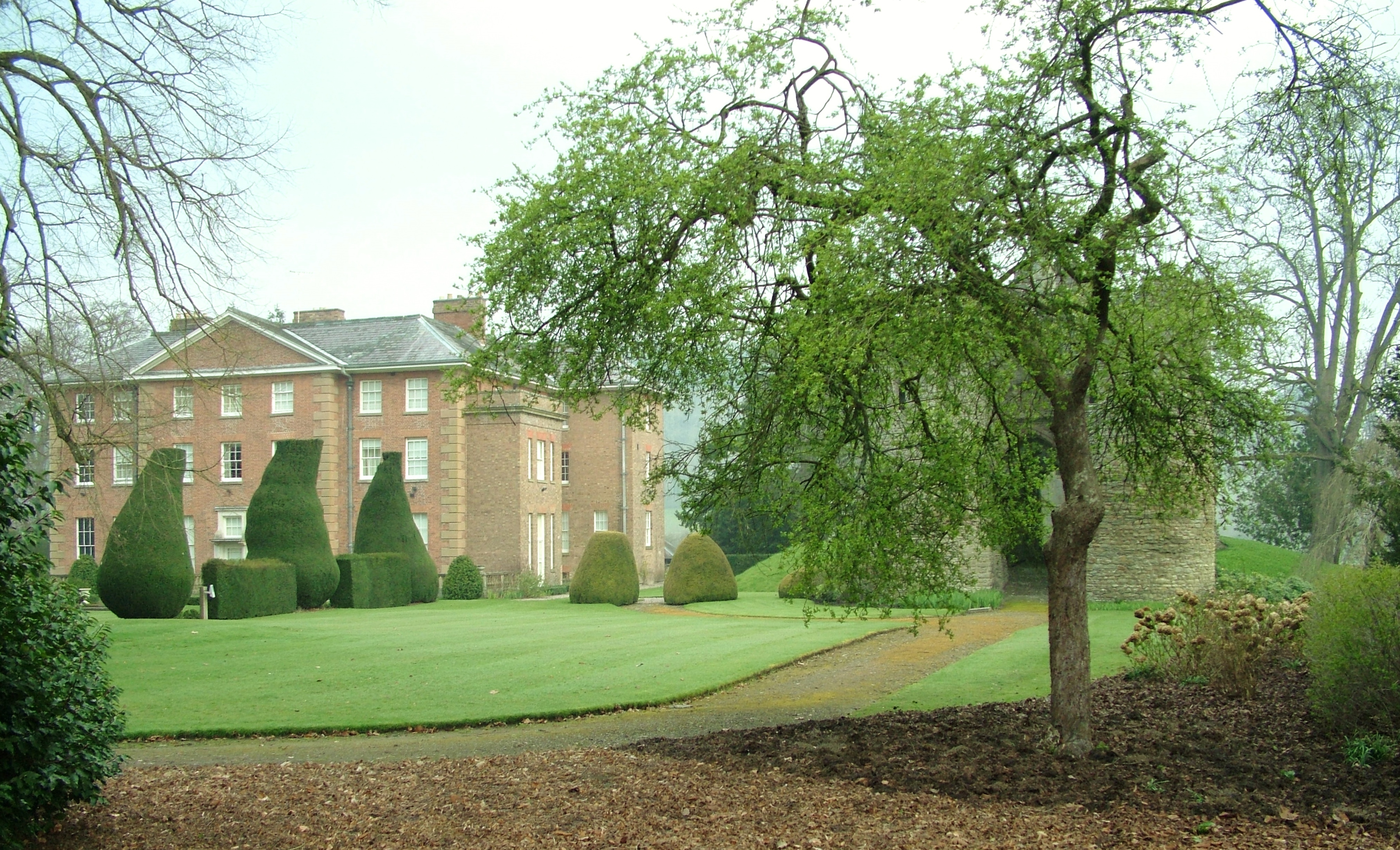
Newton enjoys a tranquil setting, surrounded by rolling hills and lush green fields. The landscape is dotted with charming cottages, traditional farmhouses, and converted barns, giving the area a quintessential English countryside feel. The village is characterized by a close-knit community, with a strong sense of pride and community spirit.

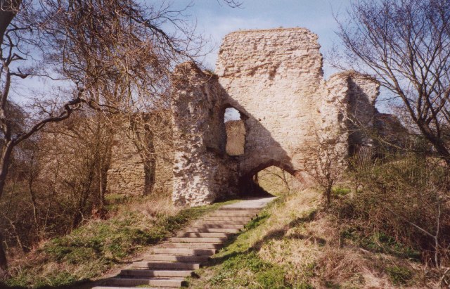
The heart of the village is its historic parish church, which dates back to the 14th century. This beautiful stone church, dedicated to St. Mary, is a prominent feature of Newton's landscape. The village also boasts a village hall, which serves as a hub for local events, gatherings, and activities.

Despite its small size, Newton offers a range of amenities to its residents. These include a primary school, a post office, a village shop, and a pub. The local pub, with its cozy atmosphere and friendly staff, provides a welcoming space for locals and visitors alike.

For nature enthusiasts, Newton is ideally located with access to numerous walking and cycling routes. The surrounding countryside offers breathtaking views and opportunities to explore the great outdoors. Additionally, the village is conveniently located near popular tourist attractions such as the Black Mountains and the Offa's Dyke Path.

Overall, Newton, Herefordshire is a charming and idyllic village that provides a peaceful rural retreat for its residents and visitors seeking a taste of English countryside living.

If you have any feedback on the listing, please let us know in the comments section below.
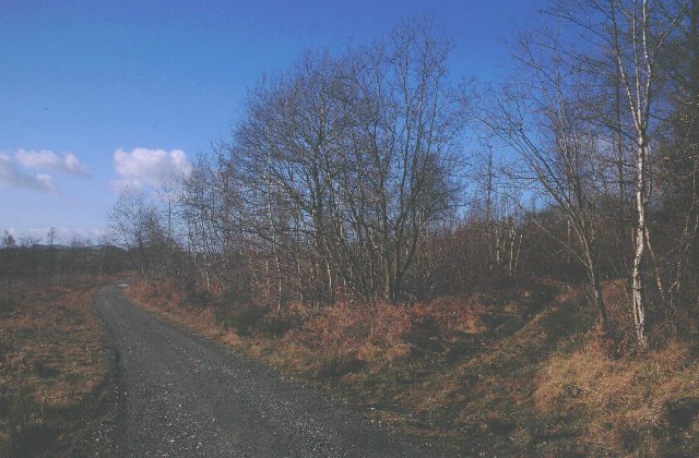
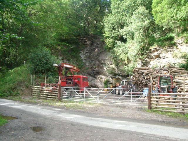
Newton Images

Images are sourced within 2km of 52.319251/-2.9209179 or Grid Reference SO3769. Thanks to Geograph Open Source API. All images are credited.

Wigmore Rolls Forested hill above Wigmore.
Wigmore Rolls
Forested hill above Wigmore.
The lane between Birtley Cross and Birtley looking east towards The Mount
The lane between Birtley Cross and Birtley
looking east towards The Mount
Road junction at Birtley looking north-west along the lane from Birtley Cross
Road junction at Birtley
looking north-west along the lane from Birtley Cross
Old quarry west of Birtley at the southern edge of Pedwardine Wood
Old quarry west of Birtley
at the southern edge of Pedwardine Wood
Hillside south of Cwm-Crave Wood Looking North along the valley above Lingen
Hillside south of Cwm-Crave Wood
Looking North along the valley above Lingen
The Farlands Shobdon Hill Wood in the distance
The Farlands
Shobdon Hill Wood in the distance
Cattle, above Lodge Farm Winter fodder for cattle, put out in a small oakwood. Wigmore Rolls in the background.
Cattle, above Lodge Farm
Winter fodder for cattle, put out in a small oakwood. Wigmore Rolls in the background.
Quarry above Deerfold Limestone quarry, now overgrown, above Deerfold Cottage.
Quarry above Deerfold
Limestone quarry, now overgrown, above Deerfold Cottage.
The Mount Large hilltop house.
The Mount
Large hilltop house.
Newton Newton is simply a farm and row of terraced houses.
Newton
Newton is simply a farm and row of terraced houses.
Newton Row of houses, Newton
Newton
Row of houses, Newton
Deerfold View across stubble to hills above Lingen. Often ground as steep as the background remains wooded. That combined with the placename suggests that this may have been a hunting forest, like Bringewood the other side of Wigmore.
Deerfold
View across stubble to hills above Lingen. Often ground as steep as the background remains wooded. That combined with the placename suggests that this may have been a hunting forest, like Bringewood the other side of Wigmore.
Lingen is a place.... .... where nothing ever happens!

A tree at Cross of the Tree, with a notice board detailing the heady activity of life in North Herefordshire.
Lingen is a place....
.... where nothing ever happens! A tree at Cross of the Tree, with a notice board detailing the heady activity of life in North Herefordshire.
Sheep Pasture This large field is hemmed in between Wigmore Wood and the byway up from Letton.  The byway is overgrown and blocked with dumped grass and other detritus where it leaves the public road (as at June 2008), but a farm track parallels it on the other side of the fence. Access is straightforward, provided you have long enough legs to negotiate a couple of electric fences!
Sheep Pasture
This large field is hemmed in between Wigmore Wood and the byway up from Letton. The byway is overgrown and blocked with dumped grass and other detritus where it leaves the public road (as at June 2008), but a farm track parallels it on the other side of the fence. Access is straightforward, provided you have long enough legs to negotiate a couple of electric fences!
The Mount From the lane north of Lingen looking north-east to The Mount and Deerfold Cottage on its flank.
The Mount
From the lane north of Lingen looking north-east to The Mount and Deerfold Cottage on its flank.
Birtley Scattered houses make up this little community. Looking north-east along the road to Letton with a left turn for Birtley village. In the distance is the wooded hillside of Wigmore Rolls.
Birtley
Scattered houses make up this little community. Looking north-east along the road to Letton with a left turn for Birtley village. In the distance is the wooded hillside of Wigmore Rolls.
Newton View north-east along the road to Letton. The buildings of Newton Farm on the right and Newton Cottage on the left. Wigmore Rolls on the right horizon.
Newton
View north-east along the road to Letton. The buildings of Newton Farm on the right and Newton Cottage on the left. Wigmore Rolls on the right horizon.
Road to Letton Looking north-east with Wigmore Rolls on the right.
Road to Letton
Looking north-east with Wigmore Rolls on the right.
Show me another place!

Newton is located at Grid Ref: SO3769 (Lat: 52.319251, Lng: -2.9209179)

Unitary Authority: County of Herefordshire

Police Authority: West Mercia

What 3 Words

///sweated.claps.postings. Near Lingen, Herefordshire

Nearby Locations

Newton

Related Wikis

Nearby Amenities

Located within 500m of 52.319251,-2.9209179
Power: pole
Source: bing
Lat/Long: 52.3160561/-2.9176909
Power: pole
Source: bing
Lat/Long: 52.3167533/-2.9187274
Power: pole
Source: bing
Lat/Long: 52.3172727/-2.9194665
Power: pole
Source: bing
Lat/Long: 52.3180859/-2.9206708
Barrier: stile
Lat/Long: 52.3187139/-2.9250562
The data included in this document is from www.openstreetmap.org. The data is made available under ODbL.

Have you been to Newton?

Leave your review of Newton below (or comments, questions and feedback).