Newport
Settlement in Essex Uttlesford
England
Newport
Newport is a small village located in the county of Essex, England. Situated near the border with Suffolk, it is part of the Uttlesford district. With a population of around 2,000 residents, Newport is a close-knit community that offers a charming and picturesque setting.
The village is surrounded by beautiful countryside, making it an ideal place for nature lovers and outdoor enthusiasts. The River Stour flows nearby, adding to the scenic appeal of the area. Newport is known for its idyllic landscapes, with rolling hills, green fields, and quaint cottages dotting the countryside.
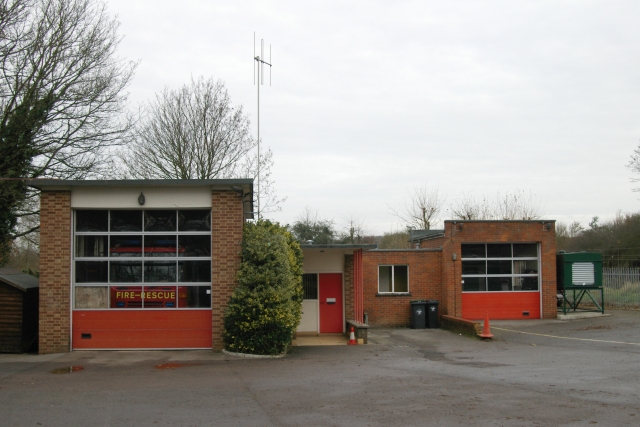
Despite its small size, Newport has a range of amenities and services to cater to the needs of its residents. The village boasts a primary school, a village hall, a post office, a few local shops, and a couple of pubs. Additionally, there is a regular bus service that connects Newport to nearby towns and cities, providing easy access to larger facilities.
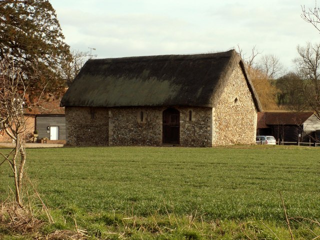
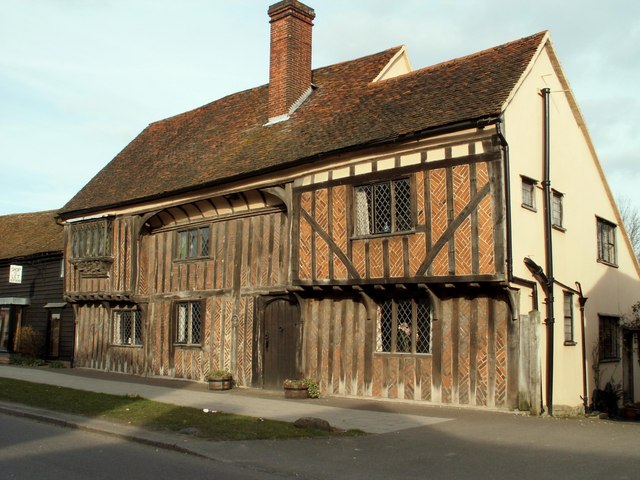
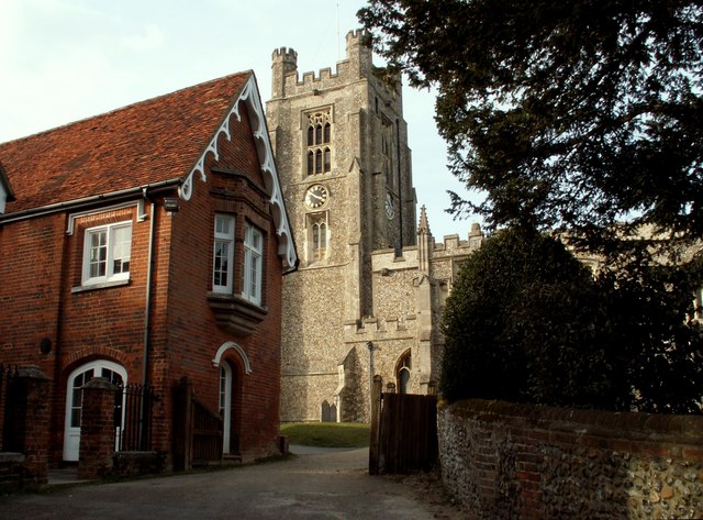
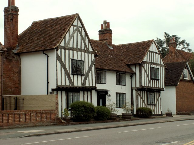
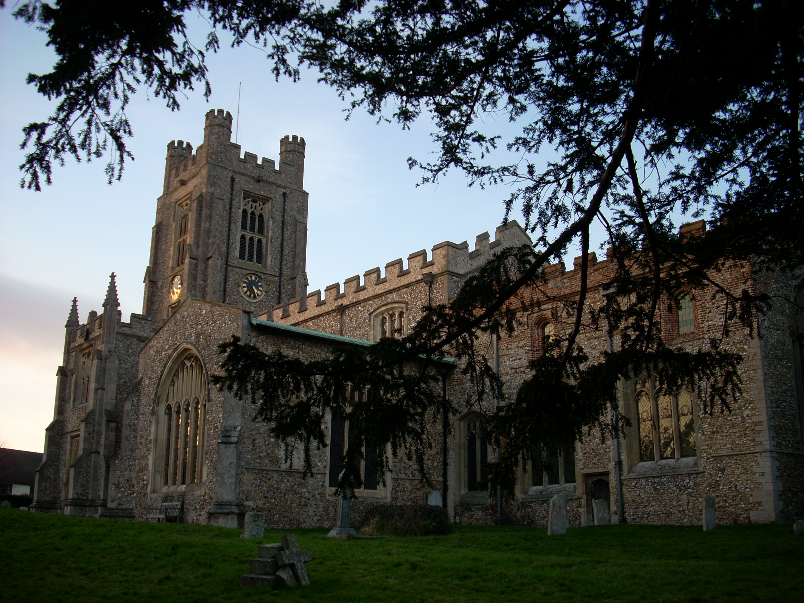
Newport has a rich history, evident in its architecture and landmarks. The village church, St. Mary the Virgin, is a prominent feature, dating back to the 13th century. Its medieval tower stands tall and serves as a reminder of Newport's past. The village also hosts various events throughout the year, including a summer fete and a Christmas market, which bring the community together.
Overall, Newport, Essex offers a peaceful and traditional village lifestyle, with beautiful surroundings and a strong sense of community spirit. It provides an escape from the hustle and bustle of city life while still offering essential amenities and a connection to the wider region.
If you have any feedback on the listing, please let us know in the comments section below.
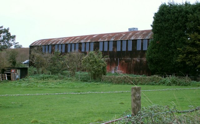
Newport Images
Images are sourced within 2km of 51.983803/0.214405 or Grid Reference TL5234. Thanks to Geograph Open Source API. All images are credited.


Newport is located at Grid Ref: TL5234 (Lat: 51.983803, Lng: 0.214405)
Administrative County: Essex
District: Uttlesford
Police Authority: Essex
What 3 Words
///tracks.pencils.inventors. Near Saffron Walden, Essex
Nearby Locations
Related Wikis
Newport, Essex
Newport is a large village and civil parish in the Uttlesford district in Essex, near Saffron Walden. The village has a population of over 2,000, measured...
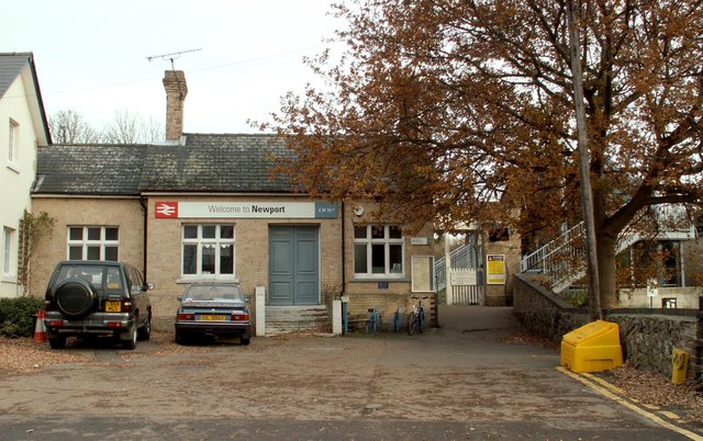
Newport railway station (Essex)
Newport railway station is on the West Anglia Main Line serving the village of Newport in Essex, England. It is 39 miles 72 chains (64.2 km) down the line...

Joyce Frankland Academy
Joyce Frankland Academy, Newport, formerly Newport Free Grammar School, is a school in Newport, Essex, England. It was founded in 1588. The school is a...
Leper Stone
The Leper Stone or Newport Stone (grid reference TL520349) is a large sarsen stone near the village of Newport, Essex, England. The name Leper Stone probably...

Chapel of St Helen
Chapel of St Helen (also St Helen's Chapel) is an ancient religious building in Wicken Bonhunt, north-west Essex. It dates from around the 11th century...
Saffron Walden Rural District
Saffron Walden Rural District was a rural district in the county of Essex, England. It was created in 1894 and later enlarged by the addition of the parishes...

Debden Water SSSI
Debden Water SSSI is a 20.9-hectare (52-acre) biological Site of Special Scientific Interest which comprises two stretches of Debden Water, a small tributary...

Audley End railway station
Audley End railway station is on the West Anglia Main Line serving the village of Wendens Ambo and the town of Saffron Walden in Essex, England. It is...
Nearby Amenities
Located within 500m of 51.983803,0.214405Have you been to Newport?
Leave your review of Newport below (or comments, questions and feedback).