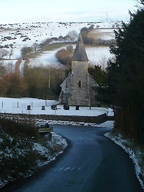
Newchurch
Settlement in Radnorshire
Wales
Newchurch
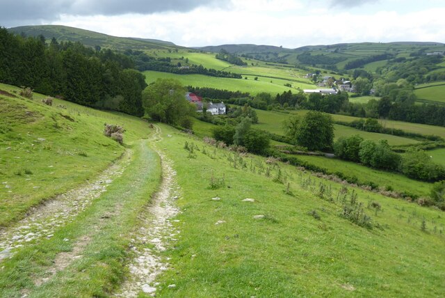
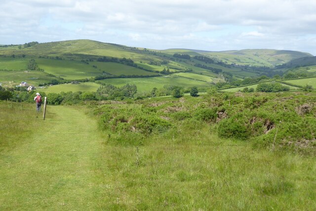
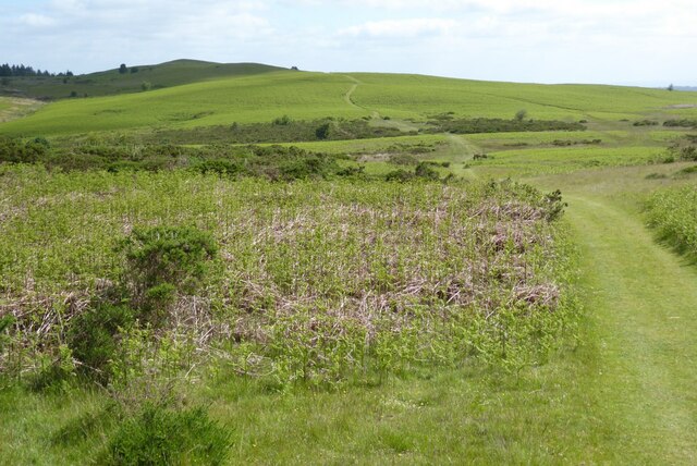
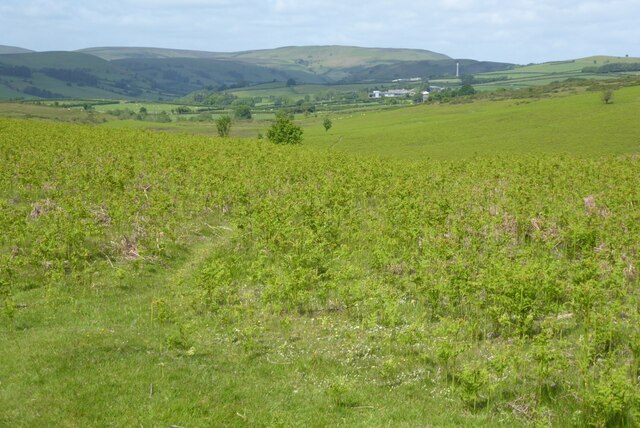
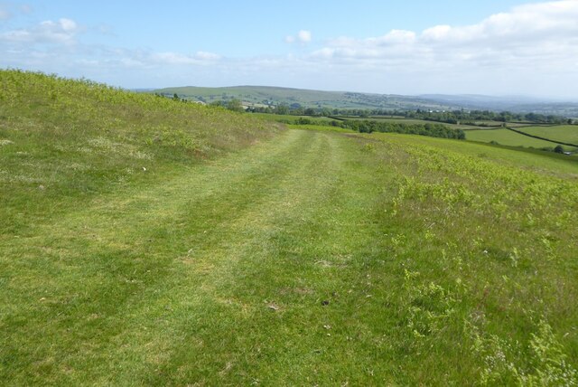
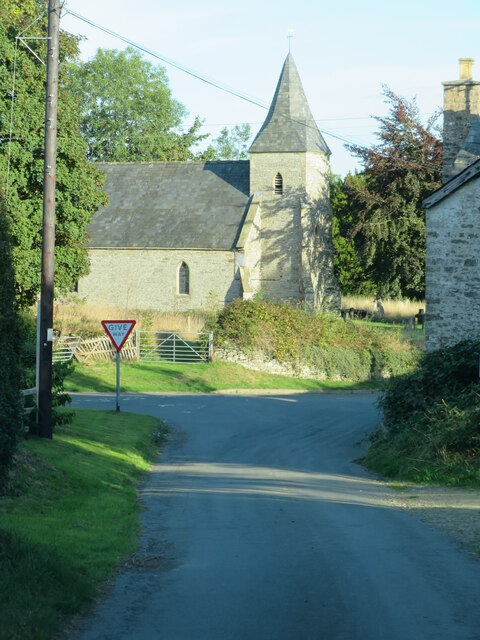
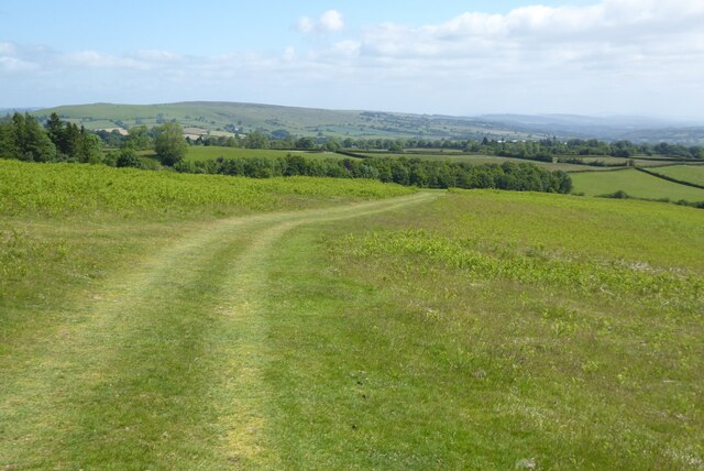
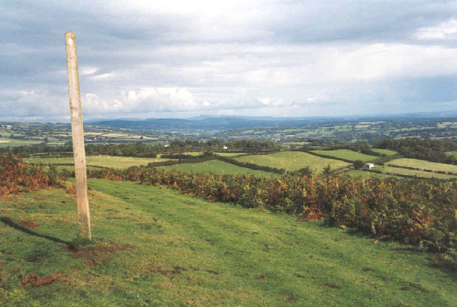
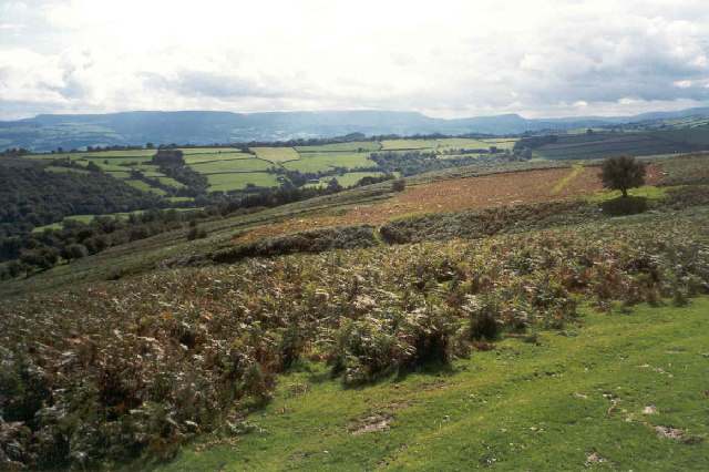
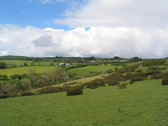
Newchurch is a small village situated in the historic county of Radnorshire, Wales. Located in the heart of the picturesque countryside, it is surrounded by rolling hills, lush meadows, and dense woodlands, offering residents and visitors a serene and tranquil environment.
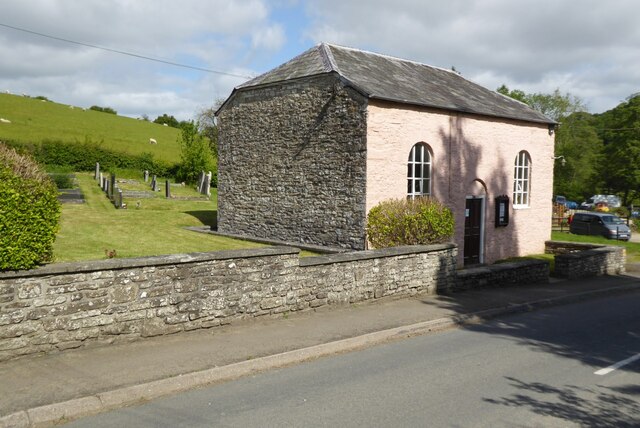
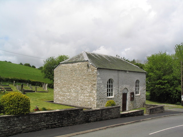
With a population of around 300 people, Newchurch maintains a close-knit community atmosphere. The village is characterized by charming stone cottages, some of which date back to the 17th century, giving it a distinctive and timeless feel.
The village is served by a local pub, The Red Lion, which is a popular gathering spot for locals and visitors alike. It offers a warm and friendly atmosphere, along with traditional pub fare and a selection of local ales.
Newchurch is renowned for its beautiful natural surroundings, attracting nature enthusiasts and walkers. The nearby Radnor Forest provides ample opportunities for outdoor activities such as hiking, cycling, and birdwatching. The region is home to a diverse range of wildlife, including red kites, buzzards, and various species of deer.
While Newchurch itself lacks major amenities, the nearby town of Presteigne, situated just a short drive away, offers a wider range of services including shops, schools, and healthcare facilities.
All in all, Newchurch is a peaceful and idyllic village that provides residents and visitors with a chance to escape the hustle and bustle of modern life and immerse themselves in the tranquility of the Welsh countryside.
If you have any feedback on the listing, please let us know in the comments section below.
Newchurch Images
Images are sourced within 2km of 52.149712/-3.144357 or Grid Reference SO2150. Thanks to Geograph Open Source API. All images are credited.
Newchurch is located at Grid Ref: SO2150 (Lat: 52.149712, Lng: -3.144357)
Unitary Authority: Powys
Police Authority: Dyfed Powys
Also known as: Yr Eglwys Newydd
What 3 Words
///voltage.crouches.revolts. Near Clifford, Herefordshire
Nearby Locations
Related Wikis

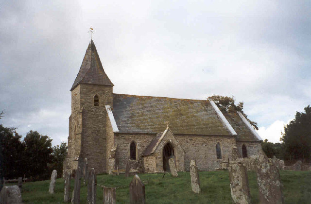
Newchurch, Powys
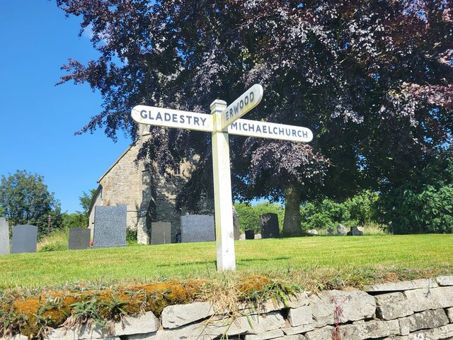
Newchurch is a small rural village in Powys, Wales, centred around St Mary's Church. The village is within the community of Gladestry, about 5 miles (8...
Baynham Hall
Baynham Hall is a Grade II* listed 17th -century manor house located in Michaelchurch-On-Arrow, Gladestry, Powys, Wales. Originally built circa 1700, the...
Rhos Goch National Nature Reserve
Rhos Goch National Nature Reserve, located near Painscastle on the England/Wales border, is one of the largest raised bogs in mid and south Wales. ‘Goch...

Gladestry
Gladestry (Welsh: Llanfair Llythynwg) is a small village and community in Radnorshire, Powys, mid-Wales, close to the border with England at the end of...
Nearby Amenities
Located within 500m of 52.149712,-3.144357Have you been to Newchurch?
Leave your review of Newchurch below (or comments, questions and feedback).