Eglwys Newydd, Yr
Settlement in Radnorshire
Wales
Eglwys Newydd, Yr
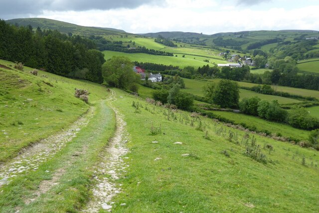
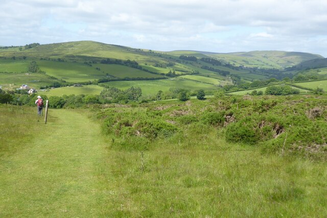
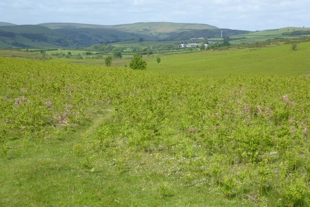
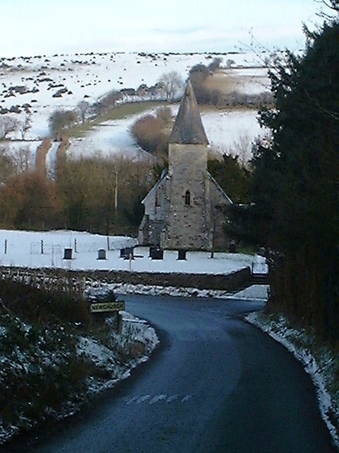
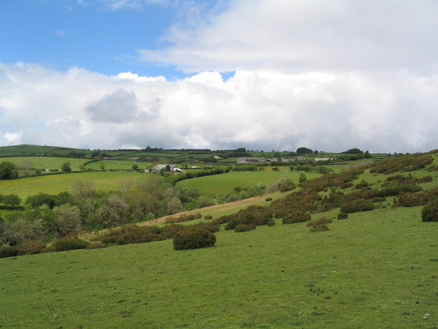
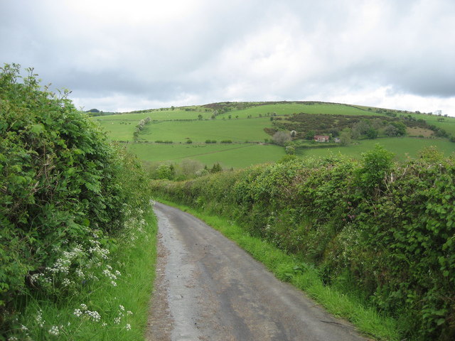
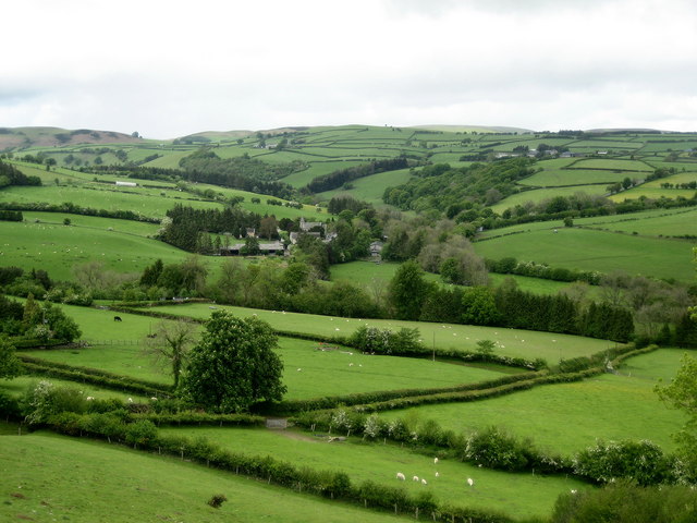
Eglwys Newydd is a small village located in the county of Radnorshire, Wales. Situated in the heart of the countryside, it is surrounded by picturesque rolling hills and lush green fields. The village is known for its tranquil and idyllic setting, making it a popular destination for those seeking a peaceful retreat or a chance to reconnect with nature.
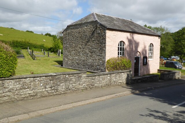
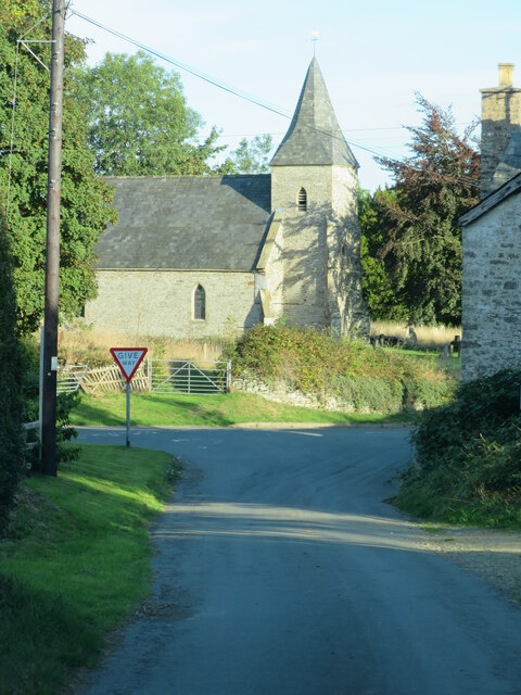
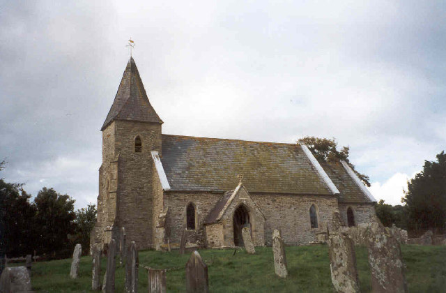
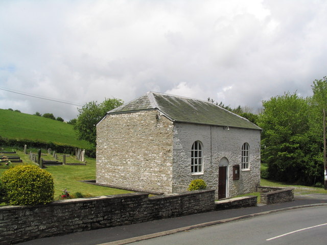
The name Eglwys Newydd translates to "New Church" in English, reflecting the presence of a historical church within the village. The church, which dates back several centuries, is an architectural gem and a testament to the village's rich history. Its striking design and well-preserved features make it a notable landmark and a point of pride for the local community.
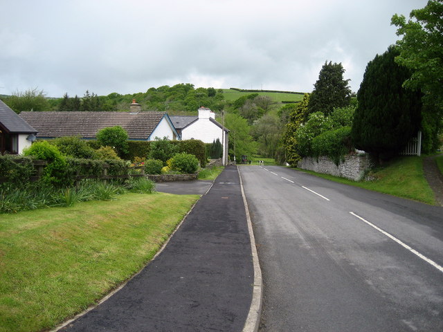
Despite its small size, Eglwys Newydd offers a range of amenities and services to its residents and visitors. These include a village hall, a primary school, and a few local shops and businesses. The village also benefits from its proximity to larger towns and cities, with good transport links providing easy access to the wider region.
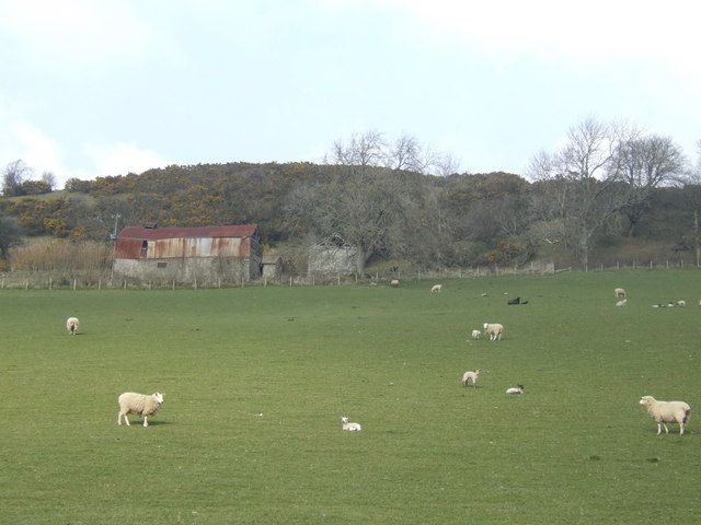
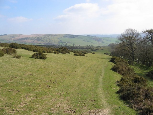
Eglwys Newydd is an ideal location for outdoor enthusiasts, with plenty of opportunities for walking, hiking, and cycling in the surrounding countryside. The village is also within close proximity to the Radnor Forest, a designated Area of Outstanding Natural Beauty, which offers further opportunities for exploration and outdoor activities.
Overall, Eglwys Newydd is a charming and peaceful village, perfect for those seeking a rural retreat or a chance to experience the beauty of the Radnorshire countryside.
If you have any feedback on the listing, please let us know in the comments section below.
Eglwys Newydd, Yr Images
Images are sourced within 2km of 52.14262/-3.155829 or Grid Reference SO2150. Thanks to Geograph Open Source API. All images are credited.

Eglwys Newydd, Yr is located at Grid Ref: SO2150 (Lat: 52.14262, Lng: -3.155829)
Unitary Authority: Powys
Police Authority: Dyfed Powys
Also known as: Newchurch
What 3 Words
///iterative.require.suspended. Near Clifford, Herefordshire
Nearby Locations
Related Wikis

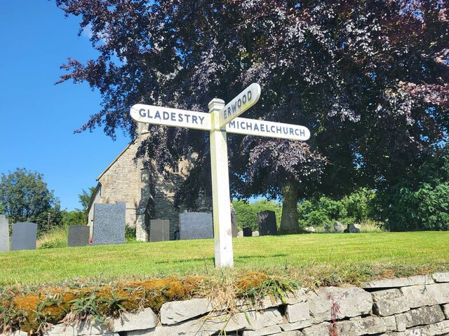
Newchurch, Powys
Newchurch is a small rural village in Powys, Wales, centred around St Mary's Church. The village is within the community of Gladestry, about 5 miles (8...
Rhos Goch National Nature Reserve
Rhos Goch National Nature Reserve, located near Painscastle on the England/Wales border, is one of the largest raised bogs in mid and south Wales. ‘Goch...
Baynham Hall
Baynham Hall is a Grade II* listed 17th -century manor house located in Michaelchurch-On-Arrow, Gladestry, Powys, Wales. Originally built circa 1700, the...

Rhydspence Inn
The Rhydspence Inn is a 14th-century inn situated on the Wales-England border and within the Wye Valley overlooking the Welsh hills and Herefordshire countryside...
Nearby Amenities
Located within 500m of 52.14262,-3.155829Have you been to Eglwys Newydd, Yr?
Leave your review of Eglwys Newydd, Yr below (or comments, questions and feedback).