Bermuda
Settlement in Warwickshire Nuneaton and Bedworth
England
Bermuda
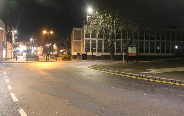
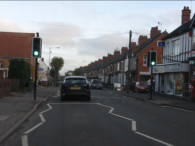
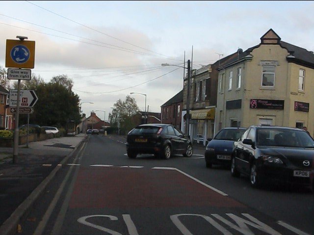
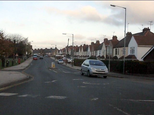
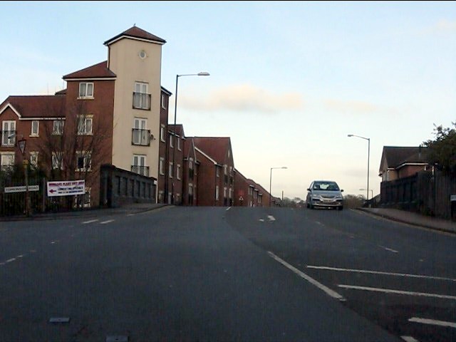
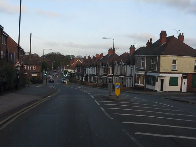
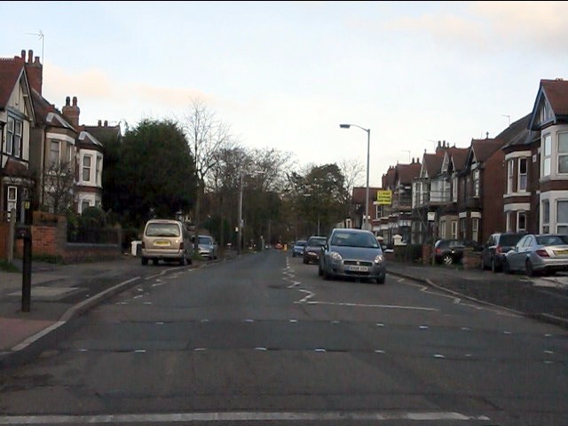
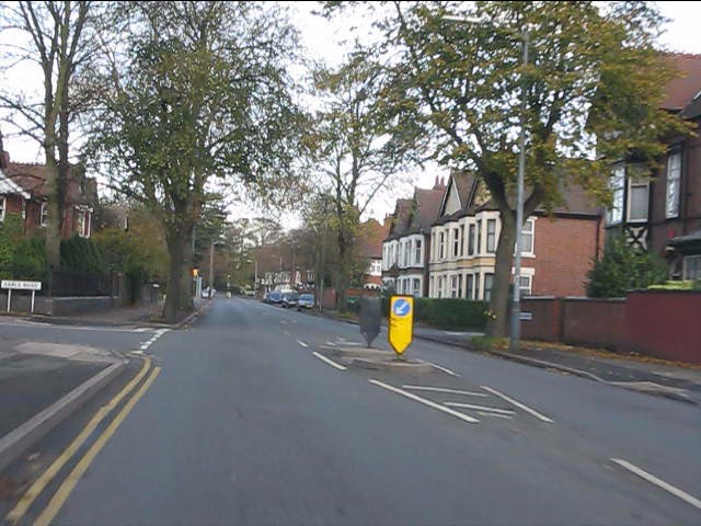
Bermuda is a small village located in the county of Warwickshire, in the heart of England. Situated approximately 4 miles south-west of the town of Nuneaton, it is a charming and picturesque settlement with a population of around 5,000 residents.
The village is known for its rich historical heritage, dating back to the medieval period. The Bermuda Manor, a striking 16th-century building, stands as a testament to the village's past. This stunning manor house was once home to the influential De Bermingham family, who were prominent landowners in the area.
Surrounded by beautiful countryside, Bermuda is a haven for nature lovers and outdoor enthusiasts. The nearby Bermuda Park offers a range of recreational activities, including walking trails, picnic areas, and a lake for fishing. The village is also home to several parks and green spaces, providing residents with ample opportunities for outdoor leisure activities.
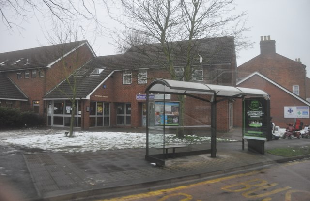
Bermuda boasts a close-knit community and a range of amenities to cater to its residents' needs. The village has a primary school, a post office, a library, and a variety of shops and local businesses. Additionally, there are several pubs and restaurants where locals and visitors can enjoy traditional British cuisine and a friendly atmosphere.
With its idyllic setting, historical significance, and strong sense of community, Bermuda, Warwickshire, offers a tranquil and welcoming environment for those seeking a peaceful village lifestyle.
If you have any feedback on the listing, please let us know in the comments section below.
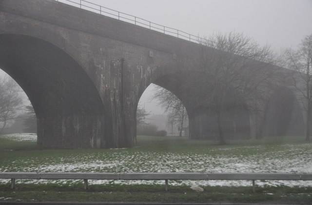
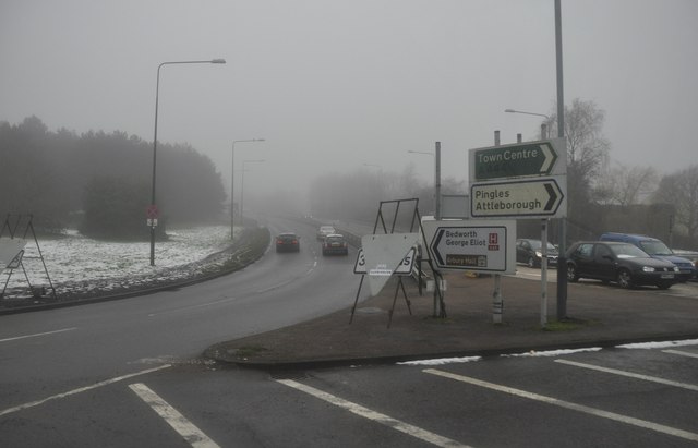
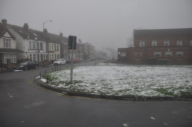
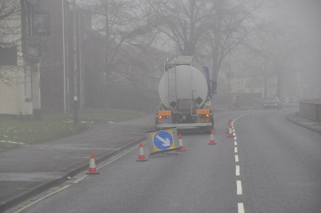
Bermuda Images
Images are sourced within 2km of 52.506444/-1.47782 or Grid Reference SP3589. Thanks to Geograph Open Source API. All images are credited.

Bermuda is located at Grid Ref: SP3589 (Lat: 52.506444, Lng: -1.47782)
Administrative County: Warwickshire
District: Nuneaton and Bedworth
Police Authority: Warwickshire
What 3 Words
///spicy.daisy.saves. Near Attleborough, Warwickshire
Nearby Locations
Related Wikis

Bermuda, Warwickshire
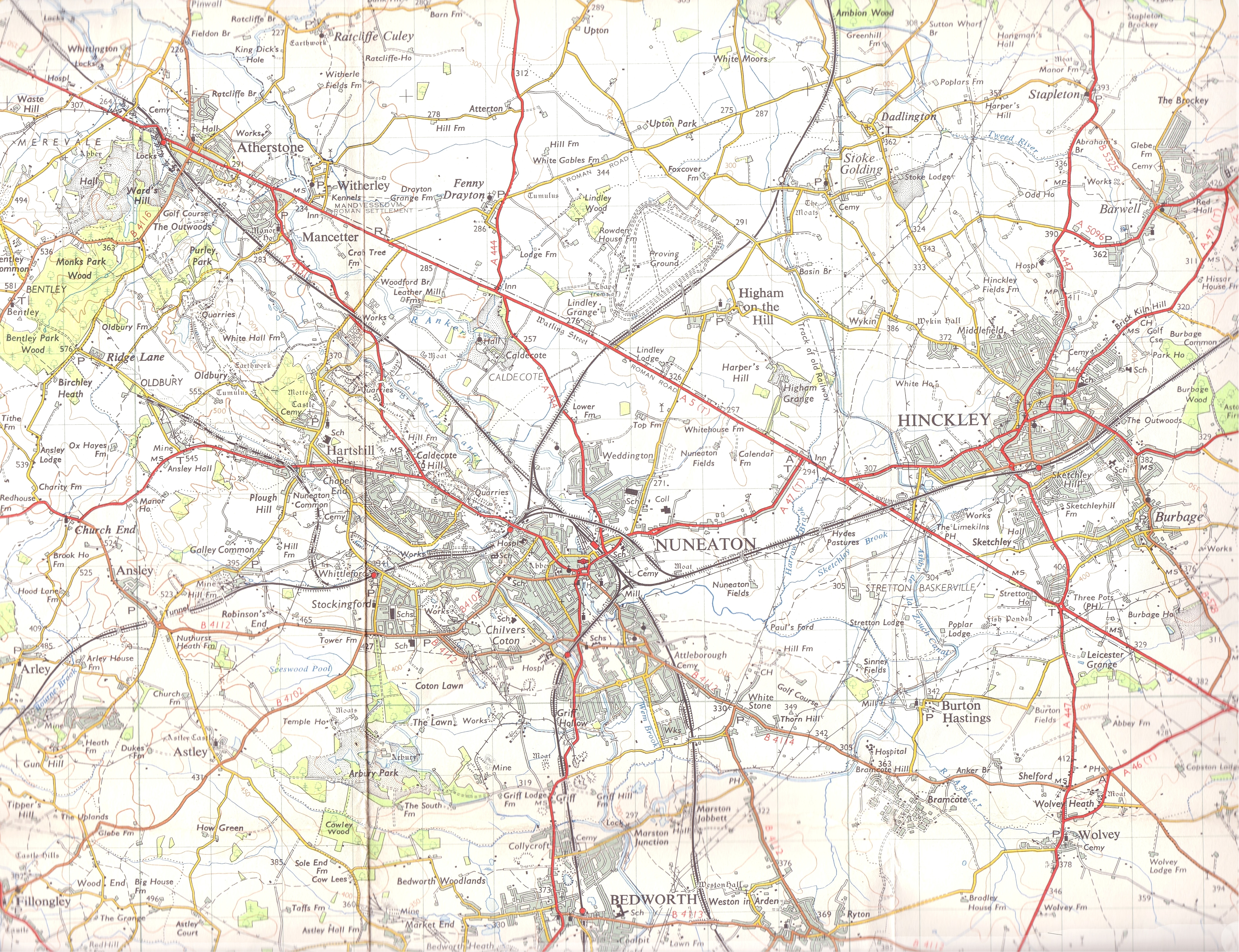
Bermuda is a suburb of Nuneaton in the English county of Warwickshire. Bermuda was originally a small pit village built in 1893 to house workers for the...

George Eliot Hospital
George Eliot Hospital is a single site hospital located in Nuneaton, Warwickshire, it is managed by the George Eliot Hospital NHS Trust. It provides a...

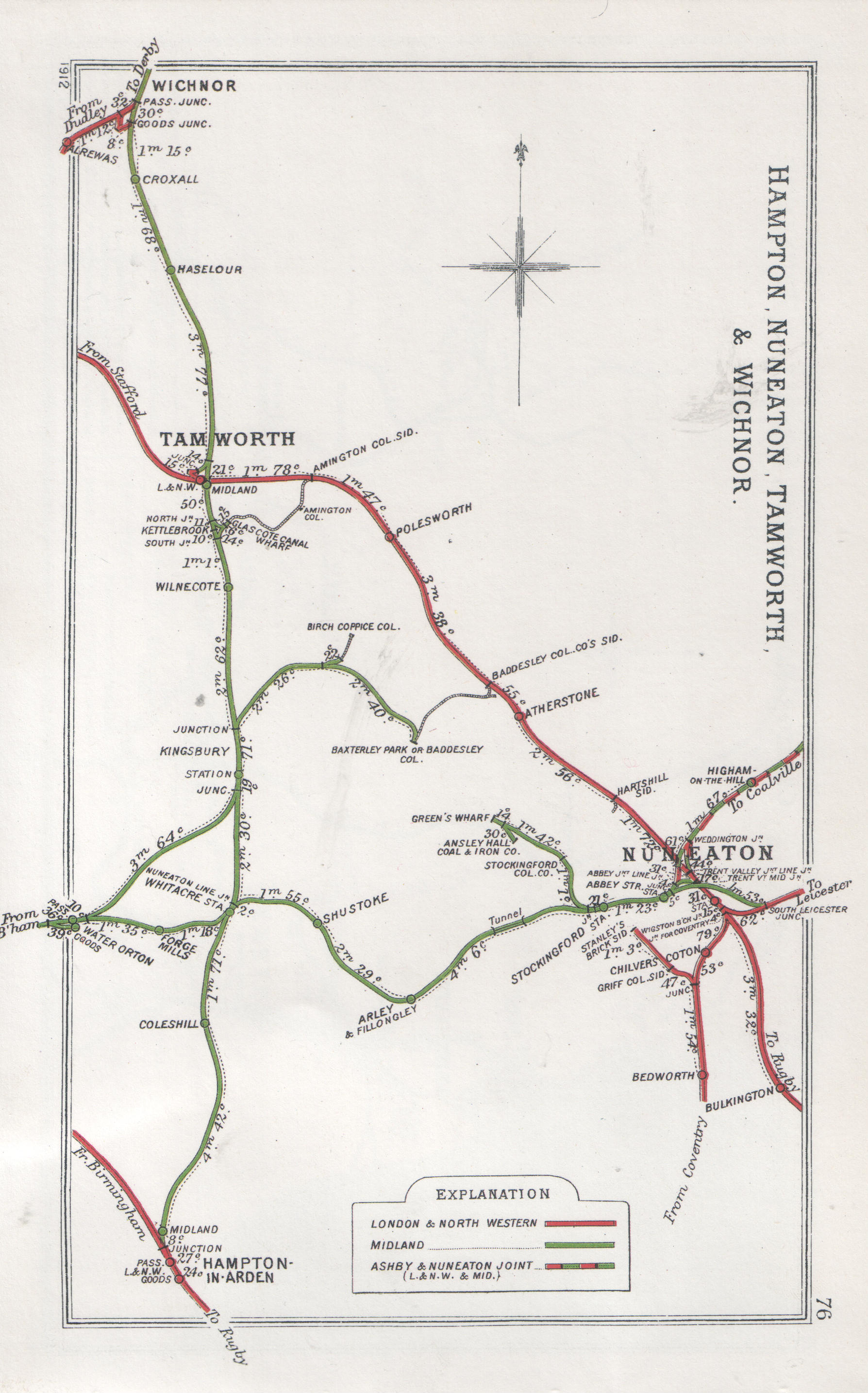
Bermuda Park railway station
Bermuda Park railway station is a railway station in the Bermuda area of Nuneaton, Warwickshire, England. It serves the Bermuda Park Industrial Estate...
George Eliot Hospital NHS Trust
The George Eliot Hospital NHS Trust runs George Eliot Hospital in Nuneaton, Warwickshire, England and the Urgent Care Centre at Leicester Royal Infirmary...
Chilvers Coton railway station
Chilvers Coton was a railway station on the Coventry to Nuneaton Line, which served the Chilvers Coton area of Nuneaton, south of the town centre. It opened...

Griff and Coton Ground
The Griff and Coton Ground is a cricket ground in Nuneaton, Warwickshire. The ground is located off the Heath End Road and forms part of a wider sports...
Griff, Warwickshire
Griff is a hamlet in the Nuneaton and Bedworth district of Warwickshire, England. The hamlet is on the A444 road between the towns of Nuneaton and Bedworth...
Chilvers Coton
Chilvers Coton is an area of the town of Nuneaton in Warwickshire, England, around one mile south of the town centre.Chilvers Coton was historically a...
Nearby Amenities
Located within 500m of 52.506444,-1.47782Have you been to Bermuda?
Leave your review of Bermuda below (or comments, questions and feedback).