Bermondsey
Settlement in Surrey
England
Bermondsey
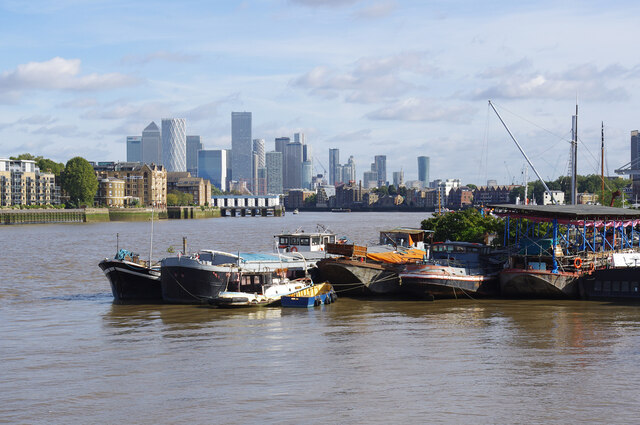
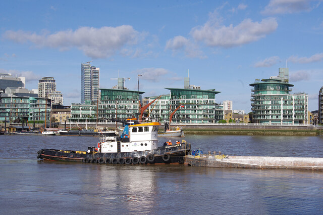
Bermondsey is a district located in the southern part of the London Borough of Southwark, England. It is situated on the south bank of the River Thames and is bordered by the neighborhoods of Rotherhithe, Elephant and Castle, Borough, and Walworth. While historically part of Surrey, it is now part of Greater London.
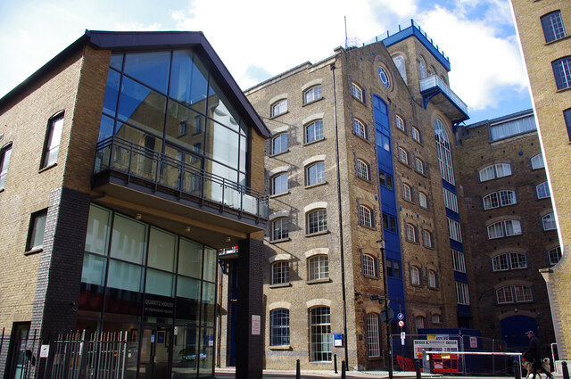
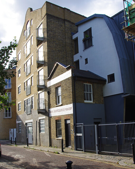
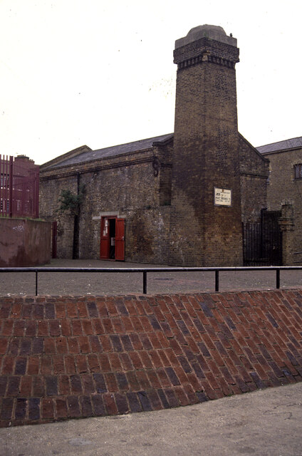
Once an industrial area known for its docks and warehouses, Bermondsey has undergone significant regeneration and is now a vibrant and diverse district. The area is populated with a mix of residential, commercial, and cultural spaces. Its proximity to central London makes it a desirable location for both residents and businesses.
Bermondsey Street is a bustling hub of activity, with a wide range of independent shops, cafes, bars, and restaurants. The area is also home to the renowned White Cube art gallery and the Fashion and Textile Museum. Bermondsey is famous for its food scene, with the popular Bermondsey Beer Mile offering a range of craft breweries and taprooms.
The district is well-connected via public transport, with several Underground and Overground stations serving the area. Bermondsey Station is on the Jubilee Line, providing easy access to other parts of London. Additionally, numerous bus routes serve the area, making it easily accessible for commuters and visitors.
Bermondsey is home to a number of notable landmarks, including the historic Tower Bridge, which connects the district to the City of London. The area also boasts several green spaces, such as Bermondsey Spa Gardens and Southwark Park, providing residents with recreational opportunities.
Overall, Bermondsey offers a unique blend of history, culture, and modern amenities, making it an attractive place to live, work, and visit.
If you have any feedback on the listing, please let us know in the comments section below.
Bermondsey Images
Images are sourced within 2km of 51.50123/-0.072252 or Grid Reference TQ3379. Thanks to Geograph Open Source API. All images are credited.
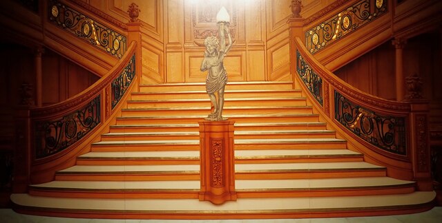
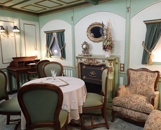
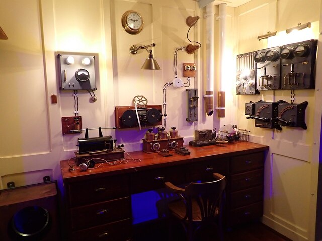
![Titanic Exhibition - Corridor A mock-up of one of the corridors on the Titanic at the exhibition currently being held at Canada Water. [2022 link] <span class="nowrap"><a title="https://titanicexhibitionlondon.com" rel="nofollow ugc noopener" href="https://titanicexhibitionlondon.com">Link</a><img style="margin-left:2px;" alt="External link" title="External link - shift click to open in new window" src="https://s1.geograph.org.uk/img/external.png" width="10" height="10"/></span>](https://s1.geograph.org.uk/geophotos/07/06/60/7066041_6f3cca3e.jpg)


Bermondsey is located at Grid Ref: TQ3379 (Lat: 51.50123, Lng: -0.072252)
Unitary Authority: Southwark
Police Authority: Metropolitan
What 3 Words
///judge.lives.hogs. Near City of London, London
Nearby Locations
Related Wikis
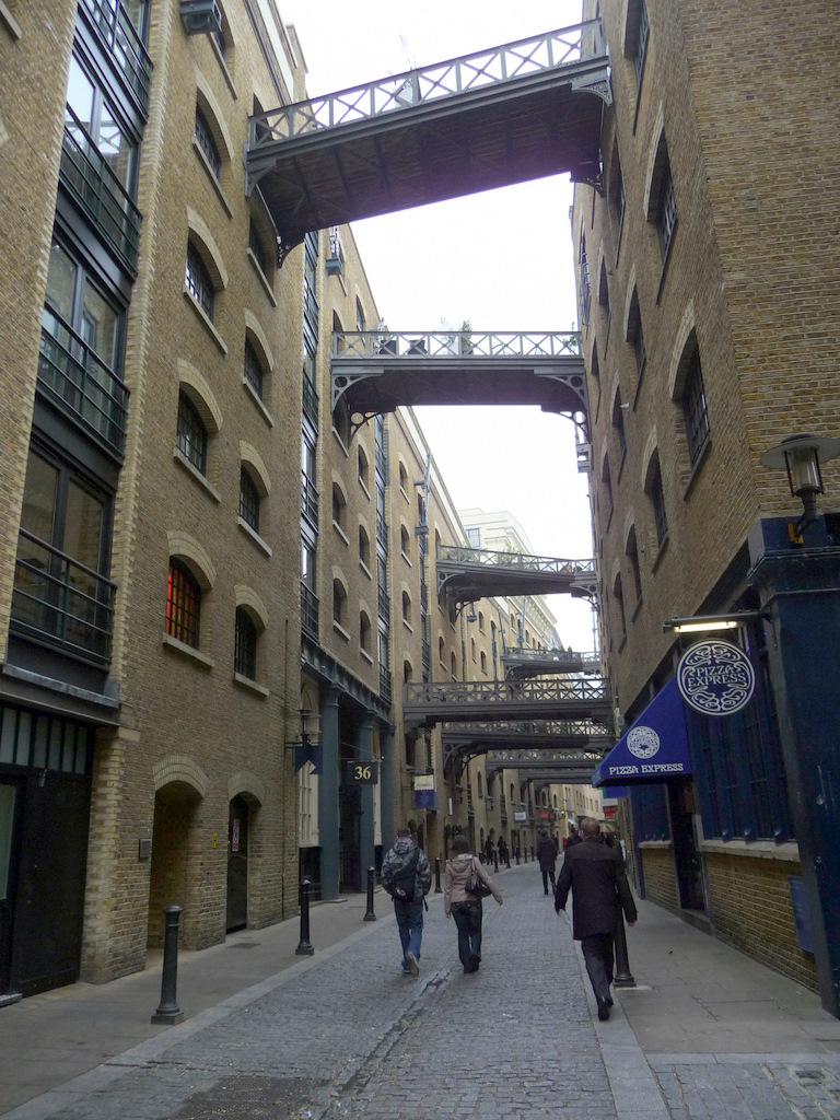
Shad Thames
Shad Thames is a historic riverside street next to Tower Bridge in Bermondsey, London, England, and is also an informal name for the surrounding area....
River Neckinger
The River Neckinger is a reduced subterranean river that rises in Southwark and flows approximately 2.5 kilometres (1.6 miles) through that part of London...
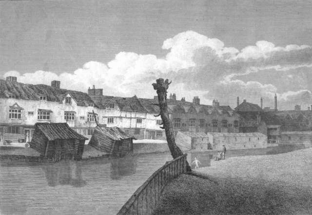
Jacob's Island
Jacob's Island was a notorious slum in Bermondsey, London, in the 19th century. It was located on the south bank of the River Thames, approximately delineated...

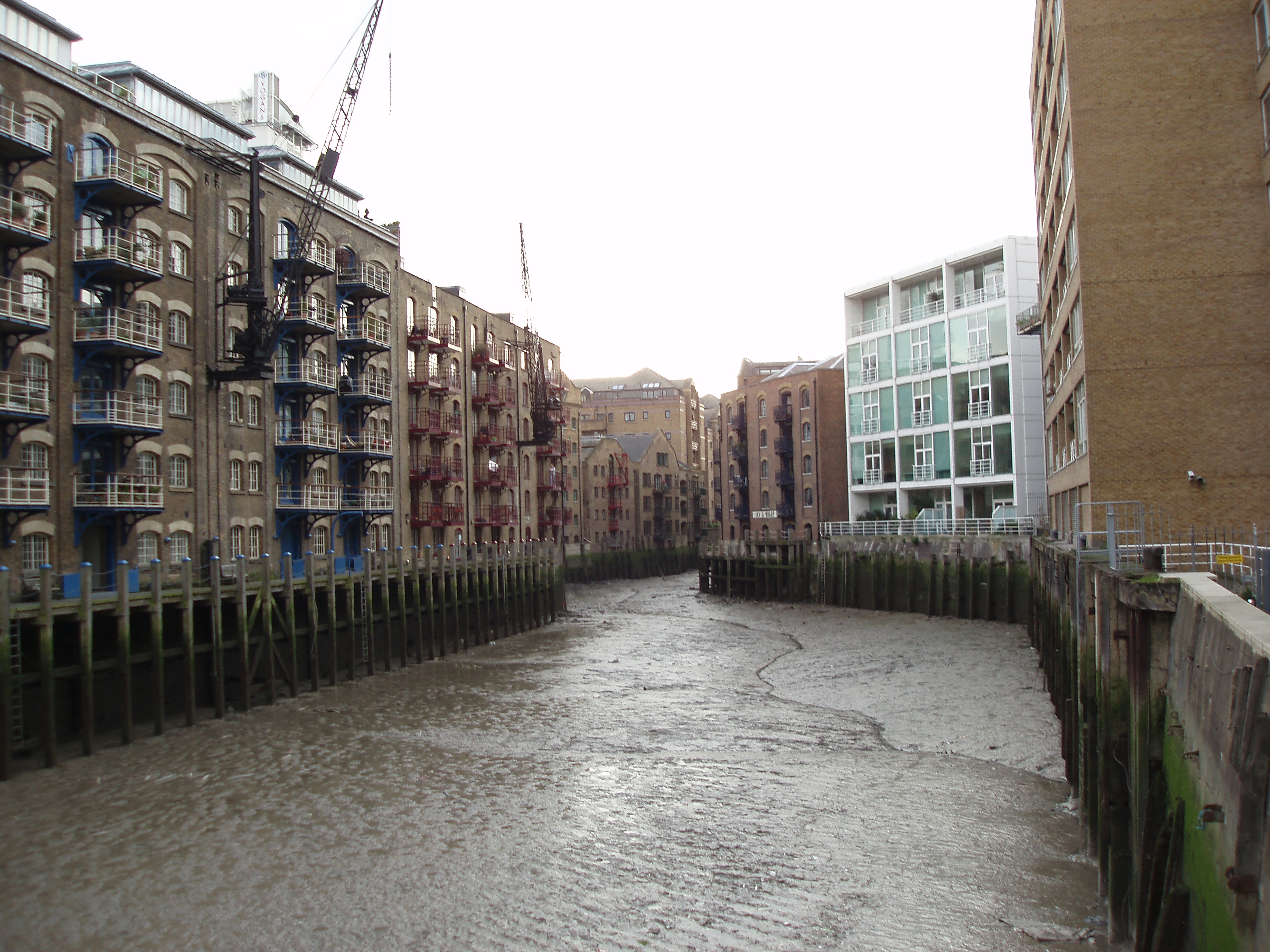
St Saviour's Dock
St Saviour's Dock is an inlet-style dock in London, England, on the south bank of the River Thames, 420 metres east of Tower Bridge. It forms the eastern...

China Wharf
China Wharf is a grade II listed residential building in Bermondsey, in London. It was designed in 1982–83 by Piers Gough of CZWG. == References ==

Event Communications
Event Communications, or Event, is one of Europe's longest-established and largest museum and visitor attraction design firms; it is headquartered in London...
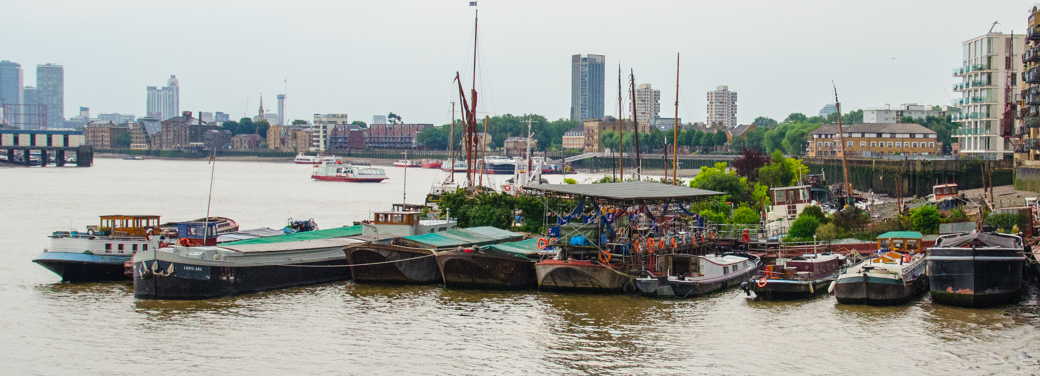
Downings Roads Moorings
Downings Roads Moorings is a mooring for barges on the River Thames near Tower Bridge that is home to a small community of houseboat dwellers in Central...

Devon Mansions
Devon Mansions are a set of five residential mansion block buildings situated along the south side of Tooley Street in Bermondsey, London. The buildings...
Nearby Amenities
Located within 500m of 51.50123,-0.072252Have you been to Bermondsey?
Leave your review of Bermondsey below (or comments, questions and feedback).