Achterneed
Settlement in Ross-shire
Scotland
Achterneed

Achterneed is a small rural village located in the Ross-shire region of the Scottish Highlands. Situated approximately 10 miles northwest of Inverness, it lies within the council area of Highland. The village is nestled in a picturesque setting, surrounded by rolling hills, lush green fields, and breathtaking landscapes.
Achterneed is known for its tranquil ambiance and natural beauty, attracting visitors seeking a peaceful retreat from the bustling city life. The village is primarily residential, with a small population of friendly and welcoming residents. The houses in Achterneed are traditional stone-built structures, adding to the village's charming character.
The village benefits from its close proximity to Inverness, which provides access to a range of amenities and services. Within a short drive, residents can find supermarkets, schools, healthcare facilities, and a variety of shops and restaurants.
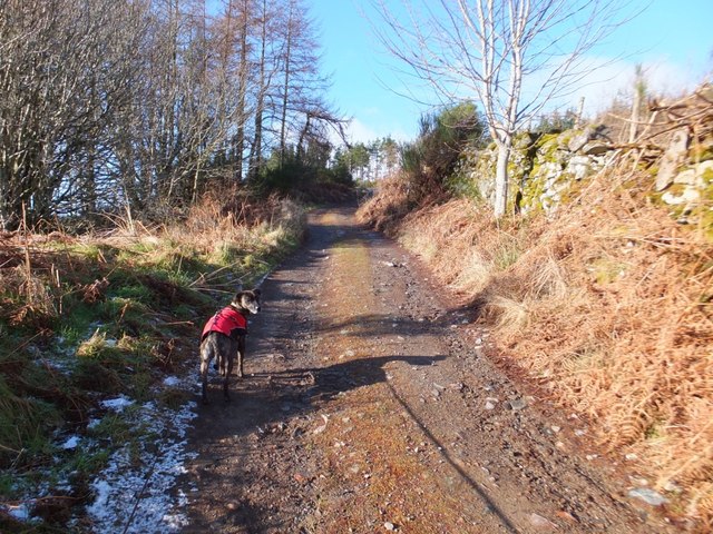
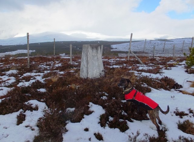
Outdoor enthusiasts will find Achterneed to be a haven for outdoor activities. The surrounding area offers ample opportunities for hiking, cycling, and nature walks. The nearby Monadhliath Mountains provide a stunning backdrop for exploring the Scottish wilderness.
Achterneed is also conveniently located near several historical attractions. The iconic Culloden Battlefield, where the Jacobite Rising of 1745 came to a tragic end, is just a short distance away. Additionally, the famous Loch Ness is within easy reach, allowing visitors to indulge in the legend of the Loch Ness Monster.
Overall, Achterneed is a charming village that offers a peaceful and scenic getaway in the heart of the Scottish Highlands.
If you have any feedback on the listing, please let us know in the comments section below.
Achterneed Images
Images are sourced within 2km of 57.600953/-4.529667 or Grid Reference NH4859. Thanks to Geograph Open Source API. All images are credited.


Achterneed is located at Grid Ref: NH4859 (Lat: 57.600953, Lng: -4.529667)
Unitary Authority: Highland
Police Authority: Highlands and Islands
What 3 Words
///barn.submerged.ruin. Near Strathpeffer, Highland
Nearby Locations
Related Wikis
Achterneed
Achterneed (Scottish Gaelic: Uachdar Niad), also spelled Auchterneed, is a village in Highland, Scotland, lying on the slopes above Strath Peffer. Achterneed...

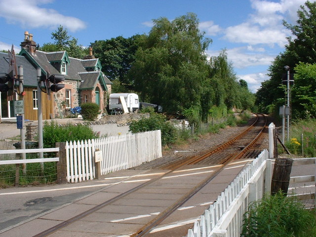
Achterneed railway station
Achterneed railway station was a railway station serving Strathpeffer and located on the Kyle of Lochalsh Line, in Wester Ross, Scotland. == History... ==
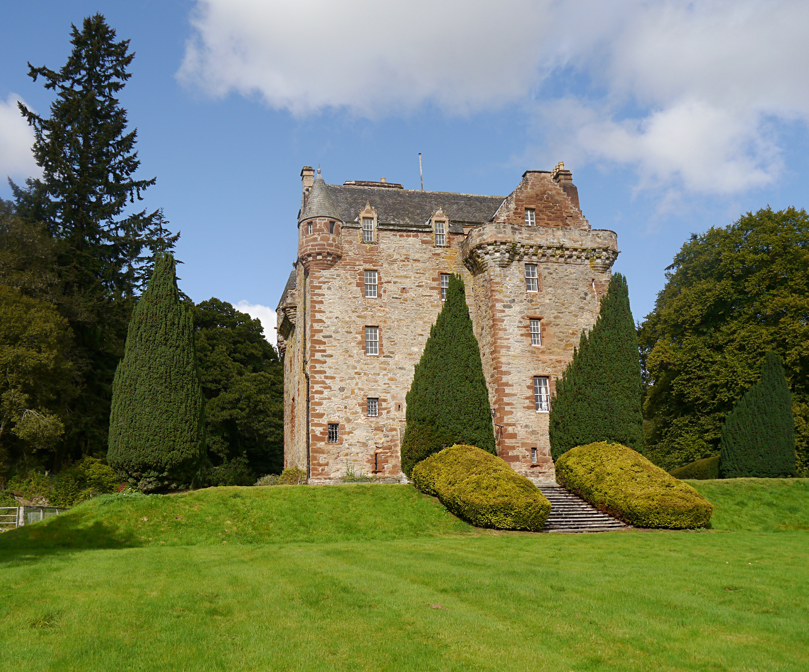
Castle Leod
Castle Leod is the seat of the Clan Mackenzie. It is a category A listed building, and the grounds are listed in the Inventory of Gardens and Designed...
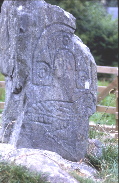
Clach an Tiompain
Clach an Tiompain (in English, the "Sounding Stone") or The Eagle Stone is a small Class I Pictish stone located on a hill on the northern outskirts of...
Nearby Amenities
Located within 500m of 57.600953,-4.529667Have you been to Achterneed?
Leave your review of Achterneed below (or comments, questions and feedback).