Cnoc Aulaidh

Hill, Mountain in Cromartyshire

Scotland

Cnoc Aulaidh

Outlook to Raven Rock Raven Rock seen over a cleared area of forest with some Silver Birch remaining.
Outlook to Raven Rock Credit: Julian Paren

Cnoc Aulaidh is a picturesque hill located in Cromartyshire, Scotland. Situated in the northern part of the county, it offers stunning panoramic views of the surrounding landscape and is a popular destination for hikers and nature enthusiasts alike.

Rising to an elevation of approximately 450 meters (1480 feet), Cnoc Aulaidh boasts a distinctive cone-shaped peak, covered in lush green vegetation during the summer months. The hill is primarily composed of sedimentary rock, showcasing layers of geological history.

The terrain of Cnoc Aulaidh is diverse, with gentle slopes at the base gradually giving way to steeper inclines as one ascends. The hill is home to a variety of flora and fauna, including heather, wildflowers, and several species of birds and small mammals.

There are several well-marked trails that lead visitors to the summit of Cnoc Aulaidh, allowing for a rewarding and invigorating hike. Along the way, hikers can enjoy the tranquil beauty of the Scottish countryside and may even spot some rare wildlife.

At the top of the hill, visitors are rewarded with breathtaking panoramic views of the surrounding landscape, including the nearby Cromarty Firth and the distant peaks of the Scottish Highlands. On a clear day, it is possible to see as far as the Moray Firth and the Black Isle.

Overall, Cnoc Aulaidh is a captivating natural landmark in Cromartyshire, offering both stunning vistas and an opportunity to immerse oneself in the beauty of the Scottish countryside.

If you have any feedback on the listing, please let us know in the comments section below.
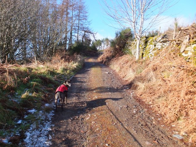
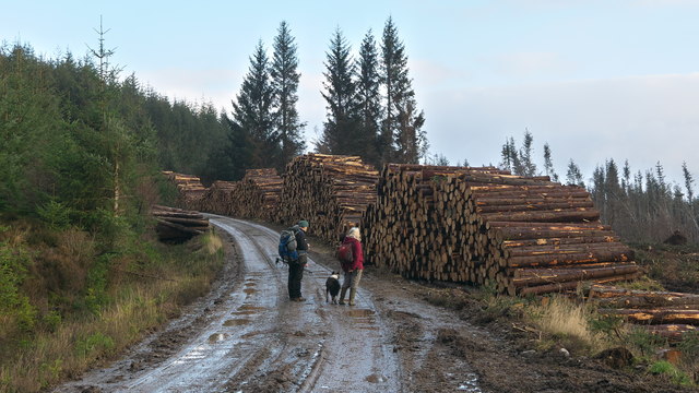
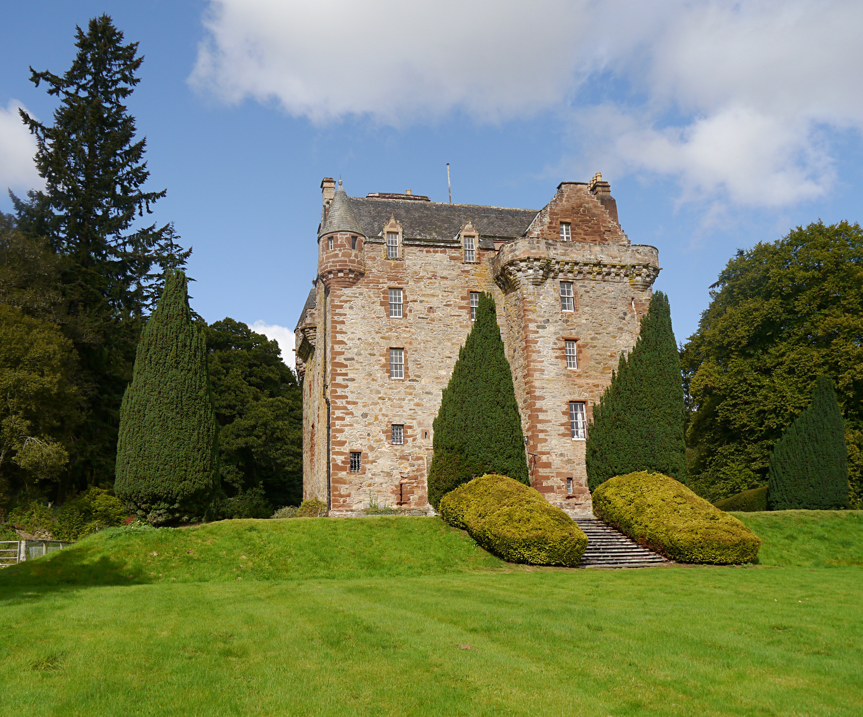
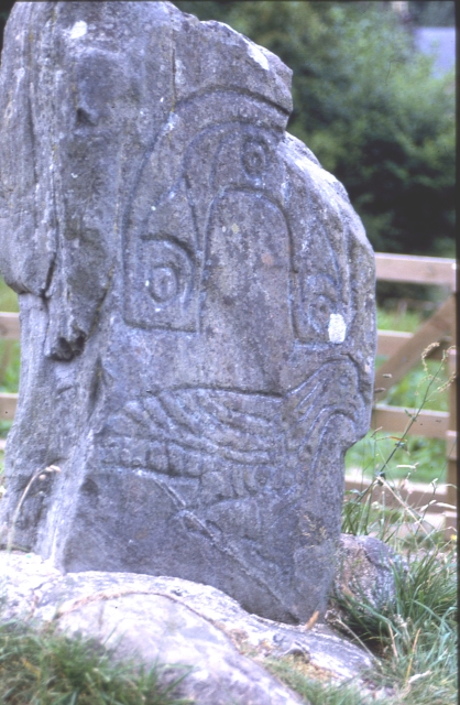
Cnoc Aulaidh Images

Images are sourced within 2km of 57.598187/-4.5447257 or Grid Reference NH4859. Thanks to Geograph Open Source API. All images are credited.

Outlook to Raven Rock Raven Rock seen over a cleared area of forest with some Silver Birch remaining.
Outlook to Raven Rock
Raven Rock seen over a cleared area of forest with some Silver Birch remaining.
Forest road near Bottacks Current OS 1:25,000 maps show the track ending here. But it is now a through road! In Geograph mapping the current road layout is achieved by zooming to the highest levels.
Forest road near Bottacks
Current OS 1:25,000 maps show the track ending here. But it is now a through road! In Geograph mapping the current road layout is achieved by zooming to the highest levels.
Uphill to Bottacks on the forest road Gorse lines both sides of the road here.
Uphill to Bottacks on the forest road
Gorse lines both sides of the road here.
Forest track to Bottacks
Track at Bottacks
Track at Bottacks
Track to Bottacks
Track to Bottacks
Heading to Bottacks
Heading to Bottacks
Summit of Raven Rock The summit is marked by a small stone cairn, on top of a slab of rock.

Much of the surrounding forest has been cleared, giving good views down the strath towards Dingwall.
Summit of Raven Rock
The summit is marked by a small stone cairn, on top of a slab of rock. Much of the surrounding forest has been cleared, giving good views down the strath towards Dingwall.
Forest track, near Achterneed A rather wide, well built track through the forest. The track runs up from Achterneed, and goes towards Contin and Rogie.
A minor track/path branches off to the left just ahead.

The woodland on the left is largely birch trees, along by the banks of the Peffery Burn.
Forest track, near Achterneed
A rather wide, well built track through the forest. The track runs up from Achterneed, and goes towards Contin and Rogie. A minor track/path branches off to the left just ahead. The woodland on the left is largely birch trees, along by the banks of the Peffery Burn.
Achterneed Village Hall Not the smartest of halls these days, but I have had some great ceilidhs there.
Achterneed Village Hall
Not the smartest of halls these days, but I have had some great ceilidhs there.
Track from Bottacks From Bottacks, one can gain access to the nearby Forestry Commission woodland by the way of this track.
Track from Bottacks
From Bottacks, one can gain access to the nearby Forestry Commission woodland by the way of this track.
Southern slope of Raven Rock, looking towards Dingwall
Snowman Rally, in the forest by Achterneed During the third stage of the Snowman Rally, which followed forest tracks between Rogie and Achterneed.
On the left is a Vauxhall Nova, which has left the track and landed upside down in a ditch. Passing by is a Mitsubishi Lancer Evo 5, followed by a Peugeot 205 GTI.
Snowman Rally, in the forest by Achterneed
During the third stage of the Snowman Rally, which followed forest tracks between Rogie and Achterneed. On the left is a Vauxhall Nova, which has left the track and landed upside down in a ditch. Passing by is a Mitsubishi Lancer Evo 5, followed by a Peugeot 205 GTI.
Forestry track above Peffery Burn
Path and stream under the Dingwall to Garve railway line Not acknowledged on OS mapping a path also crosses the railway beside the Peffery Burn and continues along the north side of the Raven Rock gorge.
Path and stream under the Dingwall to Garve railway line
Not acknowledged on OS mapping a path also crosses the railway beside the Peffery Burn and continues along the north side of the Raven Rock gorge.
Dingwall to Garve railway line east of Raven Rock A fitting lunch spot on a 10 mile walk through the Contin/Strathpeffer forest. Unfortunately lunchtime did not coincide with any sighting of  Inverness to Kyle trains.
Dingwall to Garve railway line east of Raven Rock
A fitting lunch spot on a 10 mile walk through the Contin/Strathpeffer forest. Unfortunately lunchtime did not coincide with any sighting of Inverness to Kyle trains.
Ongoing forestry operations Below the road mechanized forestry cutters were in evidence with foresters on the scene. Our party of walkers examine the effect of clear cut felling on the local topography.
Ongoing forestry operations
Below the road mechanized forestry cutters were in evidence with foresters on the scene. Our party of walkers examine the effect of clear cut felling on the local topography.
Hillside above Bottacks Looking up at the boundary between the mature forest and a cleared area.
Hillside above Bottacks
Looking up at the boundary between the mature forest and a cleared area.
Show me another place!

Cnoc Aulaidh is located at Grid Ref: NH4859 (Lat: 57.598187, Lng: -4.5447257)

Unitary Authority: Highland

Police Authority: Highlands and Islands

What 3 Words

///thatched.steadier.employers. Near Strathpeffer, Highland

Related Wikis

Nearby Amenities

Located within 500m of 57.598187,-4.5447257
Bench
Backrest: yes
Material: wood
Lat/Long: 57.5988929/-4.5405739
The data included in this document is from www.openstreetmap.org. The data is made available under ODbL.

Have you been to Cnoc Aulaidh?

Leave your review of Cnoc Aulaidh below (or comments, questions and feedback).