Barr Hill

Hill, Mountain in Renfrewshire

Scotland

Barr Hill

Walton Dam Near Neilston.
Walton Dam Credit: wfmillar

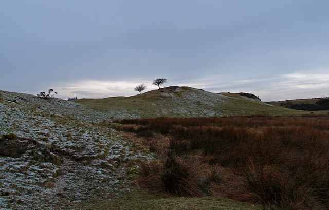
Barr Hill is a prominent hill located in Renfrewshire, Scotland. Rising to an elevation of approximately 364 meters (1,194 feet), it is one of the most notable hills in the region. Situated approximately 10 kilometers (6.2 miles) southwest of Paisley, Barr Hill offers stunning panoramic views of the surrounding countryside.

The hill is primarily composed of volcanic rock, with its distinctive cone-shaped summit standing out against the relatively flat landscape of Renfrewshire. Its formation can be attributed to ancient volcanic activity in the area, which occurred millions of years ago.

Barr Hill is a popular destination for hikers and nature enthusiasts, who are drawn to its rugged beauty and the opportunity to enjoy outdoor activities such as walking and birdwatching. The hill is accessible via several well-marked trails, which cater to both experienced hikers and casual walkers. Along these paths, visitors can immerse themselves in the natural beauty of the region, surrounded by heather-covered slopes and an abundance of wildlife.

Furthermore, Barr Hill has historical significance, with evidence of ancient settlements and fortifications found in the vicinity. The hill has been a site of human activity for centuries, and its strategic location has likely played a role in its historical importance.

Overall, Barr Hill in Renfrewshire is a picturesque and historically significant hill that offers a memorable experience for outdoor enthusiasts and those interested in the region's natural and cultural heritage.

If you have any feedback on the listing, please let us know in the comments section below.
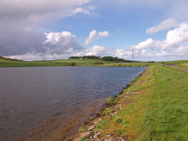
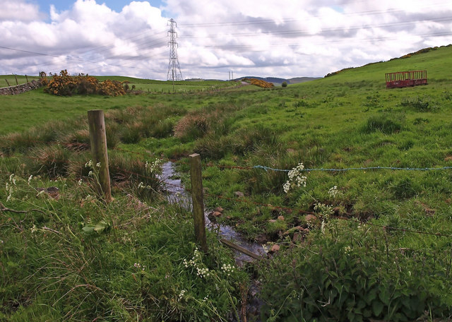
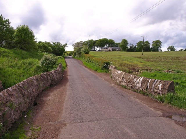
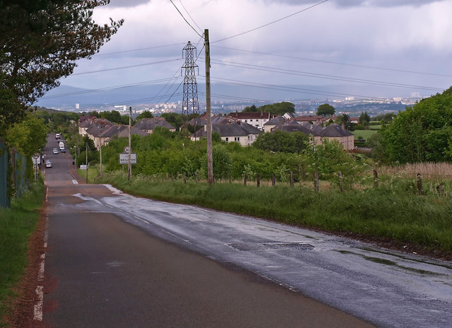
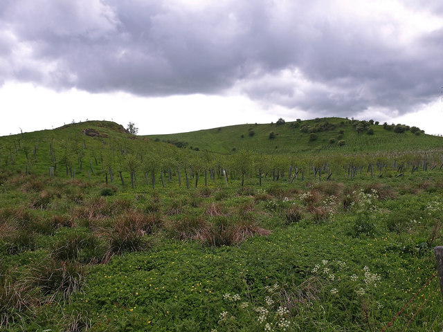
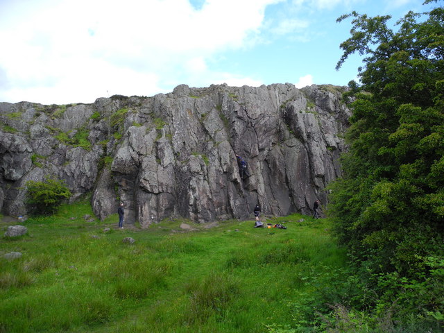
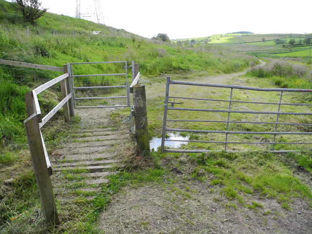
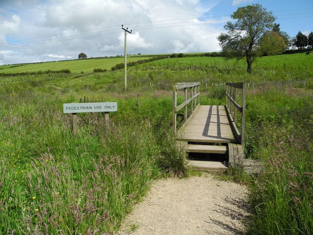
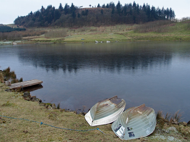
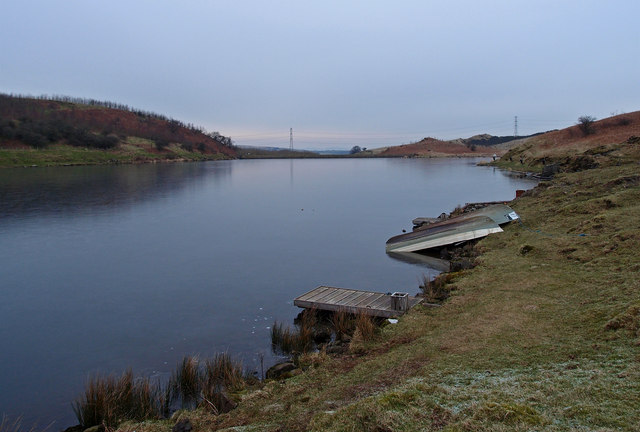
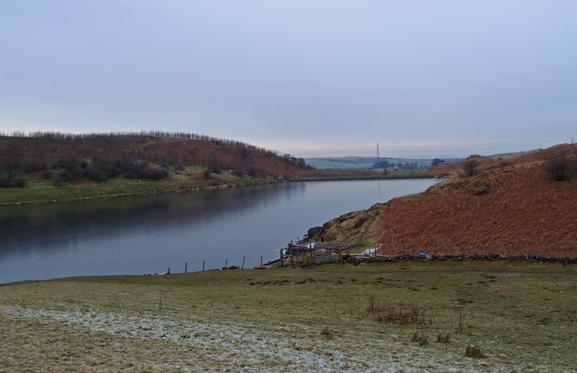
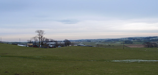
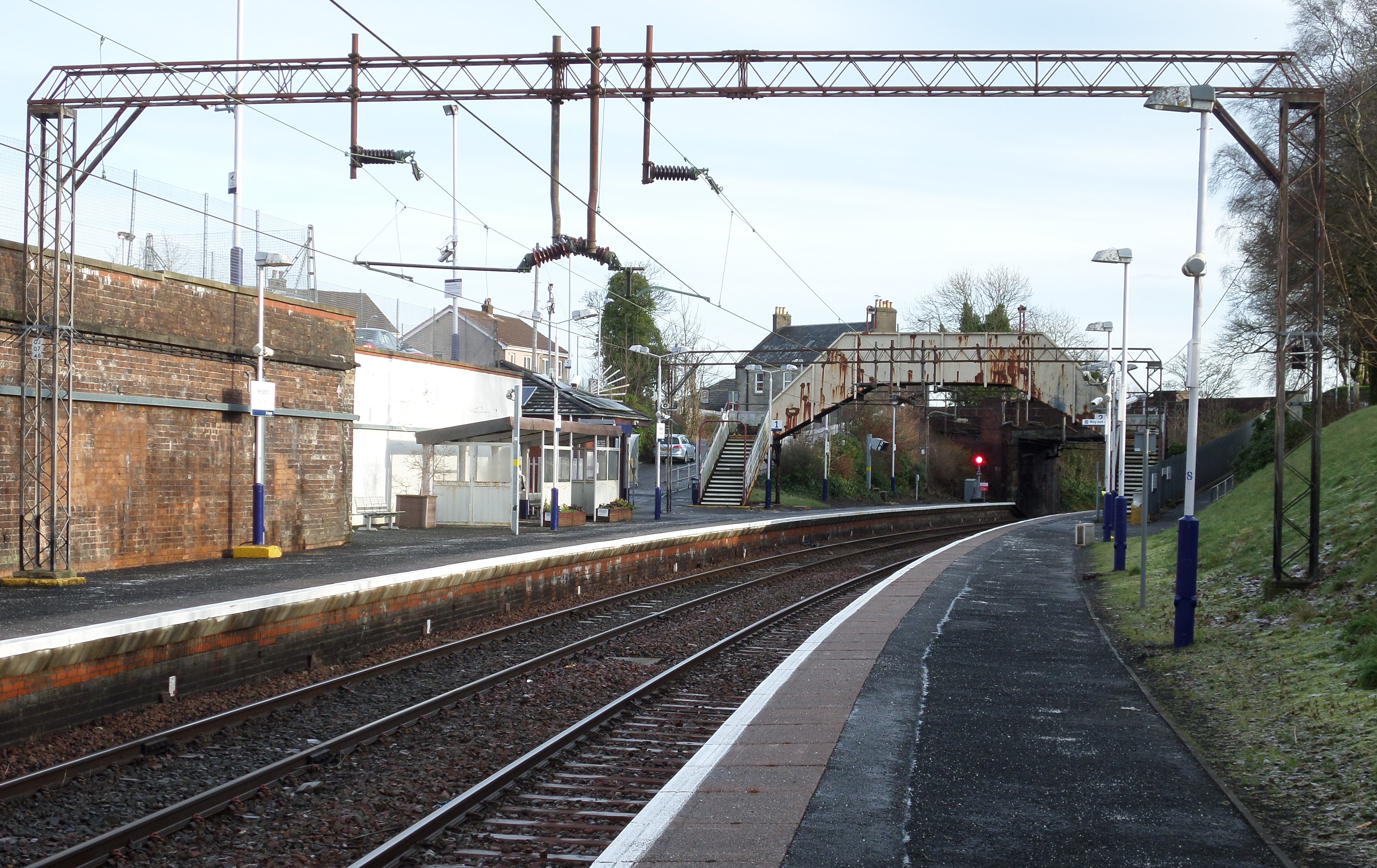
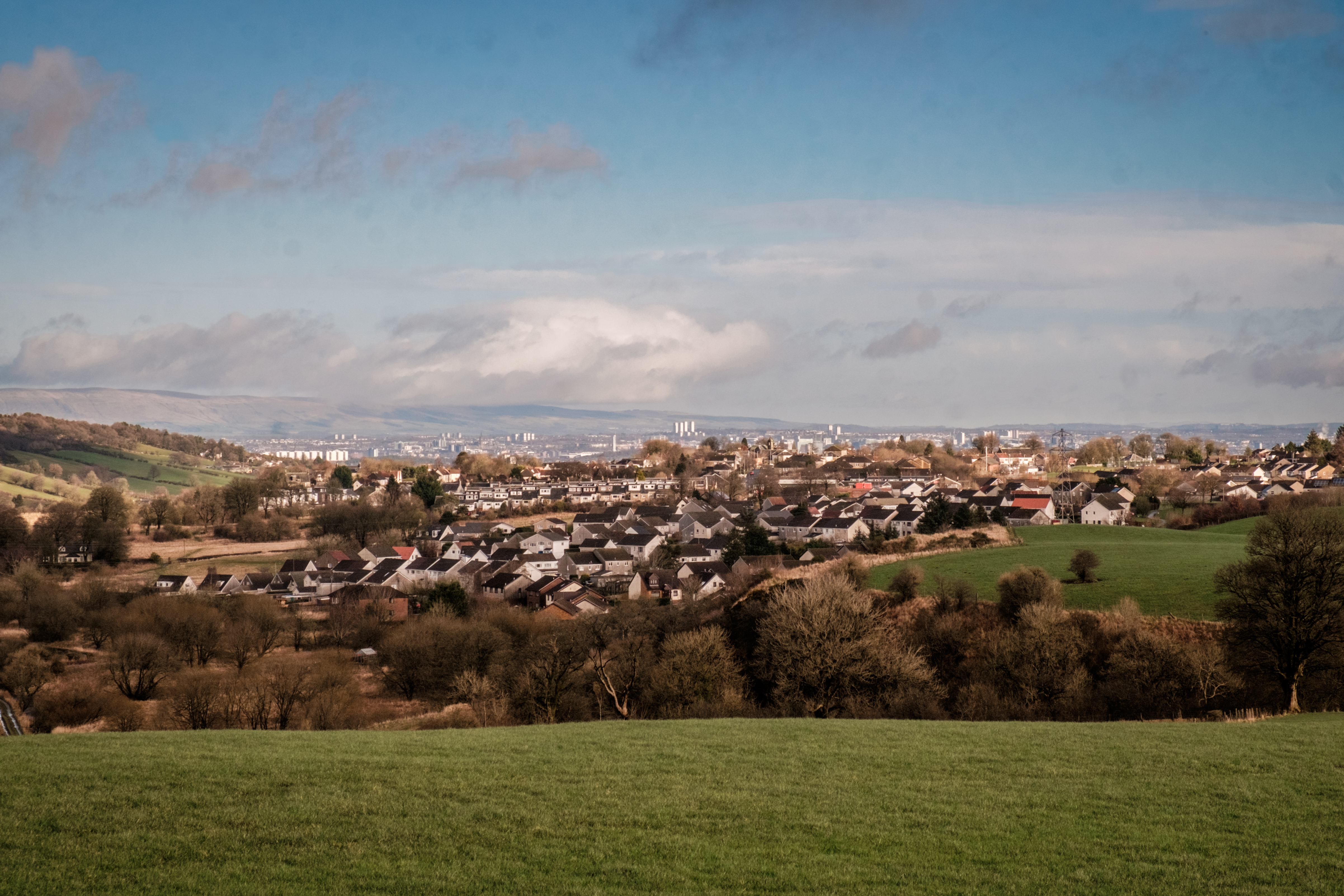
Barr Hill Images

Images are sourced within 2km of 55.769861/-4.42414 or Grid Reference NS4855. Thanks to Geograph Open Source API. All images are credited.

Walton Dam Near Neilston.
Walton Dam
Near Neilston.
Small Burn near Neilston Near the junction of Springhill Rd. and Kirkton Rd.
Small Burn near Neilston
Near the junction of Springhill Rd. and Kirkton Rd.
Kirkton Bridge, Neilston Kirkton on the hill.
Kirkton Bridge, Neilston
Kirkton on the hill.
Kingston Road, Neilston Paisley in the distance.
Kingston Road, Neilston
Paisley in the distance.
Neilstonside Hill Looking over the now partially planted up Dingle Bog.
Neilstonside Hill
Looking over the now partially planted up Dingle Bog.
Neilston Quarry A disused quarry north of the hill called Neiston Pad is popular with local rock climbers. The rock is dolerite and quite smooth and slippery.
Neilston Quarry
A disused quarry north of the hill called Neiston Pad is popular with local rock climbers. The rock is dolerite and quite smooth and slippery.
North entrance to Neilstonside Path This new path runs beside the Levern Water, through a new plantation. It is a pleasant walk though wet and boggy in places.
North entrance to Neilstonside Path
This new path runs beside the Levern Water, through a new plantation. It is a pleasant walk though wet and boggy in places.
Bridge over Levern Water The new Neilstonside Path crosses the Levern Water here on its route through a new plantation. Nice for pedestrians but not so easy for prams or wheelchairs.
Bridge over Levern Water
The new Neilstonside Path crosses the Levern Water here on its route through a new plantation. Nice for pedestrians but not so easy for prams or wheelchairs.
Gate on Neilston Pad track Slim people only allowed on this walk! Neilston Pad has been a popular spot for walkers and picnickers for at least a century. Recently more woodland planting has been done and the walks publicised.
Gate on Neilston Pad track
Slim people only allowed on this walk! Neilston Pad has been a popular spot for walkers and picnickers for at least a century. Recently more woodland planting has been done and the walks publicised.
Neilston railway station, looking WSW View from platform 1 at Neilston railway station, looking roughly WSW.
Neilston railway station, looking WSW
View from platform 1 at Neilston railway station, looking roughly WSW.
Neilston railway station, looking ENE View from platform 1 at Neilston railway station, looking roughly ENE towards Glasgow Central.
Neilston railway station, looking ENE
View from platform 1 at Neilston railway station, looking roughly ENE towards Glasgow Central.
Neilston Parish Church Halls On Kingston Road, Neilston.
Neilston Parish Church Halls
On Kingston Road, Neilston.
Frozen Snypes Dam Home of Neilston Trout Fishery. Neiston Pad  surrounded by the trees on the western side of the dam.
Frozen Snypes Dam
Home of Neilston Trout Fishery. Neiston Pad surrounded by the trees on the western side of the dam.
Frozen Snypes Dam No fishermen today the ice is a couple of inches thick.
Frozen Snypes Dam
No fishermen today the ice is a couple of inches thick.
Snypes Dam Barr Hill on the left. Looking towards Neilston. The dam was frozen.
Snypes Dam
Barr Hill on the left. Looking towards Neilston. The dam was frozen.
Muirhead Farm Mainly sheep farming around here.
Muirhead Farm
Mainly sheep farming around here.
Muirhead Farmland Looking across mainly sheep grazing land towards North Walton Farm. Dodd Hill with the trees on it, above the farm .
Muirhead Farmland
Looking across mainly sheep grazing land towards North Walton Farm. Dodd Hill with the trees on it, above the farm .
Two Hawthorn Trees Rough land near Dyke Hill
Two Hawthorn Trees
Rough land near Dyke Hill
Show me another place!

Barr Hill is located at Grid Ref: NS4855 (Lat: 55.769861, Lng: -4.42414)

Unitary Authority: East Renfrewshire

Police Authority: Greater Glasgow

What 3 Words

///relished.scooped.strumming. Near Neilston, East Renfrewshire

Nearby Locations

Barr Hill

Related Wikis

Nearby Amenities

Located within 500m of 55.769861,-4.42414
Barrier: stile
Bicycle: yes
Foot: yes
Lat/Long: 55.7684771/-4.4286897
Barr Hill
Natural: peak
Lat/Long: 55.7698661/-4.4248936
Power: pole
Lat/Long: 55.7738707/-4.426675
Power: pole
Lat/Long: 55.7734505/-4.4273658
Power: pole
Lat/Long: 55.7730502/-4.4280294
Power: pole
Lat/Long: 55.7729035/-4.4293712
Power: pole
Lat/Long: 55.7739528/-4.4224638
Power: pole
Lat/Long: 55.7731288/-4.4224262
Power: pole
Lat/Long: 55.7725208/-4.4221883
Power: pole
Lat/Long: 55.7718294/-4.4219128
Power: pole
Lat/Long: 55.7717883/-4.4206461
Power: pole
Lat/Long: 55.7717461/-4.4193564
Power: pole
Lat/Long: 55.7717062/-4.4180709
Power: pole
Lat/Long: 55.7716604/-4.4169002
Power: pole
Lat/Long: 55.7728366/-4.4280523
Power: pole
Lat/Long: 55.772441/-4.4280607
Power: pole
Lat/Long: 55.7723436/-4.4275077
Power: pole
Lat/Long: 55.7722414/-4.4269776
Power: pole
Lat/Long: 55.766305/-4.421677
Power: pole
Lat/Long: 55.7668192/-4.4210969
Power: pole
Lat/Long: 55.7672935/-4.4205626
Power: pole
Lat/Long: 55.7679685/-4.4199679
Power: pole
Lat/Long: 55.7687222/-4.41925
Power: pole
Lat/Long: 55.7694817/-4.4185634
Power: pole
Lat/Long: 55.770206/-4.4178957
Power: pole
Lat/Long: 55.7707929/-4.417351
The data included in this document is from www.openstreetmap.org. The data is made available under ODbL.

Have you been to Barr Hill?

Leave your review of Barr Hill below (or comments, questions and feedback).