Barnetby, New
Settlement in Lincolnshire
England
Barnetby, New
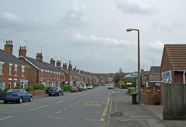
Barnetby is a small village located in North Lincolnshire, England. Situated in the region of New Lincolnshire, it is nestled between the towns of Brigg and Immingham. With a population of around 1,500 residents, Barnetby exudes a tight-knit community atmosphere.
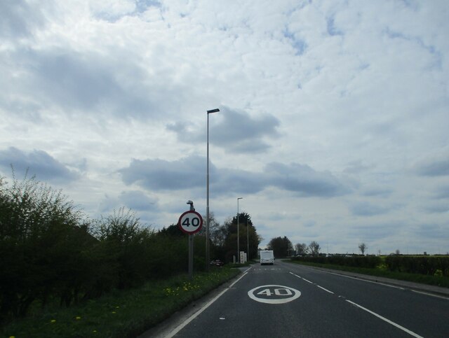
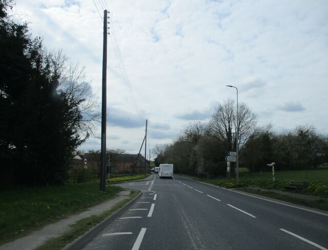
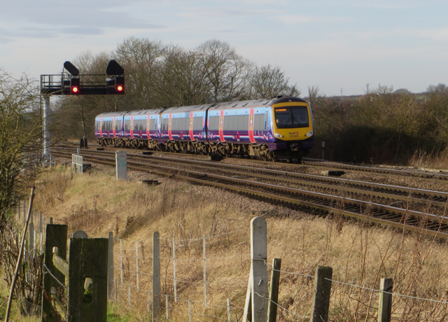
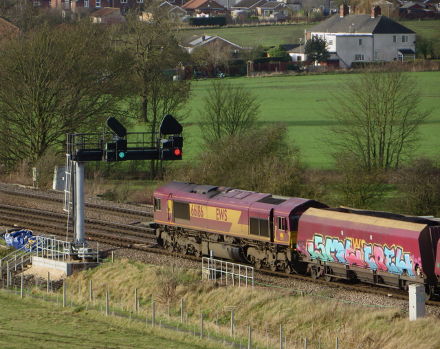
The village is well-connected, thanks to its strategic location near major transportation routes. The A180 motorway runs nearby, providing easy access to Grimsby and the Humber Bridge. Additionally, Barnetby railway station is an important stop on the TransPennine Express route, making it a convenient hub for commuters.
Despite its small size, Barnetby boasts a range of amenities and services to cater to its residents' needs. There are a few local shops, including a post office, convenience stores, and a bakery, providing everyday essentials. The village also has a primary school, providing education for the younger population.
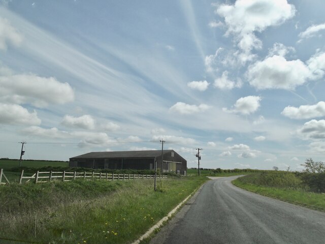
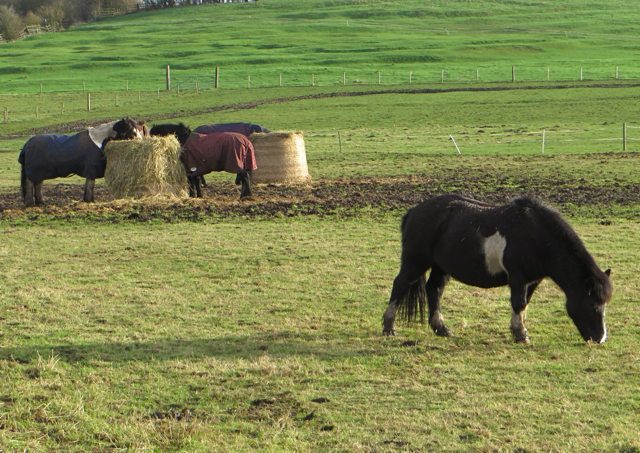
Surrounded by picturesque countryside, Barnetby offers opportunities for outdoor activities and exploration. The Lincolnshire Wolds, an Area of Outstanding Natural Beauty, is within easy reach, allowing residents to enjoy scenic walks and cycling routes. Additionally, the nearby Ancholme Valley Way offers a delightful trail along the River Ancholme, perfect for leisurely strolls.
Overall, Barnetby is a charming village that offers a peaceful and close-knit community while benefiting from excellent transport links and access to natural beauty.
If you have any feedback on the listing, please let us know in the comments section below.
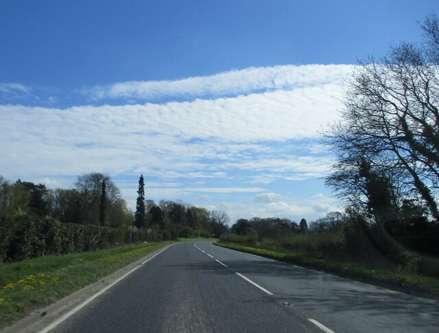
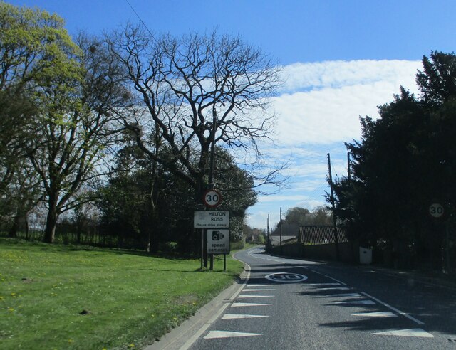
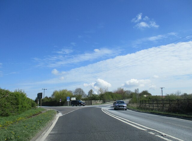
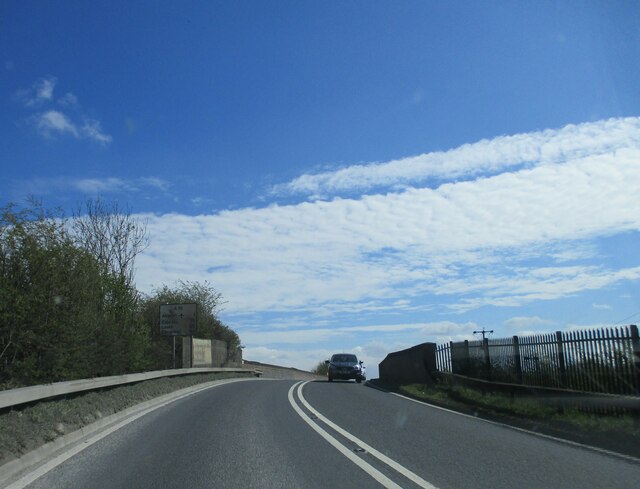
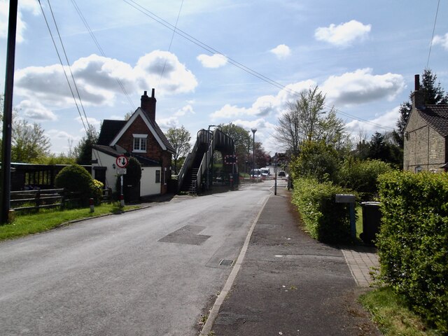
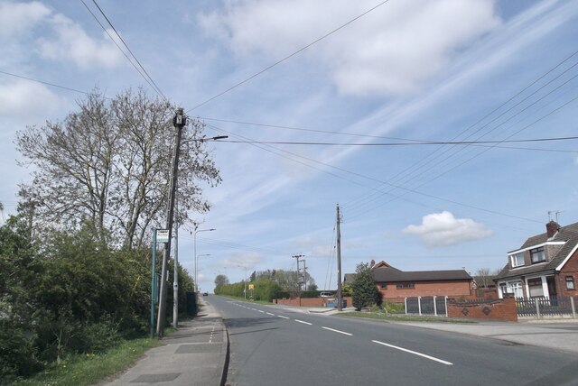
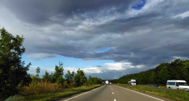
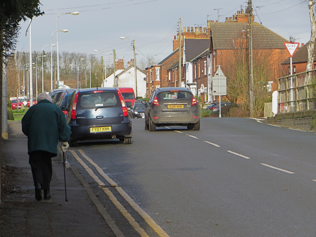
Barnetby, New Images
Images are sourced within 2km of 53.5788/-0.3807 or Grid Reference TA0710. Thanks to Geograph Open Source API. All images are credited.

Barnetby, New is located at Grid Ref: TA0710 (Lat: 53.5788, Lng: -0.3807)
Division: Parts of Lindsey
Unitary Authority: North Lincolnshire
Police Authority: Humberside
What 3 Words
///tungsten.gratuity.smoker. Near Barnetby le Wold, Lincolnshire
Nearby Locations
Related Wikis

St Mary's Church, Barnetby
St Mary's Church is a redundant Anglican church in the village of Barnetby, Lincolnshire, England. It is recorded in the National Heritage List for England...
Barnetby le Wold
Barnetby le Wold is a village and civil parish in North Lincolnshire, Lincolnshire, England, located between Brigg and Immingham. The village is also near...

Melton Ross
Melton Ross is a small village in North Lincolnshire, separated from New Barnetby by a railway line and level crossing. The 2001 census found 186 people...
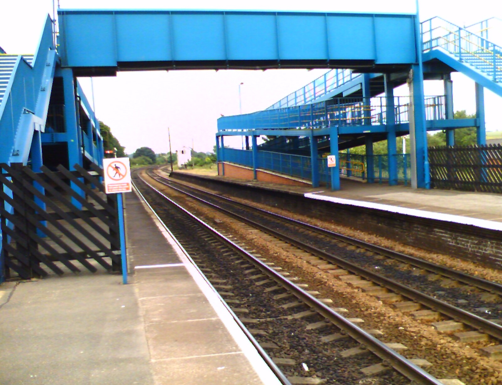
Barnetby railway station
Barnetby railway station serves the village of Barnetby-le-Wold in North Lincolnshire, England. It is operated by TransPennine Express, with East Midlands...

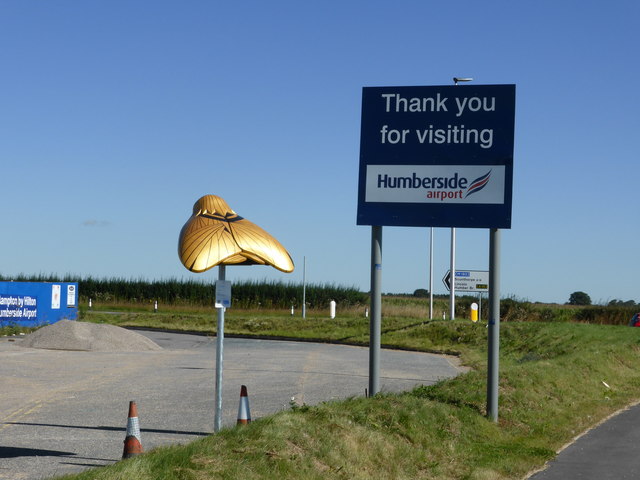
Humberside Airport
Humberside Airport (IATA: HUY, ICAO: EGNJ) is an international airport at Kirmington in the Borough of North Lincolnshire, England, 10 NM (19 km; 12 mi...

RAF Kirmington
Royal Air Force Kirmington or more simply RAF Kirmington was a Royal Air Force station located 6.2 miles (10.0 km) north east of Brigg, Lincolnshire and...

Wrawby Junction rail crash
The Wrawby Junction rail crash was a train crash which occurred on 9 December 1983, at Wrawby Junction, near Barnetby station, North Lincolnshire, England...
1898 Wrawby Junction rail crash
On 17 October 1898 at Wrawby Junction, on what was the Great Central Railway near Brigg in Lincolnshire, England, a passenger train collided with a derailed...
Nearby Amenities
Located within 500m of 53.5788,-0.3807Have you been to Barnetby, New?
Leave your review of Barnetby, New below (or comments, questions and feedback).