Melton Ross
Settlement in Lincolnshire
England
Melton Ross
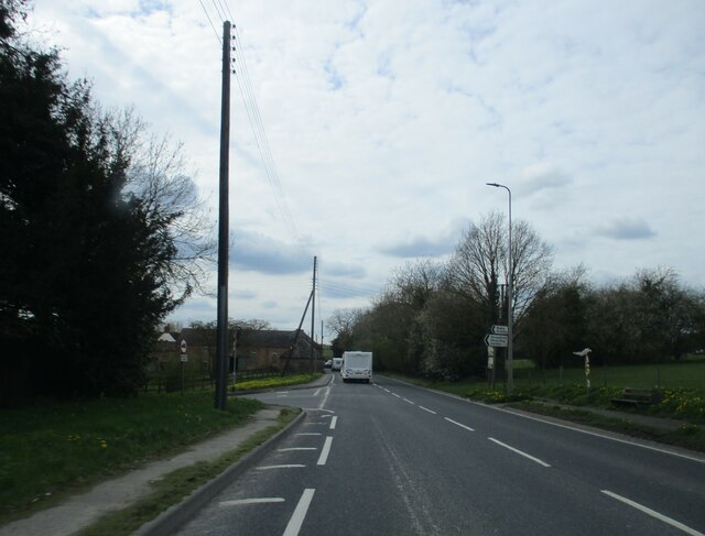
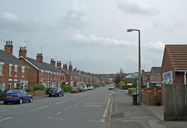
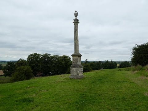
Melton Ross is a small village located in the North Lincolnshire district of Lincolnshire, England. It lies about 4 miles northeast of the town of Brigg, and approximately 15 miles northwest of the city of Grimsby. The village is nestled amidst picturesque rolling countryside, offering residents and visitors a sense of tranquility and natural beauty.
With a population of around 300 people, Melton Ross is known for its close-knit community and friendly atmosphere. The village features a charming mix of traditional stone cottages and modern houses, creating a timeless feel. The local St. Peter's Church, dating back to the 12th century, is an architectural gem and adds to the village's historical significance.
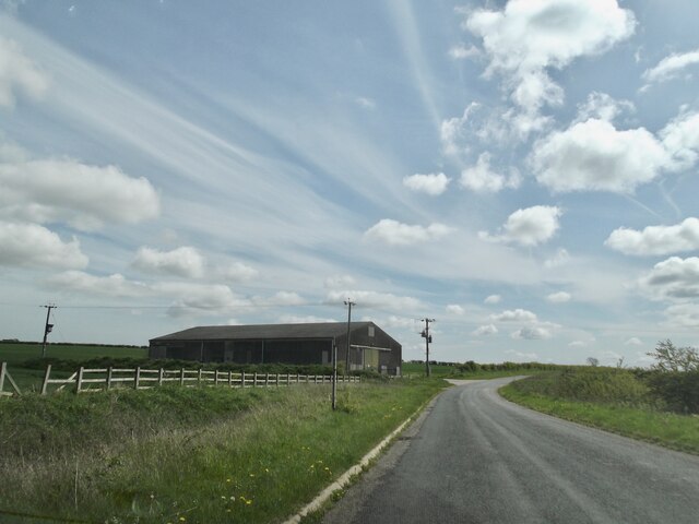
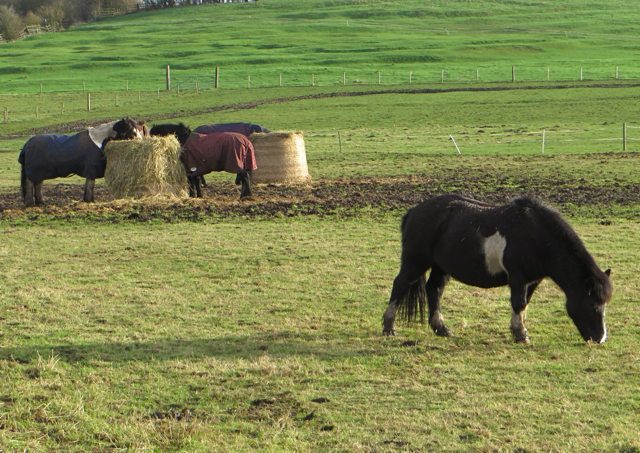
Melton Ross is surrounded by farmland, and agriculture plays a significant role in the local economy. The village is also home to a few small businesses, including a family-run farm shop and café, offering fresh local produce and homemade treats. The surrounding countryside provides ample opportunities for outdoor activities such as walking, cycling, and horse riding, making it an attractive destination for nature enthusiasts.
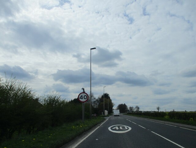
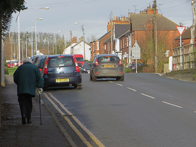
Despite its small size, Melton Ross benefits from being well-connected to nearby towns and cities. The A18 road runs close to the village, providing convenient access to larger urban areas. Additionally, the village is served by a local bus service, ensuring easy transportation links for residents.
Overall, Melton Ross offers a peaceful and idyllic setting, making it an appealing place to live or visit for those seeking a rural getaway.
If you have any feedback on the listing, please let us know in the comments section below.
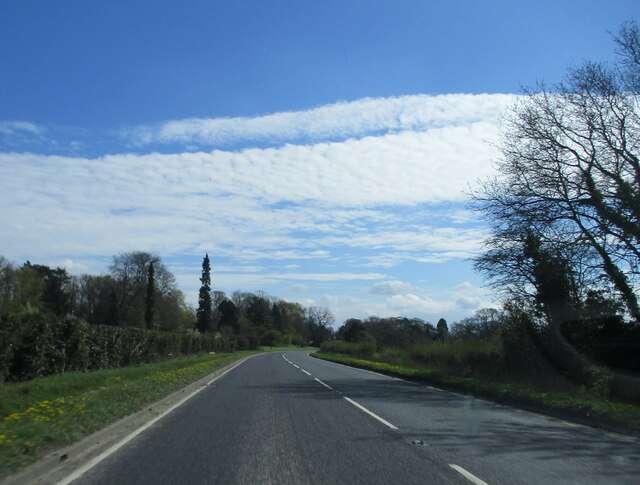
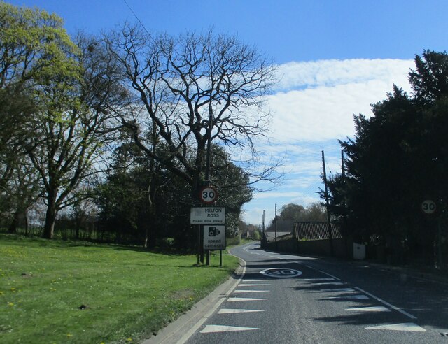
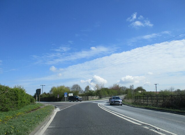
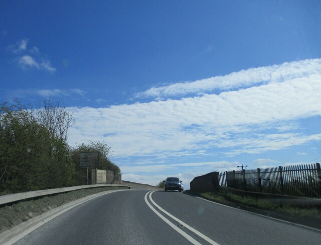
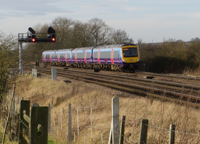
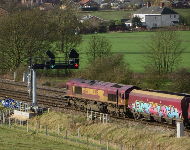
Melton Ross Images
Images are sourced within 2km of 53.57885/-0.380253 or Grid Reference TA0710. Thanks to Geograph Open Source API. All images are credited.


Melton Ross is located at Grid Ref: TA0710 (Lat: 53.57885, Lng: -0.380253)
Division: Parts of Lindsey
Unitary Authority: North Lincolnshire
Police Authority: Humberside
What 3 Words
///regaining.hits.giggle. Near Barnetby le Wold, Lincolnshire
Nearby Locations
Related Wikis

St Mary's Church, Barnetby
St Mary's Church is a redundant Anglican church in the village of Barnetby, Lincolnshire, England. It is recorded in the National Heritage List for England...

Melton Ross
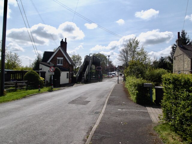
Melton Ross is a small village in North Lincolnshire, separated from New Barnetby by a railway line and level crossing. The 2001 census found 186 people...
Barnetby le Wold
Barnetby le Wold is a village and civil parish in North Lincolnshire, Lincolnshire, England, located between Brigg and Immingham. The village is also near...
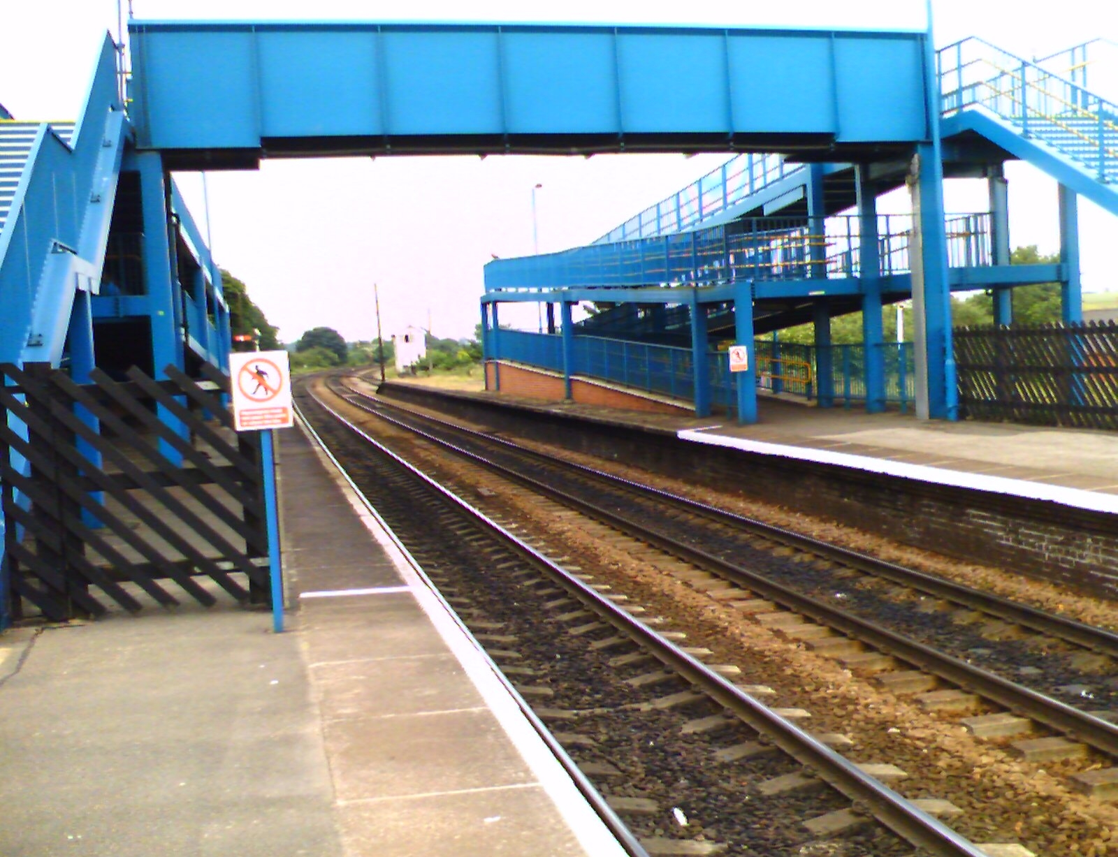
Barnetby railway station
Barnetby railway station serves the village of Barnetby-le-Wold in North Lincolnshire, England. It is operated by TransPennine Express, with East Midlands...

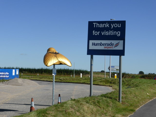
Humberside Airport
Humberside Airport (IATA: HUY, ICAO: EGNJ) is an international airport at Kirmington in the Borough of North Lincolnshire, England, 10 NM (19 km; 12 mi...

RAF Kirmington
Royal Air Force Kirmington or more simply RAF Kirmington was a Royal Air Force station located 6.2 miles (10.0 km) north east of Brigg, Lincolnshire and...

Wrawby Junction rail crash
The Wrawby Junction rail crash was a train crash which occurred on 9 December 1983, at Wrawby Junction, near Barnetby station, North Lincolnshire, England...
1898 Wrawby Junction rail crash
On 17 October 1898 at Wrawby Junction, on what was the Great Central Railway near Brigg in Lincolnshire, England, a passenger train collided with a derailed...
Related Videos

Humberside Airport 13/02/2023
PH-EZZ KLM Royal Dutch Airlines Embraer E190STD KLM Cityhopper KL1485/KLM91M.
VFR into Humberside International - PILOT VLOG 016
A VFR arrival into Humberside airport from the South as seen from the cockpit of PA32 Lance, N101DW.
Barnetby Le Wold and Bigby walk, Lincolnshire, UK
This walk is a 7 mile walk through typical Lincolnshire farmland. Starting in Barnetby Le Wold it follows the Viking Way initially ...
Nearby Amenities
Located within 500m of 53.57885,-0.380253Have you been to Melton Ross?
Leave your review of Melton Ross below (or comments, questions and feedback).