New Barnet
Settlement in Hertfordshire / Middlesex
England
New Barnet
New Barnet is a suburban town located in the London Borough of Barnet, within the historic county boundaries of Hertfordshire and Middlesex. Situated in the northern part of Greater London, it lies approximately 10 miles north of central London.
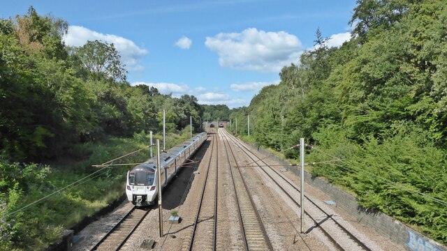
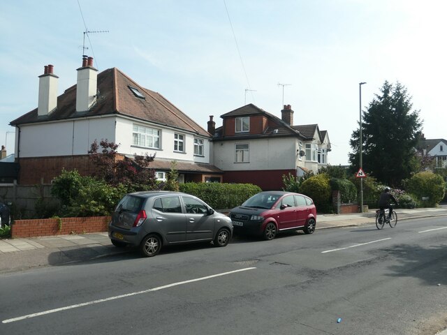
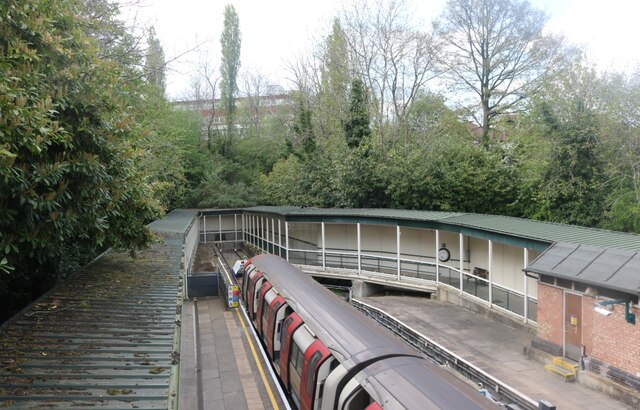
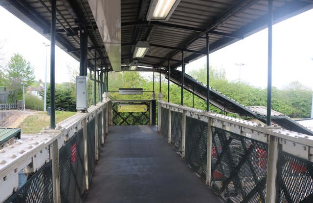
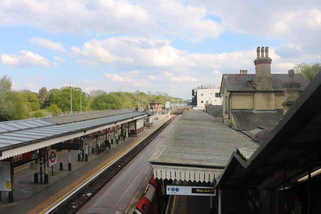
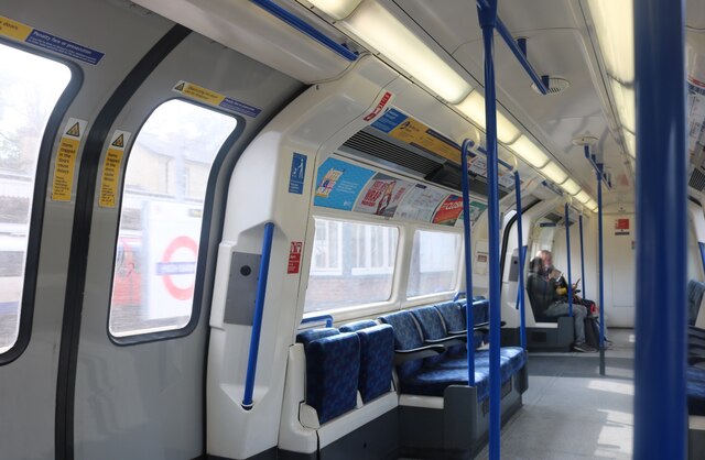
The area is largely residential, characterized by a mix of Victorian and Edwardian houses, as well as more modern developments. It is well connected to the rest of London and surrounding areas, with its own railway station providing frequent services to central London and other parts of Hertfordshire. There are also several bus routes serving the town, ensuring convenient transport links for residents and visitors.
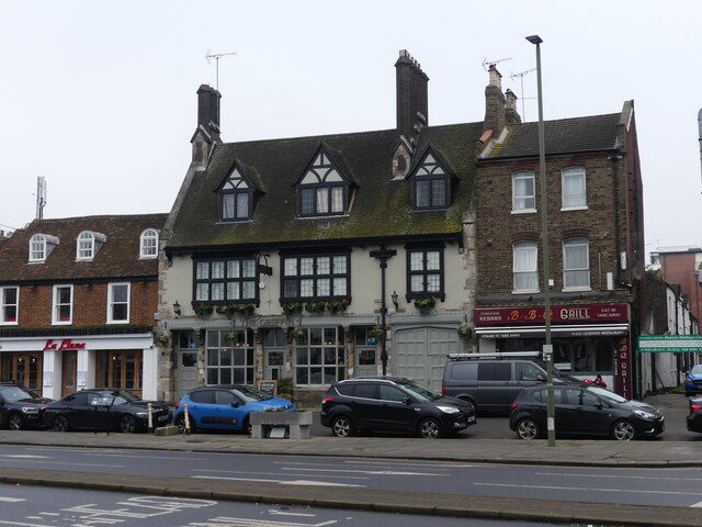
New Barnet offers a range of amenities and services to cater to the needs of its residents. The town center is home to a variety of shops, supermarkets, cafes, and restaurants, offering a diverse range of products and cuisines. There are also several schools, healthcare facilities, and recreational spaces in the area, including parks and sports clubs.
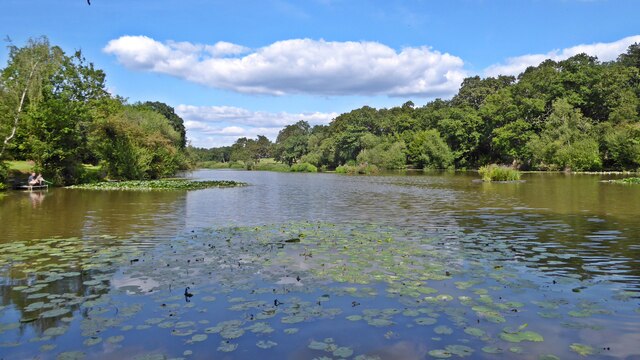
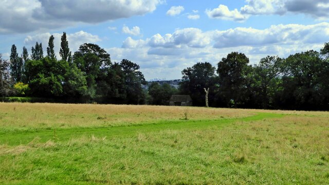
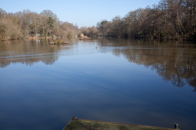
For those seeking entertainment and leisure activities, New Barnet benefits from its proximity to larger towns, such as Barnet and Enfield, which offer a wider range of shopping, dining, and cultural experiences. The town is also within easy reach of the green spaces and countryside of Hertfordshire, providing opportunities for outdoor pursuits and relaxation.
Overall, New Barnet is a pleasant suburban town, offering a convenient location for commuters and a comfortable lifestyle for its residents.
If you have any feedback on the listing, please let us know in the comments section below.
New Barnet Images
Images are sourced within 2km of 51.647275/-0.179532 or Grid Reference TQ2695. Thanks to Geograph Open Source API. All images are credited.


New Barnet is located at Grid Ref: TQ2695 (Lat: 51.647275, Lng: -0.179532)
Unitary Authority: Barnet
Police Authority: Metropolitan
What 3 Words
///slurs.transfers.handed. Near Barnet, London
Nearby Locations
Related Wikis
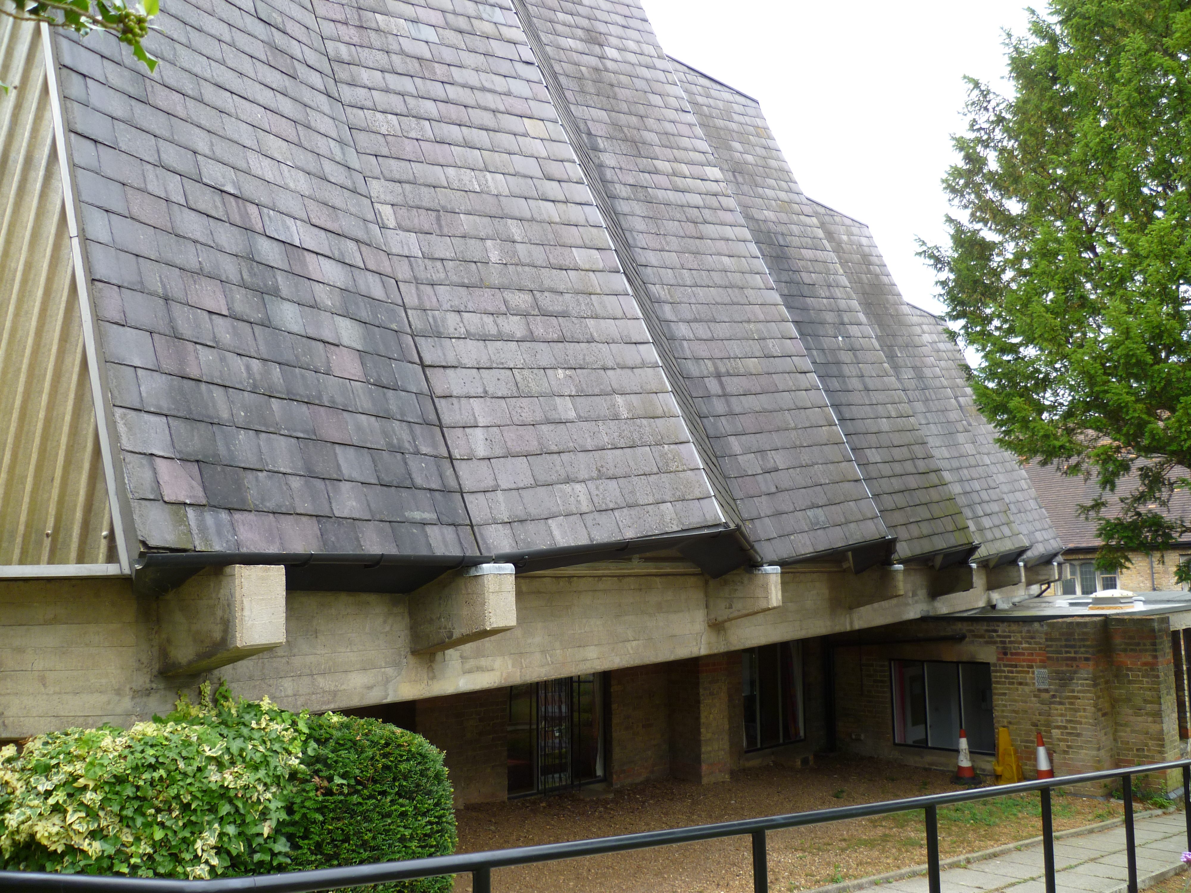
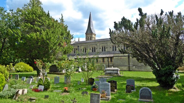
St John's United Reformed Church, New Barnet
St John's United Reformed Church is a church in New Barnet, London. The church was formed by a union of St Augustine's Presbyterian Church and New Barnet...

Greenhill estate
Greenhill was a house and estate on the site of the former Pricklers estate to the south of Chipping Barnet, on the borders of Hertfordshire and Middlesex...
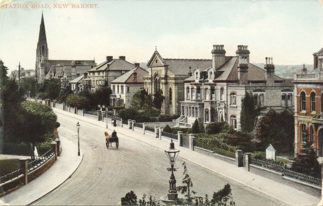
New Barnet Congregational Church
New Barnet Congregational Church is a church that once stood on the corner of Station Road and Plantagenet Road in New Barnet, London. The church was designed...

Holy Trinity Lyonsdown
Holy Trinity Lyonsdown is a Church of England parish church in New Barnet, London. The church was built in 1866.The first incumbent was William Gibbs Barker...
Nearby Amenities
Located within 500m of 51.647275,-0.179532Have you been to New Barnet?
Leave your review of New Barnet below (or comments, questions and feedback).