Barnet, New
Settlement in Hertfordshire / Middlesex
England
Barnet, New
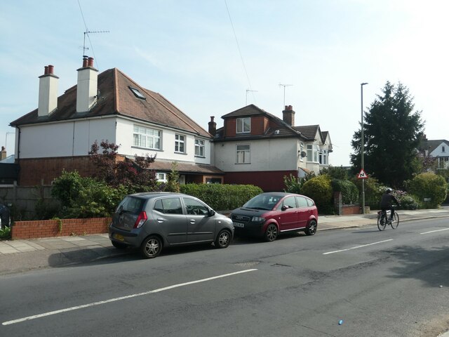
Barnet, a town located in the county of Hertfordshire, England, is situated on the outskirts of Greater London and borders the county of Middlesex. With a population of around 33,000, it is the second largest town in the borough of Barnet. The town's history dates back to ancient times, as evidenced by the discovery of Roman coins and pottery fragments in the area.
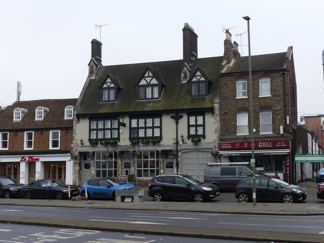
Barnet is renowned for its rich heritage and historical landmarks. One of its notable attractions is the Battle of Barnet site, where the decisive War of the Roses battle took place in 1471. The town's High Street is lined with buildings that showcase various architectural styles, including the 17th-century Ye Olde Monken Holt pub and the Art Deco-style Gaumont cinema.
In addition to its historical significance, Barnet offers a range of amenities and facilities to its residents. The town has several schools, including primary, secondary, and independent institutions, ensuring quality education for its young population. There is also a variety of shopping areas, with the Spires Shopping Centre being the primary retail hub.
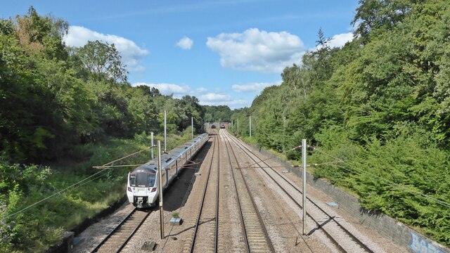
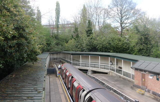
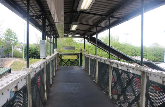
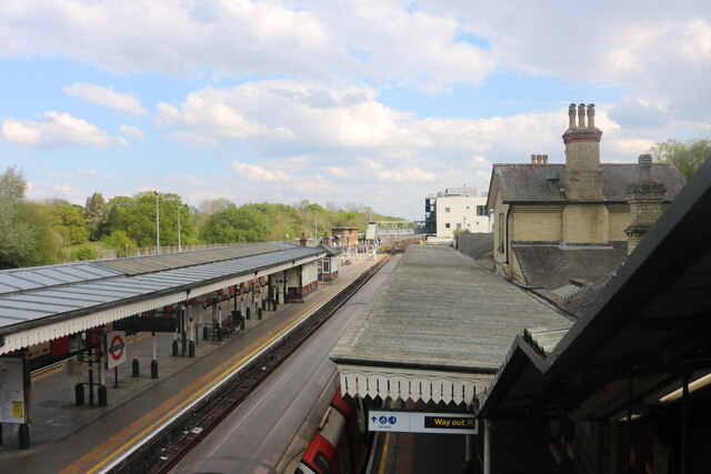
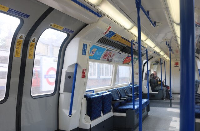
Barnet benefits from excellent transport links, including multiple railway stations, such as New Barnet, High Barnet, and Oakleigh Park, which provide easy access to central London and other neighboring towns. The town is also well-connected via several bus routes and major roads, including the A1 and M25 motorway.
With its mix of history, modern amenities, and convenient location, Barnet offers residents a balanced lifestyle that combines the charm of a historic town with the conveniences of city living.
If you have any feedback on the listing, please let us know in the comments section below.
Barnet, New Images
Images are sourced within 2km of 51.647275/-0.179532 or Grid Reference TQ2695. Thanks to Geograph Open Source API. All images are credited.


Barnet, New is located at Grid Ref: TQ2695 (Lat: 51.647275, Lng: -0.179532)
Unitary Authority: Barnet
Police Authority: Metropolitan
What 3 Words
///slurs.transfers.handed. Near Barnet, London
Nearby Locations
Related Wikis
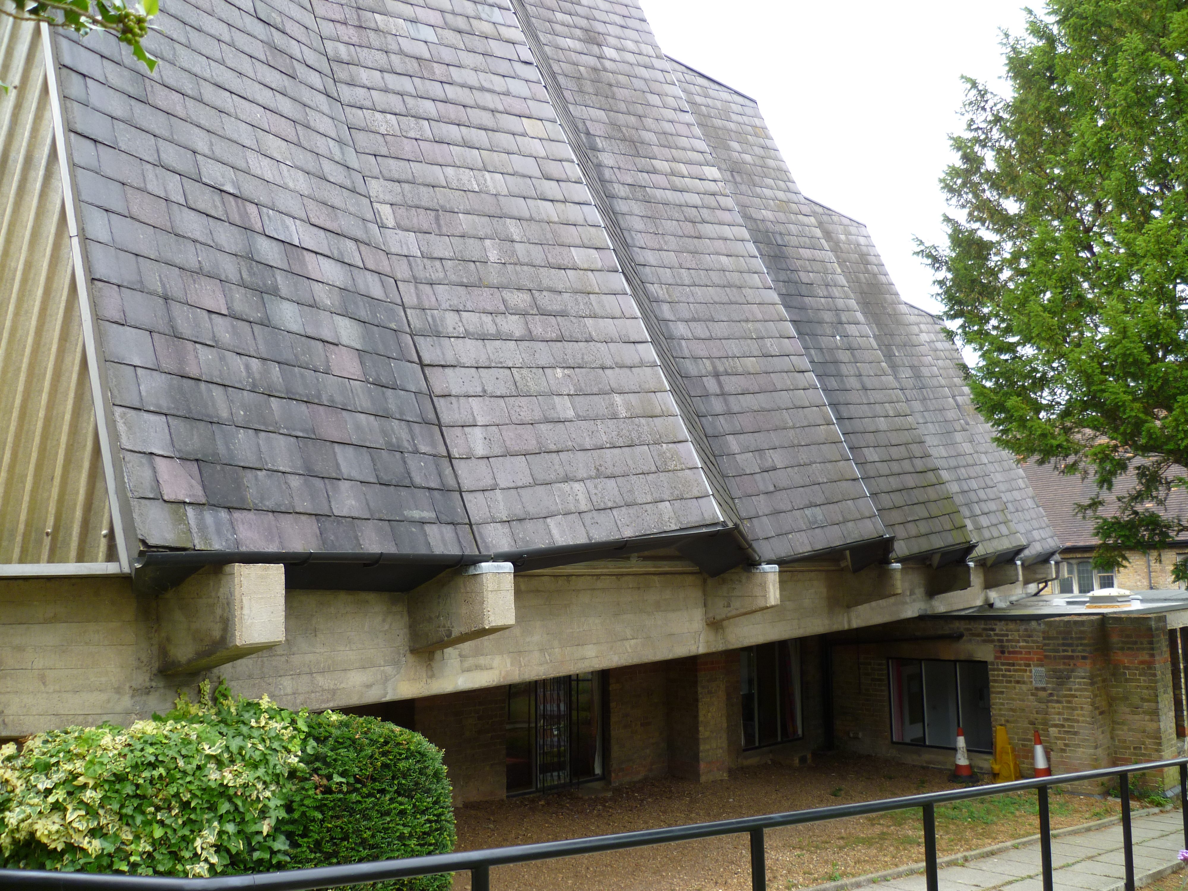
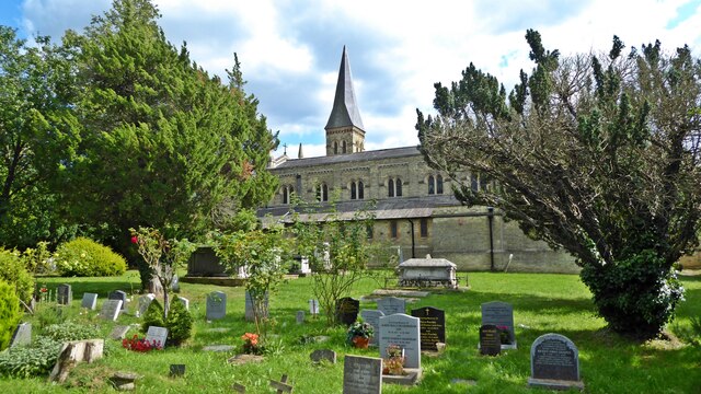
St John's United Reformed Church, New Barnet
St John's United Reformed Church is a church in New Barnet, London. The church was formed by a union of St Augustine's Presbyterian Church and New Barnet...

Greenhill estate
Greenhill was a house and estate on the site of the former Pricklers estate to the south of Chipping Barnet, on the borders of Hertfordshire and Middlesex...
New Barnet Congregational Church
New Barnet Congregational Church is a church that once stood on the corner of Station Road and Plantagenet Road in New Barnet, London. The church was designed...

Holy Trinity Lyonsdown
Holy Trinity Lyonsdown is a Church of England parish church in New Barnet, London. The church was built in 1866.The first incumbent was William Gibbs Barker...

Mary Immaculate and St Peter, New Barnet
Mary Immaculate and St Peter, New Barnet, is a Roman Catholic church in Somerset Road, New Barnet, north London. The church is within the Diocese of Westminster...

New Barnet Friends Meeting House
New Barnet Friends Meeting House is a Quaker meeting house in Leicester Road, New Barnet, north London, England. It was designed by Leonard Brown, who...

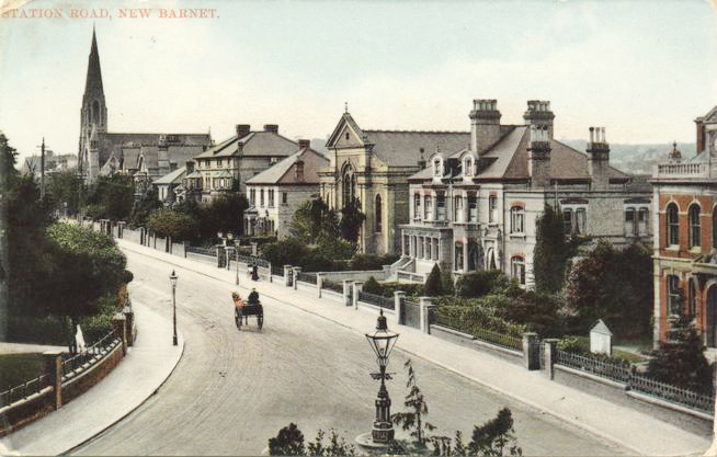
Station Road, New Barnet
Station Road is a road in New Barnet, northern Greater London, that runs from Station Approach and East Barnet Road in the east to the Great North Road...
Baptist Church, New Barnet
A Baptist Church once stood on the north side of Station Road, New Barnet. The church was designed by W. Allen Dixon and construction was underway by 21...
Related Videos

Totteridge Circular Walk | London Walks | Cool Dudes Walking Club
swcwalks #swcwalk228 A nine-mile walk around Totteridge in North London. Is this the closest rural walk to London. You decide.

Northern Heights | Totteridge Circular walk 4K | Day Sunday | 🇬🇧 Hiking UK | England
Totteridge Circular walk Meadows, woods and villages on the Northern Heights This walk, reachable by Underground, explores ...

Totteridge Circular walk | Hiking near London | 4K | Saturday Walk | 🇬🇧 Hiking UK | England
Meadows, woods and villages on the Northern Heights Main walk 14.1 km (8.8 miles) Main walk 2 out of 10. This walk, reachable ...

Totteridge Circular Walk: Exploring Nature's Tranquility near London | 🇬🇧 Hiking UK | England
Escape the hustle and bustle of the city and immerse yourself in the serene beauty of Totteridge on this delightful circular walk.
Nearby Amenities
Located within 500m of 51.647275,-0.179532Have you been to Barnet, New?
Leave your review of Barnet, New below (or comments, questions and feedback).