New Barn
Settlement in Kent Dartford
England
New Barn
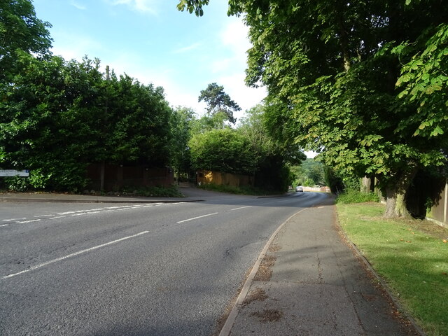
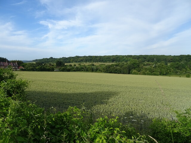
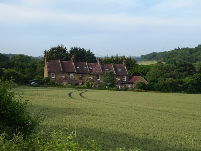
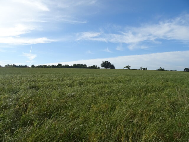
New Barn is a small rural village located in the county of Kent, in southeastern England. Situated approximately 30 miles southeast of London, it falls within the administrative district of Dartford. The village is nestled within a picturesque landscape, surrounded by green fields and rolling hills, offering a peaceful and idyllic setting.
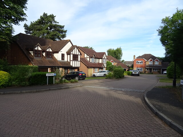
With a population of around 3,000 residents, New Barn maintains a strong sense of community and provides a close-knit village atmosphere. The village is primarily residential, consisting of a mix of charming cottages, modern houses, and some small-scale businesses. The architecture is diverse, reflecting different periods in history.
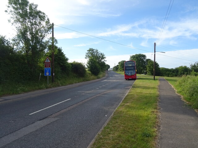
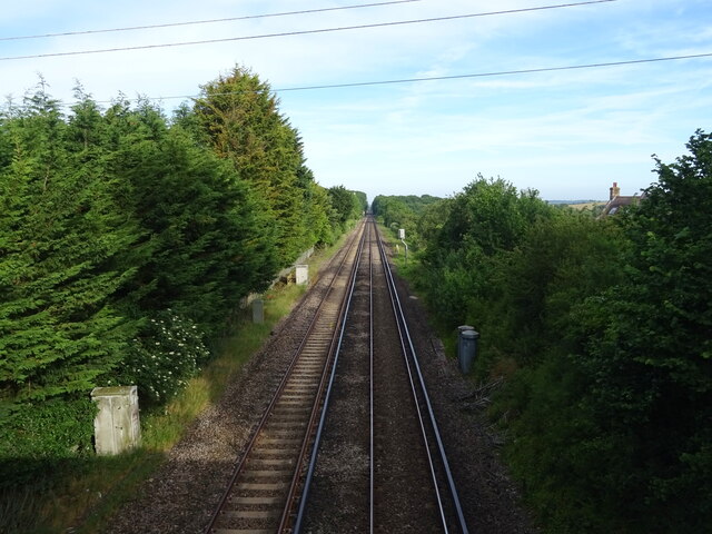
Despite its tranquil surroundings, New Barn benefits from excellent transport links. The nearby A2 and M25 motorways provide quick and convenient access to London and other major cities in the region. Additionally, the village is served by regular bus services, connecting residents to neighboring towns and villages.
New Barn offers a range of amenities to cater to the needs of its residents. These include a primary school, a local convenience store, a post office, and a village hall that serves as a venue for various community events and activities. The village is also home to a number of sports clubs and recreational facilities, including a cricket pitch, a football field, and a playground.
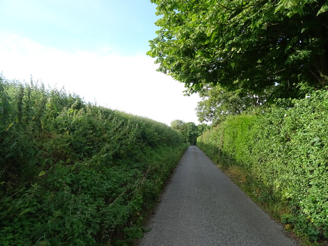
The surrounding countryside offers ample opportunities for outdoor pursuits, with numerous walking trails and nature reserves in the vicinity. For those seeking a peaceful and picturesque lifestyle within easy reach of urban amenities, New Barn provides an ideal location.
If you have any feedback on the listing, please let us know in the comments section below.
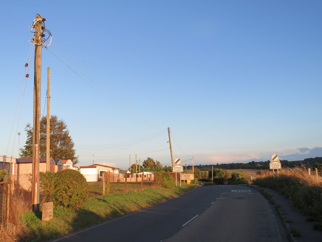
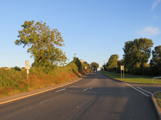
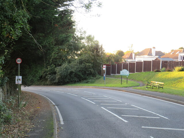
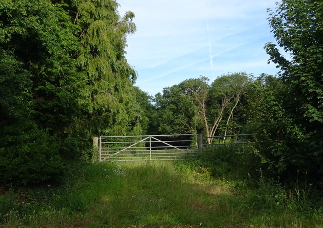
New Barn Images
Images are sourced within 2km of 51.395865/0.327134 or Grid Reference TQ6168. Thanks to Geograph Open Source API. All images are credited.


New Barn is located at Grid Ref: TQ6168 (Lat: 51.395865, Lng: 0.327134)
Administrative County: Kent
District: Dartford
Police Authority: Kent
What 3 Words
///frost.soak.precautions. Near Hartley, Kent
Related Wikis

Lathe of Sutton at Hone
The Lathe of Sutton-at-Hone historically included a large part of Kent: the present-day boroughs of Dartford, Bexley, Greenwich, Bromley, Lewisham, Sevenoaks...

New Barn
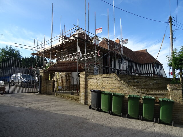
New Barn is a village in Kent, England. It is a compact residential area surrounded by open fields which lies four miles southwest of Gravesend. It is...

Axstane Hundred
Axstane was a hundred in the county of Kent, England. The Hundred of Axstane lay south-east of Dartford and Wilmington Hundred. It is called Achestan in...
Toltingtrough
Toltingtrough (or Toltingtrow) was a hundred in the Lathe of Aylesford in the county of Kent, England. This hundred is called, in some ancient writings...

Longfield Academy, Kent
Longfield Academy is an academy school in Longfield, Kent, England. The academy is operated by Leigh Academies Trust and occupies the site where Longfield...

Longfield
Longfield is a village in the Borough of Dartford, Kent, England. It is located 6 miles south east of Dartford and the same distance south-west of Gravesend...
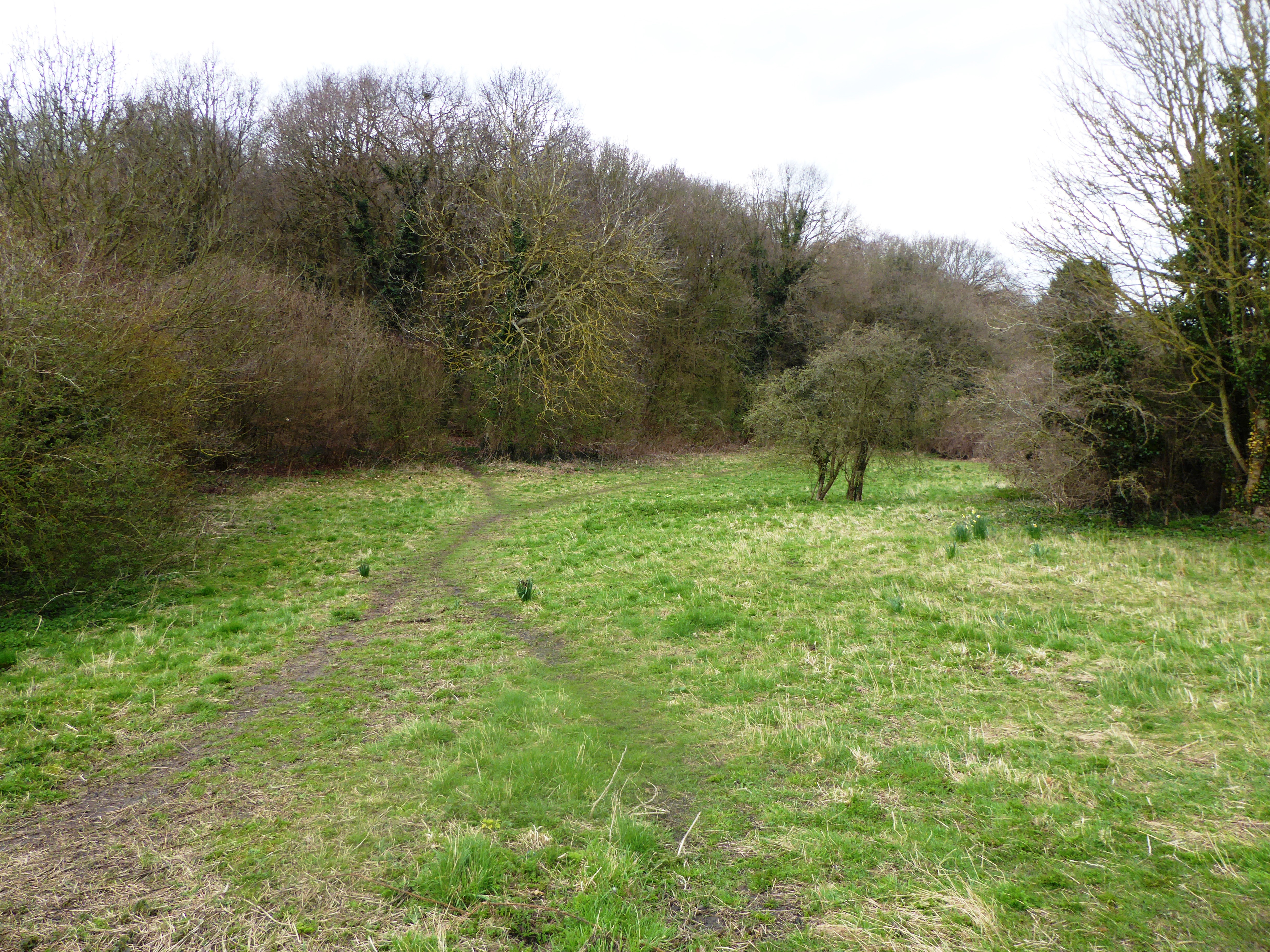
Rectory Meadow
Rectory Meadow is a 2.2-hectare (5.4-acre) Local Nature Reserve in Hartley in Kent. It is owned by Hartley Parish Council and managed by the council...
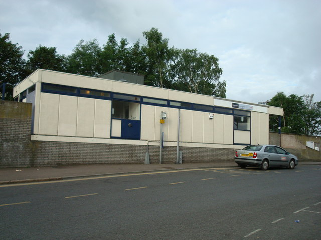
Longfield railway station
Longfield railway station is on the Chatham Main Line in England, serving the villages of Longfield, Hartley, and New Ash Green. It is 23 miles 30 chains...
Nearby Amenities
Located within 500m of 51.395865,0.327134Have you been to New Barn?
Leave your review of New Barn below (or comments, questions and feedback).