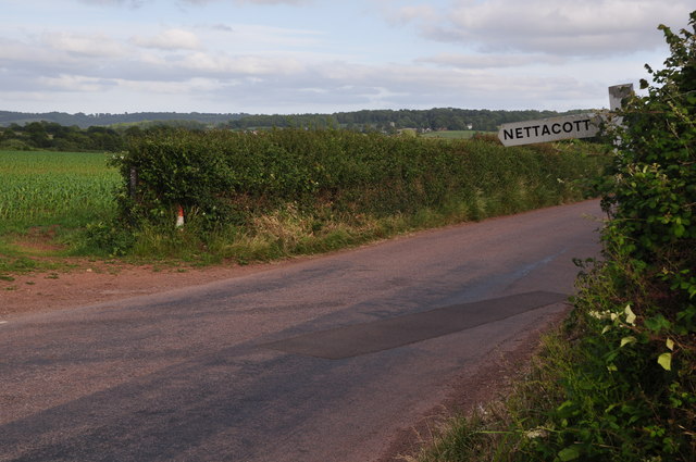
Nettacott
Settlement in Devon East Devon
England
Nettacott

Nettacott is a small rural village located in the county of Devon, in southwest England. Situated near the border of Cornwall, this picturesque hamlet is nestled among rolling green hills and farmland, providing a tranquil and scenic setting for its residents.
With a population of around 200 people, Nettacott has a close-knit community that is known for its friendly and welcoming atmosphere. The village is primarily residential, consisting of a mix of traditional stone cottages and more modern houses. Many of the properties in Nettacott boast well-maintained gardens and stunning views of the surrounding countryside.
Despite its small size, Nettacott is conveniently located just a short drive away from the larger towns of Bideford and Barnstaple, where residents can find a wider range of amenities, including shops, supermarkets, schools, and healthcare facilities. The village itself, however, lacks its own shops or amenities, making it a peaceful retreat away from the hustle and bustle of city life.
Nature lovers will appreciate the abundance of natural beauty surrounding Nettacott. The village is located within close proximity to Dartmoor National Park, which offers countless opportunities for hiking, cycling, and exploring the diverse wildlife and stunning landscapes of the area.
In summary, Nettacott is a charming village in Devon that offers a peaceful and idyllic lifestyle amidst the stunning countryside. Its close-knit community and proximity to larger towns and natural wonders make it an attractive place to reside for those seeking a quiet and scenic retreat.
If you have any feedback on the listing, please let us know in the comments section below.
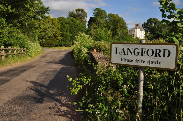
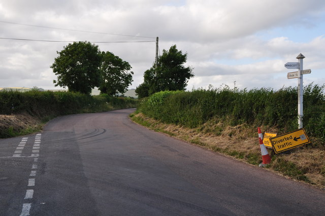
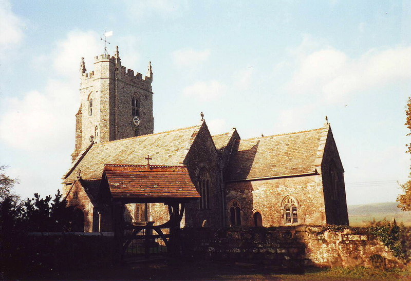
Nettacott Images
Images are sourced within 2km of 50.785031/-3.559006 or Grid Reference SX9099. Thanks to Geograph Open Source API. All images are credited.


Nettacott is located at Grid Ref: SX9099 (Lat: 50.785031, Lng: -3.559006)
Administrative County: Devon
District: East Devon
Police Authority: Devon and Cornwall
What 3 Words
///intruders.yesterday.money. Near Silverton, Devon
Nearby Locations
Related Wikis
Upton Pyne
Upton Pyne is a parish and village in Devon, England. The parish lies just north west of Exeter, mainly between the River Exe and River Creedy. The village...

Berrysbridge
Berrysbridge is a village in Devon, England. == External links == Media related to Berrysbridge at Wikimedia Commons
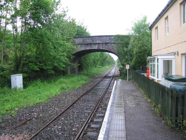
Newton St Cyres railway station
Newton St Cyres railway station is a railway station serving the village of Newton St Cyres, Devon, England. It is served by Great Western Railway trains...

Thorverton
Thorverton is a civil parish and village in Devon, England, about a mile west of the River Exe and 8 miles (13 km) north of Exeter. It is almost centrally...
Nearby Amenities
Located within 500m of 50.785031,-3.559006Have you been to Nettacott?
Leave your review of Nettacott below (or comments, questions and feedback).