Alder Grove
Wood, Forest in Devon East Devon
England
Alder Grove

Alder Grove, located in Devon, England, is a picturesque woodland area known for its lush greenery and serene atmosphere. This enchanting forest is nestled in the heart of the Devon countryside, making it a popular destination for nature lovers and outdoor enthusiasts.
Spanning over several acres, Alder Grove boasts an impressive collection of alder trees, which give the forest its name. These majestic trees create a dense canopy overhead, providing a habitat for a diverse range of flora and fauna. The forest floor is covered in a thick layer of moss and ferns, adding to its ethereal charm.
Visitors to Alder Grove can expect to encounter a variety of wildlife, including deer, rabbits, and a plethora of bird species. The tranquil environment of the forest offers a perfect opportunity for birdwatchers and wildlife enthusiasts to observe these creatures in their natural habitat.
The forest is crisscrossed by a network of well-maintained walking trails, allowing visitors to explore the beauty of Alder Grove at their own pace. These paths wind through the trees and lead to hidden clearings, offering breathtaking views of the surrounding countryside.
Alder Grove is also home to a small, picturesque pond, where visitors can relax and enjoy the soothing sounds of nature. The pond is teeming with aquatic life, including frogs and dragonflies, and provides a peaceful spot for contemplation and reflection.
Whether it is for a leisurely stroll, birdwatching, or simply immersing oneself in the tranquility of nature, Alder Grove in Devon offers a truly enchanting experience for all who visit.
If you have any feedback on the listing, please let us know in the comments section below.
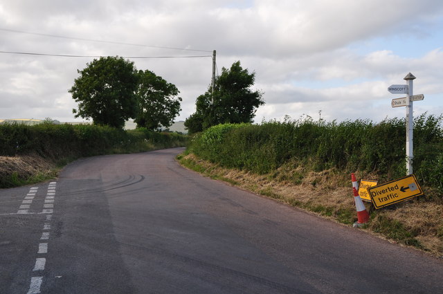
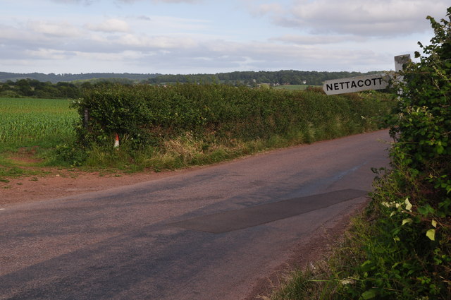
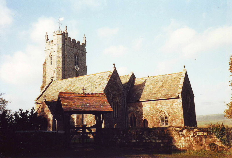
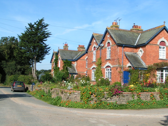
Alder Grove Images
Images are sourced within 2km of 50.78712/-3.5479003 or Grid Reference SX9099. Thanks to Geograph Open Source API. All images are credited.


Alder Grove is located at Grid Ref: SX9099 (Lat: 50.78712, Lng: -3.5479003)
Administrative County: Devon
District: East Devon
Police Authority: Devon and Cornwall
What 3 Words
///arrival.fields.irrigate. Near Silverton, Devon
Nearby Locations
Related Wikis

Berrysbridge
Berrysbridge is a village in Devon, England. == External links == Media related to Berrysbridge at Wikimedia Commons

Thorverton
Thorverton is a civil parish and village in Devon, England, about a mile west of the River Exe and 8 miles (13 km) north of Exeter. It is almost centrally...

Brampford Speke
Brampford Speke ( BRAM-fərdz-beek) is a small village in Devon, 4 miles (6 km) to the north of Exeter. The population is 419. It is located on red sandstone...
Upton Pyne
Upton Pyne is a parish and village in Devon, England. The parish lies just north west of Exeter, mainly between the River Exe and River Creedy. The village...

Raddon Top
Raddon Top is the highest point of the Raddon Hills, a small ridge of hills in the Shobrooke area of Mid Devon. The summit is at some 235 metres above...
Nether Exe
Nether Exe or Netherexe is a very small village and civil parish in Devon, England. It lies near the River Exe, as its name suggests, about 5 miles (8...
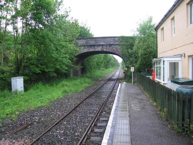
Newton St Cyres railway station
Newton St Cyres railway station is a railway station serving the village of Newton St Cyres, Devon, England. It is served by Great Western Railway trains...
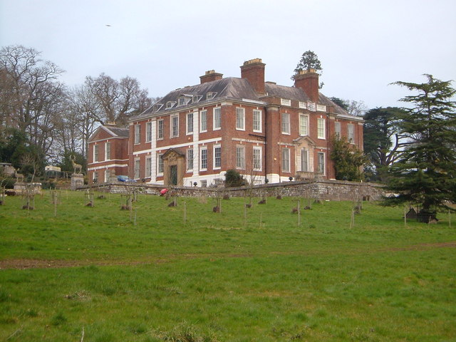
Pynes House
Pynes House is a Grade II* listed Queen Anne style country house built by Hugh Stafford between around 1700 and 1725, situated in the parish of Upton Pyne...
Nearby Amenities
Located within 500m of 50.78712,-3.5479003Have you been to Alder Grove?
Leave your review of Alder Grove below (or comments, questions and feedback).