Nantmor
Settlement in Merionethshire
Wales
Nantmor
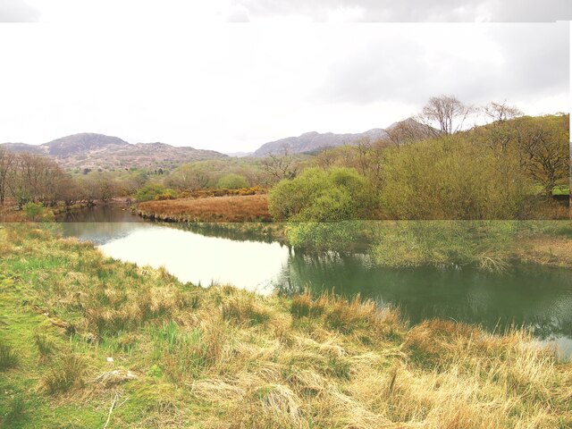
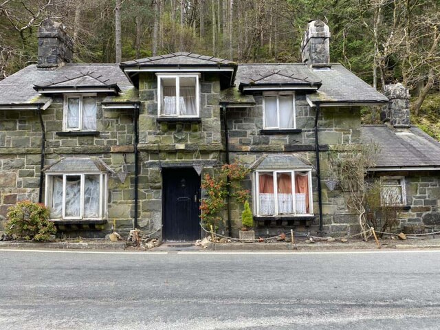
Nantmor is a small village located in the county of Merionethshire, Wales. Situated in the picturesque Snowdonia National Park, it lies in the valley of the River Glaslyn, approximately 5 miles southeast of the town of Porthmadog.
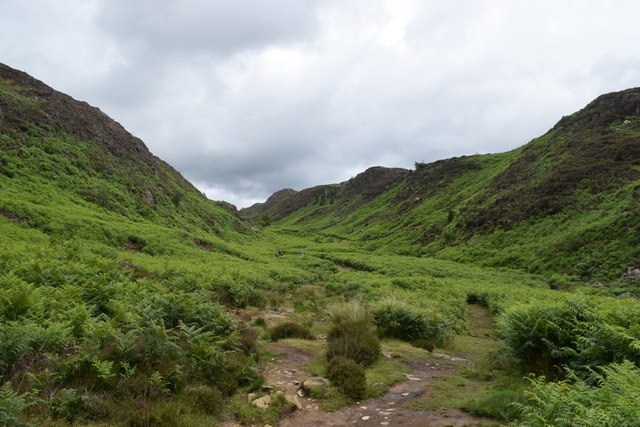
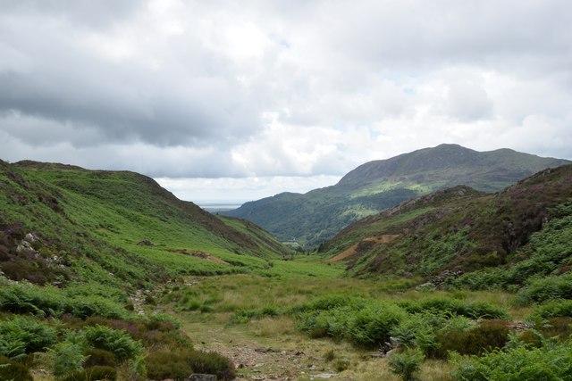
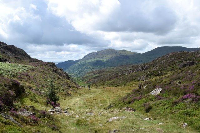
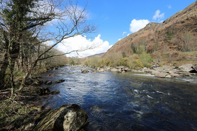
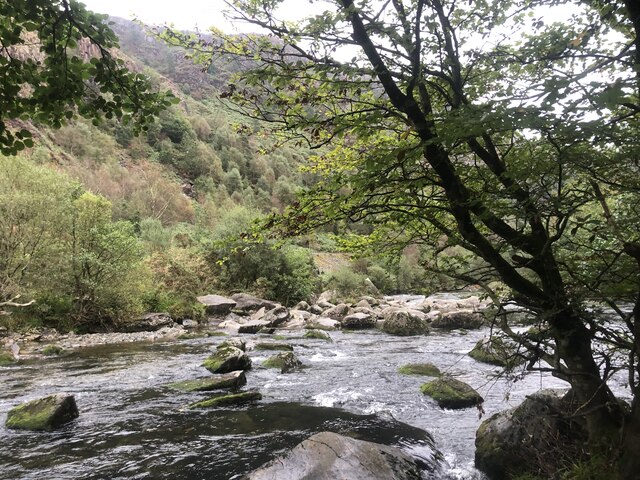
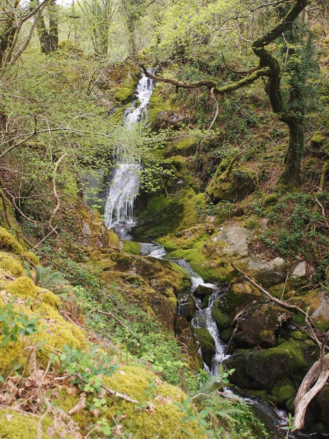
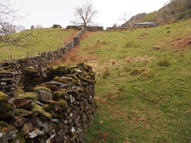
The village is surrounded by breathtaking natural beauty, with rugged mountains and lush green valleys. Nantmor is a popular destination for outdoor enthusiasts, offering numerous hiking trails and opportunities for birdwatching, fishing, and wildlife spotting. The nearby Moel Hebog and Moelwyn mountain ranges provide stunning panoramic views of the surrounding countryside.
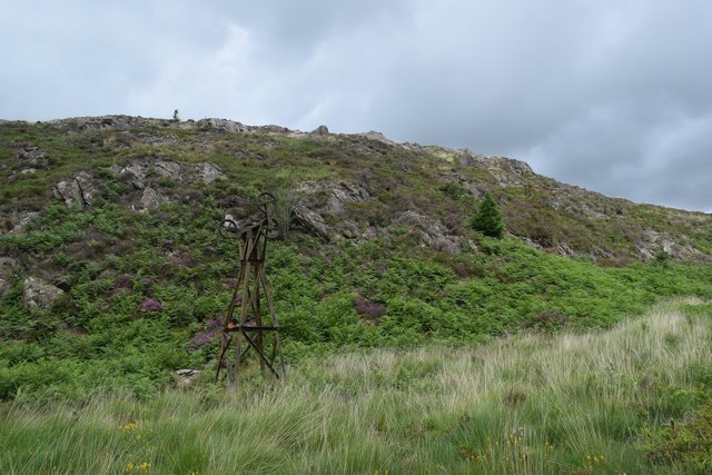
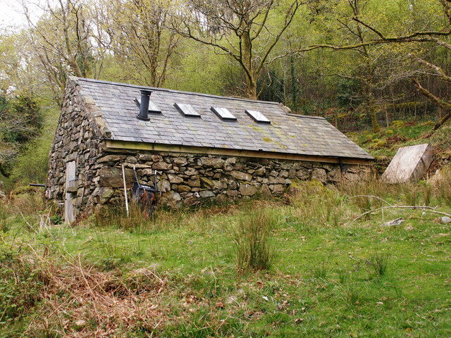
Nantmor is home to several historic sites, including the Church of St. David, which dates back to the 12th century and features a beautiful medieval tower. The village was once a thriving center for slate mining, and remnants of this industrial past can still be seen in the form of old quarries and mining buildings.
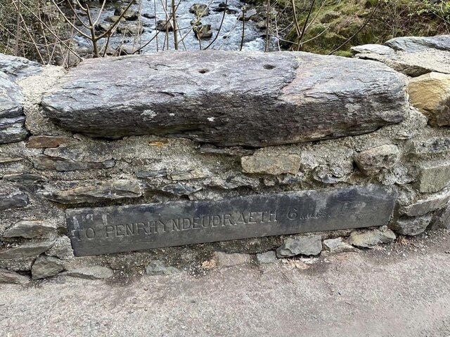
Despite its small size, Nantmor has a close-knit community and a range of amenities for residents and visitors. These include a village hall, a pub, and a small shop. The village is also well-connected, with regular bus services to nearby towns and villages.
Overall, Nantmor offers a tranquil and idyllic setting for those seeking a peaceful retreat in the heart of the Welsh countryside. Its natural beauty, rich history, and friendly community make it a charming destination for both locals and tourists alike.
If you have any feedback on the listing, please let us know in the comments section below.
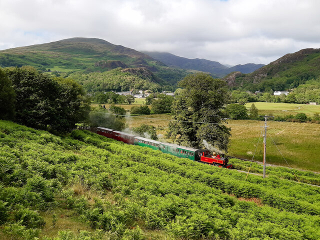
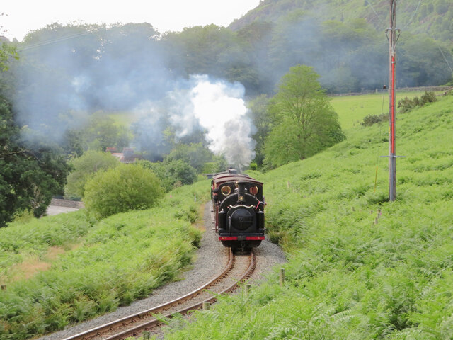
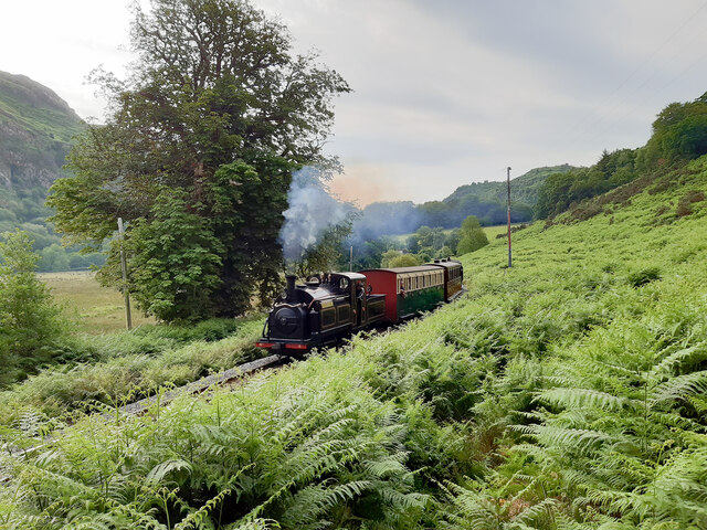
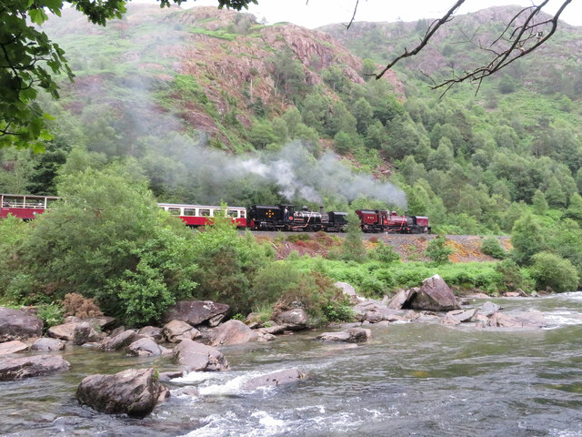
Nantmor Images
Images are sourced within 2km of 52.99364/-4.0871741 or Grid Reference SH6046. Thanks to Geograph Open Source API. All images are credited.


Nantmor is located at Grid Ref: SH6046 (Lat: 52.99364, Lng: -4.0871741)
Unitary Authority: Gwynedd
Police Authority: North Wales
What 3 Words
///guarded.encodes.jumpy. Near Penrhyndeudraeth, Gwynedd
Nearby Locations
Related Wikis
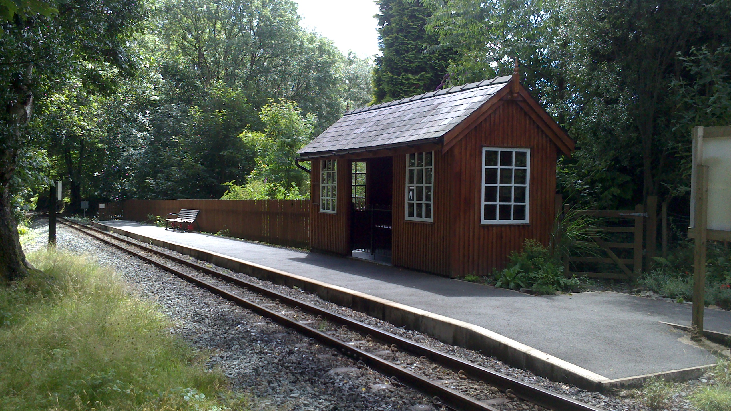
Nantmor railway station
Nantmor is a railway halt in North Wales serving the nearby hamlet of the same name. It is located between the stations of Beddgelert and Pont Croesor...

Nantmor
Nantmor is a hamlet which lies about 1½ miles to the south of the village of Beddgelert in Gwynedd, Wales. The current spelling of the name Nantmor is...

Pont Aberglaslyn
Pont Aberglaslyn is a stone arch bridge over the Afon Glaslyn and the surrounding hamlet, located near Beddgelert and Nantmor in Gwynedd, north-west Wales...

Aberglaslyn Pass
The Aberglaslyn Pass (Welsh: Bwlch Aberglaslyn) is a narrow gorge of considerable beauty in Snowdonia, Gwynedd, north Wales. The A498 road/A4085 road follows...
Nearby Amenities
Located within 500m of 52.99364,-4.0871741Have you been to Nantmor?
Leave your review of Nantmor below (or comments, questions and feedback).